Nicaragua
Volcanic lakes, historic towns, coffee highlands and two contrasting coasts meet living cultures and regional cooking.
Worth coming back!
Wanderlama keeps growing with new destinations, helpful information and exciting features. Check back soon and discover what is new!
Travel to Nicaragua
Nicaragua is Central America's largest country, with volcanic lakes, Pacific surf, Caribbean islands and forested highlands. Indigenous, Spanish and Afro-Caribbean influences shape its languages, music, crafts and cooking. Beyond the familiar Granada, León and Ometepe circuit, coffee-growing mountains, river settlements and coastal communities reveal distinct regional identities.
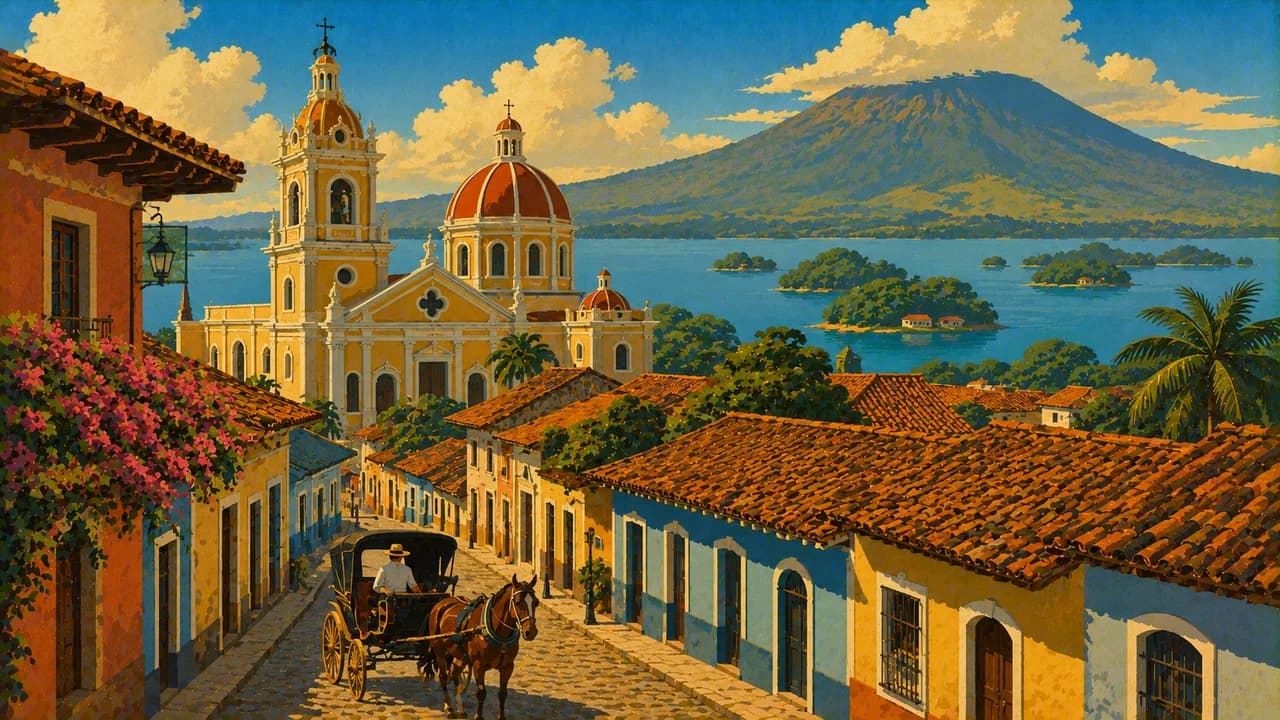
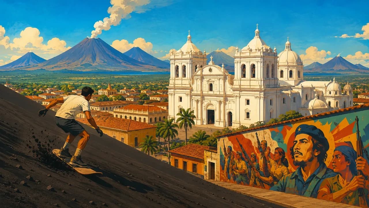
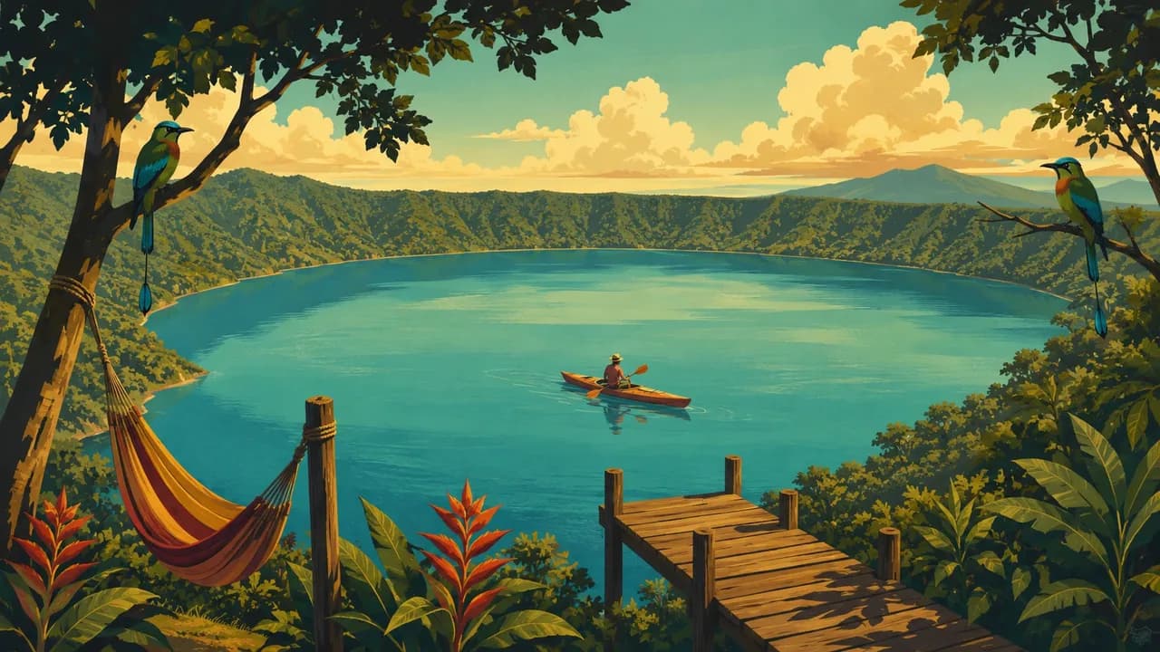
Granada combines colonial streets with Las Isletas on Lake Nicaragua, also called Cocibolca, and Mombacho's cloud forest. León's cathedral and the separate ruins of León Viejo offer contrasting perspectives on colonial history, while Managua adds the capital's lakeside setting and museums. Masaya and the Pueblos Blancos introduce craft traditions, and Laguna de Apoyo fills a forest-fringed volcanic crater.
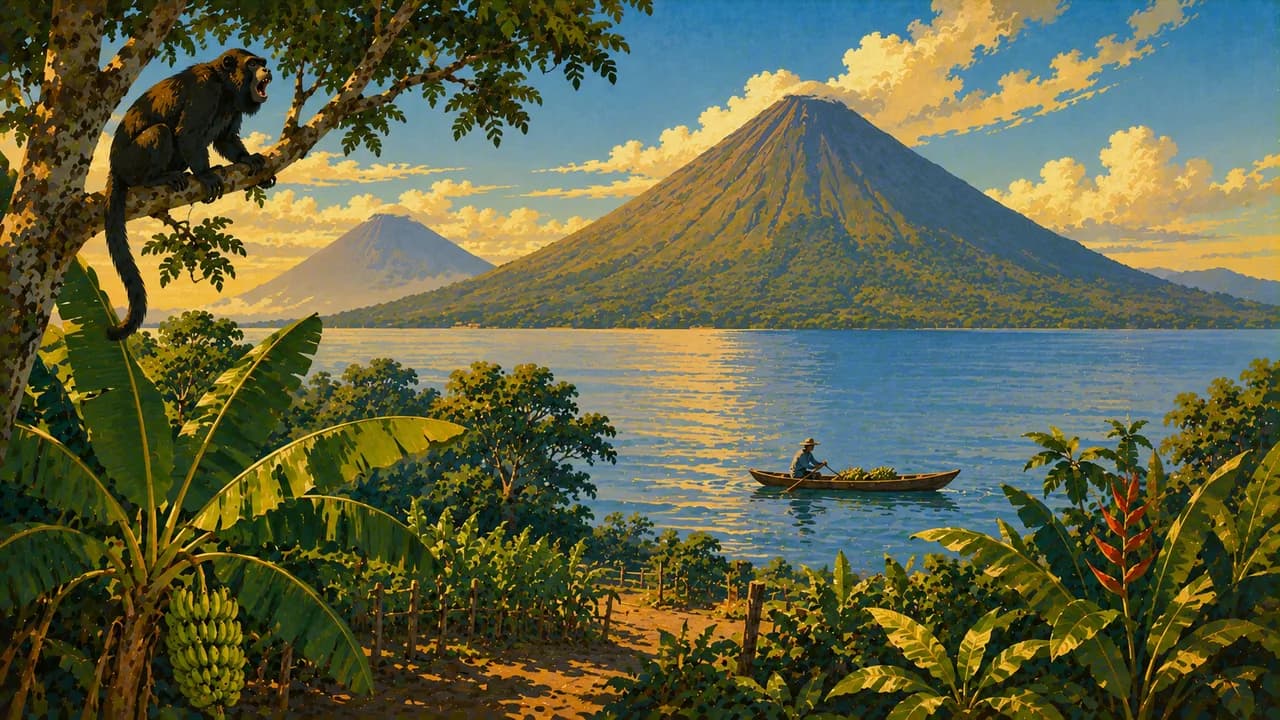
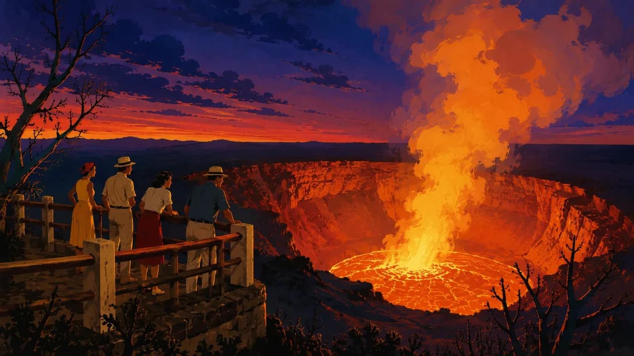
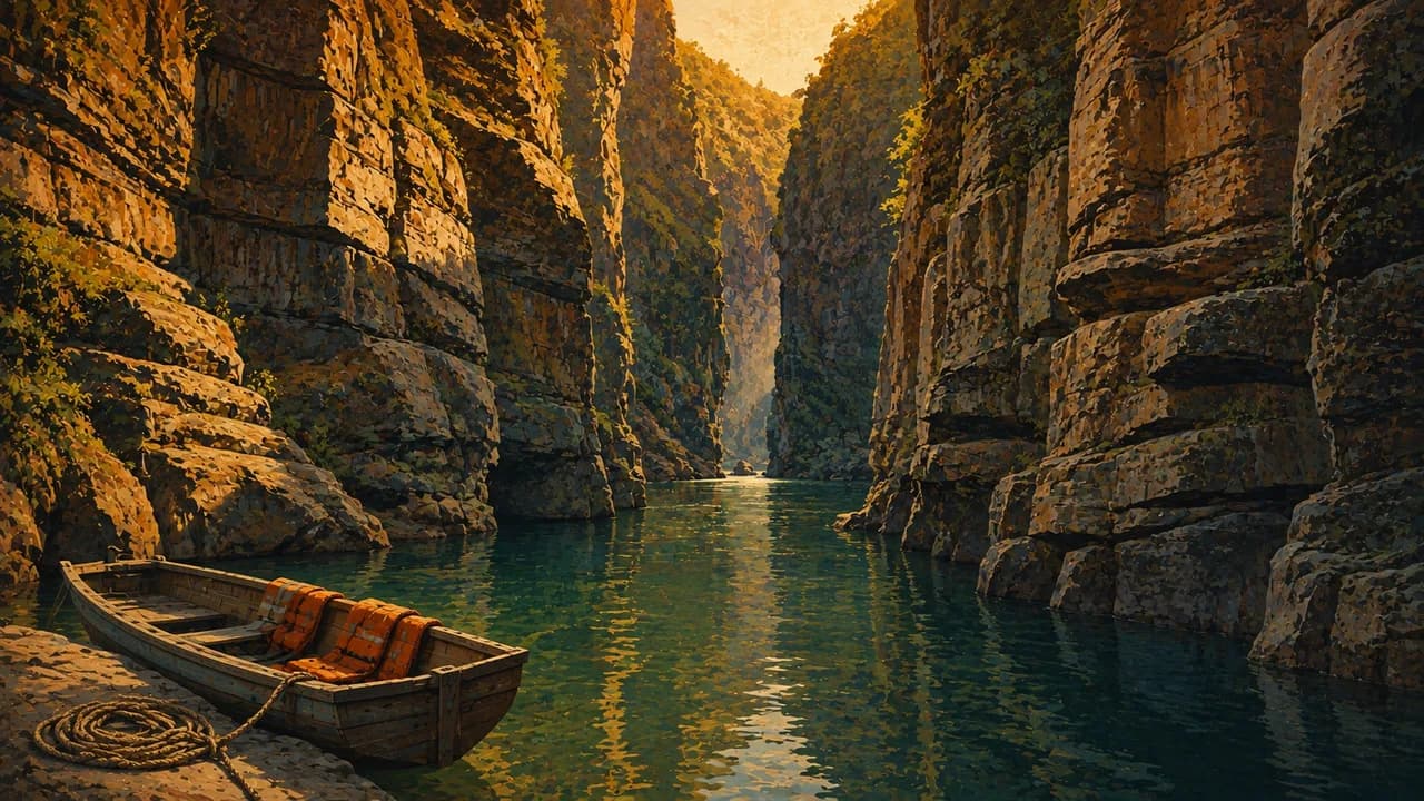
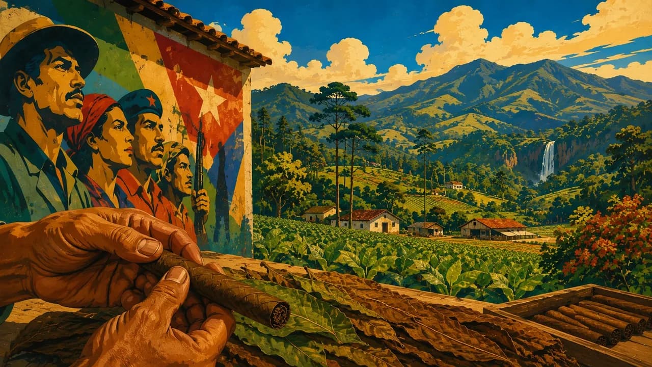
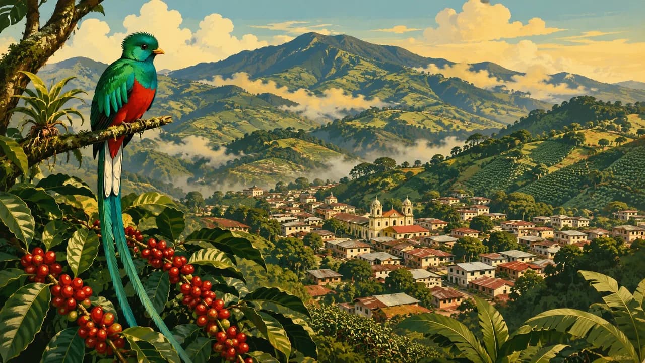
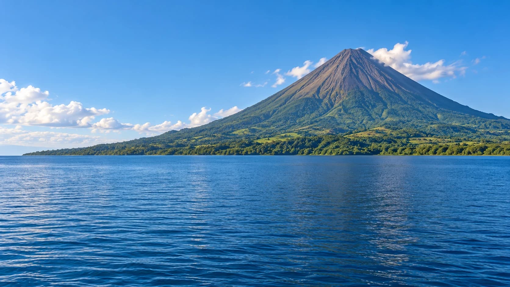
Ometepe's Concepción and Maderas volcanoes frame villages, petroglyphs and wetlands. Masaya and Cerro Negro represent active volcanic landscapes, but lava visibility, crater access and excursions are never guaranteed. Volcano boarding at Cerro Negro depends on permitted routes and qualified operators. Matagalpa and Jinotega add coffee farms and mountain forests, Estelí contributes murals and cigar-making, and Miraflor offers community-based rural tourism. Somoto Canyon, within the Río Coco UNESCO Global Geopark, requires water-level checks and appropriate local guidance.
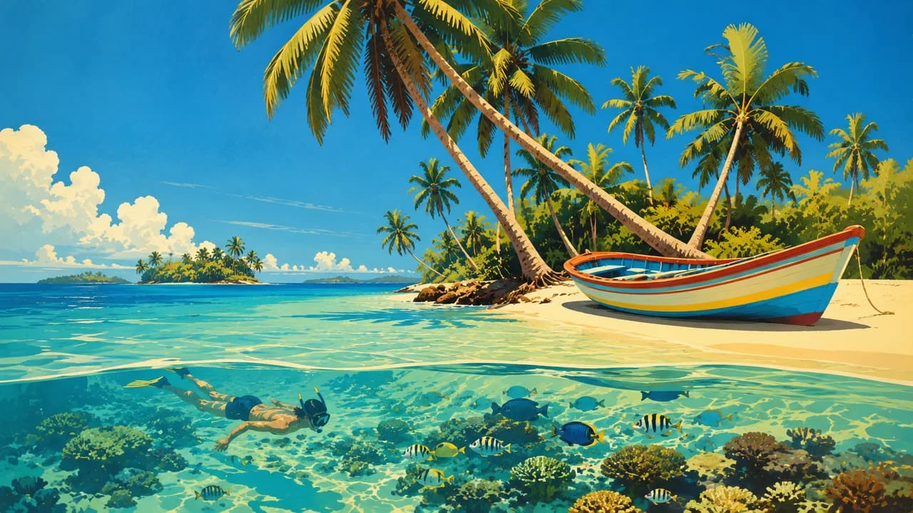
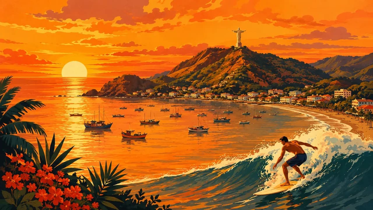
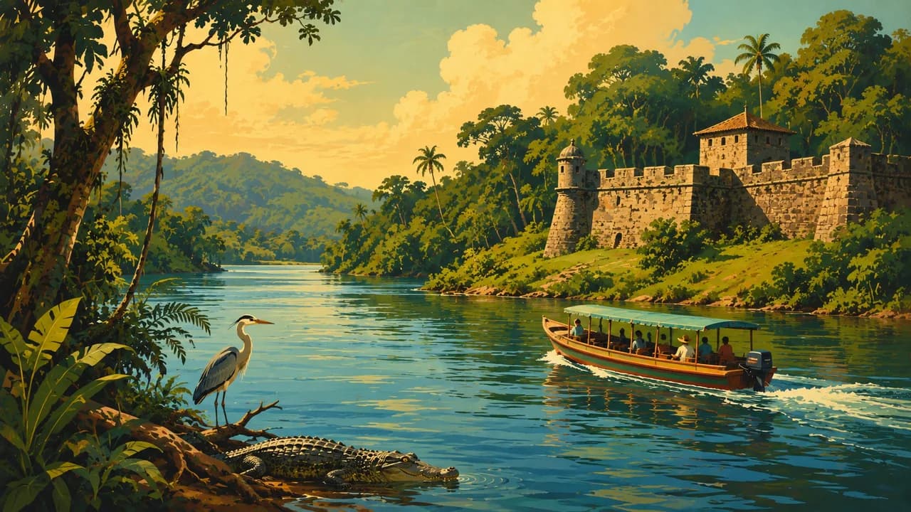
San Juan del Sur, Popoyo and Las Peñitas represent different Pacific beach and surf settings, where waves do not imply safe swimming. Big Corn Island and Little Corn Island offer Caribbean beaches and reefs, with weather-dependent crossings and diving conditions. Bluefields and Pearl Lagoon add living Creole and Indigenous traditions. Río San Juan, El Castillo, Solentiname's artists and the wetlands of Los Guatuzos broaden the southern picture. Indio Maíz and Bosawás require separate planning, confirmed permissions and community consent rather than casual detours.
Gallo pinto, nacatamales, vigorón, Caribbean rondón, cacao and coffee express the country's regional cooking. Regional rainfall, volcanic terrain and marine habitats connect the country's landscapes with conservation and community life. INETER documents the volcanic landscape.
AI edited
- 15 + 2
- Departments & autonomous regions Nicaragua has 15 departments and 2 autonomous Caribbean regions. These administrative units are not equivalent to tourism landscapes.
- 5
- Active volcanoes Concepción, San Cristóbal, Telica, Momotombo and Masaya have erupted since 2000. Cerro Negro last erupted in 1999.
- ≈ 7.0 million
- Population Rounded from 7,008,000 people in the UN's medium-fertility population projection for 2025. This is a dated projection, not a census count or live population total.
- ≈ 130,000 km²
- Area Rounded from the UN statistical reference of 130,374 square kilometres, including inland waters. This does not endorse territorial claims.
- Spanish
- Language Spanish is the state's official language. Caribbean community languages also have regional official recognition. English proficiency varies.
- Creole, Miskitu & others
- Other languages Caribbean languages include English Creole, Miskitu, Mayangna, Ulwa, Garifuna and Rama. Usage varies by community and does not imply universal proficiency.
- Córdoba (NIO)
- Currency The currency code is NIO and the symbol is C$. Confirm prices, cash needs, payment currency and card acceptance beforehand. A dollar sign alone does not identify a currency.
- A · B
- Socket types Plug types A and B. Confirm voltage, frequency and device compatibility with accommodation. A travel adaptor does not convert voltage.
- Managua
- Capital Managua is the national capital. León and Granada are separate historic cities, not the present national capital.
- Right-hand traffic
- Driving side Traffic drives on the right. Avoid overland travel after dark.
- UTC−6
- Time zone UTC−6 year-round without seasonal clock changes. Differences from your browser and saved home location may change when those places switch clocks.
Nicaragua on the map

Map data: geoBoundaries (CC BY 4.0), © OpenStreetMap contributors (ODbL), Natural Earth
Climate and best time to travel
Pacific and many central areas are generally drier from November to April, while Caribbean rain lasts longer and highland conditions vary with elevation. Calendar windows are planning guidance, not guaranteed weather or opening seasons. Storms, river levels and damaged roads can disrupt journeys. Remote reserves require confirmed permissions and community consent.