Honduras
Caribbean islands and reefs, Maya heritage and green mountain landscapes meet living cultures and regional cooking.
Worth coming back!
Wanderlama keeps growing with new destinations, helpful information and exciting features. Check back soon and discover what is new!
Travel to Honduras
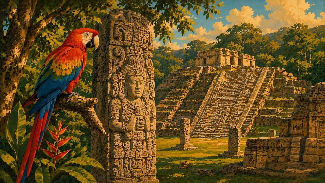
Honduras combines a long Caribbean coast and offshore islands with mountain highlands and a shorter Pacific shoreline on the Gulf of Fonseca. Copán's UNESCO-listed Maya site is known for sculpted stelae and its Hieroglyphic Stairway, while the nearby town provides a base for exploring the western countryside.
Gracias and the cloud forests of Celaque introduce the western highlands, complemented by Santa Rosa de Copán's historic streets and coffee-growing landscapes. Lenca communities maintain living craft and cultural traditions rather than representing only the country's past. Comayagua adds colonial architecture, while the capital Tegucigalpa combines museums and historic neighbourhoods with nearby Valle de Ángeles and La Tigra's mountain forests.
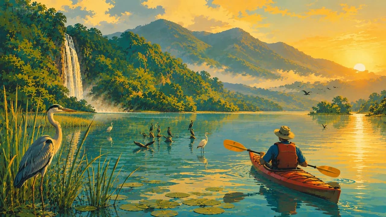
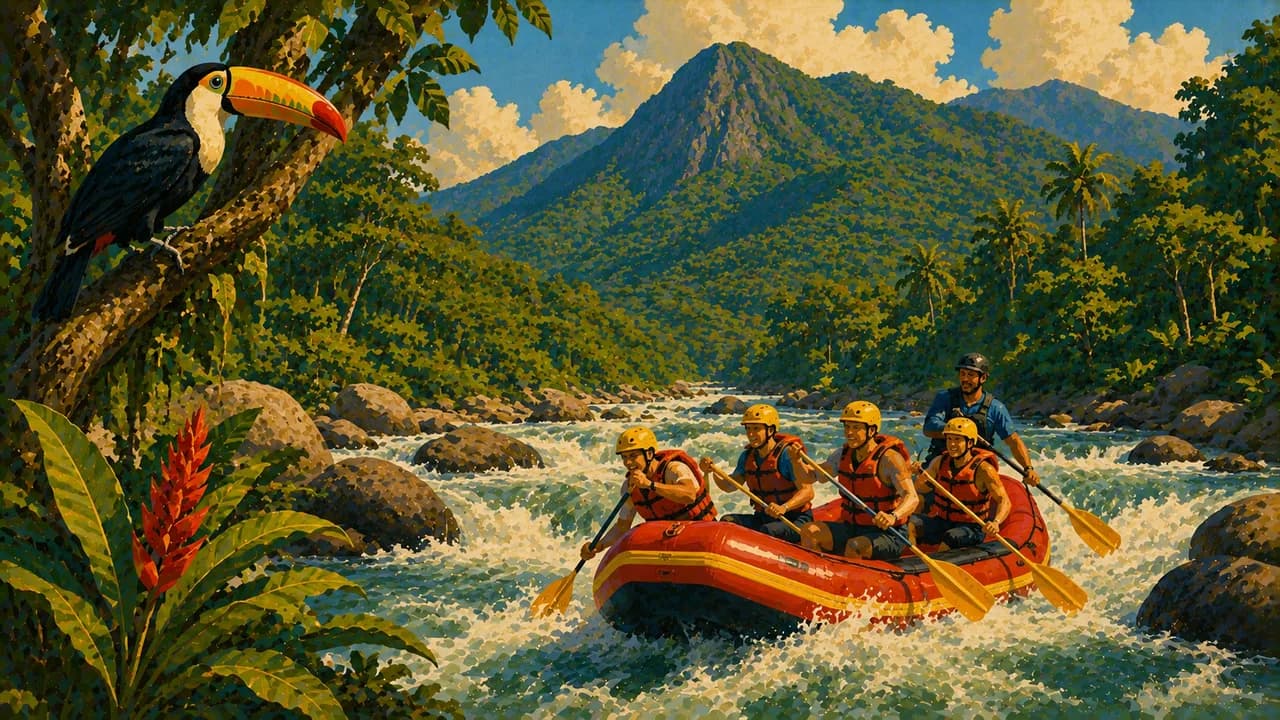
Lake Yojoa brings together birdwatching, Los Naranjos' archaeological remains and the surrounding forests of Cerro Azul Meámbar. Along the north coast, Tela and Jeannette Kawas National Park connect beaches, lagoons and tropical habitats. La Ceiba is a base for Pico Bonito forest excursions and rafting on the Río Cangrejal with qualified operators. Garifuna communities contribute distinct languages, music and food to contemporary coastal life.
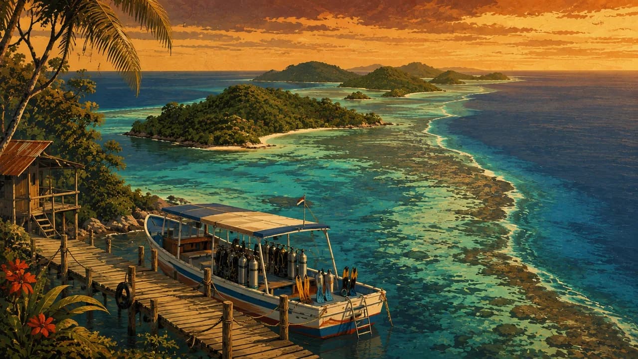
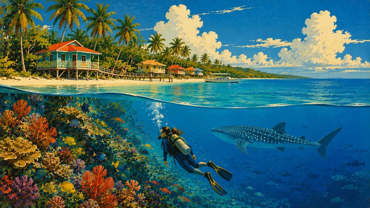
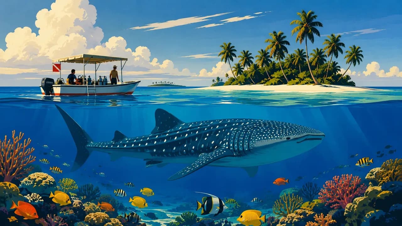
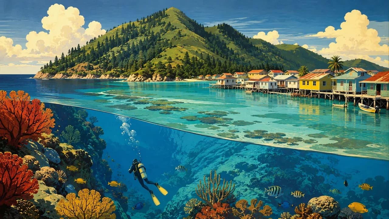
The Bay Islands of Roatán, Utila and Guanaja offer different bases for diving and snorkelling within the Mesoamerican Reef region. Cayos Cochinos adds protected islands and marine habitats, with access subject to conservation rules and sea conditions. Whale sharks may be encountered around Utila, but sightings are never guaranteed. In the remote Mosquitia, the Río Plátano Biosphere Reserve protects forest and river landscapes alongside Indigenous communities.
In the south, Choluteca and Amapala on Isla del Tigre add Gulf of Fonseca landscapes. Baleadas, maize dishes, seafood, coconut preparations and coffee reflect regional cooking. Rainfall, tropical storms and road conditions can disrupt journeys, while ferries and flights require confirmation. Respect reefs and wildlife, check operator qualifications, and plan realistic transfers. La Mosquitia is not a straightforward add-on, and community consent, access arrangements and operator qualifications shape remote journeys.
AI edited
- 18
- Administrative departments Honduras is divided into 18 departments. Administrative units are not equivalent to tourism landscapes.
- ≈ 8.3 million
- Population Rounded from 8,303,771 residents in the INE census of 2013. A historical census count, not a current population estimate or projection.
- ≈ 112,000 km²
- Area Rounded from the statistical area reference of 112,492 square kilometres. This does not endorse territorial claims.
- Spanish
- Language Spanish is the official language. Islands and different communities use additional languages, and English proficiency varies.
- Garifuna, Miskito & others
- Other languages These include Garifuna, Miskito, other Indigenous languages and English in the Bay Islands. Usage and proficiency vary regionally.
- Lempira (HNL)
- Currency The currency code is HNL. Check prices, cash needs and card acceptance in advance, and confirm the currency when prices are quoted in dollars.
- A · B
- Socket types Plug types A and B. Confirm voltage, frequency and device compatibility with accommodation. A travel adaptor does not convert voltage.
- Tegucigalpa
- Capital Tegucigalpa and Comayagüela together form the Distrito Central. San Pedro Sula is a different city, not the capital.
- Right-hand traffic
- Driving side Traffic drives on the right.
- UTC−6
- Time zone UTC−6 year-round without seasonal clock changes. Differences from your browser and saved home location may change when those places switch clocks.
Honduras on the map

Map data: geoBoundaries (CC BY 4.0), © OpenStreetMap contributors (ODbL), Natural Earth
Climate and best time to travel
Highlands, Caribbean coast and Pacific areas have different rainfall patterns. Winter and spring are drier planning windows in many places, but the north coast can receive heavy winter rain. Tropical storms, river levels and damaged roads can disrupt transfers and excursions. Calendar labels guarantee neither weather, access nor sightings. Remote areas require particular access planning and community consent.