Guatemala
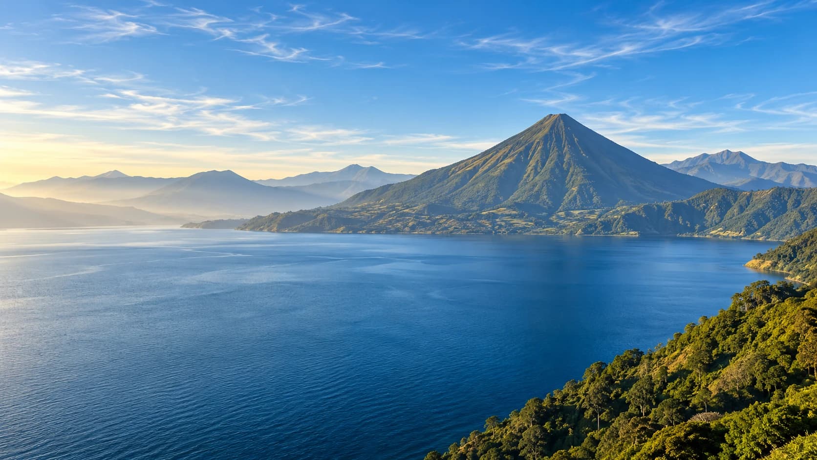
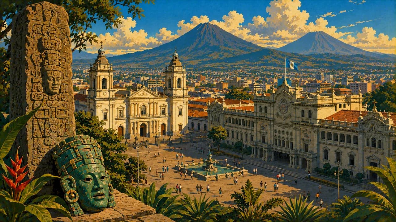
Volcanoes and highland lakes, monumental Maya heritage and living cultures meet rainforests and regional cooking.
Worth coming back!
Wanderlama keeps growing with new destinations, helpful information and exciting features. Check back soon and discover what is new!
Travel to Guatemala
Guatemala links Central America's volcanic highlands with the rainforest of Petén, a Pacific coast and a short Caribbean shoreline. Maya peoples, languages and traditions are part of contemporary life, not only archaeological history. Guatemala City combines museums and its historic centre with the archaeological remains of Kaminaljuyú.
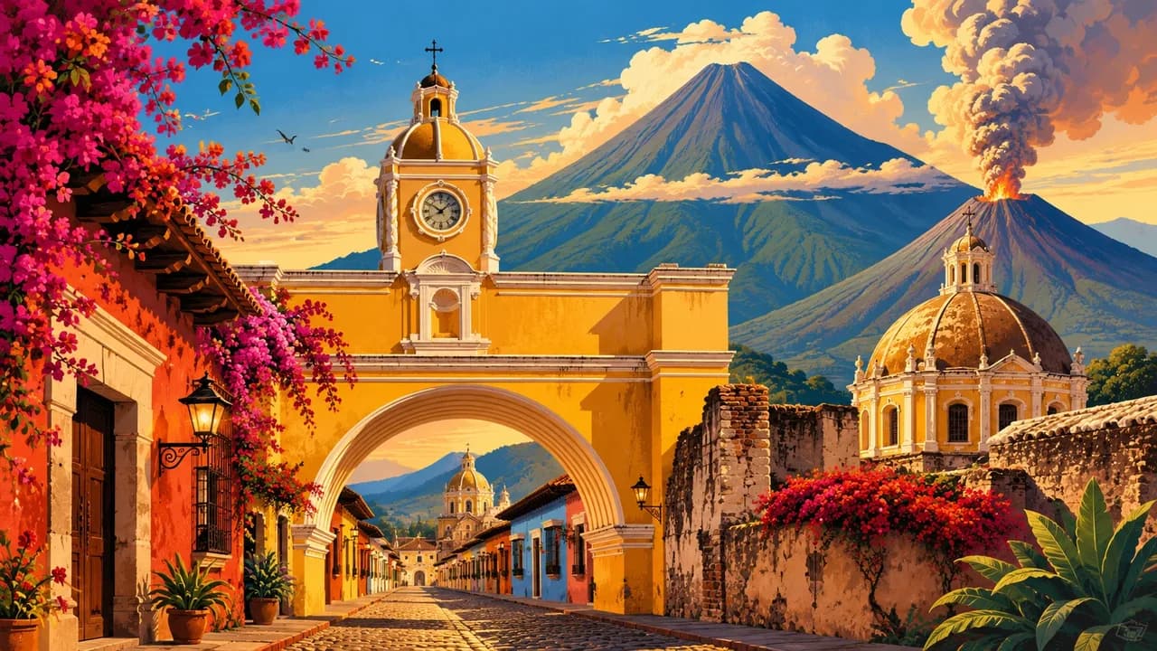
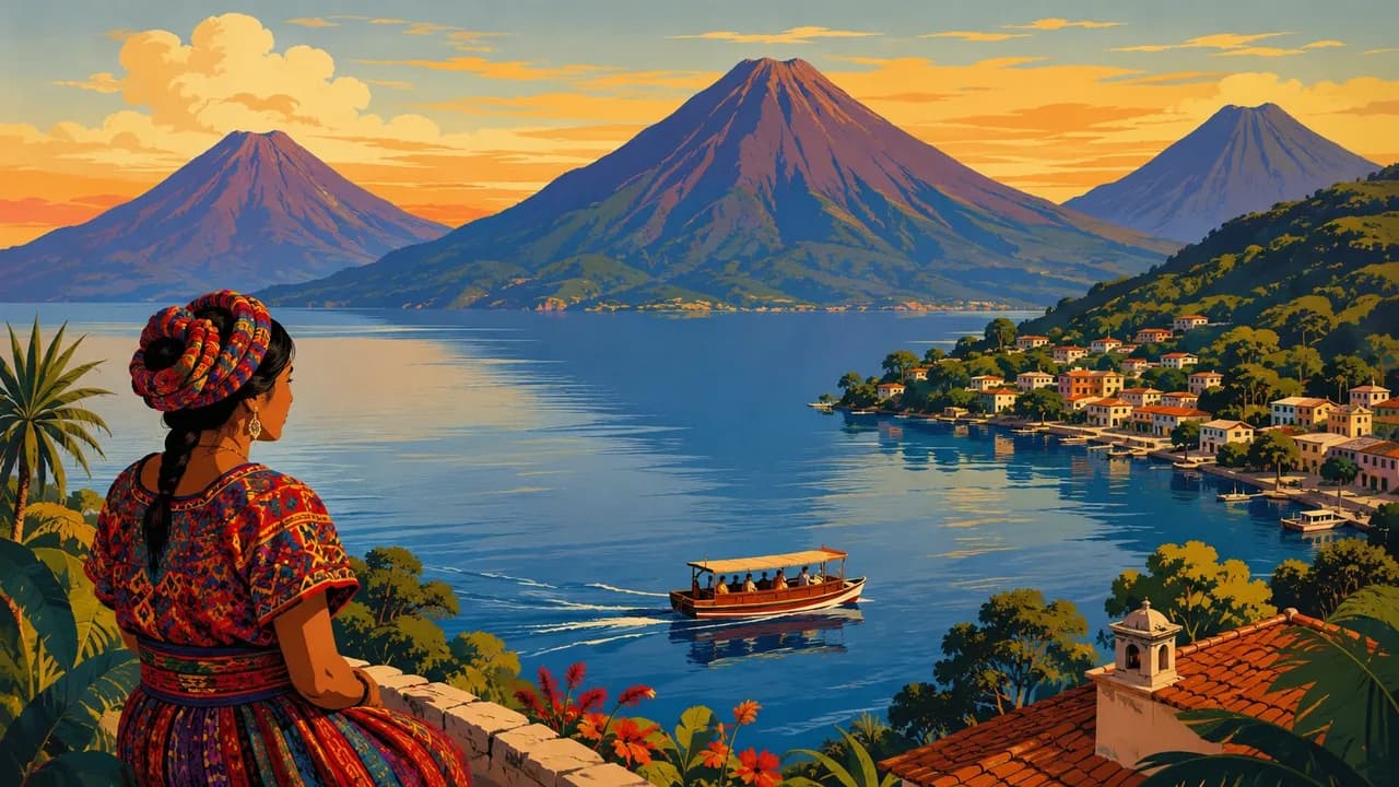
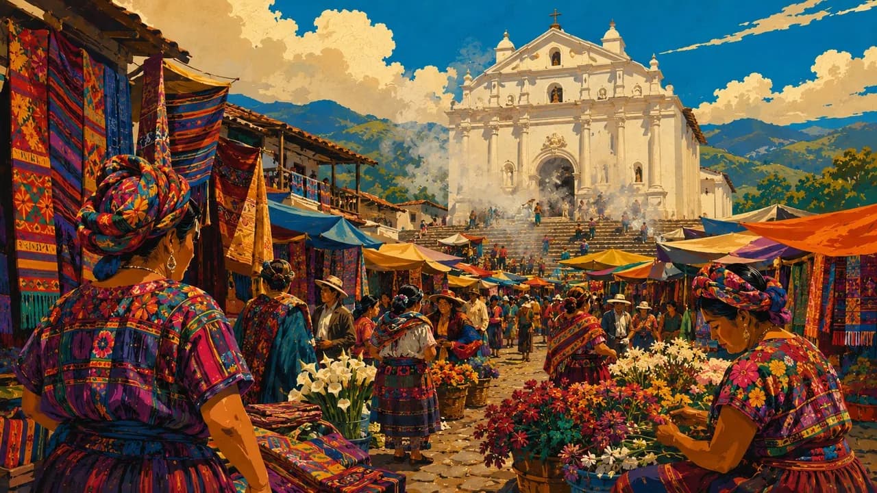
UNESCO-listed Antigua Guatemala preserves colonial streets, churches and courtyards beneath volcanic peaks. Lake Atitlán's shores connect Panajachel, Santiago Atitlán and San Juan La Laguna with weaving, painting and living Maya communities. Chichicastenango's market and religious traditions complement Quetzaltenango, also called Xela, and the western highlands. Coffee-growing landscapes add another perspective on rural life.
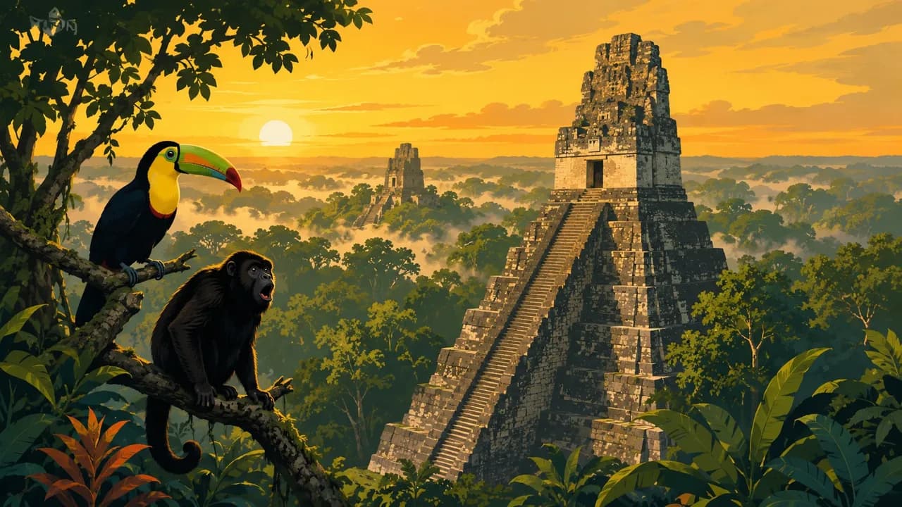
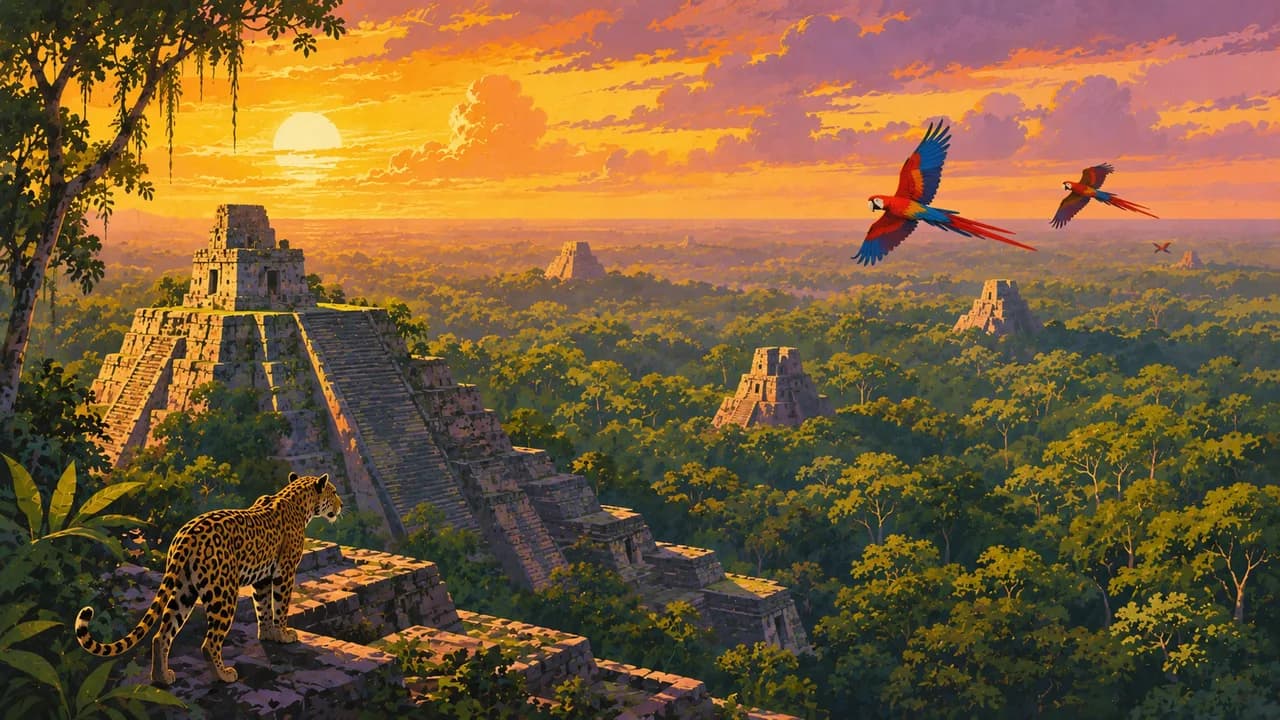
In the north, Flores on Lake Petén Itzá is a base for exploring Petén. Tikal combines monumental Maya temples with protected tropical forest, while Yaxhá offers another lakeside archaeological landscape. El Mirador requires a separately planned remote expedition rather than a casual extension of a Tikal visit. Quiriguá's carved stone monuments and Tak'alik Ab'aj's Olmec–Maya cultural connections broaden the country's archaeological story.
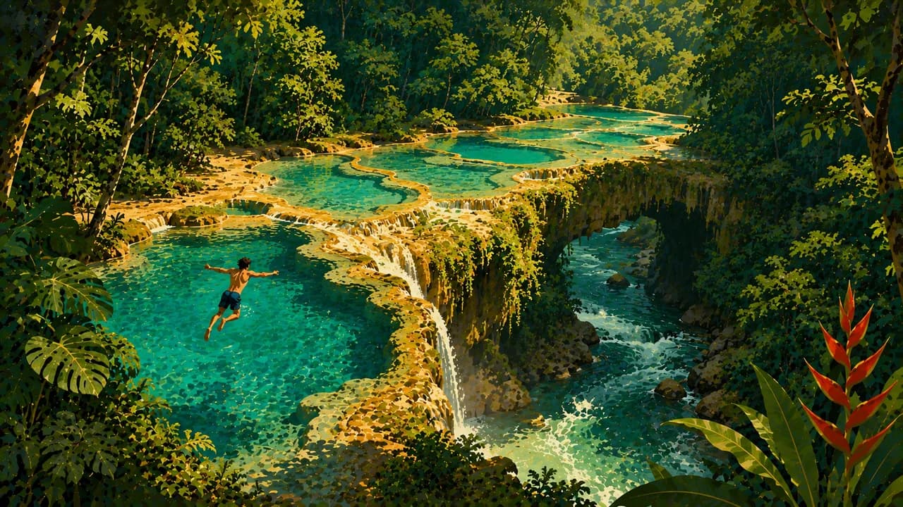
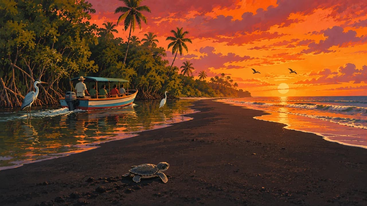
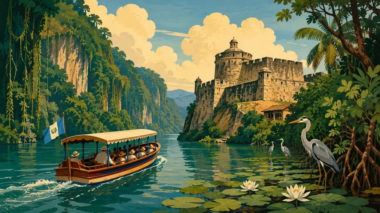
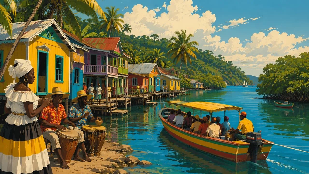
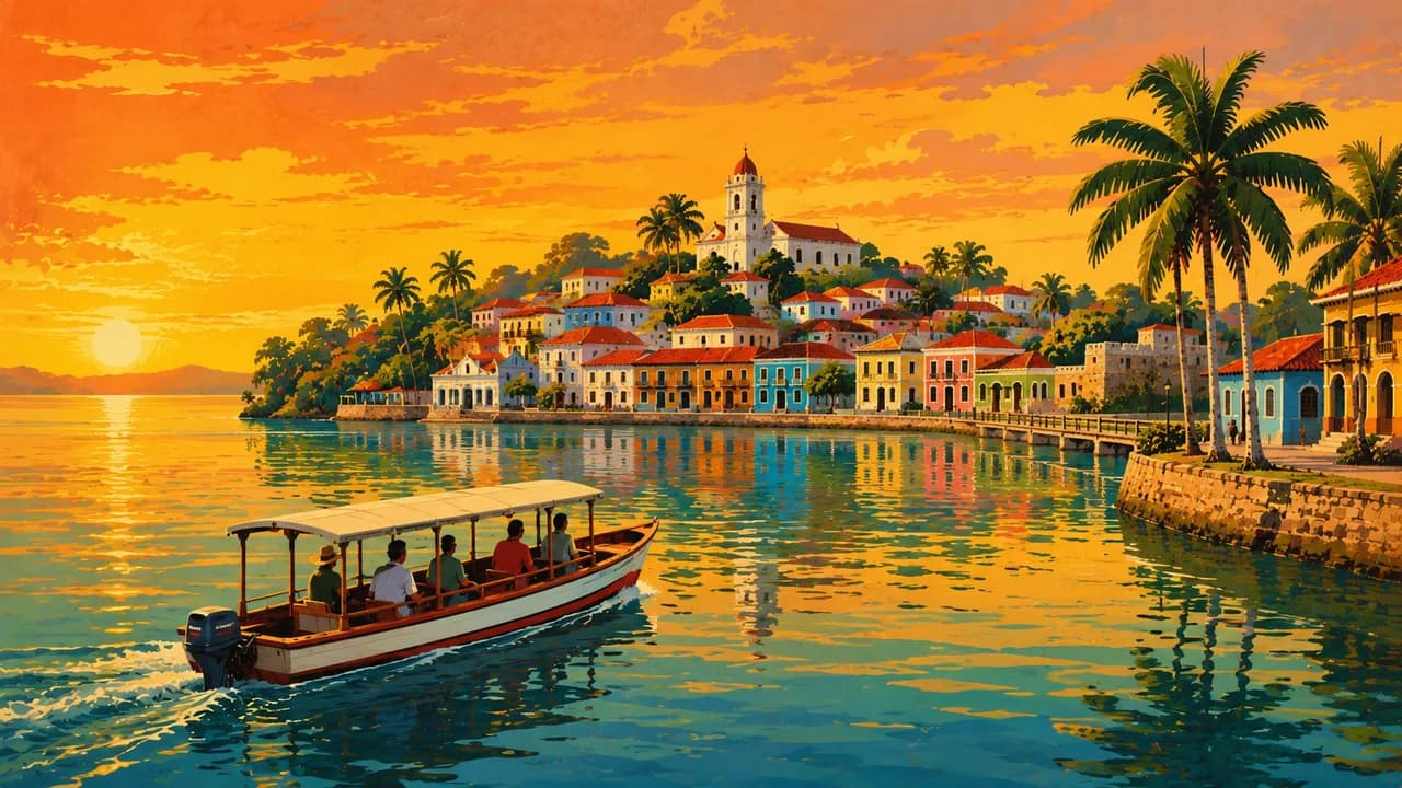
The Verapaces around Cobán include cloud forests, caves and the turquoise limestone pools of Semuc Champey near Lanquín. Río Dulce links Lake Izabal with the Caribbean, passing the Castillo de San Felipe and forested riverbanks. Livingston adds Garifuna language, music and food alongside other local cultures. On the Pacific side, Monterrico combines dark volcanic beaches with mangroves, while El Paredón is associated with surfing.
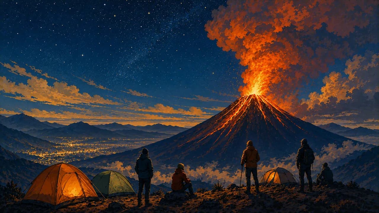
Pepián, kak'ik, tamales, maize, cacao and coffee reflect regional food traditions. Acatenango and Pacaya excursions require qualified guidance, suitable clothing and checks of INSIVUMEH and CONRED restrictions. Nearby Fuego's activity is a hazard, not a promised spectacle. Altitude, volcanic conditions, heavy rain and road disruption can alter plans, while surf beaches do not imply safe swimming. Local encounters reflect community consent and sacred sites, while transport and access differ between regions.
AI edited
- 22
- Administrative departments Guatemala is divided into 22 departments. These administrative units are not equivalent to tourism landscapes.
- ≈ 14.9 million
- Population Rounded from 14,901,286 residents counted by the INE in 2018. A historical census count, not a current population estimate or projection.
- ≈ 109,000 km²
- Area Rounded from the area reference of 108,889 square kilometres. The statistical figure does not endorse territorial claims.
- Spanish
- Language Spanish is the official language. The multilingual country also includes living Maya languages, Garifuna and Xinka.
- Maya languages & others
- Other languages These include K’iche’, Q’eqchi’, Kaqchikel and Mam, alongside Garifuna and Xinka. Maya is not one single language, and usage varies regionally.
- Quetzal (GTQ)
- Currency The currency code is GTQ. Check cash needs, card acceptance and available cash machines before excursions, exchange rates may change.
- A · B
- Socket types Plug types A and B. Confirm voltage, frequency and device compatibility with accommodation. A travel adaptor does not convert voltage.
- Guatemala City
- Capital Ciudad de Guatemala is the capital. Antigua Guatemala is a separate historic city, not the present-day capital.
- Right-hand traffic
- Driving side Traffic drives on the right. Mountain roads, rainfall and disruption can substantially change journey times.
- UTC−6
- Time zone UTC−6 year-round without seasonal clock changes. Differences from your browser and saved home location may change when those places switch clocks.
Guatemala on the map

Map data: geoBoundaries (CC BY 4.0), © OpenStreetMap contributors (ODbL), Natural Earth
Climate and best time to travel
November to April is a drier planning window in many highland and Pacific regions. Transitions vary, and Petén, the Verapaces and Caribbean areas can receive rain even then. Higher elevations bring cool nights, while lowlands are often hot and humid. Calendar labels guarantee neither weather nor access. Before volcano trips, check INSIVUMEH and CONRED advice, permissions, qualified guiding and suitable equipment. Road conditions, water levels and local conservation rules can alter plans.
Destinations in Guatemala
 AI generated
 AI generated
 AI generated
 AI generated
 AI generated
 AI generated
 AI generated
 AI generated
 AI generated
 AI generated
 AI generated
 AI generated