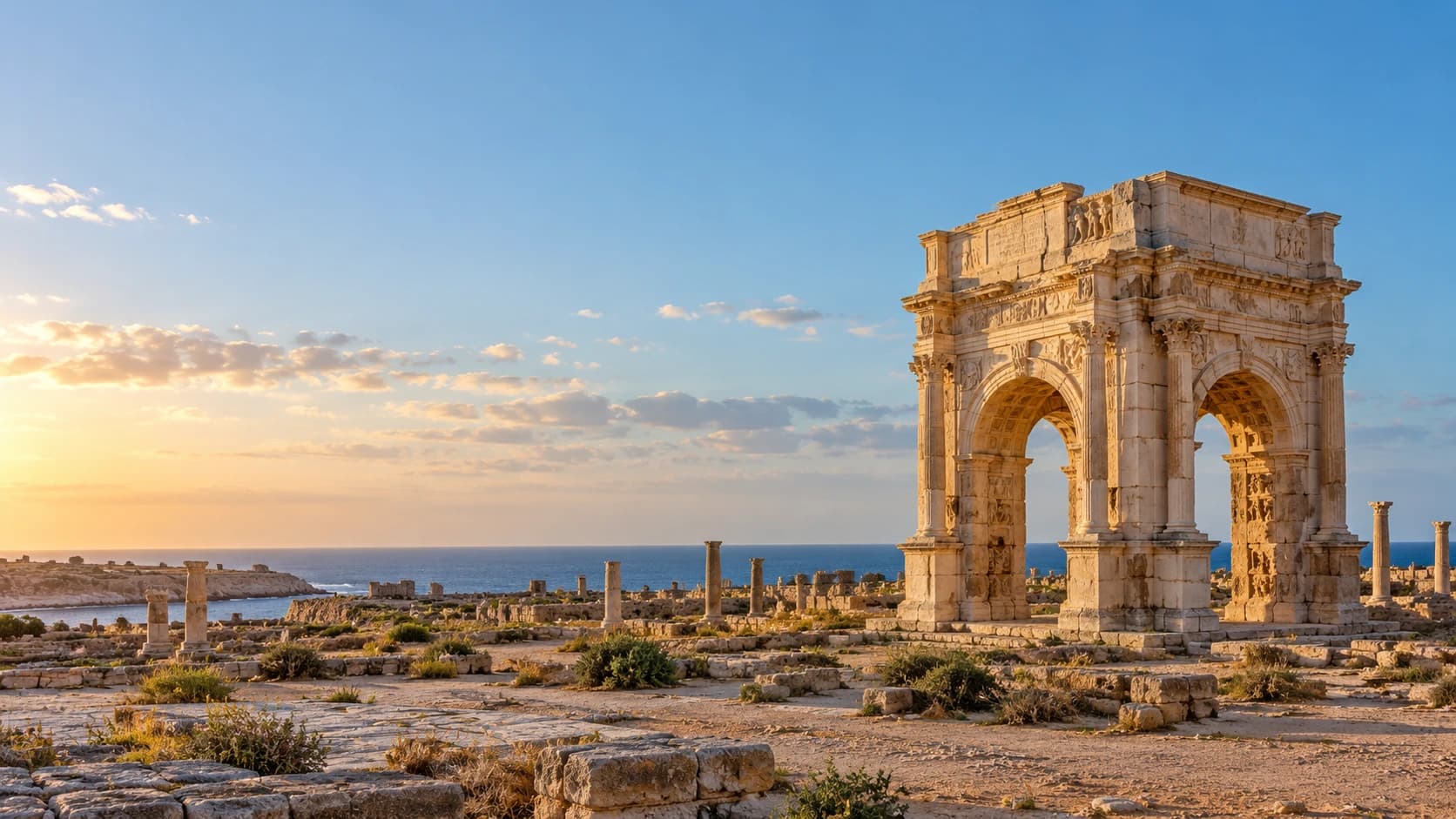
Libya
ليبيا
Ancient coastal cities, mountain traditions and oasis architecture tell stories across vast desert landscapes.
Worth coming back!
Wanderlama keeps growing with new destinations, helpful information and exciting features. Check back soon and discover what is new!
Travel to Libya
Libya stretches from the Mediterranean coast into the Sahara, with the regions of Tripolitania, Cyrenaica and Fezzan shaping its geography and history. Arab, Amazigh and Tuareg traditions form part of its cultural diversity. Germany’s Federal Foreign Office warns against all travel to Libya. The places described here represent the country’s heritage and landscapes, not a recommendation to travel under current conditions.
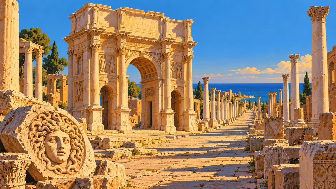
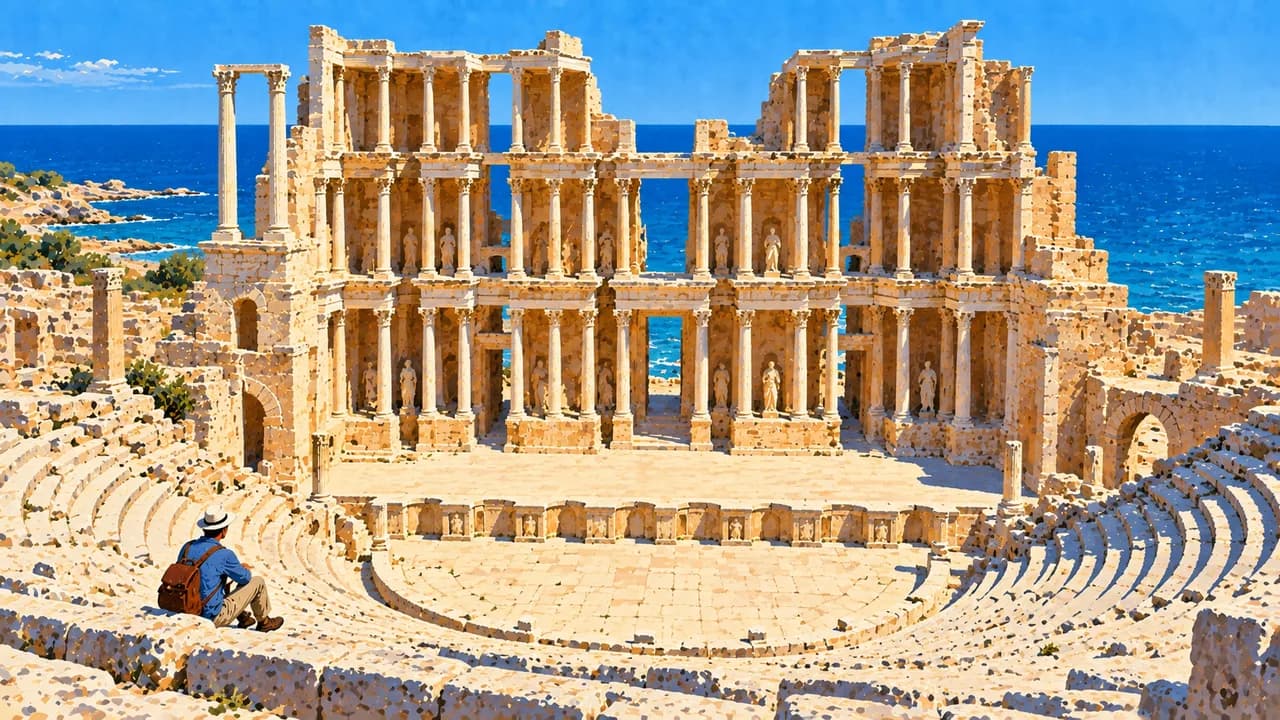
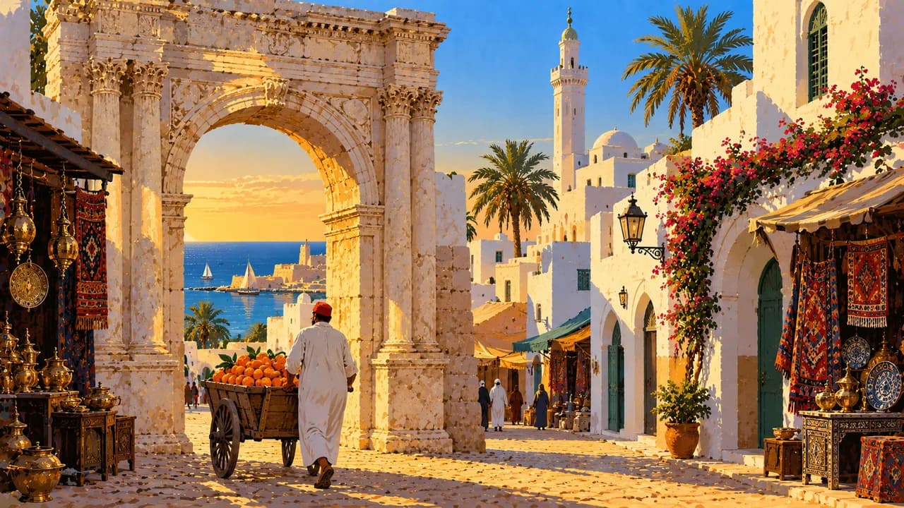
Tripoli combines a walled medina, Ottoman mosques, covered markets and the Red Castle with later Italian architecture. Along the western coast, Sabratha’s theatre and Leptis Magna’s monumental streets, baths and forum reveal different aspects of Roman urban life. Both archaeological sites are UNESCO World Heritage properties.
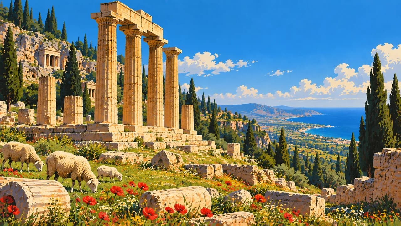
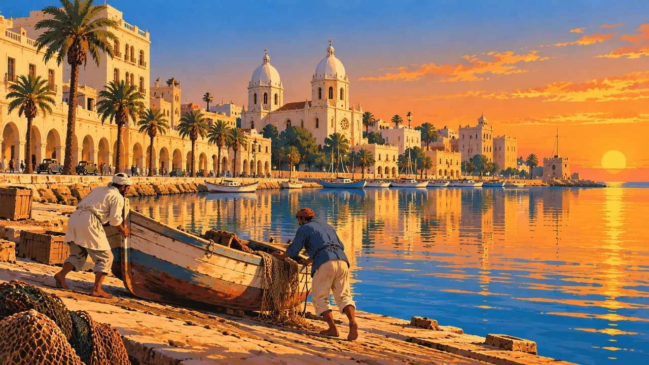
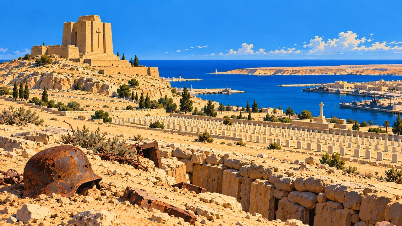
Misrata and Benghazi represent important modern coastal cities. Farther east, the greener uplands of the Jebel Akhdar contrast with the desert interior. Cyrene preserves Greek and Roman heritage, while Apollonia was its ancient seaport. Tobruk’s harbour and war cemeteries recall the North African campaigns of the Second World War.
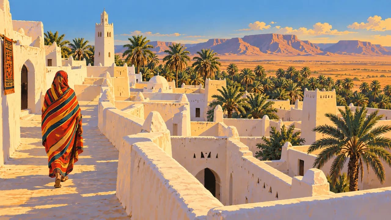
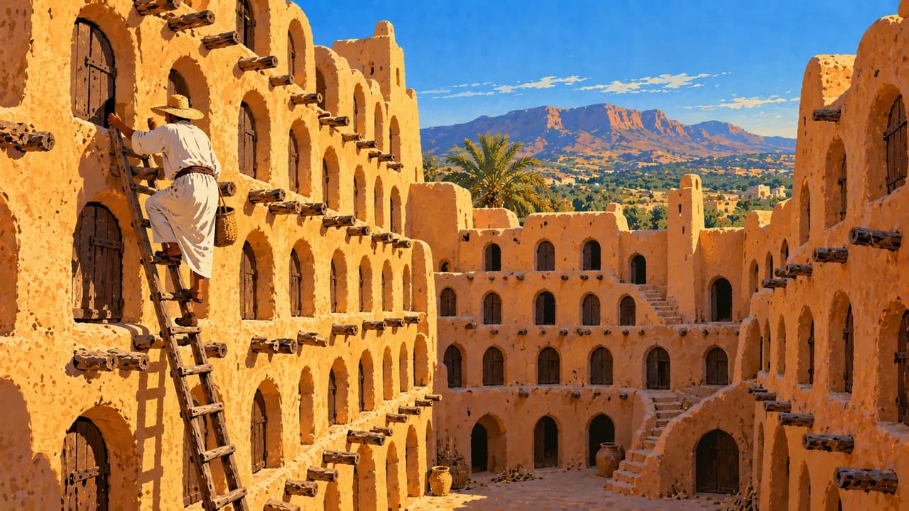
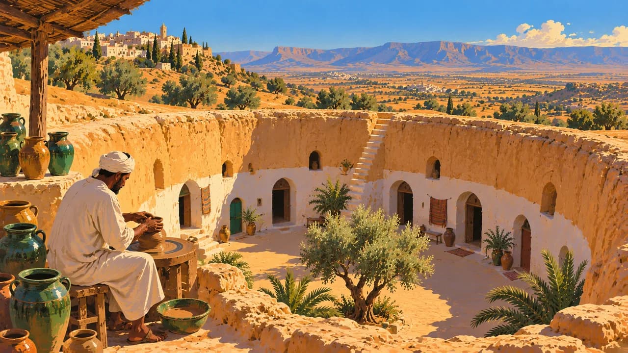
In the Nafusa Mountains, Nalut’s fortified communal granary illustrates Amazigh settlement traditions. Gharyan is associated with pottery and courtyard dwellings excavated below ground. Ghadames has a distinctive oasis old town of covered lanes, earthen houses and roof terraces. Its architecture reflects adaptation to intense heat and community life around scarce water.
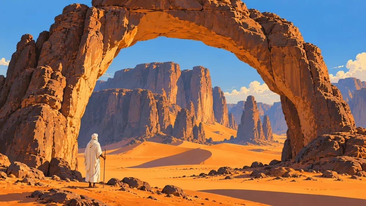
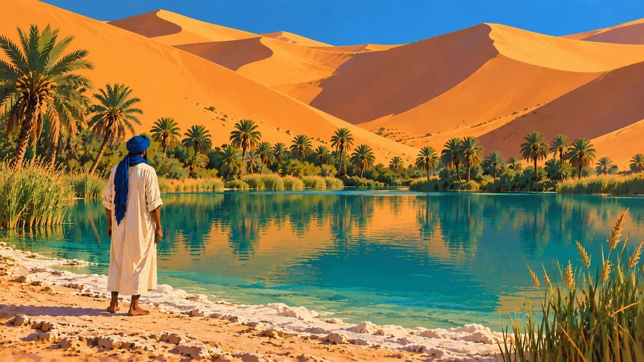
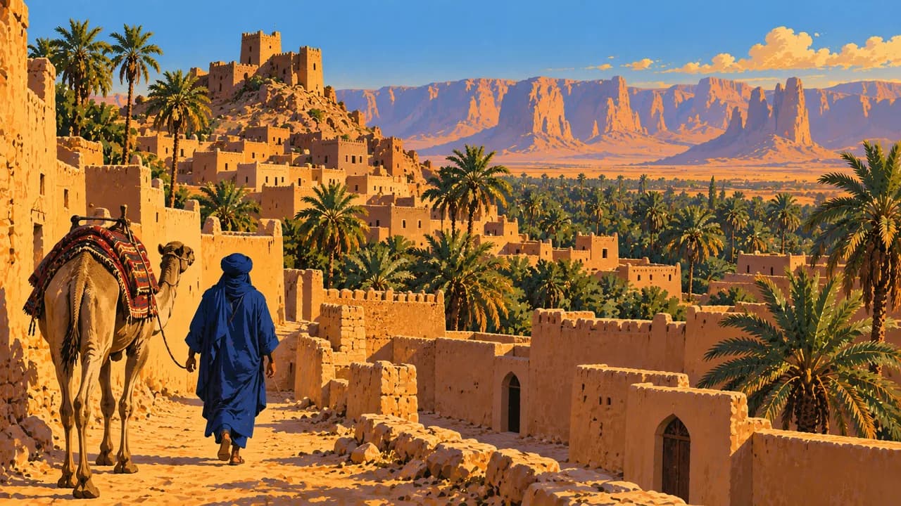
In the southwest, Ghat preserves an oasis and caravan heritage linked to Tuareg communities. Nearby Tadrart Acacus contains prehistoric rock paintings and engravings recording changing Saharan environments. Around Ubari, dune seas and saline lakes form another desert landscape. Fragile archaeological remains and oasis ecosystems require protection rather than assumptions of unrestricted access.
Couscous, bazeen dough with sauce, regional soups and sweet tea add everyday cultural context. Coastal winters are generally milder and wetter than summers, while inland desert heat and cold nights create stronger contrasts. Armed clashes, kidnapping risks, checkpoints and unexploded ordnance make movement dangerous. Access, infrastructure and opening arrangements can change, and consular help cannot be guaranteed.
AI edited
- 3
- Historical regions Tripolitania, Cyrenaica and Fezzan are the three historical regions. This is a geographical and historical grouping, not the number of present-day municipalities or districts.
- ≈ 7.46 million
- Population UN 2025 projected estimate of 7.459 million using the medium-fertility variant. This dated estimate is not a current census count.
- ≈ 1.68 million km²
- Area UN World Statistics Pocketbook 2025 surface-area figure of 1,676,198 km², with a 2023 reference year. The rounded value follows this source.
- Arabic
- Language Arabic is the official language. Libyan Arabic includes regional varieties that differ from written Modern Standard Arabic.
- Amazigh varieties and Tebu
- Other languages Amazigh languages include Nafusi, Ghadames and Tuareg varieties. Tebu languages are also part of the country’s linguistic diversity. Usage varies by community and region.
- Libyan dinar (LYD)
- Currency The national currency is the Libyan dinar, identified by LYD. Cash availability and payment arrangements are affected by local conditions.
- C · F · L
- Socket types Electrical Safety First lists C and L sockets at 230 V, 50 Hz. Other specialist guidance also lists F and notes older L installations. Verify the actual outlet, grounding and appliance compatibility locally.
- Tripoli
- Capital Tripoli is the capital. The page clock shows local time using Africa/Tripoli.
- Right-hand traffic
- Driving side Traffic drives on the right. Armed checkpoints, damaged roads and explosive ordnance make overland movement dangerous. This fact is not a driving recommendation.
- UTC+2
- Time zone Libya uses UTC+2 throughout the year, without seasonal clock changes.
- 5
- UNESCO cultural sites UNESCO lists Cyrene, Leptis Magna, Sabratha, the Old Town of Ghadames and the Rock-Art Sites of Tadrart Acacus as five cultural World Heritage properties. Inscription does not establish safe access or opening arrangements.
Libya on the map

Map data: geoBoundaries (CC BY 4.0), © OpenStreetMap contributors (ODbL), Natural Earth
Climate and best time to travel
Germany’s Federal Foreign Office warns against all travel to Libya. These month windows describe typical climate and do not recommend travel under current conditions. The coast has hot, drier summers and milder, wetter winters. Spring and autumn often bring more moderate temperatures. Uplands can be cold in winter, while the Sahara combines extreme summer heat with potentially cold nights in cooler months. Heavy rain can cause flooding. Armed clashes, kidnapping, checkpoints, explosive ordnance and damaged infrastructure affect access throughout the country. Heritage sites and desert landscapes must not be assumed accessible. Check current official advice rather than treating seasonal conditions as evidence of safety.
Destinations in Libya
 AI generated
 AI generated
 AI generated
 AI generated
 AI generated
 AI generated
 AI generated
 AI generated
 AI generated
 AI generated
 AI generated
 AI generated