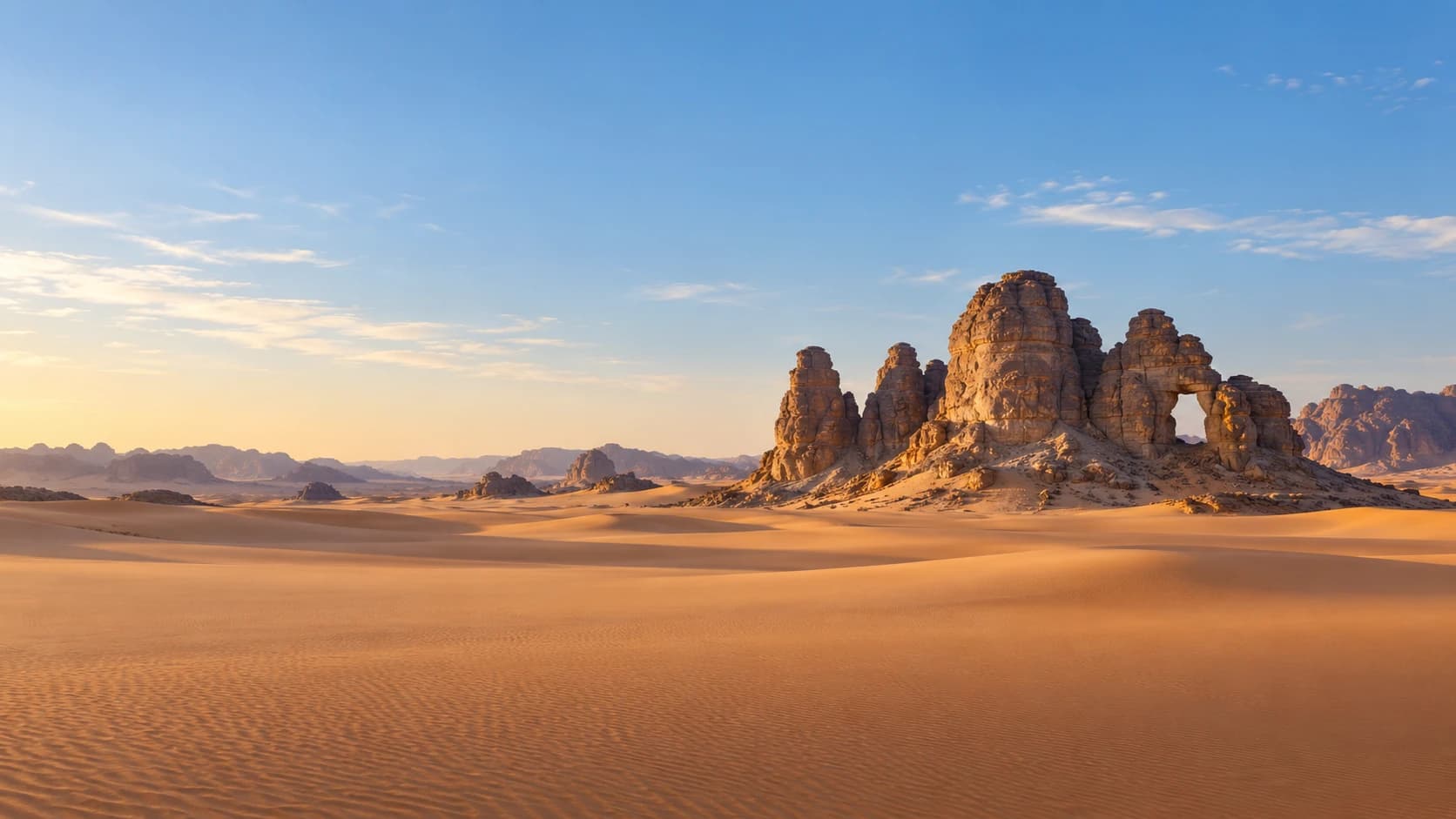
Algeria
الجزائر
White coastal cities, ancient heritage and oasis traditions meet the vast horizons of the desert.
Worth coming back!
Wanderlama keeps growing with new destinations, helpful information and exciting features. Check back soon and discover what is new!
Travel to Algeria
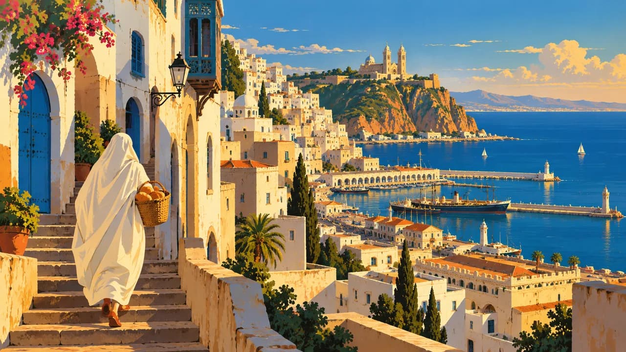
Algeria is Africa’s largest country by area, extending from Mediterranean shores across mountain ranges and high plateaus into the Sahara. Arab and Amazigh cultures, Ottoman heritage and French colonial history shape its cities and everyday life. Algiers combines the lanes of its UNESCO-listed Casbah with waterfront arcades, museums and a busy contemporary capital.
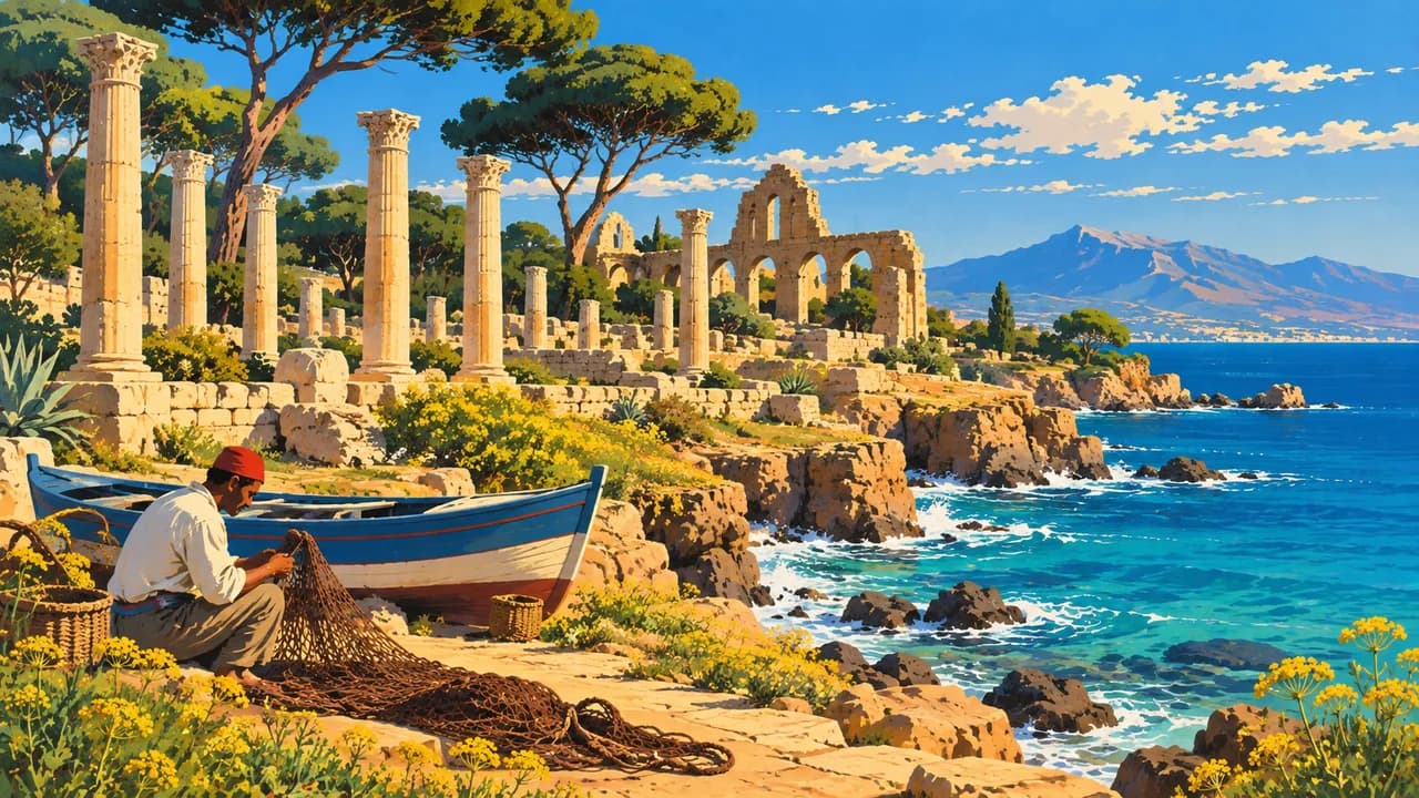
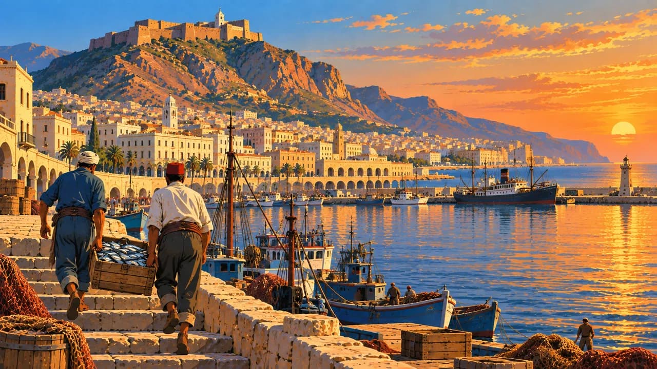
Along the coast, Tipaza brings ancient ruins beside the sea, while Béjaïa introduces the wooded slopes and rocky shores of Kabylia. Annaba links Mediterranean beaches with ancient Hippo Regius. In the west, Oran combines harbour life, historic quarters and raï music, while Tlemcen preserves mosques, craftsmanship and traditions of Andalusian music.
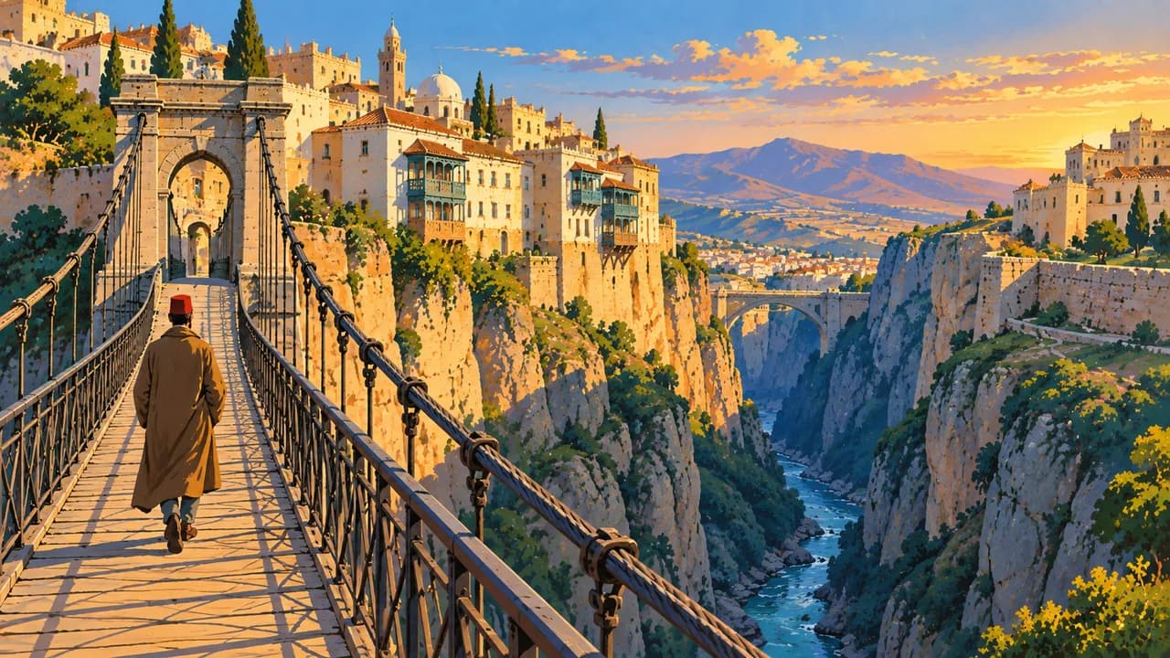
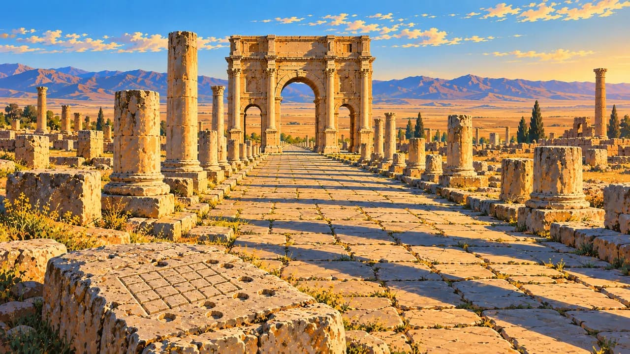
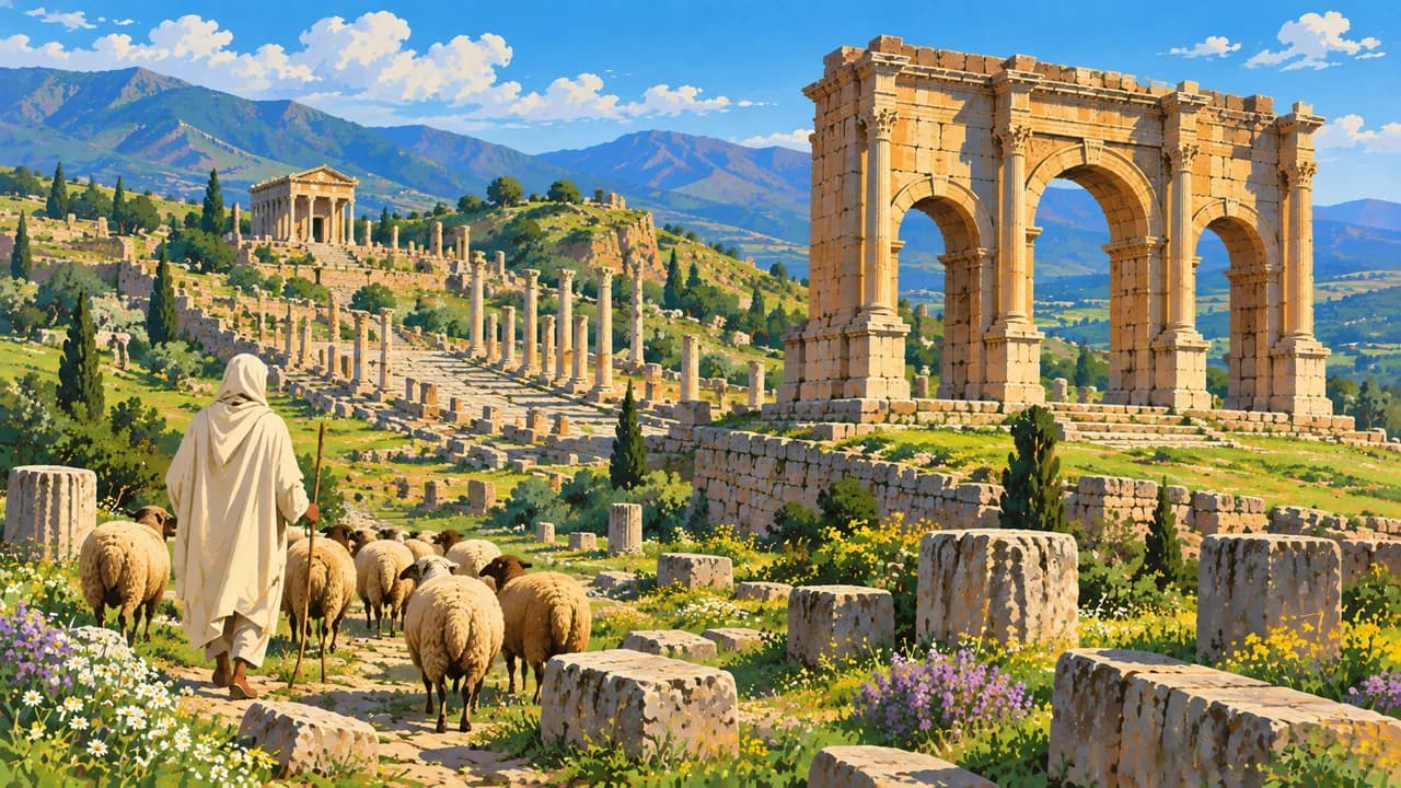
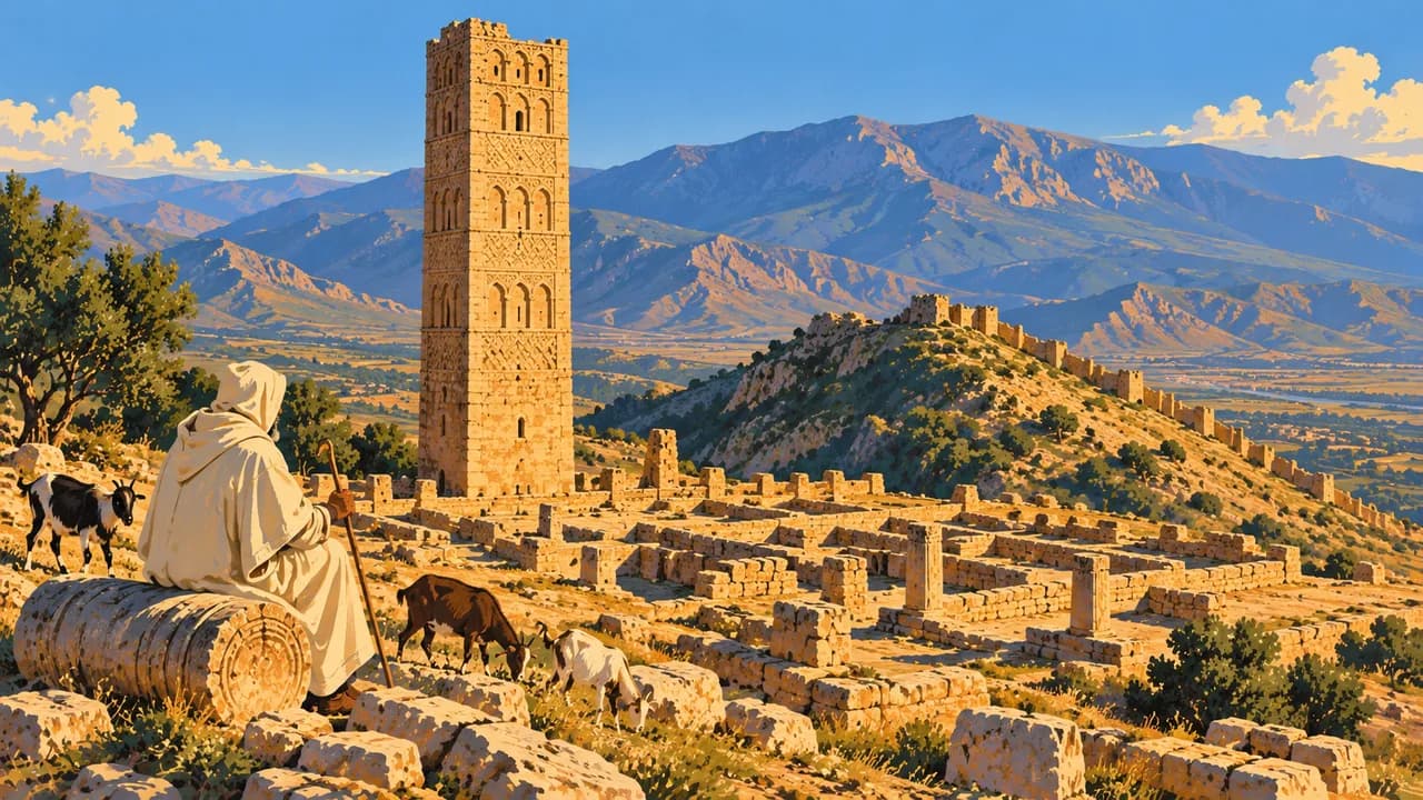
Inland, Constantine spans the deep Rhumel gorge with dramatic bridges. Djémila and Timgad reveal contrasting Roman town plans, temples and theatres. The Beni Hammad Fort recalls a medieval Islamic capital in a mountain setting. Together these places broaden the country’s heritage beyond the capital and desert landscapes.
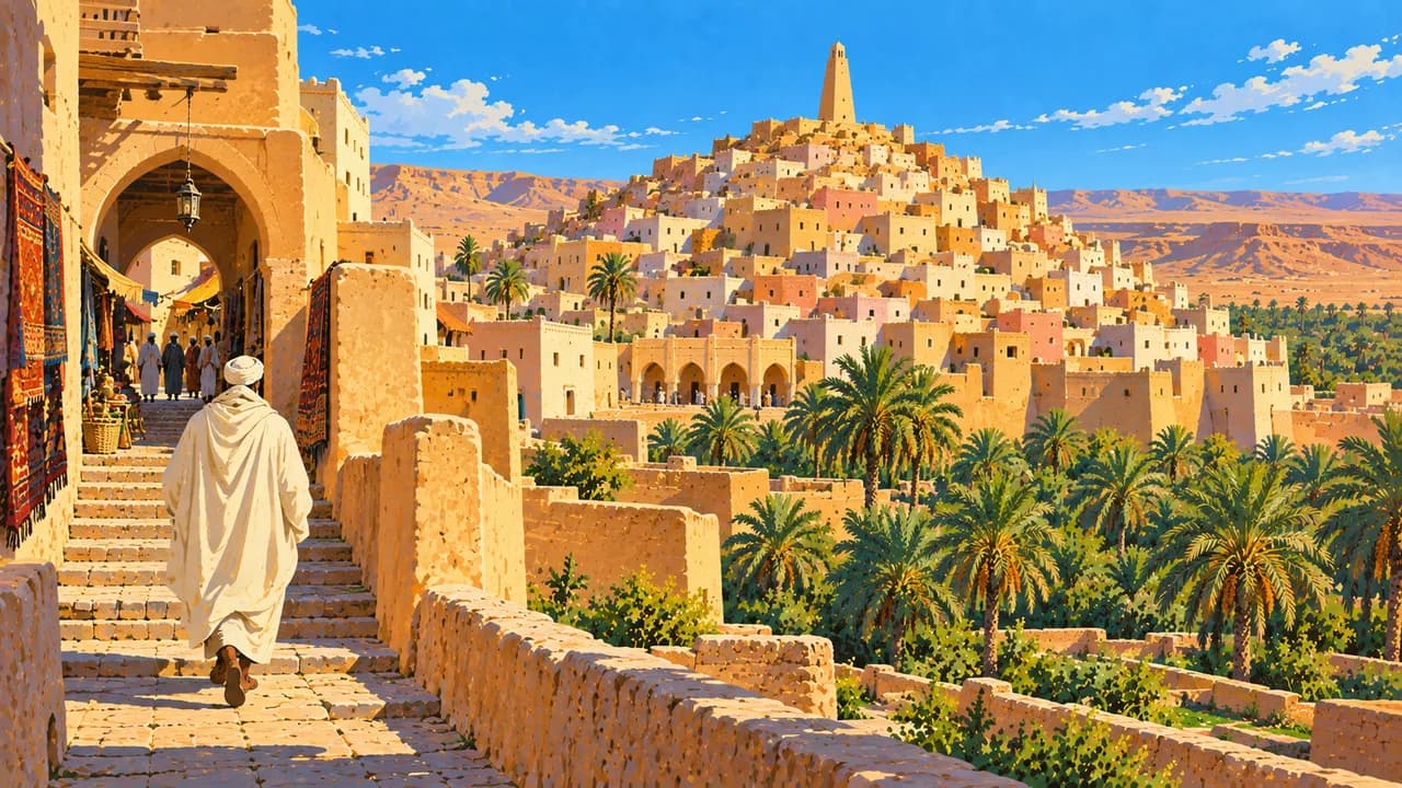
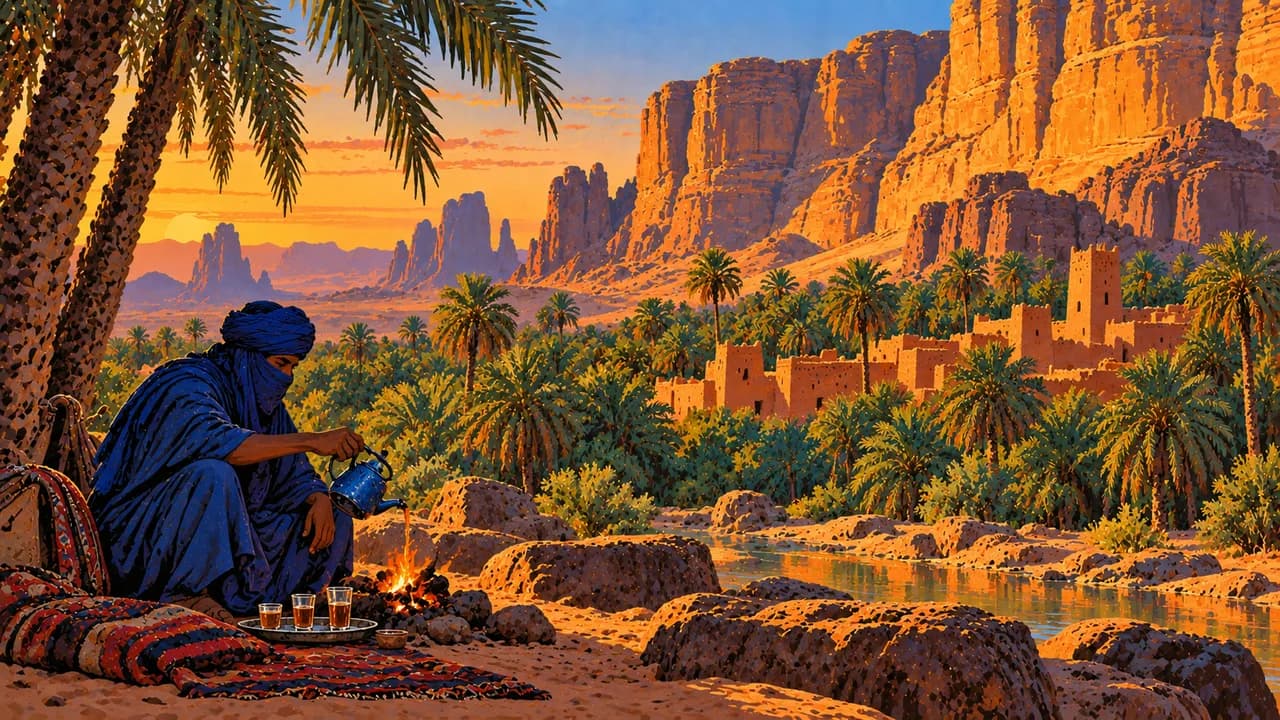
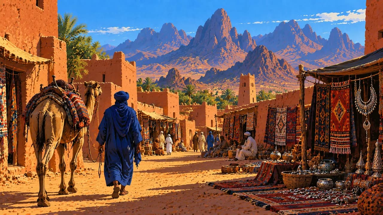
Biskra marks a transition towards palm groves and Saharan landscapes. Ghardaïa belongs to the M’Zab Valley, where fortified settlements reflect Ibadi community traditions and adaptation to desert conditions. Taghit pairs an old settlement with dunes, while Timimoun is associated with red earthen architecture, oasis gardens and the Gourara region.
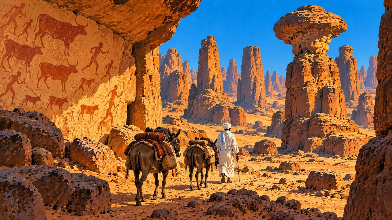
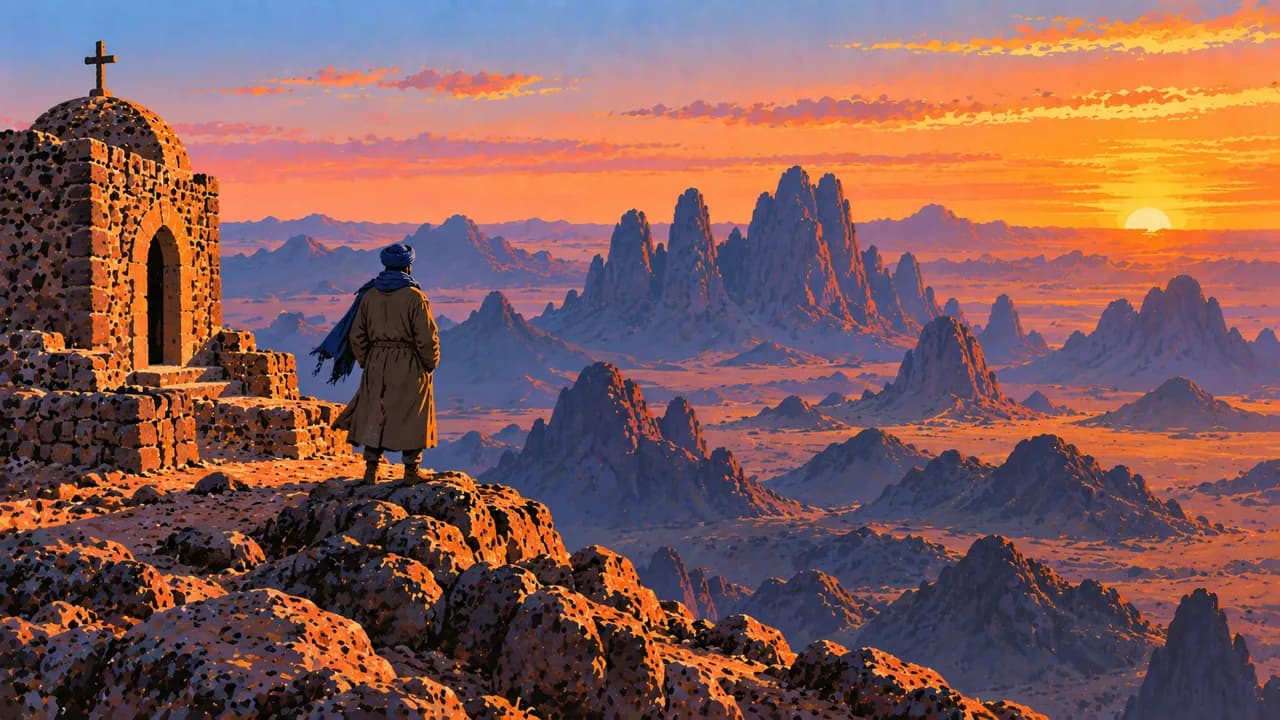
Farther south, Tamanrasset is a gateway to the volcanic Hoggar Mountains and Assekrem’s highland panoramas. Djanet introduces Tuareg culture and the sandstone landscapes of Tassili n’Ajjer, where prehistoric rock art records a changing Sahara. These remote landscapes require careful planning rather than assumptions of unrestricted access.
Regional couscous dishes, chorba soup, dates, pottery and textiles complement the architectural heritage. Spring and autumn often offer milder northern conditions, while the desert has extreme summer heat and potentially cold winter nights. A German partial travel warning covers specified border regions. Official advice also discourages tourist travel elsewhere in the Sahara and rural or mountain travel without police protection in the north. Check current regional advice, permissions and local arrangements before planning excursions.
AI edited
- 69
- Wilayas Law 26-06 of 4 April 2026 sets out 69 wilayas. Older summaries may still show the previous total of 58.
- ≈ 47.4 million
- Population UN 2025 projected estimate of 47.435 million, using the medium-fertility variant. This dated estimate is not a current census count.
- ≈ 2.38 million km²
- Area UN surface area of 2,381,741 km², with a 2023 reference year. Algeria is Africa’s largest country by area.
- Arabic and Tamazight
- Languages Arabic and Tamazight are official languages. Everyday speech includes Algerian Arabic and several Amazigh varieties.
- French and English
- Other languages French is widely used in some professional and everyday contexts. English use varies by generation, place and tourism provider.
- Algerian dinar (DZD)
- Currency The national currency is the Algerian dinar, identified by DZD. Check current cash and payment arrangements with local providers.
- C · F
- Socket types Types C and F sockets, generally 230 V at 50 Hz. Check the appliance label, grounding and adapter compatibility before use.
- Algiers
- Capital Algiers is the capital. The page clock shows local time using Africa/Algiers.
- Right-hand traffic
- Driving side Traffic drives on the right. Checkpoints, road conditions and regional restrictions affect overland journeys.
- UTC+1
- Time zone Algeria uses UTC+1 throughout the year, without seasonal clock changes.
- 6
- UNESCO cultural sites UNESCO lists six cultural World Heritage properties and the mixed cultural/natural property Tassili n’Ajjer. The mixed site is counted separately, giving seven inscriptions in total.
Algeria on the map

Map data: geoBoundaries (CC BY 4.0), © OpenStreetMap contributors (ODbL), Natural Earth
Climate and best time to travel
Spring and autumn often suit northern cities and coastal heritage. Summers are hot and drier, while winters bring more rain to the coast. Inland plateaus and mountains have sharper temperature contrasts, with frost or snow possible at altitude. October to March is a typical cooler desert season, with strong sun and cold nights. The month ranges describe climate, not permission to travel. Germany’s Federal Foreign Office warns against travel to specified border regions and advises against tourist travel elsewhere in the Sahara. It also advises against rural and mountain travel in the north without police protection. Check current regional advice, permissions and local arrangements before choosing routes.
Destinations in Algeria
 AI generated
 AI generated
 AI generated
 AI generated
 AI generated
 AI generated
 AI generated
 AI generated
 AI generated
 AI generated
 AI generated
 AI generated