Sudan
السودان
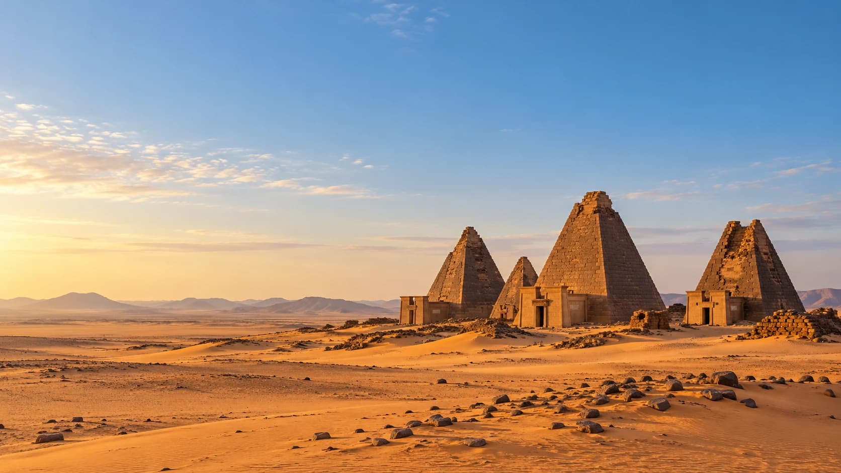
Royal pyramids, river traditions and coral-stone ports reflect a rich heritage between desert and savanna.
Worth coming back!
Wanderlama keeps growing with new destinations, helpful information and exciting features. Check back soon and discover what is new!
Travel to Sudan
Sudan links the Nile Valley, Sahara, eastern mountains and Red Sea coast, with savanna landscapes farther south. Nubian, Arab, Beja and many other communities contribute to its cultural diversity. The war that began in 2023 has devastated lives, infrastructure and heritage. Germany’s Federal Foreign Office warns against all travel and urgently calls on German nationals to leave. This portrait describes the country, not current travel opportunities.
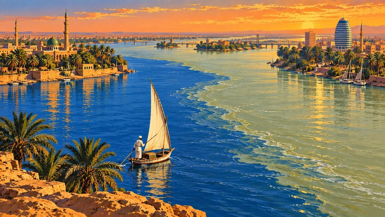
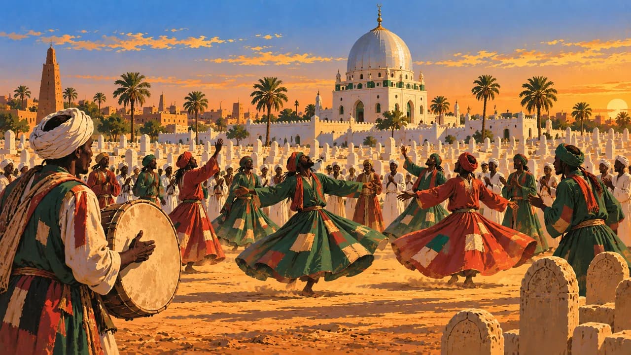
Khartoum stands where the Blue and White Nile meet, opposite Omdurman, a historic centre of trade, religious life and Sudanese music. Their urban heritage extends beyond monuments to neighbourhoods, markets and living traditions. The National Museum has suffered severe damage and looting, and normal visitor access cannot be assumed.
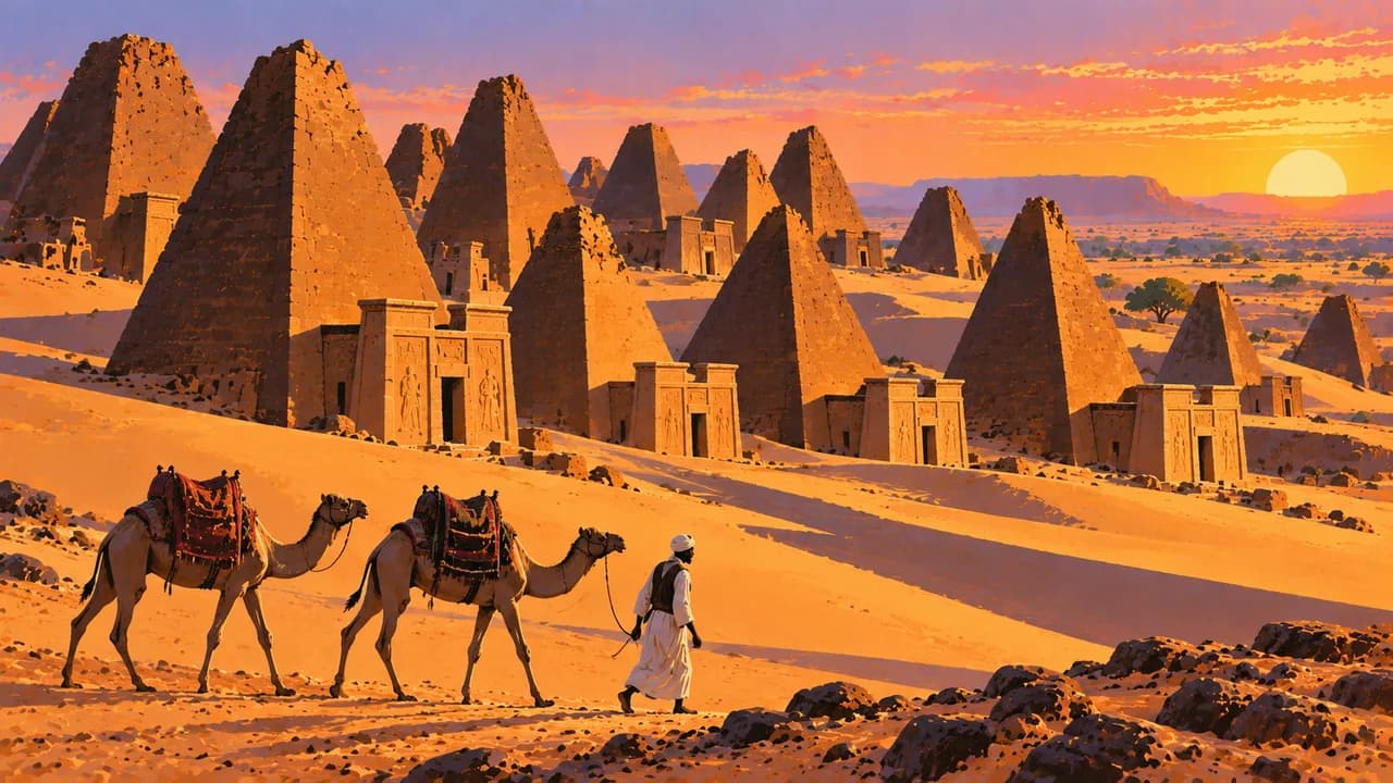
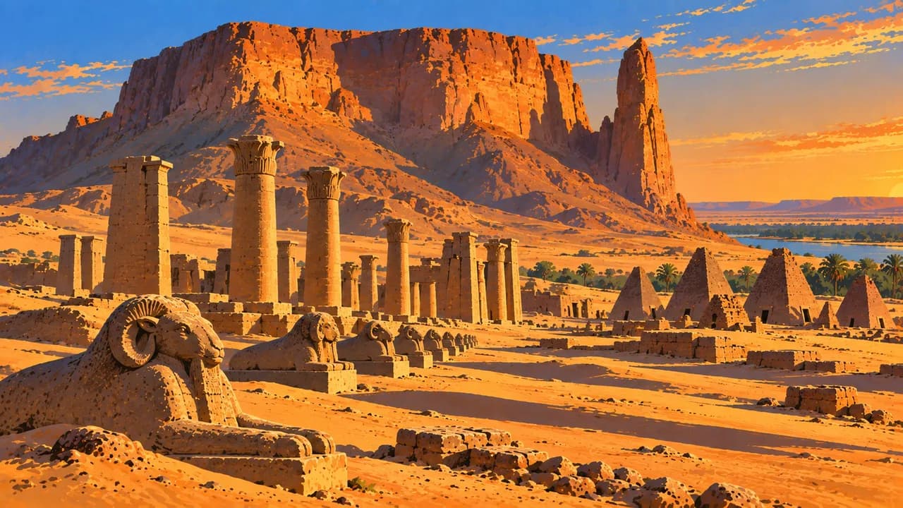
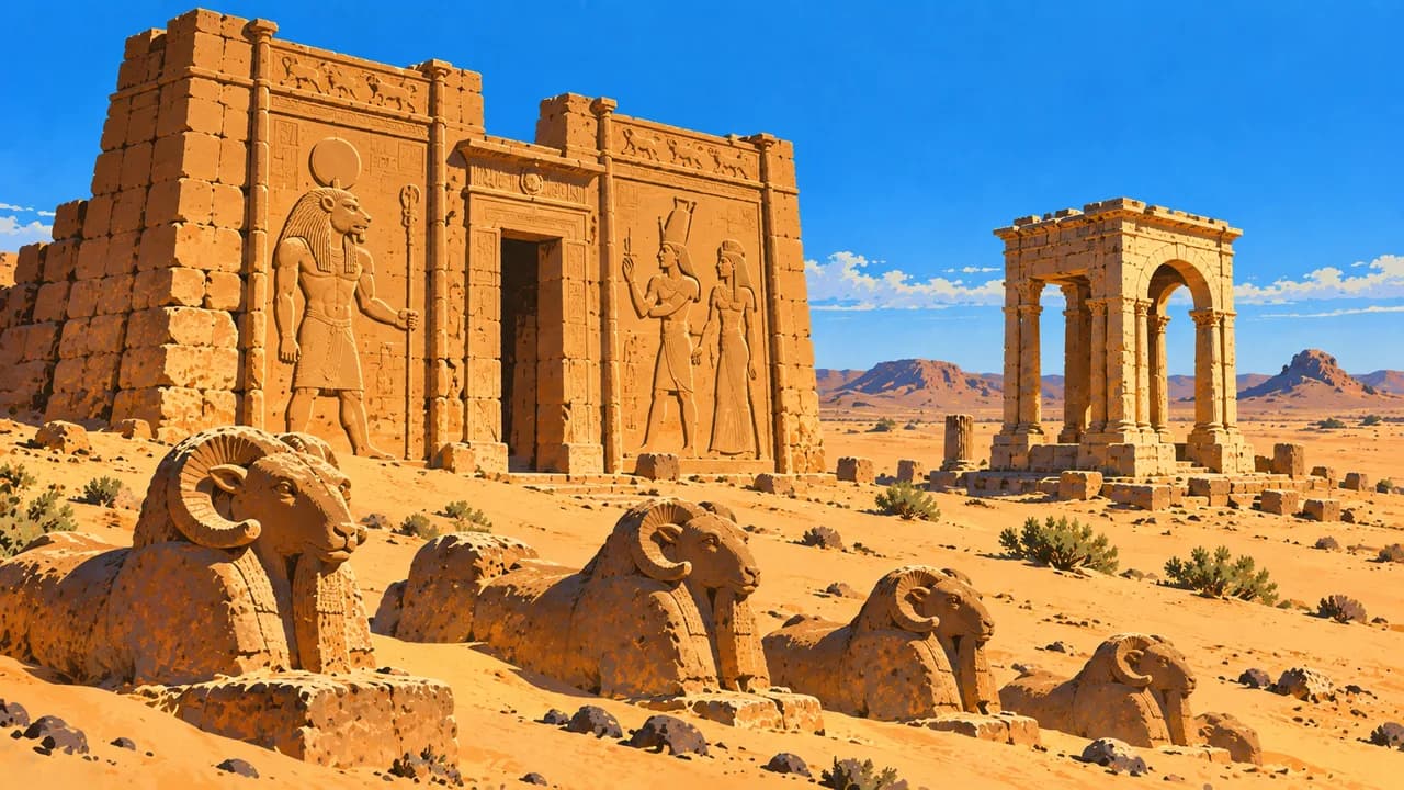
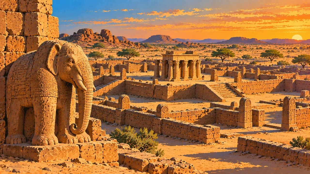
Meroë’s royal pyramids, Naqa’s temples and the monumental complex of Musawwarat es-Sufra illuminate the Kingdom of Kush. These three places form the UNESCO-listed Archaeological Sites of the Island of Meroe, a historical region rather than an island surrounded entirely by water. Near Karima, Jebel Barkal and the royal cemeteries around Nuri represent the Napatan heritage.
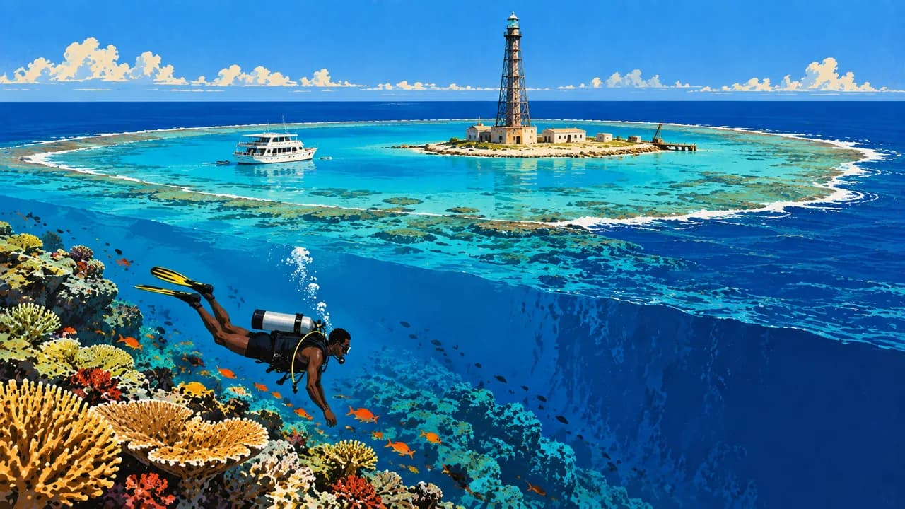
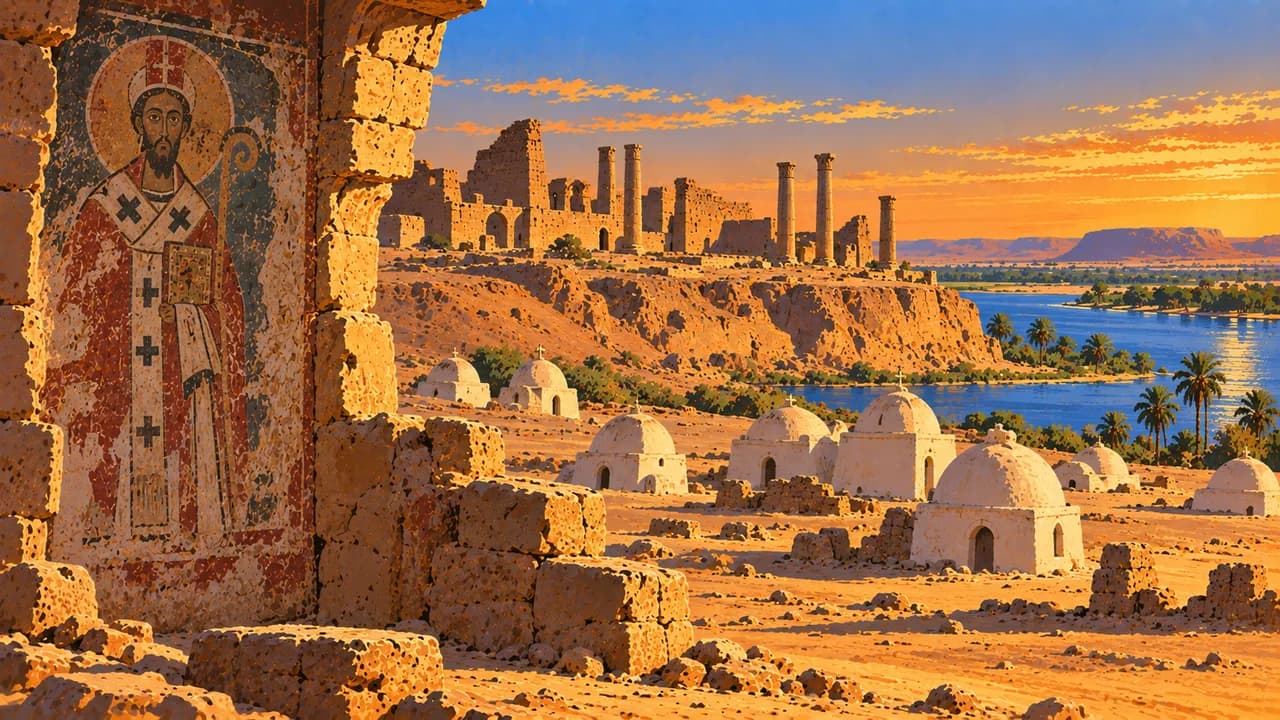
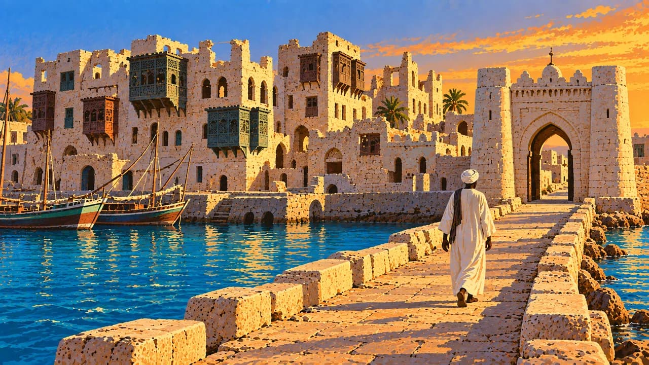
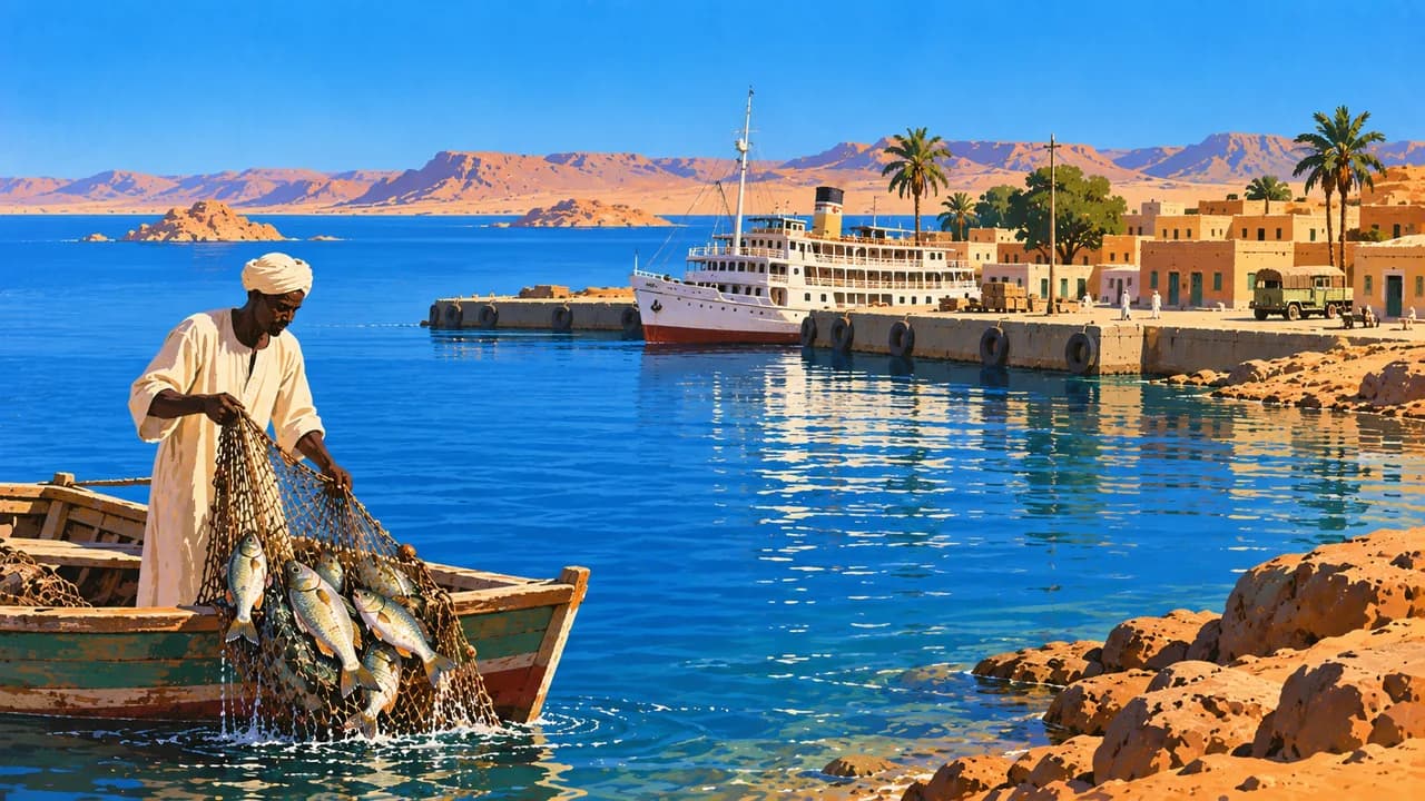
Old Dongola preserves traces of medieval Christian Nubia and later Islamic settlement. Farther north, Wadi Halfa introduces the lake and desert landscapes near Egypt. Along the Red Sea, Port Sudan is an important harbour, while Suakin recalls older maritime trade through its historic coral-stone buildings. Offshore reefs contribute to the country’s natural heritage.
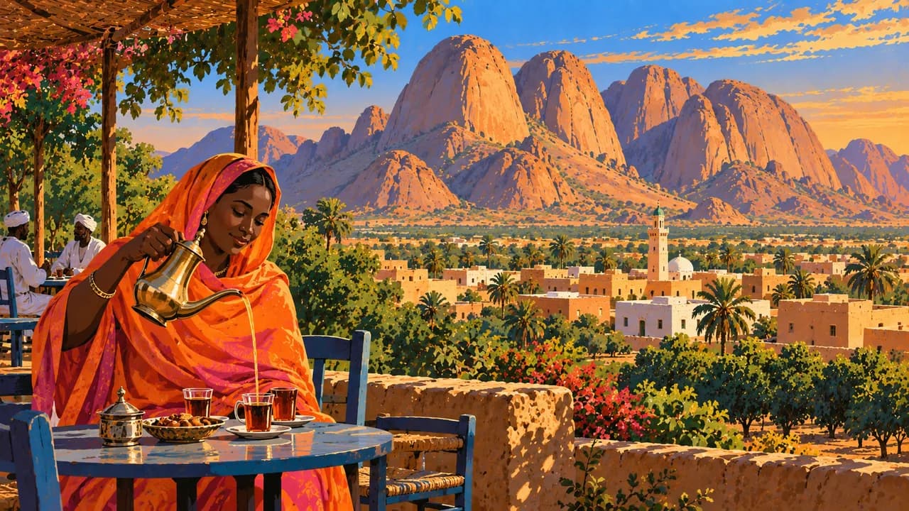
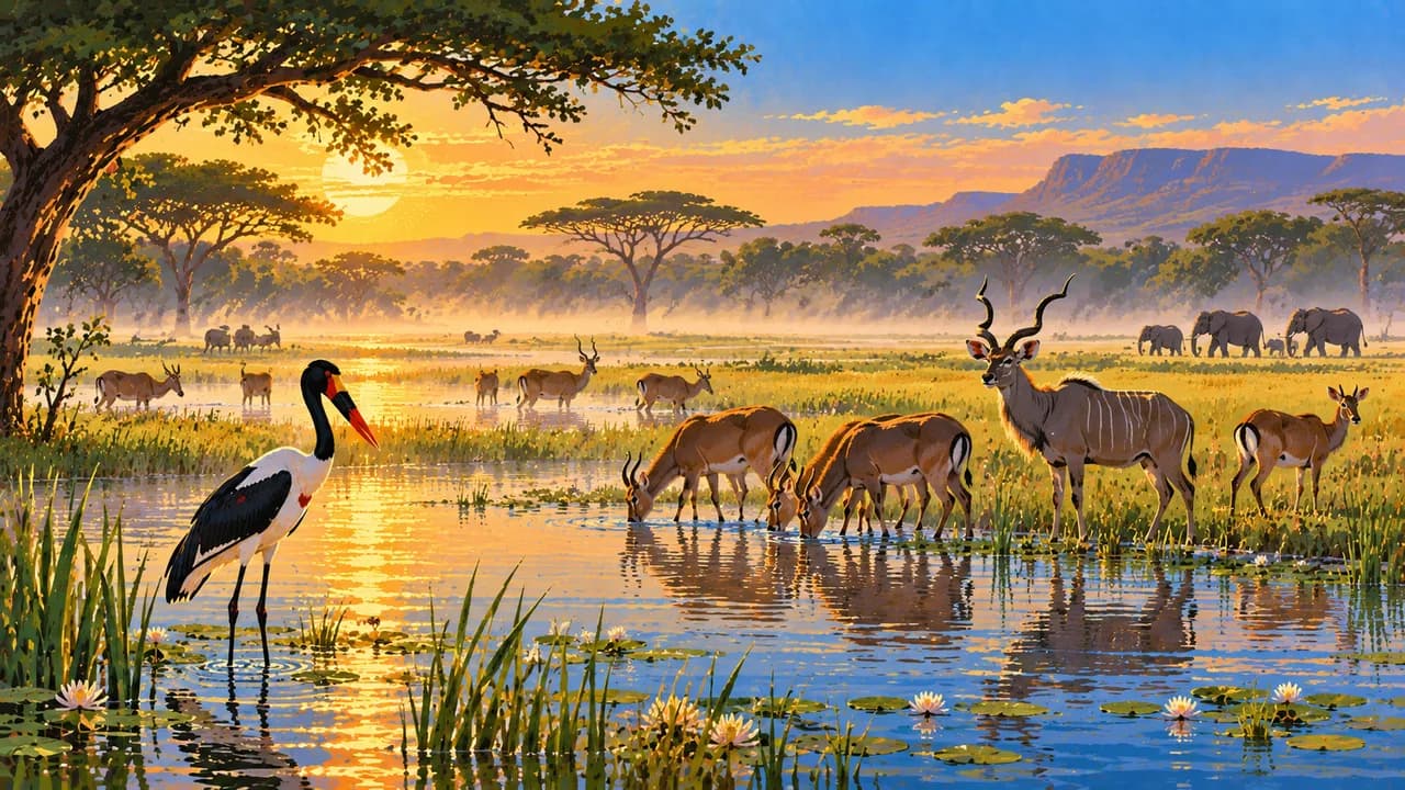
Kassala lies beneath the distinctive Taka Mountains, linking eastern markets and regional traditions with a different landscape from the Nile corridor. Dinder National Park contains savanna, riverine habitats and seasonal wetlands. Neither wildlife sightings nor safe access to protected areas can be assumed under current conditions.
Kisra flatbread, aseeda porridge, stews and hibiscus tea express regional food traditions. Northern deserts are arid, while southern areas have seasonal rain and flooding risks. Extreme heat, conflict, damaged transport links and disrupted services limit movement. Archaeological sites, museums and coastal environments require protection, and suitable weather does not establish a safe travel season.
AI edited
- 18
- States Sudan is conventionally divided into 18 states. This administrative framework does not describe current territorial control or safe access during the war.
- ≈ 51.7 million
- Population UN 2025 projected estimate of 51.662 million, using the medium-fertility variant. This dated projection is not a current census or a count of people presently residing in each region. War and displacement complicate population assessment.
- ≈ 1.89 million km²
- Area Rounded from the Sudanese embassy’s published area of 1,886,068 km² for Sudan after South Sudan’s independence. Area figures differ between sources and boundary conventions.
- Arabic and English
- Languages The UK PCGN factfile identifies Arabic and English as official working languages. Sudanese Arabic and many other languages are used in daily life.
- Nubian, Beja and Fur
- Other languages Nubian languages, Beja and Fur are examples of Sudan’s many community languages. This is not an exhaustive list and use varies by region.
- Sudanese pound (SDG)
- Currency The national currency is the Sudanese pound, identified by SDG. War, inflation and disrupted banking affect cash and payment availability.
- C · D
- Socket types Electrical Safety First lists C and D sockets with a nominal supply of 230 V at 50 Hz. Supply may be disrupted. Check the actual outlet, grounding and appliance compatibility.
- Khartoum
- Capital Khartoum is the capital. The page clock shows local time using Africa/Khartoum. The capital designation does not indicate current access or functioning services.
- Right-hand traffic
- Driving side Traffic drives on the right. Conflict, checkpoints, mines and damaged roads make movement dangerous. This fact is not a recommendation to drive.
- UTC+2
- Time zone Sudan uses UTC+2 throughout the year, without seasonal clock changes.
- 2
- UNESCO cultural sites UNESCO lists two cultural properties, the Archaeological Sites of the Island of Meroe and Gebel Barkal and the Sites of the Napatan Region. The Red Sea marine parks are natural heritage.
Sudan on the map

Map data: geoBoundaries (CC BY 4.0), © OpenStreetMap contributors (ODbL), Natural Earth
Climate and best time to travel
Germany’s Federal Foreign Office warns against all travel to Sudan and urgently calls on German nationals to leave. Month ranges below describe typical climate, not current travel opportunities. Northern deserts and Nile sites are often less hot from November to March, though nights can be cool. Eastern uplands and the Red Sea coast have distinct local conditions. Farther south, seasonal rainfall affects savanna and river habitats. Extreme heat, sandstorms and heavy rain can disrupt conditions, while flooding can damage roads and settlements. War, mines, damaged infrastructure and disrupted services make access unpredictable. Weather, a permit or a heritage designation does not establish safety. Check current official advice rather than treating these cards as route recommendations.