Western Sahara
الصحراء الغربية
Ocean winds, lagoons and desert landscapes meet a living Sahrawi cultural heritage.
Worth coming back!
Wanderlama keeps growing with new destinations, helpful information and exciting features. Check back soon and discover what is new!
Travel to Western Sahara
Western Sahara is a disputed territory on northwest Africa’s Atlantic coast, listed by the United Nations as a Non-Self-Governing Territory. Morocco controls most of it, including Dakhla and Laayoune. The Polisario Front seeks independence, and the political status remains unresolved. Former Spanish colonial rule and Sahrawi identity are important to understanding the region.
Germany’s Federal Foreign Office strongly advises against travel to Western Sahara and states that German consular assistance is unavailable there. Mines and unexploded ordnance threaten areas away from paved roads, particularly towards Mauritania. The separating sand berm is a restricted area. The landscapes described here do not imply safe access, and current official advice takes precedence over tourism promotion.
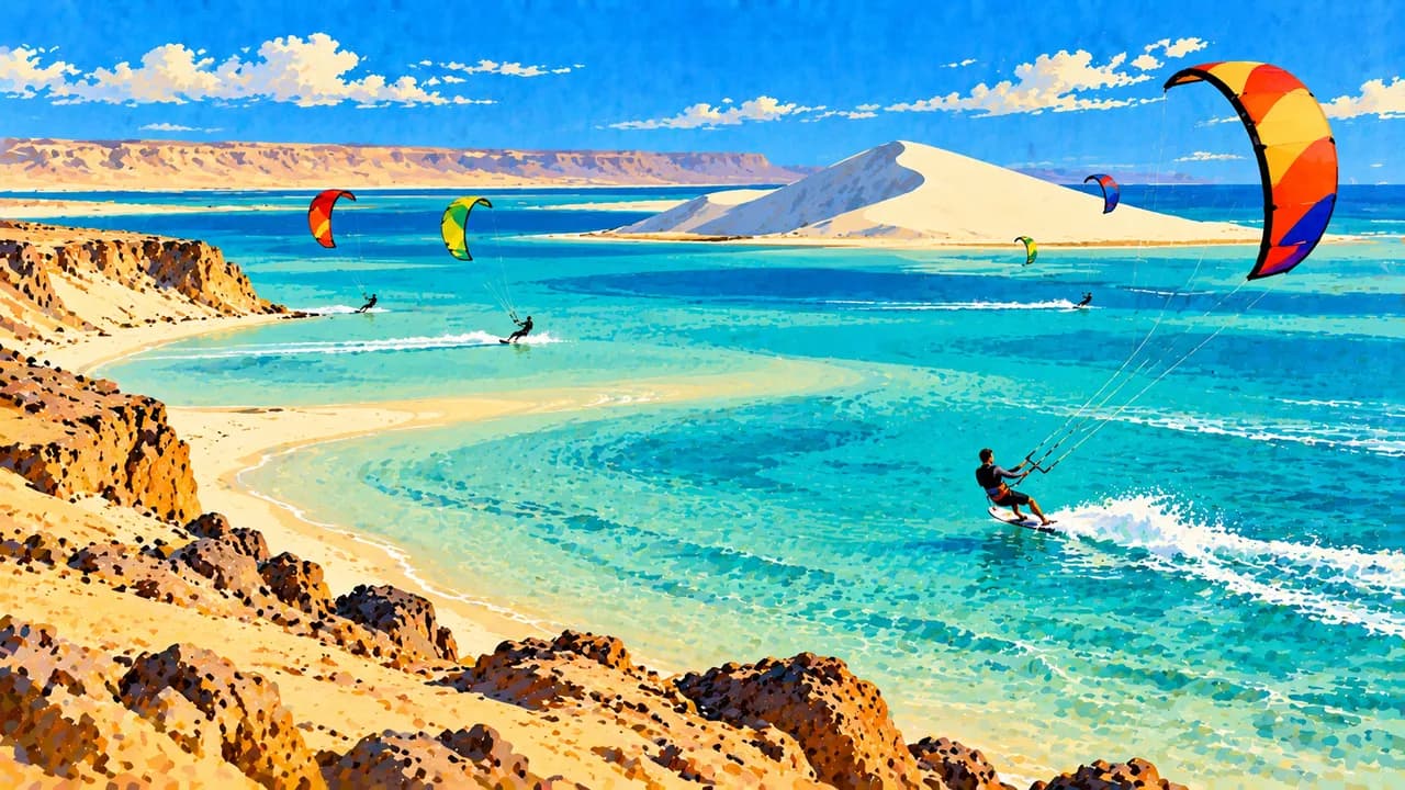
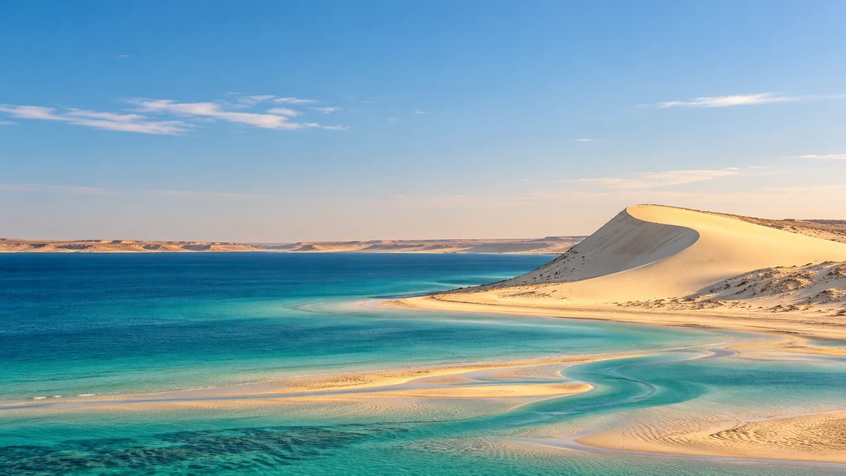
Dakhla occupies a narrow peninsula between the Atlantic and a shallow lagoon. Winds have encouraged kitesurfing and windsurfing, while tidal flats and the Dune Blanche distinguish the surrounding landscape. Seabirds and migratory birds use the coastal wetlands, although sightings vary. Fishing and oyster farming add an everyday economic dimension beyond the watersports camps.
Laayoune, the largest city, stands near the Saqia al-Hamra valley inland from the coast. Broad avenues, markets and the surviving Spanish-era cathedral reflect different layers of urban history. Foum El Oued connects the city’s surroundings with Atlantic beaches and dunes. Inland landscapes include rocky desert and dry valleys as well as sand.
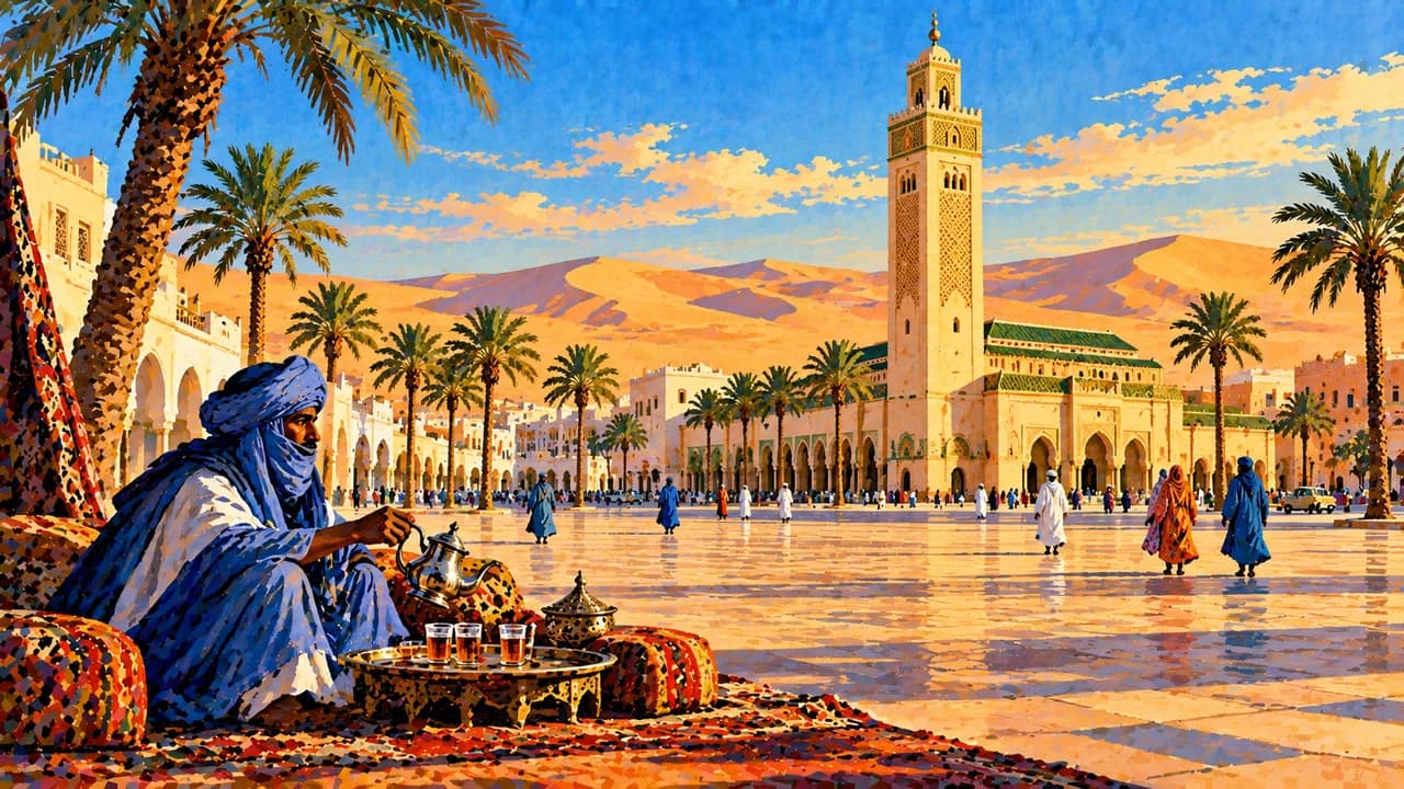
Sahrawi culture includes Hassaniya Arabic, oral poetry, music and traditions shaped by pastoral life. Contemporary urban communities should not be reduced to a nomadic stereotype. Tea preparation is an important social practice. Fish, seafood and Dakhla’s oysters complement broader regional food traditions. Ask permission before photographing people or entering private spaces.
Ocean winds can moderate coastal temperatures, while inland heat, dust and cold nights require different preparation. Sea conditions, wind strength and tides vary. Seasonal appeal does not remove security restrictions or the need to check current conditions.
AI edited
- Disputed territory
- Political status The UN lists Western Sahara as a Non-Self-Governing Territory. Morocco controls most of the territory. The Polisario Front seeks independence. Administrative divisions and territorial control do not settle sovereignty.
- ≈ 601,000
- Population UN World Statistics Pocketbook 2025 projected estimate, medium-fertility variant. This is a dated statistical estimate for the territory, not a census or a count of all Sahrawis worldwide.
- 266,000 km²
- Area UN surface-area figure, with a 2023 reference year, covering the former Saguia el Hamra and Rio de Oro regions. The statistical extent does not imply a position on sovereignty.
- Hassaniya Arabic
- Language Hassaniya Arabic is an important language of Sahrawi cultural life. This tile describes language use, not an agreed territory-wide official-language settlement.
- Arabic, French and Spanish
- Other languages Other Arabic varieties, French and Spanish occur in different administrative, educational and historical contexts. Their use varies between communities and institutions.
- Moroccan dirham (MAD)
- Currency UN statistics list the Moroccan dirham. It is used in the Moroccan-controlled towns of Dakhla and Laayoune. This practical information does not establish sovereignty or uniform services across the territory.
- C · E
- Socket types C and E sockets are reported for Western Sahara, generally 230 V at 50 Hz. Supply and installations vary. Confirm voltage, grounding and appliance compatibility locally.
- Laayoune
- Largest city Laayoune, also El Aaiún, is the largest city. The UN statistical table lists it as capital, but the territory’s status is unresolved. This page therefore uses the neutral label largest city.
- Right-hand traffic
- Driving side Traffic in the Moroccan-controlled coastal towns drives on the right. This does not imply safe road access. Mines, restrictions and current official travel advice remain decisive.
- UTC+0
- Time zone Laayoune and the Moroccan-administered coastal towns use GMT, UTC+0, since returning to permanent GMT on 20 September 2026. The UTC+1 system with a Ramadan exception has ended. The clock uses Etc/GMT because some time-zone databases keep older rules. Uniform practice in all controlled areas is not asserted.
Western Sahara on the map

Map data: geoBoundaries (CC BY 4.0), © OpenStreetMap contributors (ODbL), Natural Earth
Climate and best time to travel
Germany’s Federal Foreign Office strongly advises against travel to Western Sahara and states that German consular assistance is unavailable there. Mines and unexploded ordnance threaten areas away from paved roads, especially towards Mauritania, and the separating berm is restricted. The month windows below describe typical climate and activities, not safe access or travel recommendations. Atlantic winds can moderate coastal temperatures, while inland heat, dust and cold nights create different conditions. Dakhla’s wind season often strengthens from spring into autumn, while cooler months can suit urban visits and migratory-bird observation. Sea conditions, tides, wind and wildlife sightings vary. Check current official advice and local restrictions before any planning.