British Virgin Islands
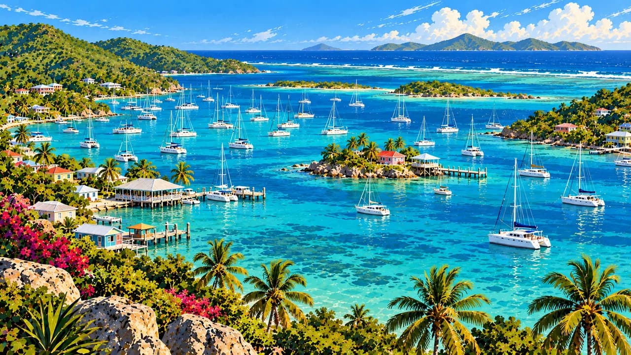
Island passages, sheltered harbours and boulder-lined shores meet forest trails, salt ponds and living seafaring culture.
Worth coming back!
Wanderlama keeps growing with new destinations, helpful information and exciting features. Check back soon and discover what is new!
Travel to the British Virgin Islands
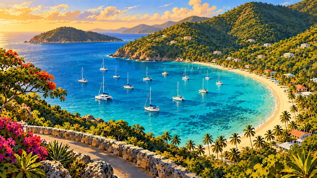
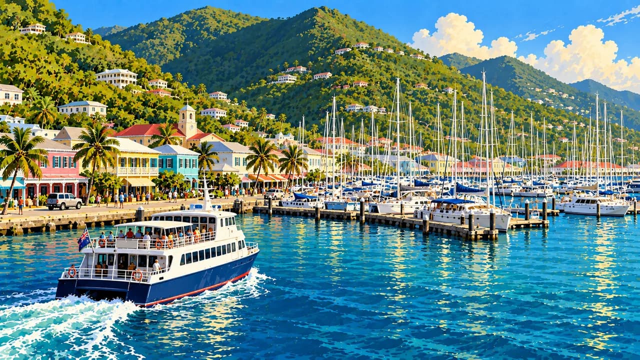
The British Virgin Islands are a British Overseas Territory in the Caribbean, distinct from the neighbouring US Virgin Islands. Tortola, Virgin Gorda, Anegada and Jost Van Dyke are the main islands, alongside smaller islands and cays. Road Town on Tortola combines a working harbour, historic streets and the J.R. O'Neal Botanic Gardens. Cane Garden Bay offers a contrasting coastal setting, while Sage Mountain has forest trails inland.
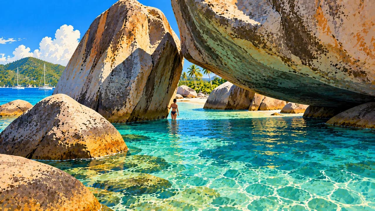
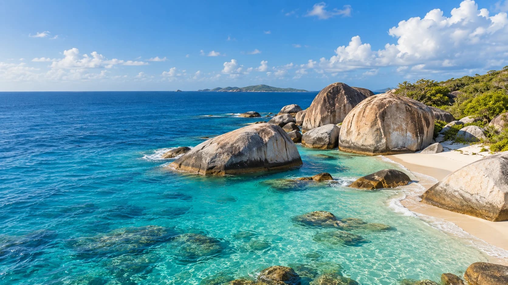
On Virgin Gorda, The Baths forms a landscape of enormous rounded boulders, passages and coastal pools near Devil's Bay. Gorda Peak adds wooded uplands, while the Copper Mine ruins recall industrial heritage. North Sound is a separate setting for sailing and island transfers. These places are not interchangeable beach stops, and access to the boulder trail and water depends on conditions.
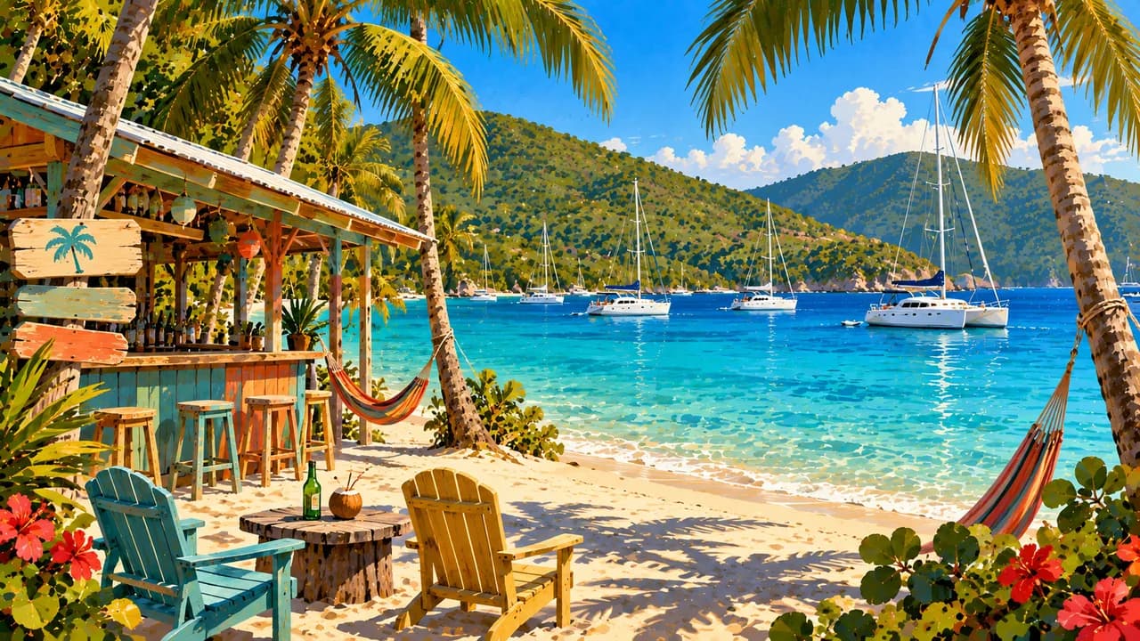
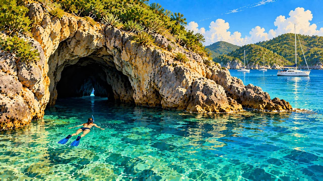
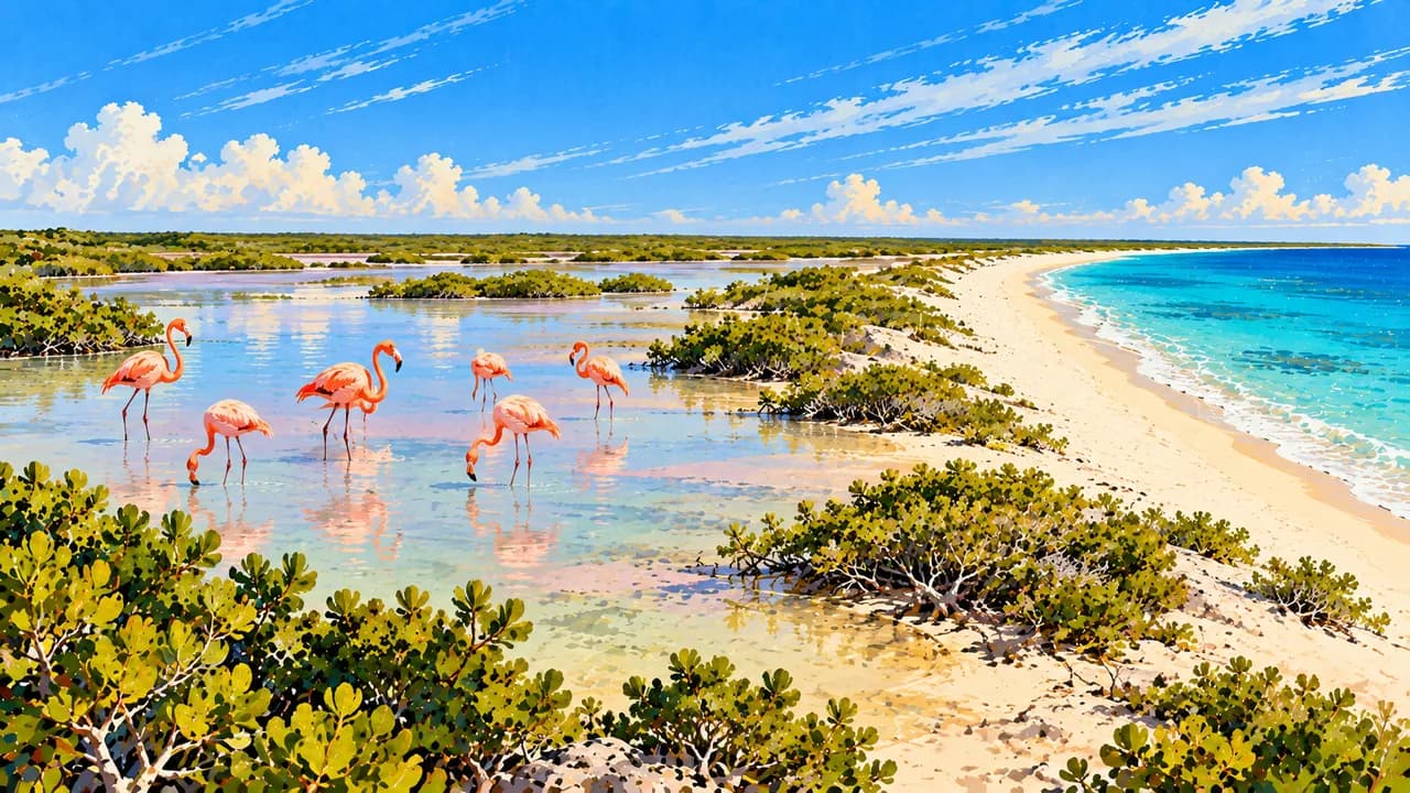
Jost Van Dyke combines Great Harbour's seafaring communities with White Bay's sandy shore and beach-bar culture. Norman Island's sea caves and nearby rocky islets attract snorkellers, while the RMS Rhone wreck off Salt Island is a distinct diving site. Anegada contrasts with the hillier islands through its low coral-and-limestone terrain, Horseshoe Reef and salt ponds. Reintroduced flamingos and endangered rock iguanas highlight its conservation importance.
Island history includes Indigenous settlement, colonial plantations, enslaved Africans and the struggle for emancipation, not only yacht harbours and rum distilleries. Fungi bands preserve musical storytelling, while the Emancipation Festival, local arts and village life express living Afro-Caribbean culture. Fish and fungi, a cornmeal accompaniment, join johnnycakes and seafood in local cooking. Anegada's lobster traditions add another island flavour.
Plan ferry and flight connections separately, including border formalities when arriving from the US Virgin Islands. Wind, swell and storm forecasts can change sailing, diving and beach plans. Follow park flags, local guidance and mooring rules, and never touch coral or disturb wildlife. Check trail conditions and seasonal services rather than assuming every island is easily reached.
AI edited
- UK territory
- Political status The British Virgin Islands are a British Overseas Territory, not an independent state and not part of the neighbouring US Virgin Islands. The main islands and smaller cays form one territory.
- ≈ 40,000
- Population UNdata rounds its 2025 medium-fertility population projection to 40,000. This is a modelled projection, not a new census or live count, and can differ from national estimates.
- 151 km²
- Area UNdata lists a surface area of 151 km² with reference year 2023. Statistical land and water definitions may produce different figures.
- English
- Language English is the official language and is used in administration, education and visitor services.
- Local English varieties
- Other languages Local expressions and English-based Creole speech are part of everyday communication. Listen respectfully and ask if an unfamiliar expression needs explaining.
- US dollar (USD)
- Currency The currency is the US dollar, code USD, rather than the pound sterling. Confirm card acceptance, cash needs and any payment or withdrawal fees.
- A · B
- Socket types Plug types A and B, typically 110 V and 60 Hz. Check the actual supply and device rating. An adaptor changes neither voltage nor frequency.
- Road Town
- Capital Road Town on Tortola is the territory's capital, with a working harbour, historic streets and the J.R. O'Neal Botanic Gardens.
- Left-hand traffic
- Driving side Traffic drives on the left. Check local licence requirements and vehicle equipment. Allow for steep, winding roads and remember the traffic direction when walking or cycling.
- UTC−4
- Time zone Atlantic Standard Time applies year-round, without daylight saving. Browser and saved home-time differences can change when those places switch clocks.
The British Virgin Islands on the map

Map data: geoBoundaries (CC BY 4.0), © OpenStreetMap contributors (ODbL), Natural Earth
Climate and best time to travel
December to April is a useful relatively drier planning window, but winter swell can affect beaches and marine access too. The Atlantic hurricane season runs from June to November. No month guarantees calm seas, underwater visibility or wildlife sightings. Check forecasts, park flags, mooring rules, trail conditions and seasonal services. Month labels are broad orientation, not promises of access or events.