Sint Maarten
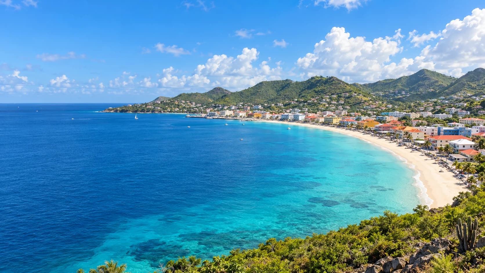
Sandy bays, sailing lagoons and green hills meet a colourful harbour town and a lively Caribbean food and music scene.
Worth coming back!
Wanderlama keeps growing with new destinations, helpful information and exciting features. Check back soon and discover what is new!
Travel to Sint Maarten
Sint Maarten is a constituent country of the Kingdom of the Netherlands, occupying the southern part of a Caribbean island shared with French Saint Martin. Hills, sandy bays and coastal wetlands give this small country varied landscapes. Dutch and English are official languages, while English has a prominent place in everyday island life. The two sides have distinct administrations within a closely connected island community.
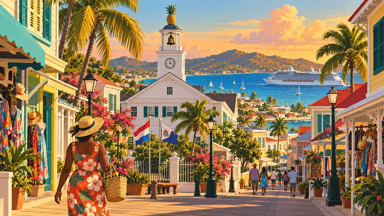
Philipsburg, the capital, lies between Great Bay and the Great Salt Pond. Front Street, traditional houses and the waterfront boardwalk sit alongside shops and a busy cruise harbour. Fort Amsterdam overlooks the bay, while the Sint Maarten Museum explores the island’s heritage. Indigenous settlement, colonial rivalry, salt harvesting, plantation slavery and emancipation all belong to that history.
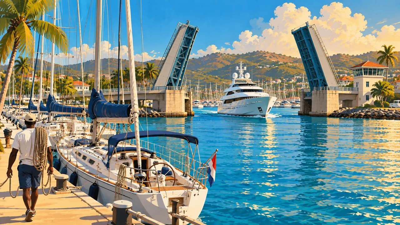
Maho Beach is known for aircraft approaching Princess Juliana International Airport just beyond the shore. Nearby Mullet Bay offers a broad sandy beach, while Dawn Beach faces the Atlantic on the eastern coast. Simpson Bay combines a fishing heritage with restaurants, beach bars, casinos and nightlife. Its lagoon is also a major setting for sailing and yacht marinas.
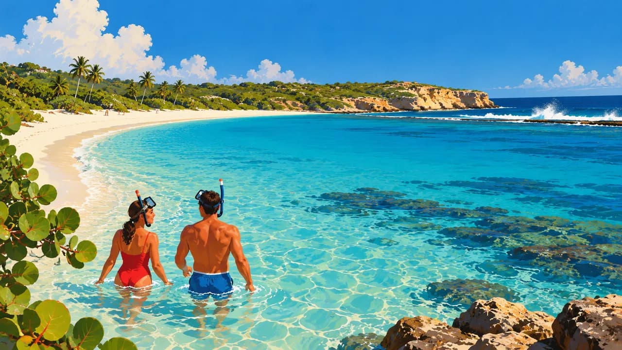
Beyond the developed waterfronts, Sentry Hill offers views across the island’s hills and bays. Mullet Pond preserves mangroves within the Simpson Bay Lagoon, providing shelter for young marine life. Coastal ponds support waterbirds, while the Man of War Shoal Marine Park protects reef habitats offshore. Snorkelling and diving reveal a different side of the island beyond its beaches.
Carnival, calypso, soca and colourful murals express a living Caribbean culture shaped by migration and family connections across the region. Johnny cakes, stuffed crab, grilled fish and guavaberry liqueur add local flavours alongside international cooking. Markets, neighbourhood restaurants and music venues broaden the experience beyond resorts, shopping streets and cruise excursions.
AI edited
- Constituent country
- Political status Sint Maarten is a country within the Kingdom of the Netherlands, not part of the European Netherlands. It occupies the island’s southern part, distinct from French Saint Martin.
- ≈ 42,400
- Population STAT estimate, 1 January 2025, 42,449 residents. Rebased on the 2022 census and rounded to 42,400.
- 34 km²
- Area Land area of the country of Sint Maarten, not the entire island shared with French Saint Martin.
- Dutch & English
- Languages Dutch and English are official languages. English is widely used in everyday life, alongside local English-based varieties.
- Spanish, French & Creole
- Other languages Spanish, French and Haitian Creole reflect the island’s diverse communities. Their use varies between households and neighbourhoods.
- Caribbean guilder (XCG)
- Currency Caribbean guilder, code XCG, symbol Cg. It replaced the Netherlands Antillean guilder. US dollars are also widely accepted.
- A · B
- Socket types American-style A/B sockets, generally 110–120 V at 60 Hz. Some installations also supply 220 V. An adaptor does not change voltage or frequency.
- Philipsburg
- Capital Philipsburg lies between Great Bay and the Great Salt Pond. It is distinct from Marigot, the administrative centre of French Saint Martin.
- Right-hand traffic
- Driving side Traffic drives on the right on both sides of the island.
- UTC−4
- Time zone Atlantic Standard Time throughout the year, without daylight saving. The difference from browser and home time can change when those places switch clocks.
Sint Maarten on the map

Map data: geoBoundaries (CC BY 4.0), © OpenStreetMap contributors (ODbL), Natural Earth
Climate and best time to travel
The climate is tropical, with easterly trade winds. December to May is relatively dry, while June to November is wetter and overlaps the Atlantic hurricane season. Outdoor month labels indicate a generally favourable period, not guaranteed sunshine or calm seas.