Saba
Cloud forest above steep coasts, volcanic underwater landscapes and whitewashed villages meet seafaring heritage and living craft traditions.
Worth coming back!
Wanderlama keeps growing with new destinations, helpful information and exciting features. Check back soon and discover what is new!
Travel to Saba
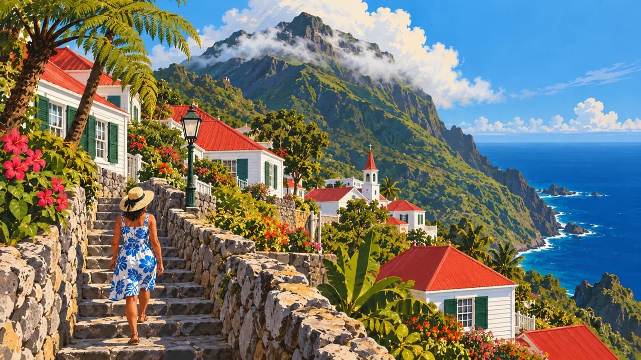
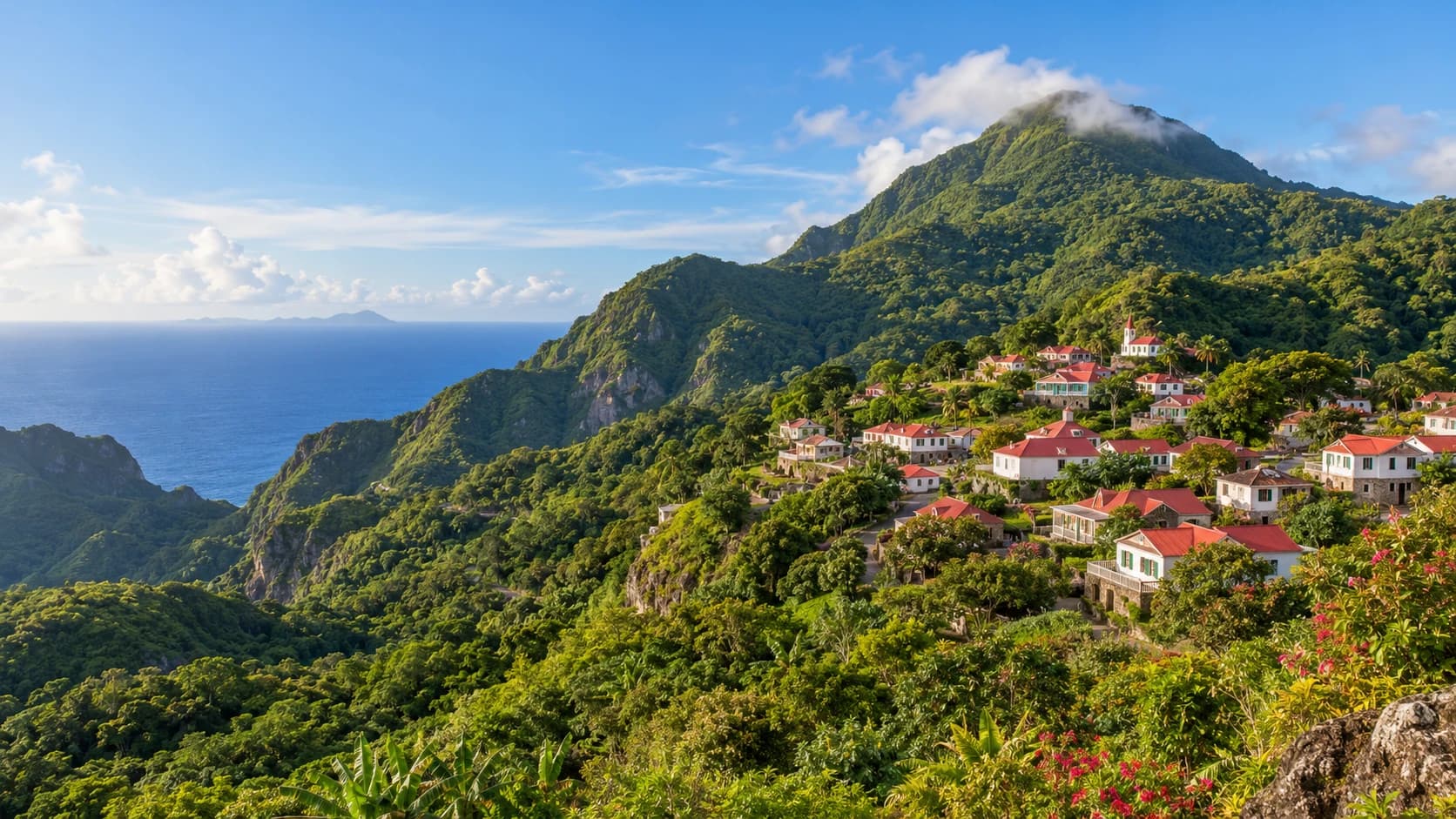
Saba is a steep volcanic island in the northeastern Caribbean and a public body of the Netherlands, often described as a special municipality. Cliffs, wooded slopes and villages with white cottages, red roofs and decorative wooden trim distinguish it from the region’s broad sandy islands. The Bottom is the administrative centre, while Windwardside is a base for exploring the mountain and island heritage.
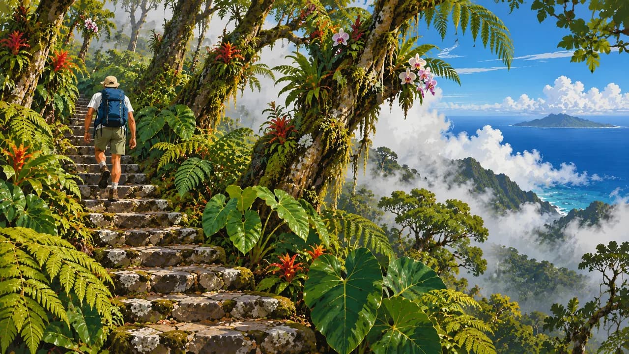
Mount Scenery, the highest point in the Kingdom of the Netherlands, rises into a humid cloud forest. Stone steps climb through changing vegetation, with tree ferns, mosses and orchids near the upper slopes. Within Mount Scenery National Park, the Sandy Cruz Trail and other paths reveal forested ravines, coastal views and traces of former farming landscapes.
Beneath the sea, the Saba National Marine Park protects the island’s coastal waters. Volcanic pinnacles, steep walls and reefs provide varied underwater habitats, rather than a single continuous shallow lagoon. The Saba Bank National Park is a separate offshore protected area, with extensive submerged reef habitats and an important role in regional marine biodiversity.
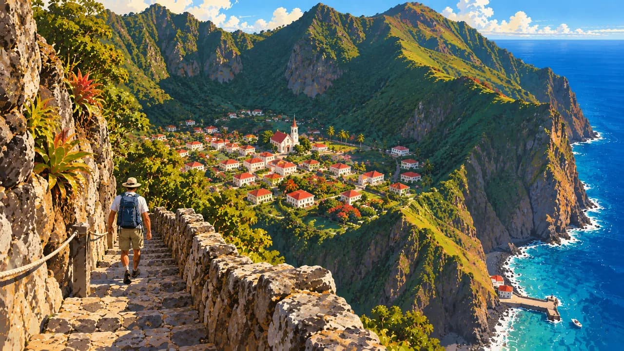
The Road links The Bottom, Windwardside, St John’s and Zion’s Hill across difficult terrain. At The Ladder, stone steps recall how goods were carried up from the former landing place, before Fort Bay became the principal harbour. The Harry L. Johnson Museum and Saba Heritage Center explore domestic life, Indigenous archaeology and maritime traditions. African and European histories, including enslavement, also belong to the island’s story.
Saba Lace preserves a distinctive needlework tradition, alongside contemporary art and craft. Seafood and Saba Spice, a spiced rum-based drink, add culinary character. The short runway at Juancho E. Yrausquin Airport illustrates the constraints of the rocky landscape, while small coves and changing shorelines offer coastal scenery rather than extensive resort beaches.
AI edited
- Special municipality
- Political status Saba is a public body of the Netherlands, often called a special municipality. It belongs to the Caribbean Netherlands and is neither an independent state nor a Dutch province.
- ≈ 2,160
- Population CBS records 2,158 residents on 1 January 2025, rounded here to 2,160. This dated population figure is not a live count.
- 13 km²
- Area The island covers approximately 13 km² of land. The protected coastal waters and the offshore Saba Bank are not included in that area.
- English & Dutch
- Languages English and Dutch are official languages. English shapes everyday life, while links with Dutch administration also have a linguistic dimension.
- Saban English
- Other languages The local variety of Caribbean English is part of conversation, storytelling and island identity. It is not presented as an additional separate official language.
- US dollar (USD)
- Currency The currency is the US dollar, code USD, not the euro or East Caribbean dollar. Prices and payment methods can differ between providers.
- A · B
- Socket types Types A and B are used at 110 V and 60 Hz. Check device and outlet ratings. An adaptor changes neither voltage nor frequency.
- The Bottom
- Administrative centre The Bottom is the administrative centre and one of the four main villages. It stands above the coast, the name does not mean that the settlement is at sea level.
- Right-hand traffic
- Driving side Traffic drives on the right. The Road connects villages across steep terrain with tight bends. Short distances do not necessarily mean short walks here.
- UTC−4
- Time zone Saba uses UTC−4 year-round, without daylight saving. Differences from browser time and the saved home location can change when those places switch clocks.
Saba on the map

Map data: geoBoundaries (CC BY 4.0), © OpenStreetMap contributors (ODbL), Natural Earth
Climate and best time to travel
Saba’s tropical climate changes with elevation. The coast is drier, while the upper slopes carry humid cloud forest. December to April is the relatively drier period. The Atlantic hurricane season runs from June to November. Clouds, rain, wind and swell are part of the island environment. Month labels do not guarantee views, sea conditions or access.