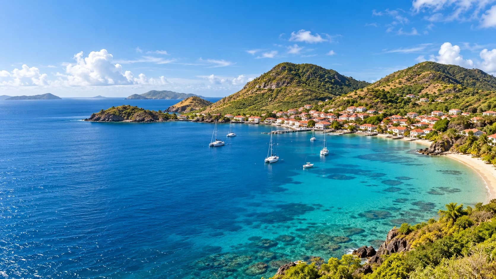
Guadeloupe
Volcanic forests, bright coastal bays and island passages meet mangrove habitats, Creole culture and a richly layered food heritage.
Worth coming back!
Wanderlama keeps growing with new destinations, helpful information and exciting features. Check back soon and discover what is new!
Travel to Guadeloupe
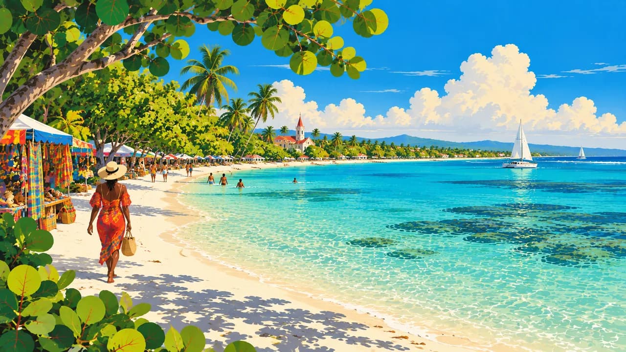
Guadeloupe is a French overseas department and region in the Lesser Antilles, not an independent country. Its two main islands, Basse-Terre and Grande-Terre, are joined by bridges. Pointe-à-Pitre combines markets and waterfront streets, while Le Gosier, Sainte-Anne and Saint-François offer contrasting coastal bases. Le Moule adds Atlantic shores and sugar-industry heritage. The town of Basse-Terre, distinct from the island of the same name, is the administrative capital.
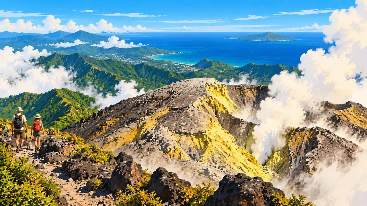
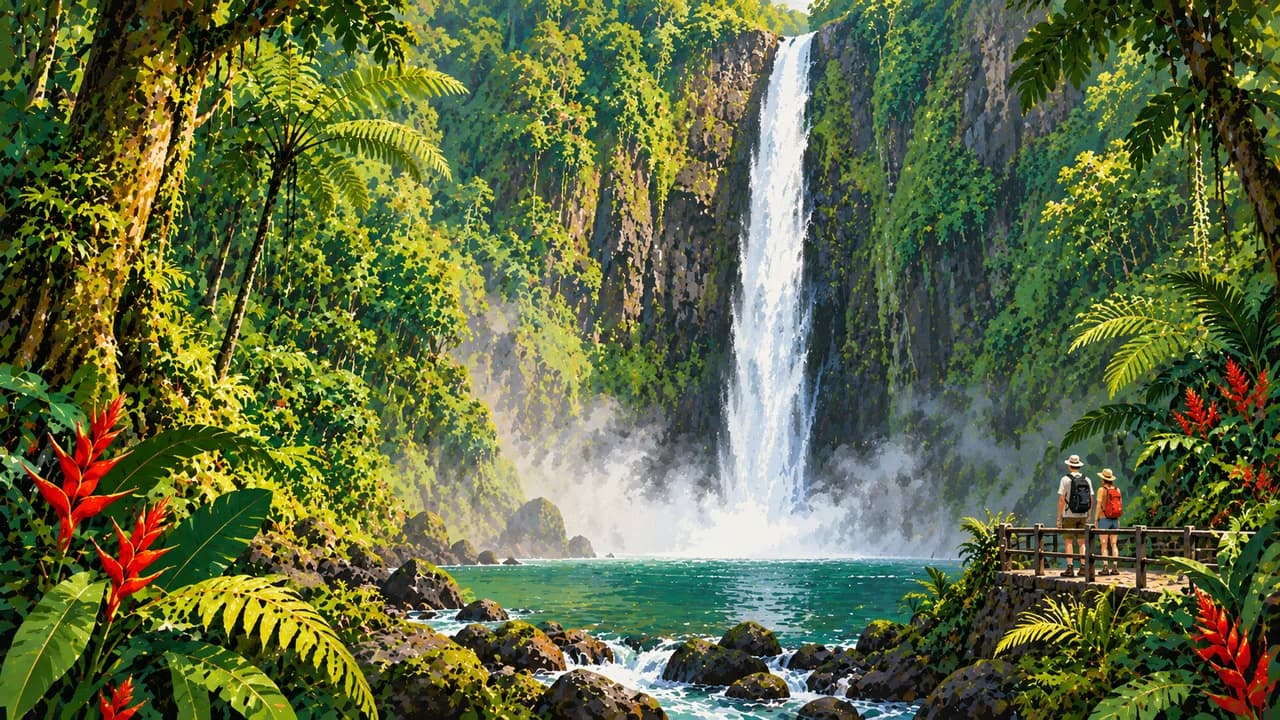
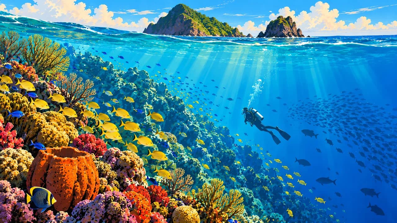
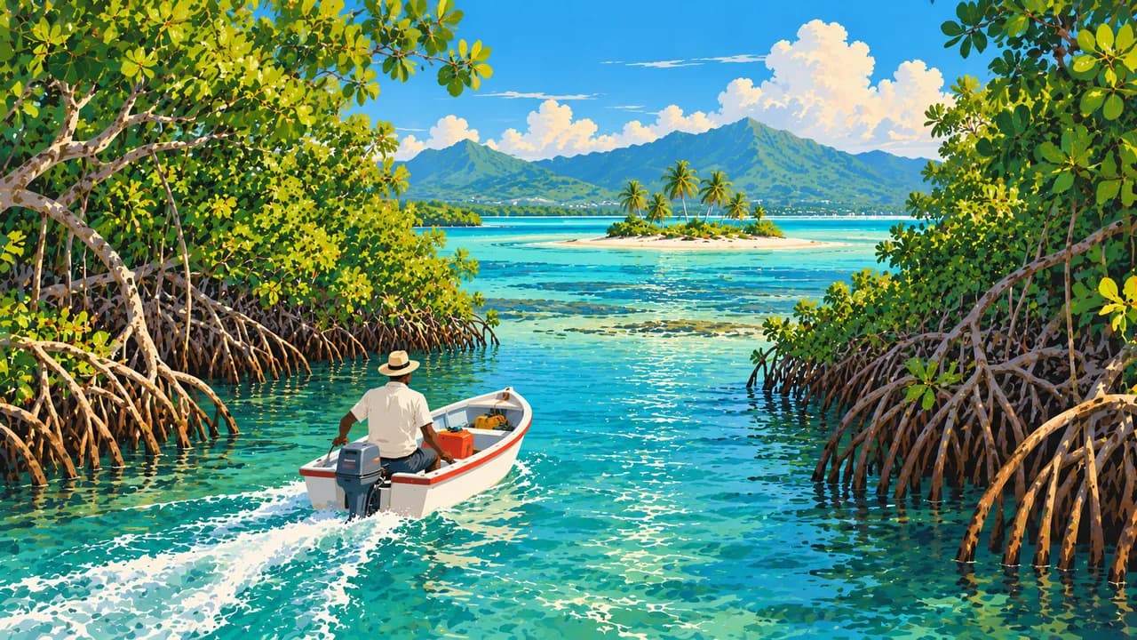
Mountainous Basse-Terre holds rainforest trails, the active La Soufrière volcano and Chutes du Carbet waterfalls. Deshaies adds a fishing harbour and botanical gardens, while Bouillante is a base for the protected waters around the Pigeon Islands, commonly called Réserve Cousteau and part of the national park. Near Sainte-Rose, Grand Cul-de-Sac Marin links mangroves, seagrass and reefs. These habitats need careful exploration, not unrestricted access.
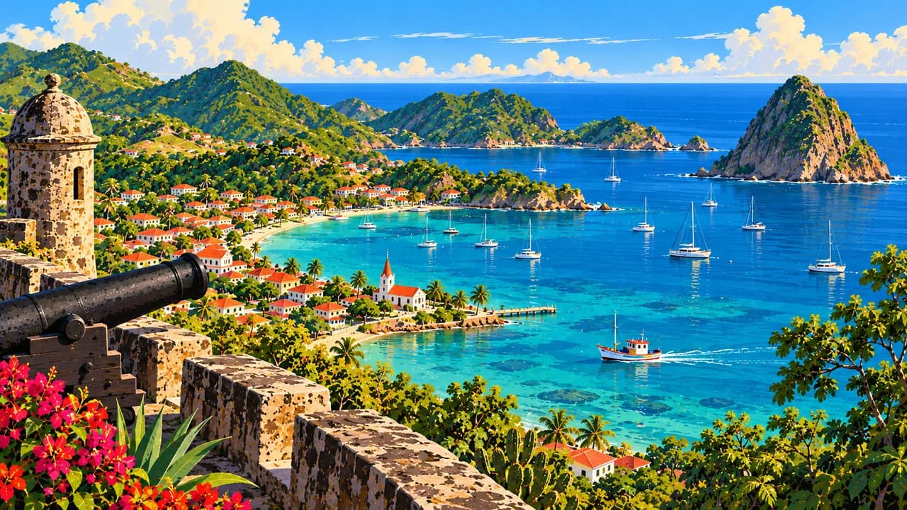
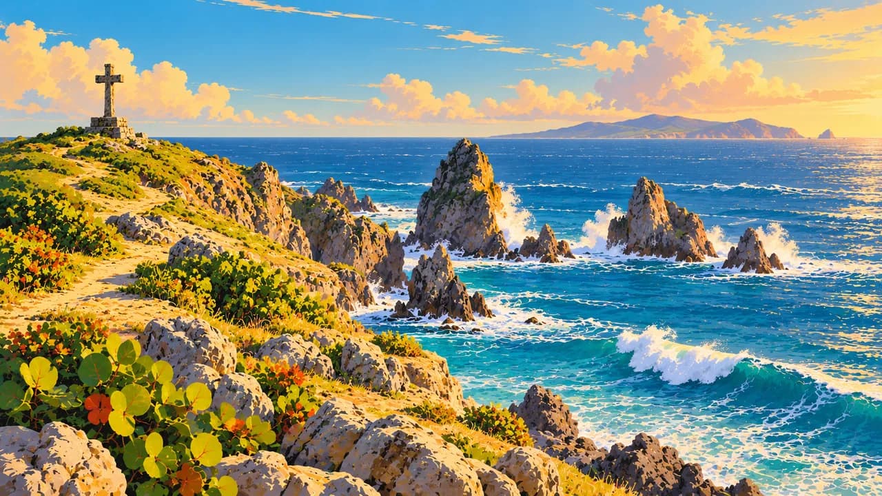
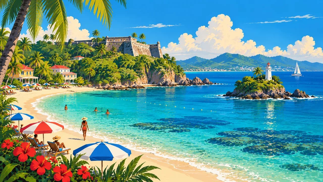
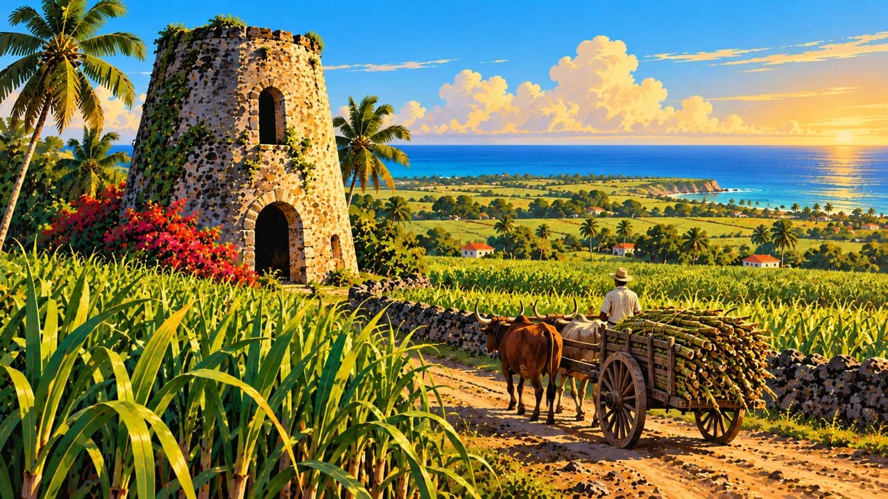
The smaller islands have distinct landscapes and communities shaped by farming, fishing and maritime connections. Marie-Galante combines cane fields, windmill remains, rum-making heritage and beaches. In Les Saintes, Terre-de-Haut offers a harbour village, Fort Napoléon and coastal walks, with neighbouring Terre-de-Bas providing another island perspective. La Désirade adds limestone plateaus, geological heritage and fishing communities. Each requires its own transport planning.
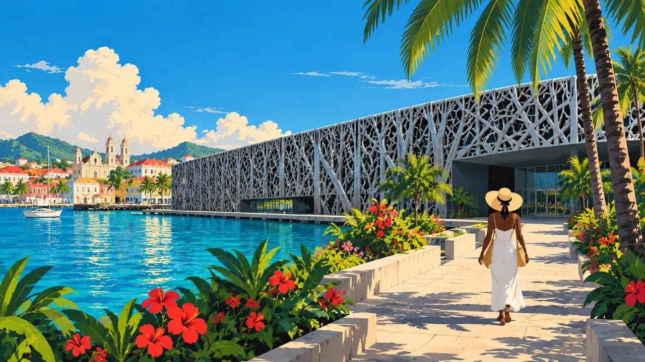
Creole language, gwoka drumming, singing and dance, carnival and contemporary arts are central to local identity. Gwoka is UNESCO-listed intangible cultural heritage, not a World Heritage landscape. Pointe-à-Pitre's Mémorial ACTe addresses slavery and the slave trade, essential context for plantation and sugar history. African, Indian and European influences meet in dishes such as colombo, accras, bokit and local seafood.
Plan ferry connections separately and check seasonal services, weather and sea conditions. Rain, river surges and volcanic hazards can restrict trails, waterfall approaches and summit routes. Follow park guidance and closures, never touch coral or disturb turtles. Choose swimming and boat trips to suit local conditions. Beach conditions can also vary with sargassum arrivals.
AI edited
- French overseas region
- Political status Guadeloupe is an overseas department and region of France, not an independent state. Basse-Terre and Grande-Terre form its main island pair, with Marie-Galante, Les Saintes, La Désirade and smaller islands.
- ≈ 384,000
- Population INSEE, reference year 2023, 384,160 residents. Rounded to 384,000, excluding people counted separately.
- 1,639 km²
- Area UNdata lists a surface area of 1,639 km² with reference year 2023. Different land and water definitions can produce other totals.
- French
- Language French is the official language and is used in administration, education and visitor services.
- Guadeloupean Creole
- Other languages Guadeloupean Creole is a living regional language used in everyday life, music and storytelling. It is not presented here as a second official language. Listen respectfully and ask when a phrase is unfamiliar.
- Euro (EUR)
- Currency The currency is the euro, code EUR. Confirm card acceptance, cash needs and payment or withdrawal fees, especially when travelling to smaller islands.
- C · E
- Socket types Plug types C and E at 230 V and 50 Hz. Check outlet grounding and device ratings. An adaptor changes neither voltage nor frequency.
- Basse-Terre
- Administrative centre The town of Basse-Terre is the administrative centre. It is distinct from the island of the same name and from Pointe-à-Pitre, a major commercial and transport hub.
- Right-hand traffic
- Driving side Traffic drives on the right. Check licence and rental conditions, vehicle equipment and road closures. Allow extra time for winding mountain roads and heavy rain.
- UTC−4
- Time zone Guadeloupe uses UTC−4 year-round, without daylight saving. Differences from browser time and the saved home location can change when those places switch clocks.
Guadeloupe on the map

Map data: geoBoundaries (CC BY 4.0), © OpenStreetMap contributors (ODbL), Natural Earth
Climate and best time to travel
December to April is a useful relatively drier planning window, but the mountainous island is wetter than many coastal areas. The Atlantic hurricane season runs from June to November. Rain and river surges, volcanic hazards, swell and sargassum can change plans. Month labels do not guarantee access, clear water, safe swimming or wildlife sightings. Check forecasts, park closures and seasonal services before setting out.
Destinations in Guadeloupe
 AI generated
 AI generated
 AI generated
 AI generated
 AI generated
 AI generated
 AI generated
 AI generated
 AI generated
 AI generated
 AI generated
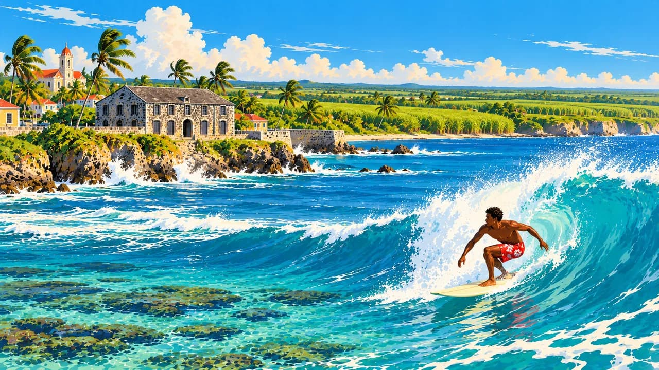 AI generated