Antigua and Barbuda
Historic harbours, pale-sand bays and green inland hills meet bird-rich lagoons, island music and Caribbean cooking.
Worth coming back!
Wanderlama keeps growing with new destinations, helpful information and exciting features. Check back soon and discover what is new!
Travel to Antigua and Barbuda
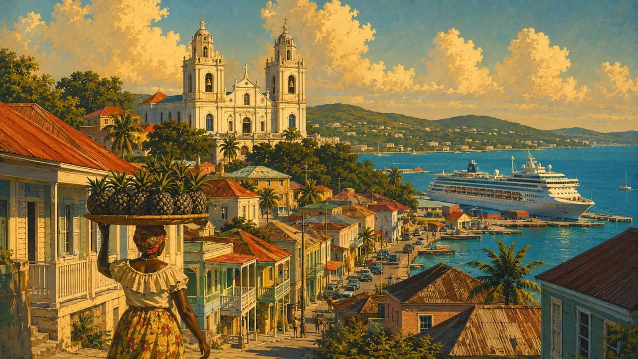
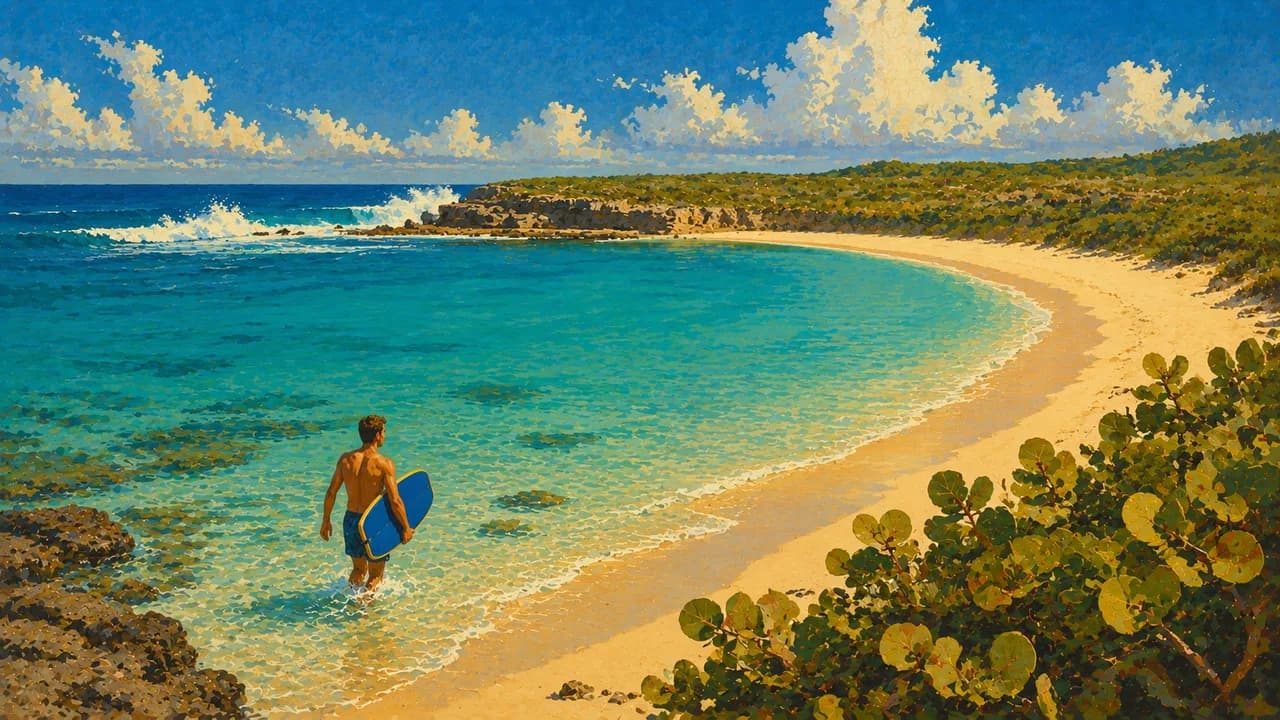
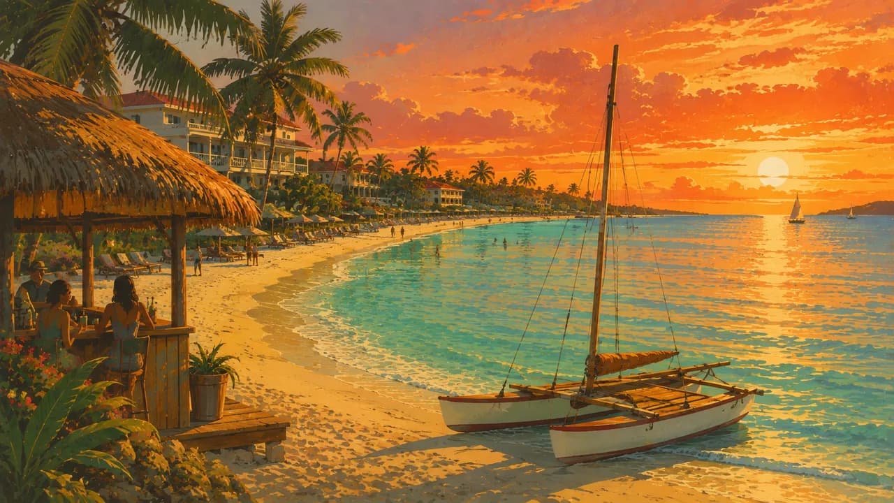
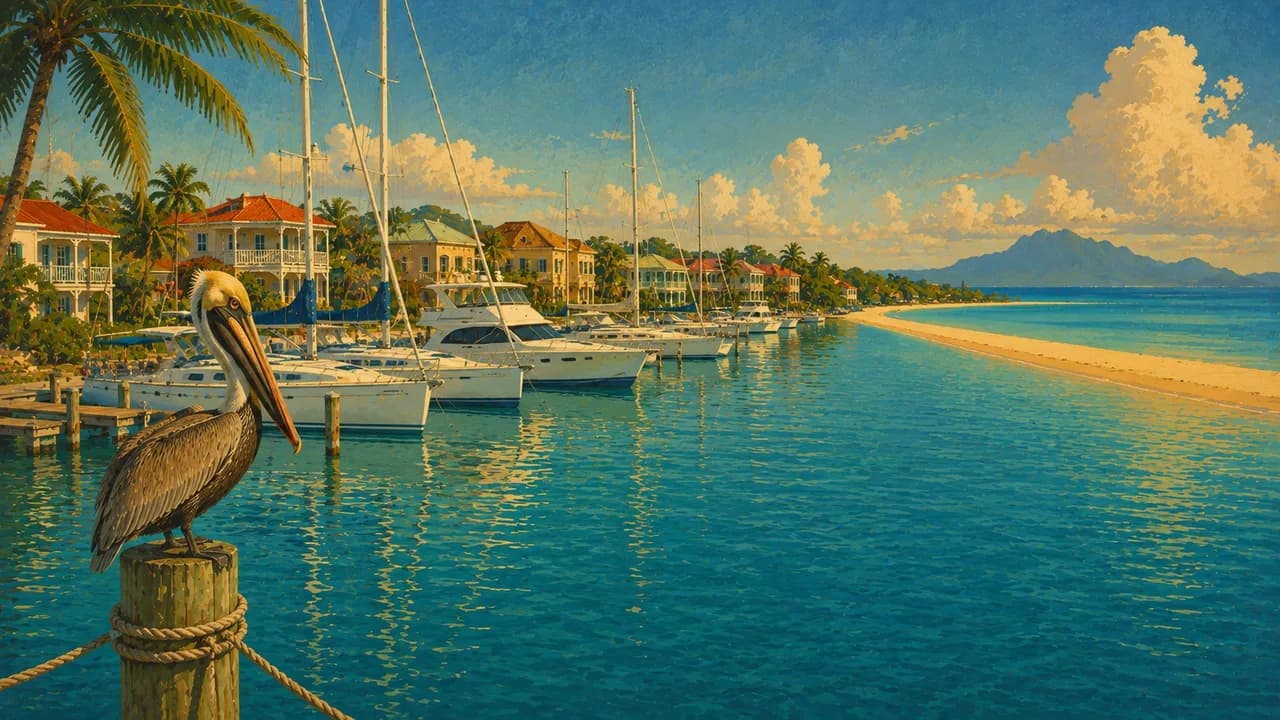
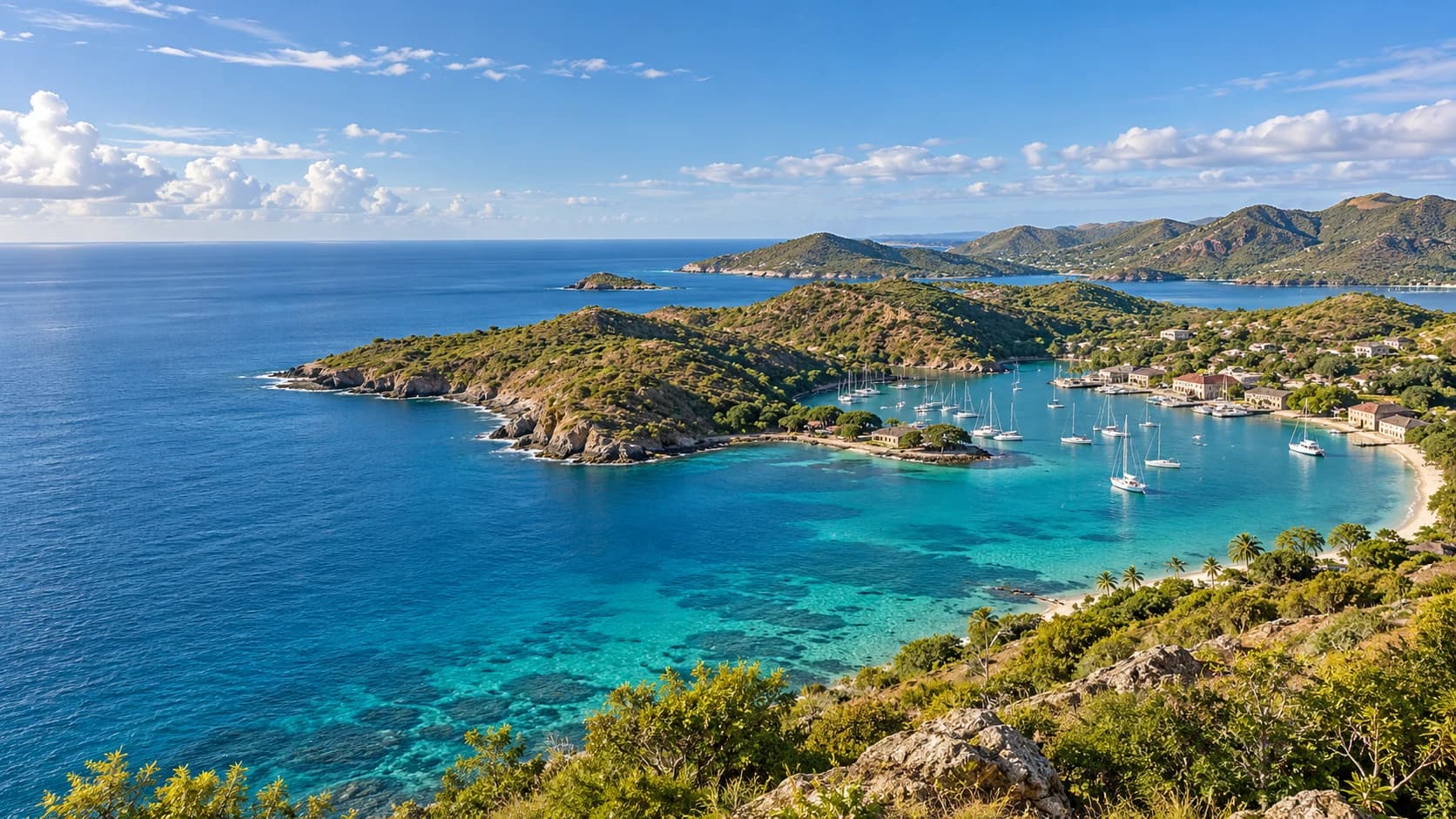
Antigua and Barbuda is an independent Caribbean country in the Leeward Islands, with two main islands that offer contrasting landscapes and communities. Antigua has sheltered harbours, rolling hills and a varied coastline, while Barbuda is lower and flatter. The capital, Saint John's, combines a working port with markets and local everyday life. Dickenson Bay, Jolly Harbour and Half Moon Bay offer different coastal settings rather than interchangeable resort beaches.
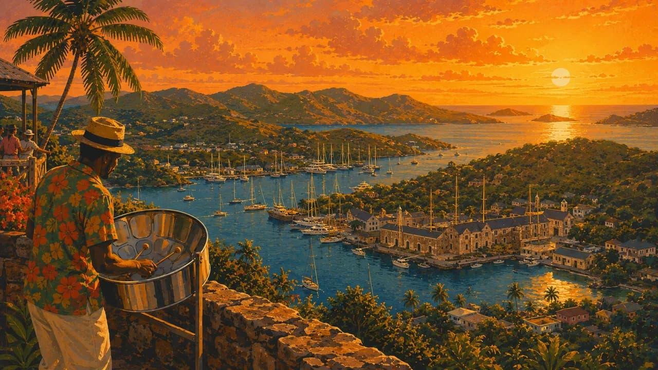
At English Harbour, Nelson's Dockyard forms part of the UNESCO-listed Antigua Naval Dockyard and Related Archaeological Sites. Its Georgian buildings and surrounding fortifications reflect naval strategy and the skills and labour of enslaved Africans. Shirley Heights overlooks the harbour, while Betty's Hope broadens the historical picture through the remains of a sugar plantation. Sailing traditions remain important, but the islands' heritage extends beyond yachts and colonial architecture.
In Antigua's southwest, Fig Tree Drive passes through greener hills and fruit-growing landscapes. The Atlantic coast around Devil's Bridge reveals limestone arches, blowholes and exposed shores. Reef and coastal excursions depend on weather, sea conditions and suitable guiding. Clear water should not be taken as a guarantee of safe swimming, and coral and nesting wildlife need protection.
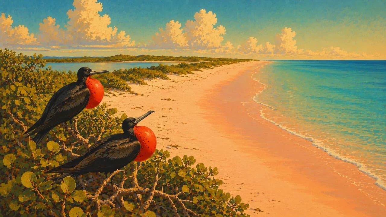
Barbuda has its own community life around Codrington, long beaches with pink-toned sand, mangroves and limestone caves. Codrington Lagoon supports nesting frigatebirds, best observed without disturbing the colony. Indian Cave at Two Foot Bay preserves traces of indigenous presence, while Darby's Cave is a large sinkhole rather than an ordinary walk-in cavern. Local guides, access checks and respect for community and conservation rules are important.
Carnival, steelpan, calypso, soca and cricket express living culture alongside visual arts and local food. Fungi, pepperpot, saltfish and seafood offer perspectives beyond international resort dining. Plan inter-island flights or ferries with realistic connections, and check forecasts, entry requirements and seasonal opening. Boat trips, bird sightings and calm seas are never guaranteed.
AI edited
- 2
- Main islands Antigua and Barbuda are the two main islands of this independent country. Redonda and smaller offshore islands also belong to it.
- ≈ 94,000
- Population UNdata gives a projected estimate of approximately 94,000 for 2025 using the medium fertility variant. This is a modelled projection, not a new census result or live count, and can differ from national estimates.
- 442 km²
- Area UNdata lists a surface area of 442 km², with reference year 2023. Statistical land and water definitions can produce different totals.
- English
- Language English is the official language and is used in administration, education and visitor services.
- Local English varieties
- Other languages Local expressions and English-based Creole speech are part of everyday communication. Listen respectfully and ask when an expression is unfamiliar.
- East Caribbean dollar (XCD)
- Currency The currency code is XCD, often written EC$. US dollars are widely accepted, but confirm the currency of prices and change, payment options and fees.
- A · B
- Socket types A/B at 60 Hz. Supplies may be 110 V or 220–230 V. Check outlet and device ratings, adaptors do not convert voltage.
- Saint John's
- Capital Saint John's on Antigua is the national capital, with harbourfront streets, markets and a cathedral.
- Left-hand traffic
- Driving side Drive on the left. Check temporary local driving-permit requirements, road conditions and vehicle equipment. Allow for left-hand traffic when walking and cycling too.
- UTC−4
- Time zone Atlantic Standard Time applies year-round, without daylight saving. Browser and saved home-time differences can change when those places switch clocks.
Antigua and Barbuda on the map

Map data: geoBoundaries (CC BY 4.0), © OpenStreetMap contributors (ODbL), Natural Earth
Climate and best time to travel
December to April offers a useful relatively drier planning window, not guaranteed sunshine or calm seas. The Atlantic hurricane season runs from June to November, and wind or swell can affect excursions at other times too. Month labels are broad orientation rather than promises of access, events or wildlife sightings. Check forecasts, protected-area rules and operator information before travel.