Saint-Barthélemy
Pale sandy bays, rocky headlands and protected marine habitats meet maritime history, local crafts and French-Caribbean cooking.
Worth coming back!
Wanderlama keeps growing with new destinations, helpful information and exciting features. Check back soon and discover what is new!
Travel to Saint-Barthélemy
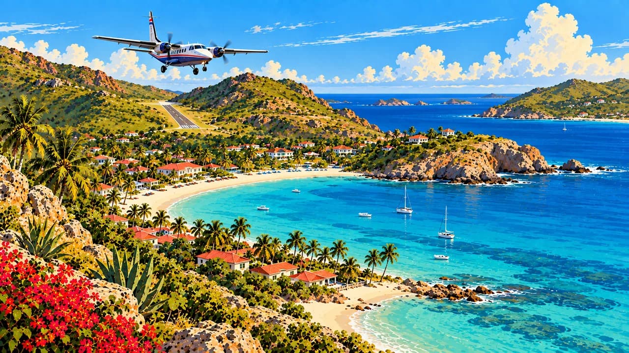
Saint-Barthélemy, often called St Barts, is a French overseas collectivity in the northern Lesser Antilles. Low hills, rocky headlands and contrasting bays shape this small Caribbean island. Its landscape combines coastal villages, dry vegetation and sandy shores rather than extensive rainforest. The short airport runway at Saint-Jean reflects the constraints of the terrain.
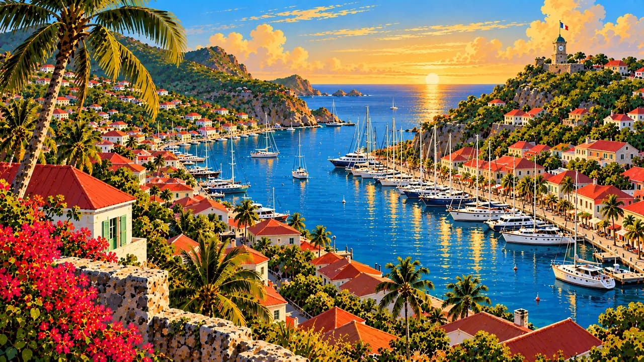
Gustavia, the capital and harbour town, brings together quays, shops and restaurants with reminders of French and Swedish colonial history. Fort Gustave and the stone walls of Wall House give substance to that maritime past. The island’s history also includes slavery and the slave trade during Swedish rule, alongside the stories of seafarers, fishing families and emancipation.
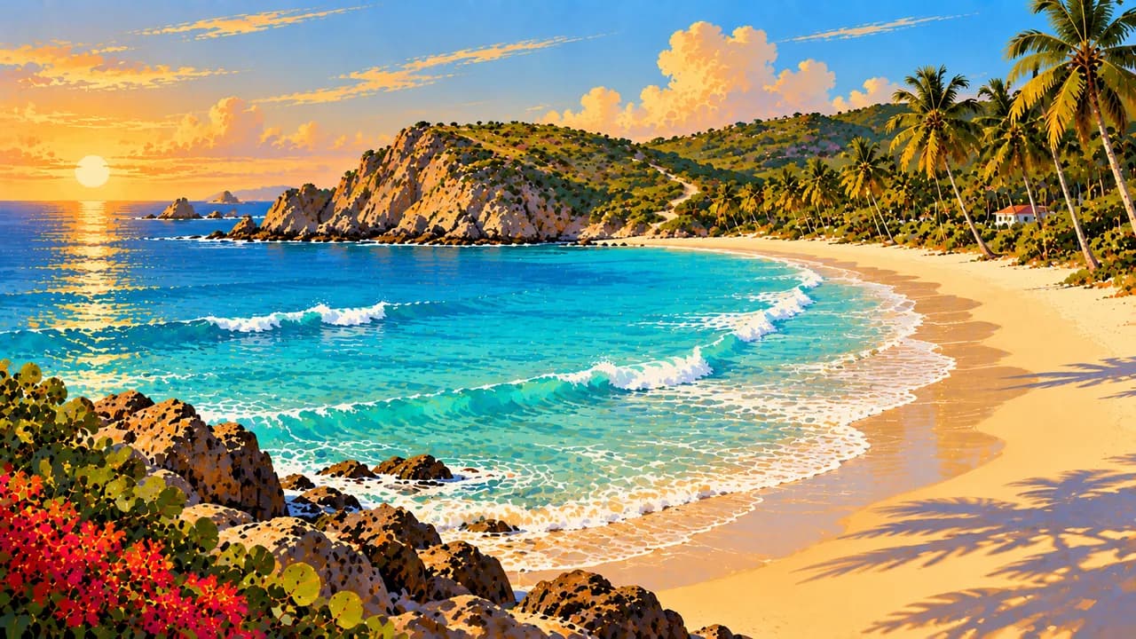
Saint-Jean combines a beach, watersports and village life, while Anse des Flamands opens onto a broad sweep of sand. Saline and Gouverneur sit between low hills, and Shell Beach lies close to Gustavia. Colombier is reached by coastal footpaths or boat. These shores differ in exposure, setting and sea conditions rather than offering one uniform beach experience.
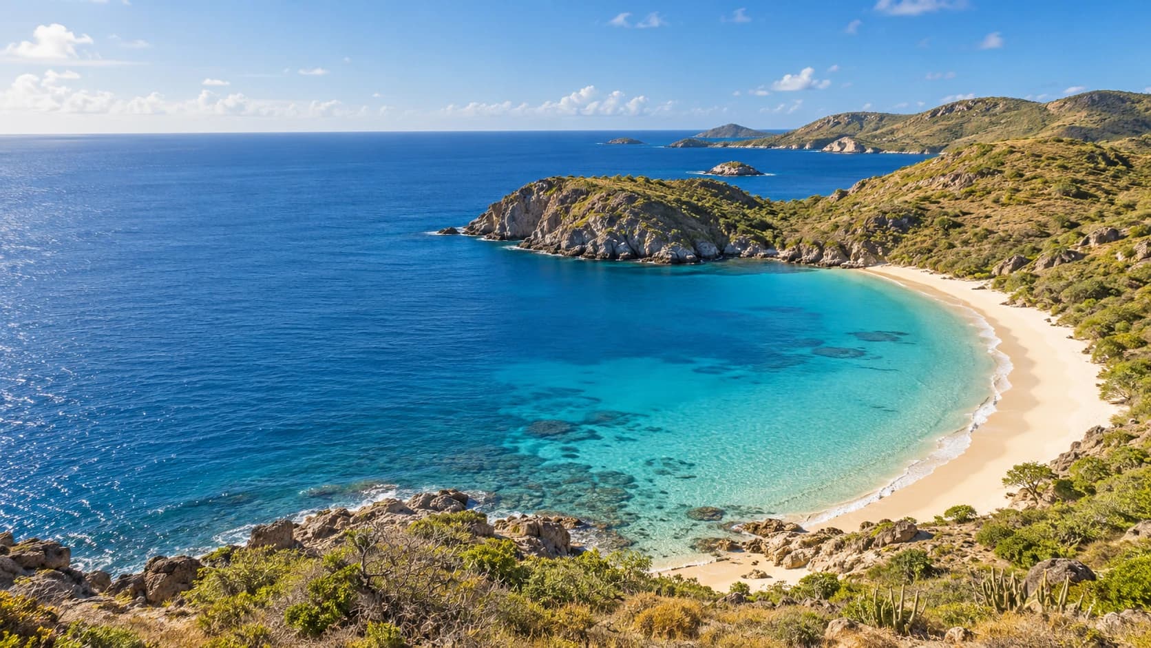
The island’s national nature reserve protects several separate marine areas, including waters around Colombier and offshore islets such as Île Fourchue. Coral reefs and seagrass beds provide habitat for fish and sea turtles. Rocky islets also support nesting seabirds. Conservation is part of the coastal landscape, not a promise of unrestricted anchoring, wildlife encounters or identical conditions in every bay.
Corossol adds fishing heritage and palm-leaf weaving to the island portrait, with baskets and hats expressing local craft traditions. Art, exhibitions and community celebrations complement the better-known sailing and restaurant scene. French culinary traditions meet Caribbean ingredients and wider influences in island kitchens, where fish and seafood sit alongside varied contemporary cooking.
AI edited
- French overseas collectivity
- Political status French overseas collectivity under Article 74. Not an independent state, overseas department or French region.
- ≈ 10,700
- Population INSEE, reference year 2023, 10,660 residents. Rounded to 10,700, excluding people counted separately.
- 21 km²
- Area The French Overseas Ministry lists an area of 21 km². Other boundaries including outlying islets can produce different figures. The nature reserve’s marine waters are not land area.
- French
- Language French is the official language and shapes administration, education and everyday island life.
- English
- Other languages English is used in many visitor services and international contacts. It is not presented here as a second official language.
- Euro (EUR)
- Currency The currency is the euro, code EUR. Euros and US dollars are different currencies, so note the currency of quoted prices.
- C · E
- Socket types C/E, 230 V at 60 Hz. Frequency differs from European France. An adaptor converts neither voltage nor frequency.
- Gustavia
- Administrative centre Gustavia is the capital, administrative centre and harbour town. Its waterfront buildings and Fort Gustave recall French and Swedish history.
- Right-hand traffic
- Driving side Traffic drives on the right. The low hills and bays are linked by roads that can be narrow and winding.
- UTC−4
- Time zone Saint-Barthélemy uses UTC−4 year-round, without daylight saving. Differences from browser time and the saved home location can change when those places switch clocks.
Saint-Barthélemy on the map

Map data: geoBoundaries (CC BY 4.0), © OpenStreetMap contributors (ODbL), Natural Earth
Climate and best time to travel
The climate is tropical, with a relatively drier period from January to April. June to November is wetter and coincides with the Atlantic hurricane season. Low hills and differently exposed bays create local contrasts. Wind, swell and rain do not follow strict monthly boundaries. Month labels guarantee neither calm water nor visibility or access.