Saint-Martin
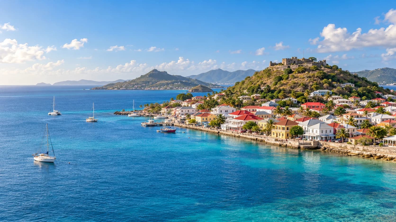
Sandy bays and wooded hills meet protected coastal habitats, maritime heritage and a multilingual island culture shaped by French and Caribbean influences.
Worth coming back!
Wanderlama keeps growing with new destinations, helpful information and exciting features. Check back soon and discover what is new!
Travel to Saint-Martin
Saint Martin is a French overseas collectivity occupying the northern part of a Caribbean island shared with Sint Maarten, a constituent country of the Kingdom of the Netherlands. Low hills, coastal ponds and sandy bays shape the landscape. French administration coexists with a multilingual island culture in which English also has a prominent place.
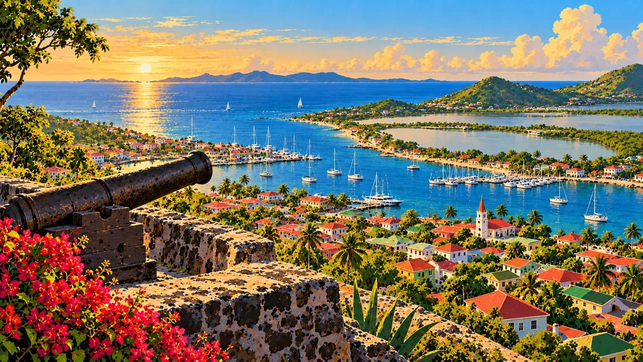
Marigot, the administrative centre, combines a waterfront market, traditional houses and a harbour beneath Fort Louis. The fort overlooks the town and Simpson Bay Lagoon. Beyond the colonial architecture, the island’s history includes Indigenous settlement, plantation slavery, salt harvesting and emancipation. Amuseum Naturalis in Quartier d’Orléans explores local nature, oral histories and everyday heritage.
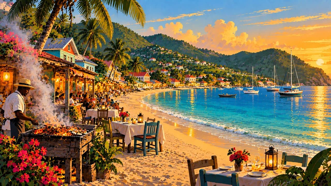
Grand Case brings together a fishing-village setting, beachside dining and traditional lolos serving grilled fish, seafood and meat. French cooking meets broader Caribbean influences, with rice and peas, spices and local food traditions adding depth beyond fine dining. Carnival, music, visual arts and family stories express the island’s diverse cultural connections.
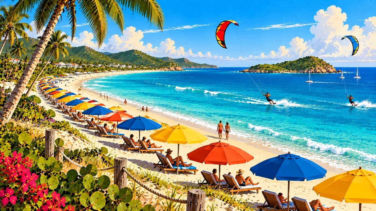
Baie Orientale, also known as Orient Bay, has an Atlantic-facing beach associated with water sports and beach clubs. The western Terres Basses peninsula offers contrasting coastal settings at Baie Rouge, Baie Longue and Baie aux Prunes. Inland, Pic Paradis provides broad island views, while the wooded slopes around Loterie Farm reveal another landscape beyond the beaches.
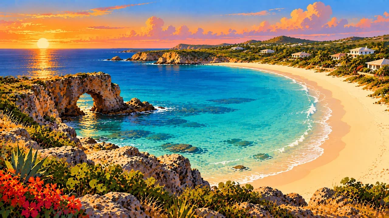
The national nature reserve protects marine and coastal areas around Îlet Pinel and Îlet Tintamarre, alongside coral reefs, seagrass beds, mangroves, ponds and coastal dry forest. These interconnected habitats support fish, sea turtles and birds. Snorkelling, sailing and coastal walks complement the island’s towns, while conservation helps preserve the landscapes and marine life that define its shores.
AI edited
- French overseas collectivity
- Political status French overseas collectivity in the island’s north. The south is Sint Maarten, a country within the Kingdom of the Netherlands.
- ≈ 31,200
- Population INSEE, reference year 2023, 31,160 residents. Rounded to 31,200, excluding people counted separately.
- 53 km²
- Area The French Overseas Ministry gives 53 km² for the French territory. This does not describe the whole shared island or the area of its protected marine waters.
- French
- Language French is the official language of the collectivity and is used in administration and education.
- English & island languages
- Other languages English is widely spoken in everyday island life. Caribbean language varieties and other community languages reflect the island’s diverse population. English is not presented as a second official language.
- Euro (EUR)
- Currency The currency on the French side is the euro, code EUR. This differs from the official currency of neighbouring Sint Maarten. A price quoted in dollars is not a euro amount.
- C · E
- Socket types C/E, nominally 230 V at 60 Hz. Visitor information often gives 220 V. An adaptor changes neither voltage nor frequency.
- Marigot
- Administrative centre Marigot is the French territory’s administrative centre and harbour town, overlooked by Fort Louis. Philipsburg is the capital of Sint Maarten, not of the French collectivity.
- Right-hand traffic
- Driving side Traffic drives on the right on both sides of the island. Roads connect coastal towns and hill districts, and traffic can affect journey times.
- UTC−4
- Time zone Saint-Martin uses UTC−4 throughout the year, without daylight saving. Differences from browser time and the saved home location can change when those places switch clocks.
Saint-Martin on the map

Map data: geoBoundaries (CC BY 4.0), © OpenStreetMap contributors (ODbL), Natural Earth
Climate and best time to travel
The climate is tropical, with a relatively drier period from January to April. June to November is wetter and coincides with the Atlantic hurricane season. Hills, trade winds and differently exposed coasts create local contrasts. Month labels guarantee neither calm water nor visibility, access or dry walking conditions.