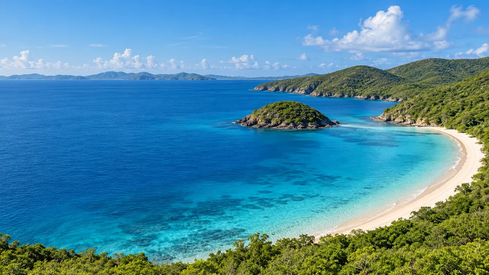
United States Virgin Islands
Island bays, protected coastal forests and coral habitats meet layered history, Caribbean rhythms and traditional island cooking.
Worth coming back!
Wanderlama keeps growing with new destinations, helpful information and exciting features. Check back soon and discover what is new!
Travel to the US Virgin Islands
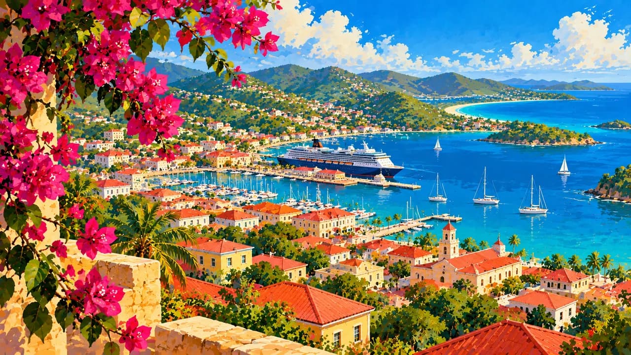
The US Virgin Islands are a Caribbean territory of the United States east of Puerto Rico, distinct from the British Virgin Islands. Saint Thomas, Saint John and Saint Croix are the main islands, alongside smaller islands and cays. On Saint Thomas, Charlotte Amalie combines a working harbour with historic streets and Fort Christian, while Magens Bay offers a contrasting coastal setting. Nearby Water Island has the sandy shore of Honeymoon Beach.
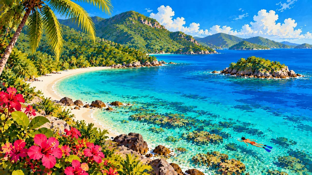
On Saint John, Virgin Islands National Park protects much of the island and adjoining marine habitats. Trunk Bay has an underwater snorkel trail, while Cinnamon Bay and Maho Bay add beaches and seagrass habitats. Forest trails lead inland to Reef Bay's indigenous petroglyphs. Annaberg's sugar plantation ruins tell of the labour and lives of enslaved Africans, not simply picturesque colonial architecture.
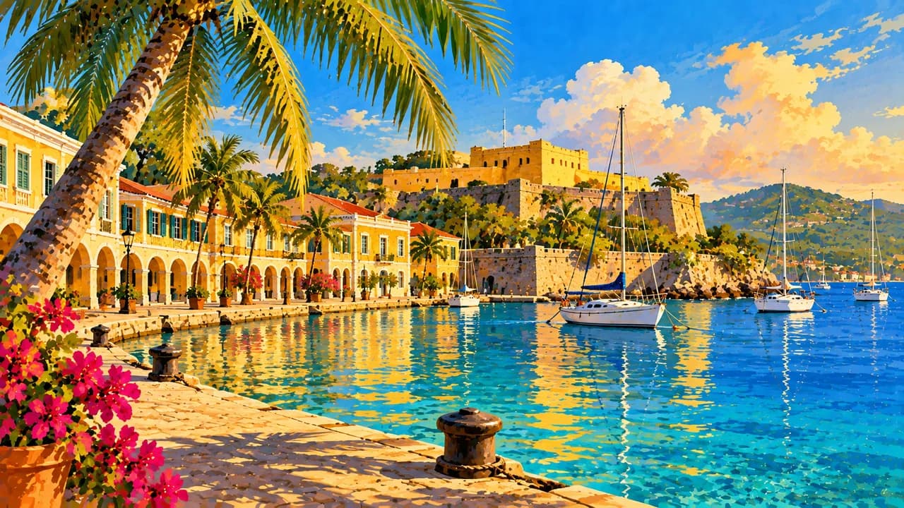
Saint Croix, the largest main island, has its own landscape and cultural identity. Christiansted's waterfront and Fort Christiansvaern contrast with Frederiksted's streets and western shore. Salt River Bay combines mangroves and marine habitats with evidence of indigenous settlement and European colonisation. Offshore, Buck Island Reef National Monument protects reef ecosystems and has a marked underwater trail, with access subject to park rules and sea conditions.
Afro-Caribbean traditions and Danish colonial history shape the islands without defining the whole of their living culture. Quelbe music, carnival celebrations, local arts and markets offer perspectives beyond cruise-port shopping. Fish and fungi, a cornmeal accompaniment, leafy kallaloo stew and johnnycakes express the islands' food traditions. Recipes and ingredients vary between cooks and communities.
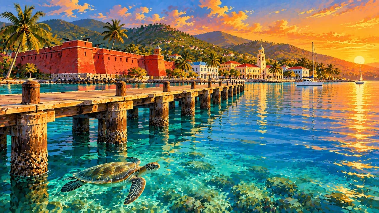
Plan flights and inter-island transfers separately, rather than assuming convenient connections between every island. Check storm forecasts, currents, trail conditions and protected-area guidance before excursions. Observe turtles from a distance, never touch or stand on coral, and choose water activities to match ability and local conditions.
AI edited
- 3
- Main islands Saint Thomas, Saint John and Saint Croix are the three main islands of this US territory. Water Island and smaller islands and cays also belong to it. This is not a count of administrative districts.
- ≈ 87,100
- Population The US Census counted 87,146 residents in 2020. The rounded figure is a historical census count, not a current population estimate.
- 347 km²
- Area UNdata lists a surface area of 347 km² for the United States Virgin Islands. Statistical land and water definitions can produce different figures.
- English
- Language English is the official language. Local varieties and expressions reflect the islands' distinct Caribbean culture.
- Creole & Spanish
- Other languages Local English-based Creole varieties and Spanish also form part of everyday communication. Language use varies by community and person.
- US dollar (USD)
- Currency The currency code is USD. Check payment options and card fees, rather than assuming every business accepts cards.
- A · B
- Socket types Plug types A and B at 60 Hz. Tourism guidance specifies 120 V, while some references use 110 V. Check the actual supply and device rating. An adaptor does not convert voltage or frequency.
- Charlotte Amalie
- Capital Charlotte Amalie is the territory's capital on Saint Thomas, with a working harbour, historic streets and Fort Christian.
- Left-hand traffic
- Driving side Traffic drives on the left. Check vehicle equipment, local rules and narrow, winding roads. Account for left-hand traffic when walking or cycling too.
- UTC−4
- Time zone Atlantic Standard Time at UTC−4 year-round, without daylight saving. Differences from browser and saved home time can change when those places switch clocks.
The US Virgin Islands on the map

Map data: geoBoundaries (CC BY 4.0), © OpenStreetMap contributors (ODbL), Natural Earth
Climate and best time to travel
December to April is often a relatively drier planning window, not a guarantee of sunshine, calm seas or clear underwater visibility. Rain, heat, wind and swell can affect outdoor trips throughout the year. The Atlantic hurricane season runs from June to November. Month labels are guidance, not promises of access or wildlife sightings. Check forecasts, local warnings, park rules and operator information before excursions.