Sint Eustatius
A forested volcanic crater, dry northern hills and protected underwater landscapes meet a trading-port heritage and living Caribbean traditions.
Worth coming back!
Wanderlama keeps growing with new destinations, helpful information and exciting features. Check back soon and discover what is new!
Travel to Sint Eustatius
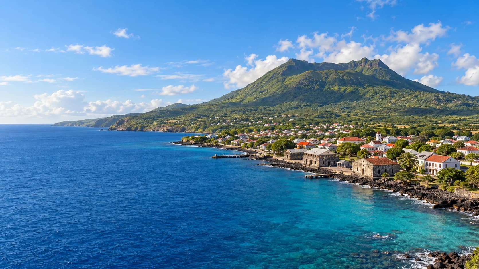
Sint Eustatius, commonly called Statia, is a volcanic island in the northeastern Caribbean and a public body of the Netherlands, often described as a special municipality. Oranjestad is its administrative centre. The island combines a prominent volcanic cone, dry northern hills and a coastline shaped by maritime trade. Dutch administration coexists with an English-speaking island culture.
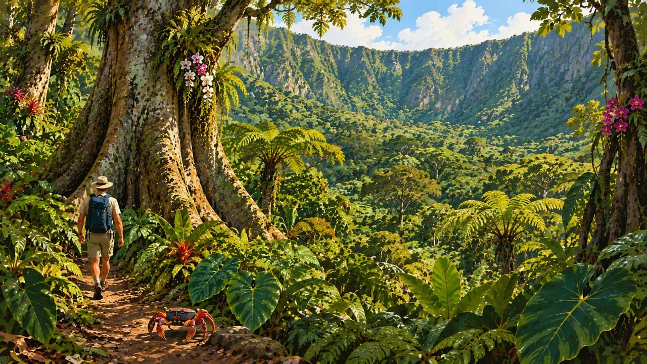
The dormant volcano The Quill dominates the south, with vegetation changing from drier woodland on its slopes to humid forest inside the crater. Trails connect the crater rim and Mazinga, the island’s highest point. The separate Boven area protects northern hills with cacti, acacias, rocky outcrops and open grassland. The Miriam C. Schmidt Botanical Garden adds another perspective on island plants.
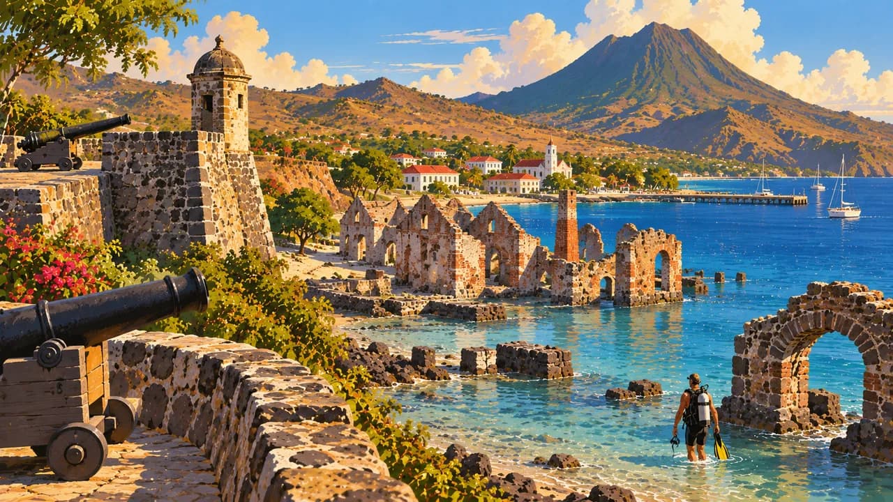
Oranjestad’s Upper Town overlooks Oranje Bay, while Lower Town preserves warehouse ruins from the island’s eighteenth-century trading port, known as the Golden Rock. Fort Oranje recalls the First Salute to the American brig Andrew Doria in 1776. The Honen Dalim synagogue ruins and Dutch Reformed church reveal other strands of the town’s history. Trade wealth also depended on slavery and the trafficking of enslaved Africans, whose experiences and emancipation are central to understanding Statia.
The St. Eustatius National Marine Park surrounds the island’s coastal waters, protecting reefs, underwater volcanic formations and maritime archaeology. Historic anchors and submerged remains in Oranje Bay complement shipwreck dive sites, including vessels deliberately sunk as artificial reefs. Corals and other marine habitats support fish, turtles and rays, without making wildlife encounters a certainty.
Dark volcanic beaches and rocky shores offer a different coastal landscape from broad resort sands. Carnival, Statia Day, Emancipation Day, music and storytelling connect public celebrations with community memory. Caribbean cooking includes fish, seafood, stews and johnnycakes. Together, the island’s natural environments, archaeological traces and living traditions give Statia a character extending beyond its volcano and diving.
AI edited
- Special municipality
- Political status Public body of the Caribbean Netherlands, commonly called a special municipality. Not an independent state or part of a Dutch province.
- ≈ 3,350
- Population CBS, 1 January 2026, 3,348 residents. Rounded to 3,350.
- 21 km²
- Area The National Office for the Caribbean Netherlands gives a land area of 21 km². The surrounding national marine park is a separate protected water area and is not added to the island’s land area.
- Dutch
- Language Dutch is the language of government administration. English is the main language of everyday life and the language of instruction in primary and secondary schools.
- English & Statian varieties
- Other languages English and local English-based varieties shape everyday island life. Spanish and other community languages add to the island’s linguistic diversity.
- US dollar (USD)
- Currency The currency is the United States dollar, code USD, despite the island’s status within the Netherlands. It is not the euro.
- A · B · C · F
- Socket types 110 V, 60 Hz. A/B are common, C/F also listed. An adaptor changes neither voltage nor frequency.
- Oranjestad
- Administrative centre Oranjestad is the administrative centre of Sint Eustatius. Upper Town stands above the waterfront of Lower Town and Oranje Bay. It is not the town of the same name on Aruba.
- Right-hand traffic
- Driving side Traffic drives on the right. The island’s short road network connects Oranjestad, the airport and other districts. Short distances do not imply that every trail or coastal area is accessible by car.
- UTC−4
- Time zone Sint Eustatius uses UTC−4 year-round, without daylight saving. Differences from browser time and the saved home location can change when those places switch clocks.
Sint Eustatius on the map

Map data: geoBoundaries (CC BY 4.0), © OpenStreetMap contributors (ODbL), Natural Earth
Climate and best time to travel
The climate is tropical and influenced by northeast trade winds. December to April is relatively drier, while May to November is wetter. The Atlantic hurricane season runs from June to November. The humid Quill crater contrasts with drier slopes and northern hills. Month labels guarantee neither clear views nor calm seas or trail access.