Anguilla
Pale-sand bays, offshore cays and salt ponds meet seafaring traditions, layered heritage and a distinctive island dining culture.
Worth coming back!
Wanderlama keeps growing with new destinations, helpful information and exciting features. Check back soon and discover what is new!
Travel to Anguilla
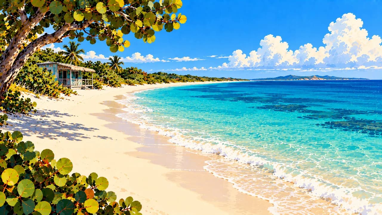
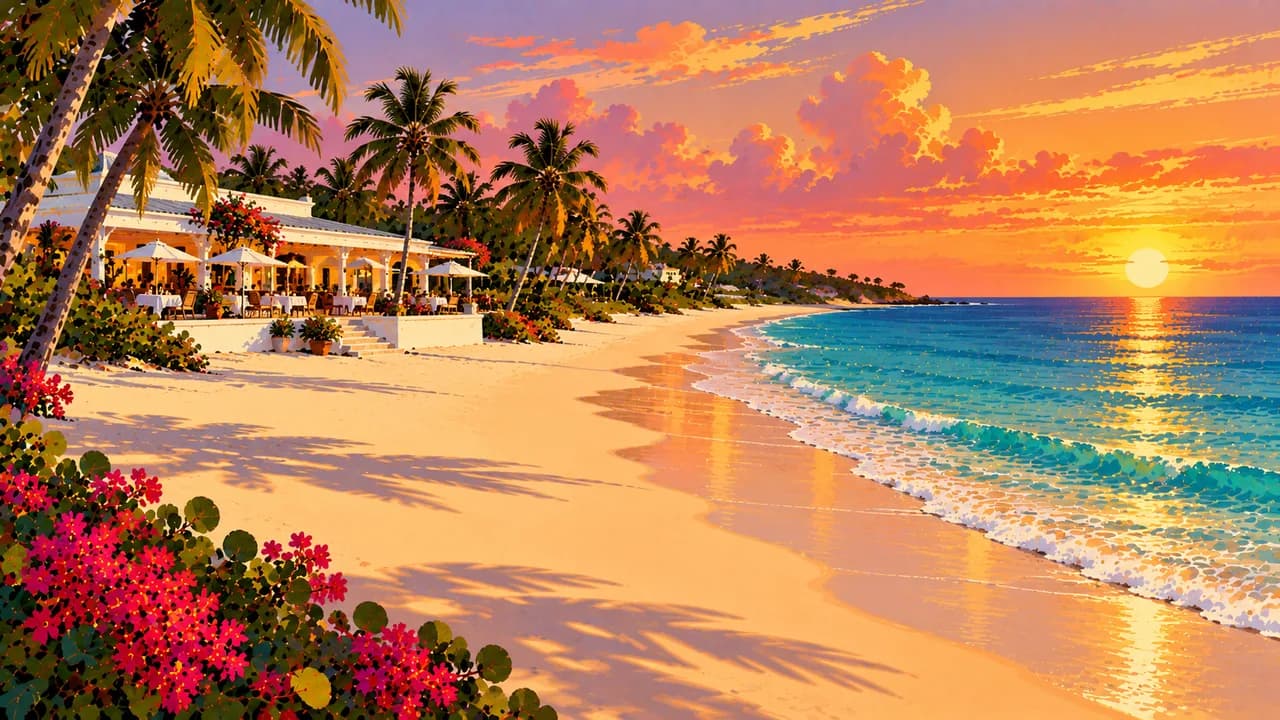
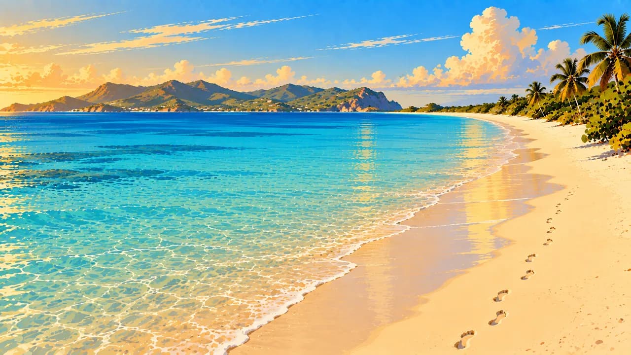
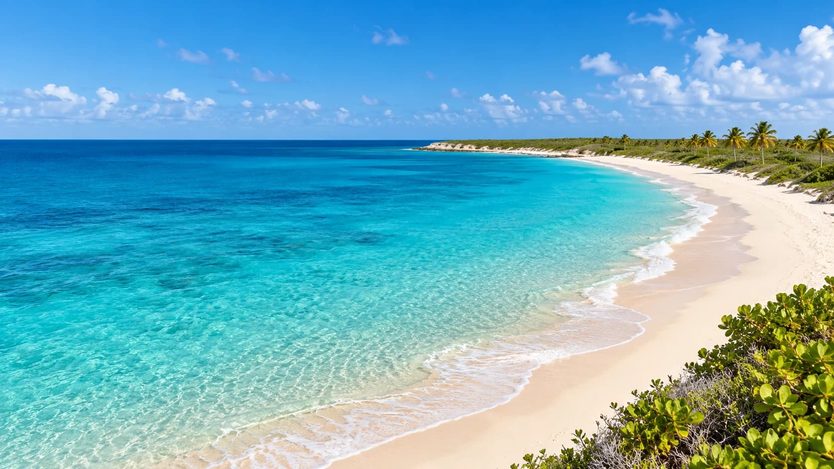
Anguilla is a low-lying British Overseas Territory in the northern Lesser Antilles, with dry coastal vegetation, long beaches and offshore cays. Its landscape differs from the steep volcanic islands elsewhere in the Caribbean. Shoal Bay East, Meads Bay and Rendezvous Bay offer distinct stretches of pale sand, while the western coast combines resort areas with smaller coves. Wind, swell and currents mean that clear turquoise water should not automatically be treated as safe for swimming.
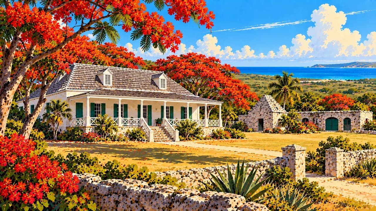
The Valley, the capital, adds government buildings, churches and local life beyond the beach resorts. Wallblake House recalls the plantation economy and the labour of enslaved Africans, not simply colonial architecture. Big Spring near Island Harbour and Fountain Cavern near Shoal Bay preserve evidence of indigenous ceremonial life and rock carvings. These sensitive heritage places should not be assumed open for unrestricted exploration.
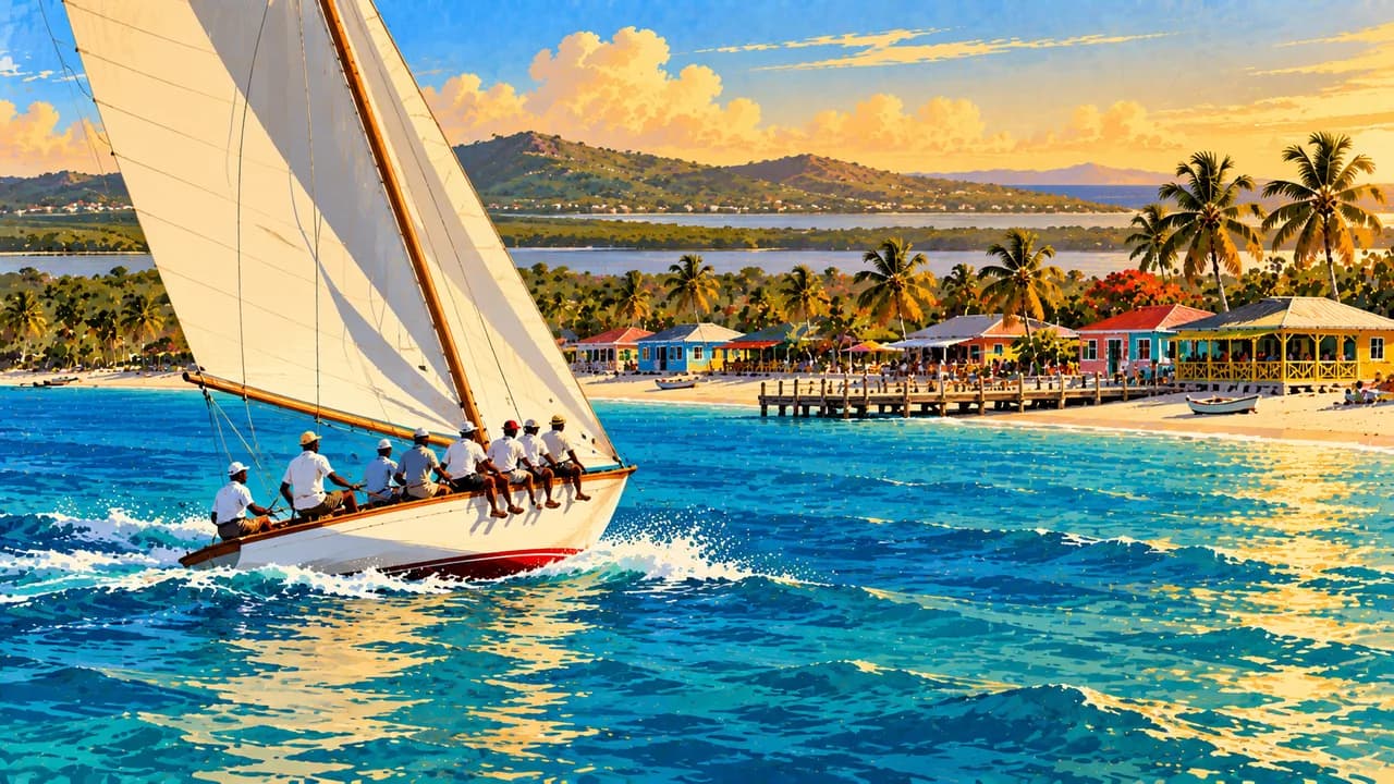
Island Harbour remains a fishing community, while Sandy Ground brings together a working harbour, beachside restaurants and music venues. Boat racing expresses the island's seafaring traditions and strong community loyalties. Reggae, calypso and soca, visual arts and local celebrations broaden the cultural picture. Johnny cakes, grilled fish and seafood connect beach-shack cooking with a wider dining scene shaped by local and international influences.
Away from the beaches, dry woodland and salt ponds support a different range of habitats. Wetlands such as East End Pond provide places for waterbirds, while offshore islands are important for nesting seabirds. Prickly Pear and Sandy Island offer coastal excursions and snorkelling possibilities, subject to sea conditions and conservation rules. Observe birds and marine animals from a distance, protect nesting areas and avoid touching coral.
Plan arrival flights, transfers through Saint Martin or Sint Maarten and local transport separately. Confirm ferry terminals, schedules, entry requirements and return connections rather than relying on a fixed crossing time. Check storm forecasts, access restrictions and seasonal opening before committing to boat trips or remote outings.
AI edited
- UK territory
- Political status Anguilla is a self-governing British Overseas Territory, not an independent country. The main island and offshore cays form one territory.
- ≈ 16,000
- Population Anguilla's Statistics Department reports an estimated population of 16,010 for December 2024. The rounded figure is a dated estimate, not a census result or live population count.
- 91 km²
- Area UNdata lists Anguilla's surface area as 91 km². Statistical land and water definitions can produce different figures.
- English
- Language English is the official language and is used in government, education and visitor services.
- Local English varieties
- Other languages Everyday English includes local expressions and ways of speaking. Listen respectfully and ask if an unfamiliar expression needs explaining.
- East Caribbean dollar (XCD)
- Currency The currency code is XCD, often written EC$. US dollars are widely accepted, but confirm which currency prices and change use, along with payment options and fees.
- A · B
- Socket types Plug types A and B, typically 110 V and 60 Hz. Check the actual supply and device rating. An adaptor changes neither voltage nor frequency.
- The Valley
- Capital The Valley is the administrative and commercial centre, with churches, everyday local life and Wallblake House's plantation heritage.
- Left-hand traffic
- Driving side Traffic drives on the left. Check local driving-permit requirements, vehicle equipment and road conditions. Account for left-hand traffic when walking or cycling too.
- UTC−4
- Time zone Atlantic Standard Time at UTC−4 year-round, without daylight saving. Differences from browser and saved home time can change when those places switch clocks.
Anguilla on the map

Map data: geoBoundaries (CC BY 4.0), © OpenStreetMap contributors (ODbL), Natural Earth
Climate and best time to travel
December to April is a useful relatively drier planning window, with February and March often particularly dry. Sunshine, calm seas and underwater visibility are not guaranteed. The Atlantic hurricane season runs from June to November, while wind and swell can affect trips outside that period too. Month labels are orientation, not promises of access, events or wildlife sightings. Check forecasts, protected-area rules, operator information and seasonal opening.