Trinidad and Tobago
Rainforests, bird-rich wetlands and reef-fringed bays meet carnival rhythms, diverse cultural traditions and the flavours of two contrasting islands.
Worth coming back!
Wanderlama keeps growing with new destinations, helpful information and exciting features. Check back soon and discover what is new!
Travel to Trinidad and Tobago
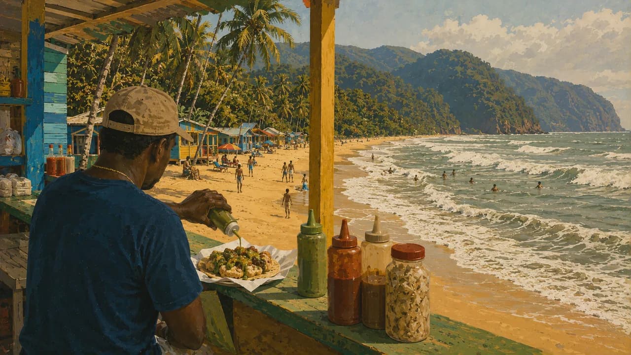
Trinidad and Tobago is a twin-island nation near Venezuela, combining forested mountains, coastal wetlands, Caribbean beaches and a richly layered cultural life. Port of Spain, the capital on Trinidad, brings together markets, historic architecture and a lively music scene. Chaguaramas adds wooded trails and coastal recreation on the northwestern peninsula. Maracas Bay contrasts with the city through its broad beach, green hills and shoreline food stalls.
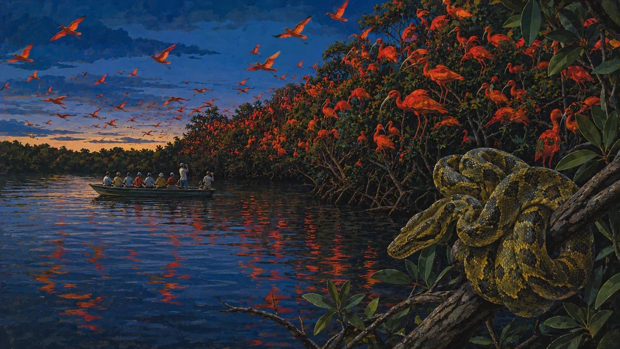
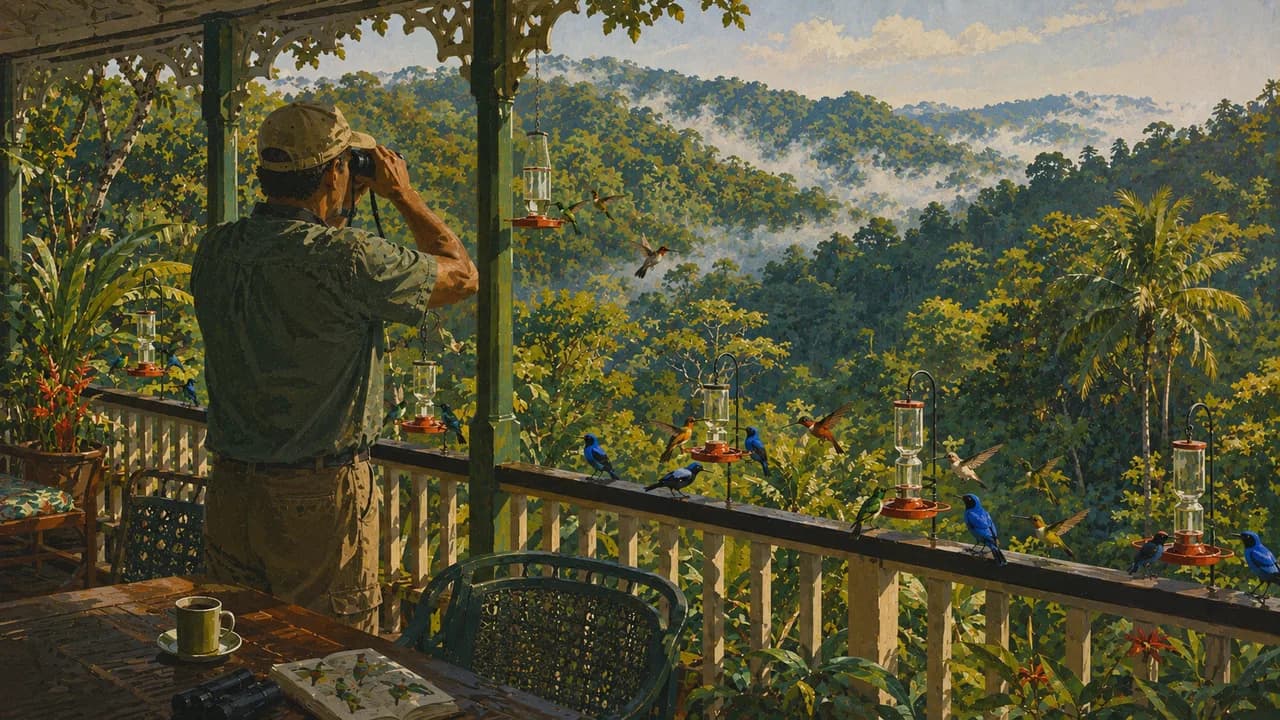
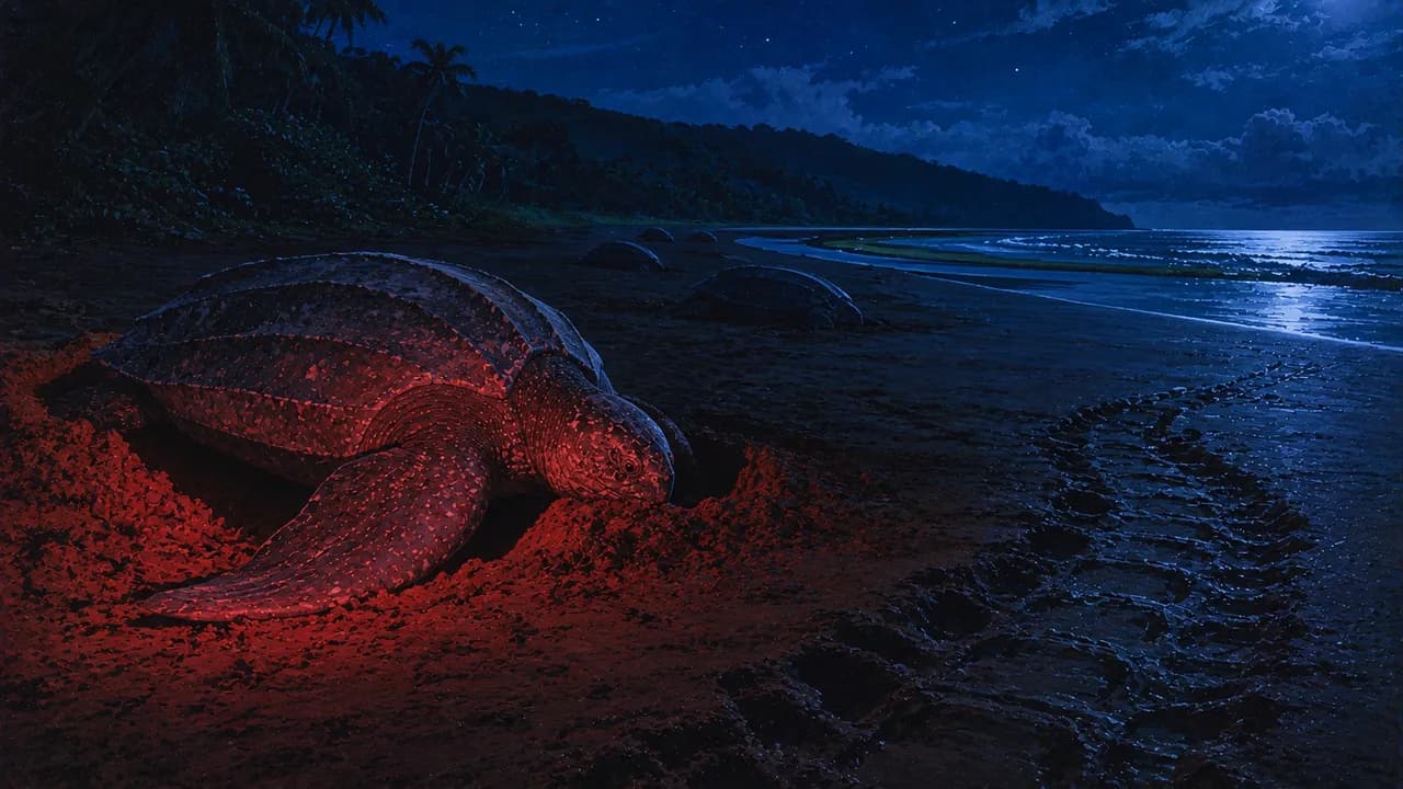
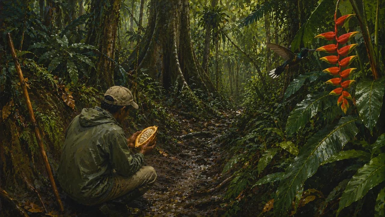
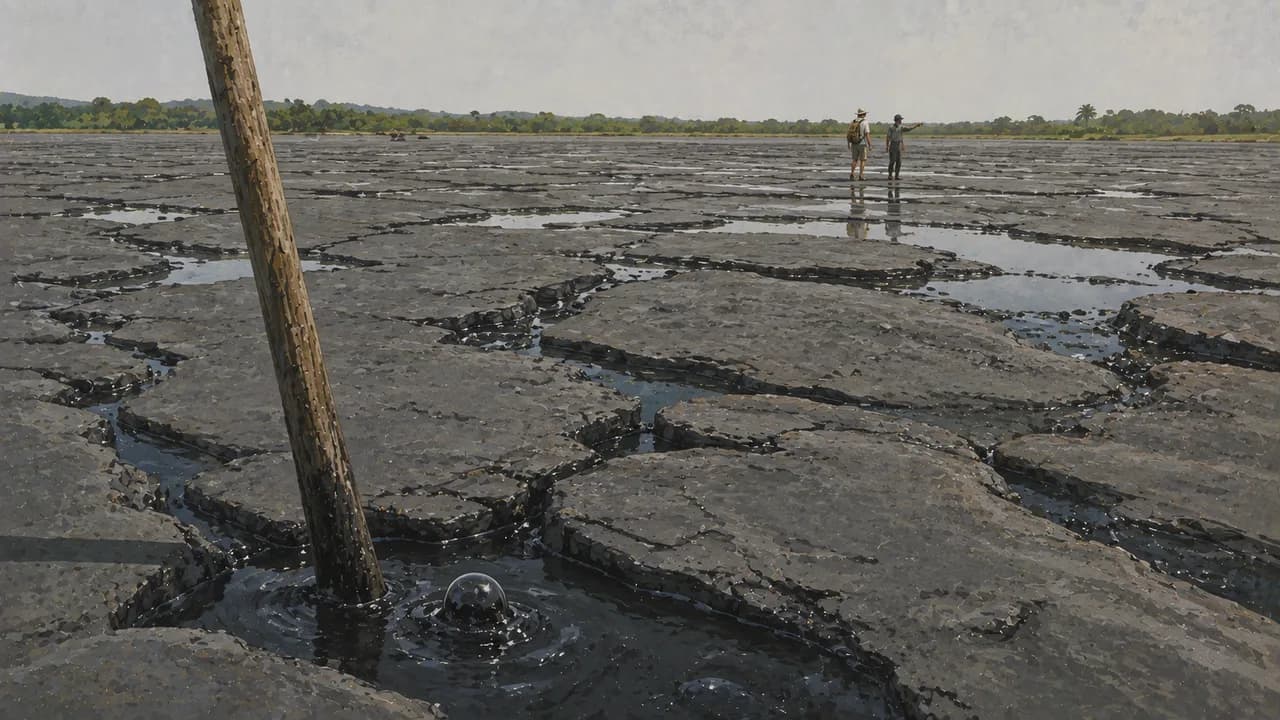
Trinidad’s Caroni Swamp shelters mangroves and scarlet ibis, while the Asa Wright Nature Centre introduces the birdlife of the Northern Range’s forested valleys. Grande Riviere’s northern shoreline is nesting habitat for leatherback turtles. These landscapes reveal connections between rainforest, rivers and sea rather than guaranteeing wildlife encounters. In the southwest, Pitch Lake at La Brea adds a distinctive geological landscape formed by natural asphalt.
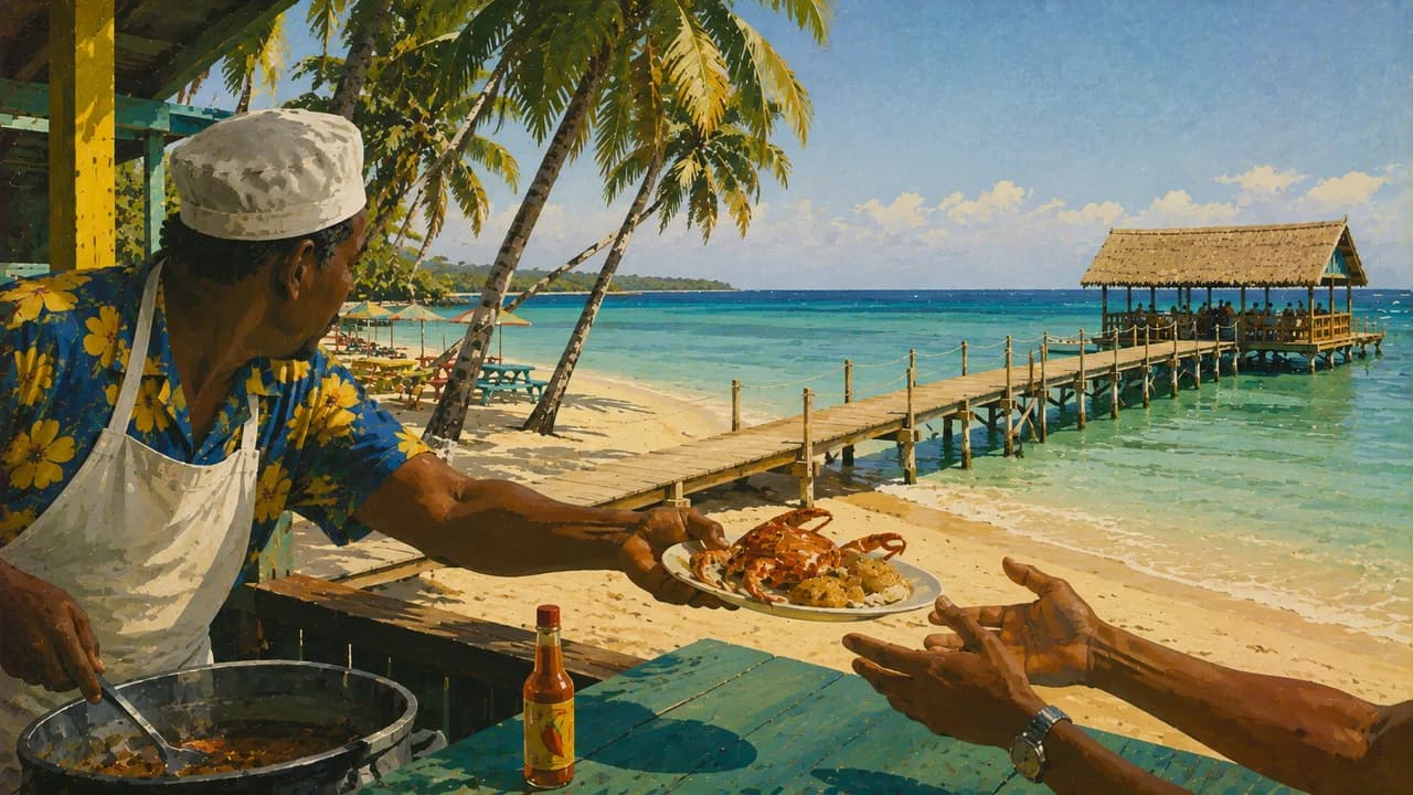
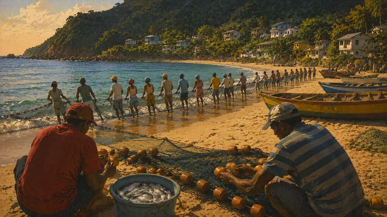
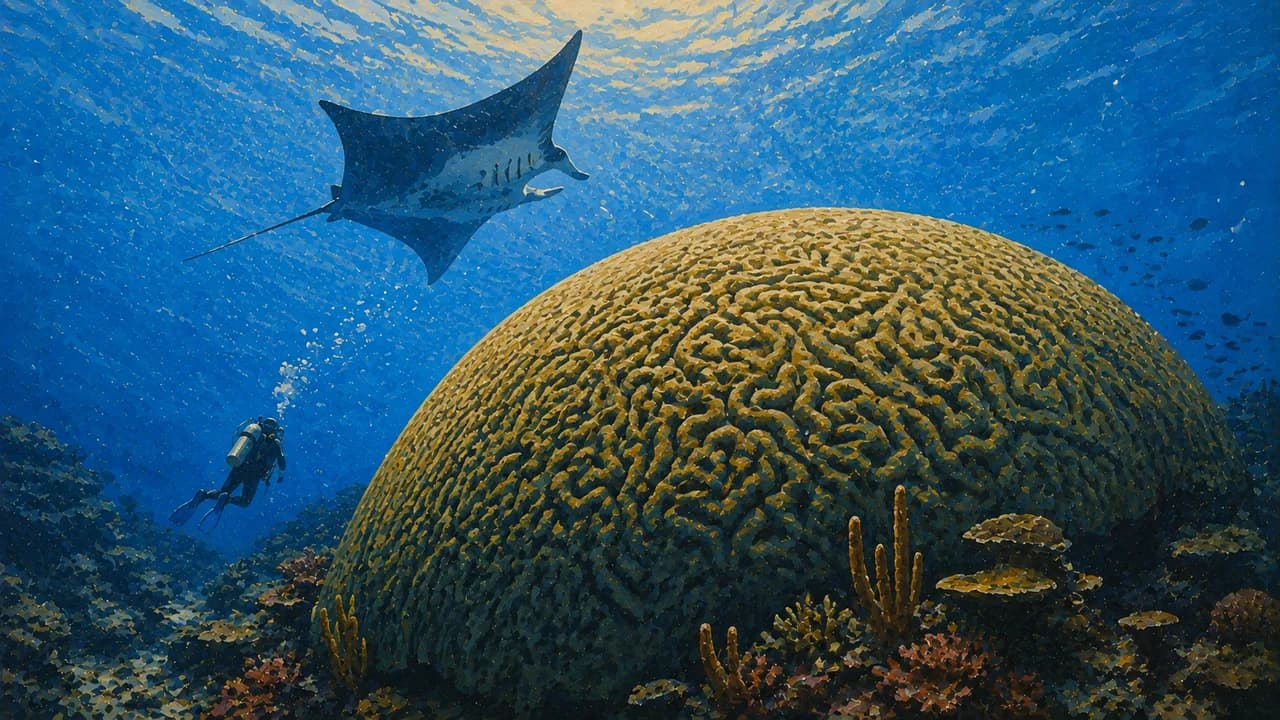
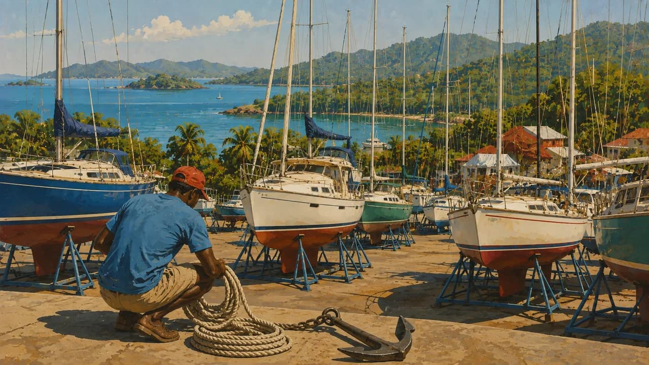
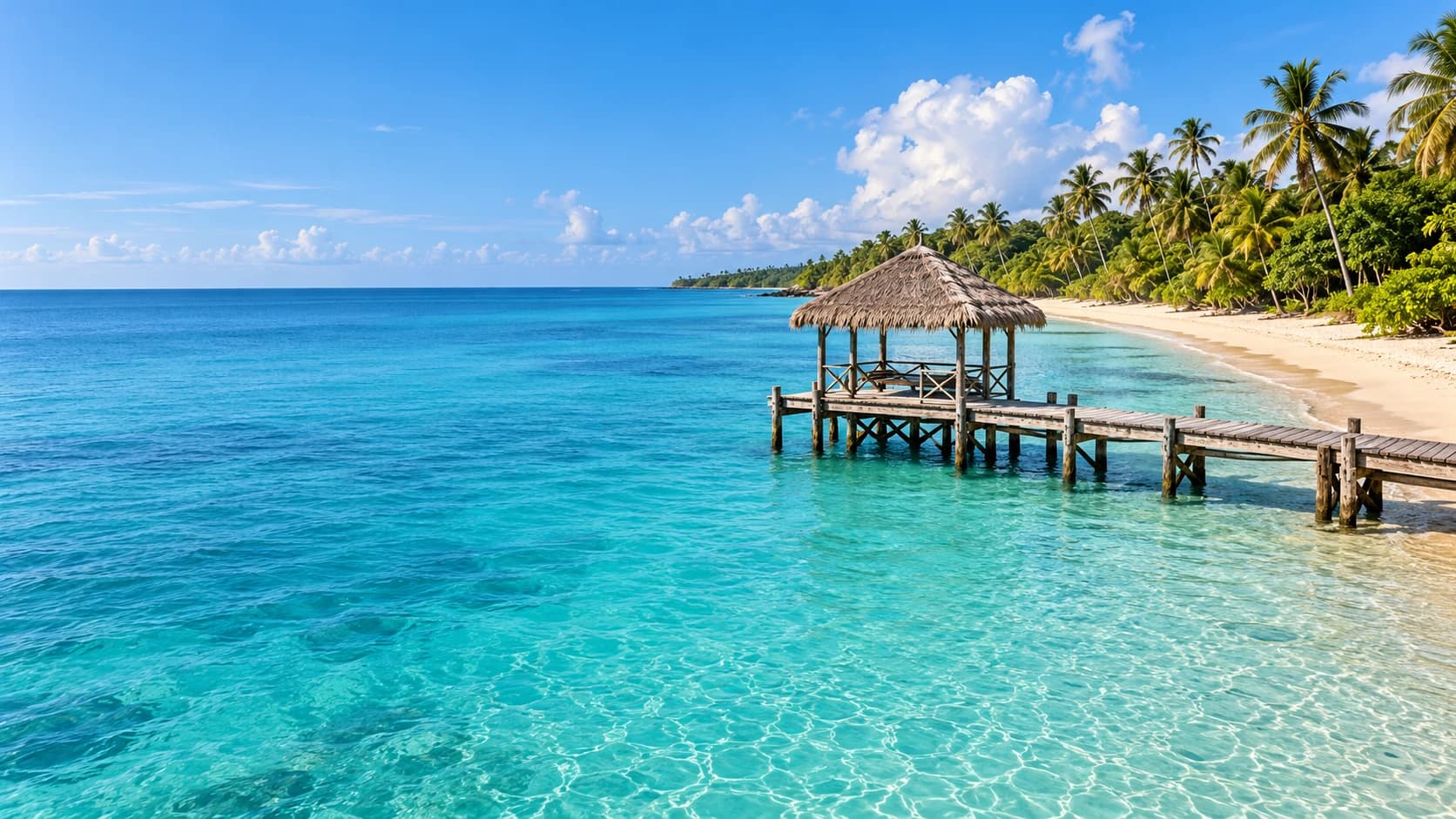
On Tobago, Crown Point provides a southwestern base near Store Bay and Pigeon Point, whose palm-lined sands and thatched jetty frame the coast. Buccoo combines village culture with offshore reefs and shallow marine landscapes. Farther along the Caribbean coast, Castara connects a fishing community, small guesthouses and a bay backed by forested hills.
The Main Ridge Forest Reserve protects tropical forest within UNESCO’s North-East Tobago Biosphere Reserve, which extends beyond the forest into coastal and marine environments. Trails and birdwatching offer a different perspective from the southern beaches. At Speyside, diving areas and boat excursions towards Little Tobago link the Atlantic coast with offshore seabird habitats.
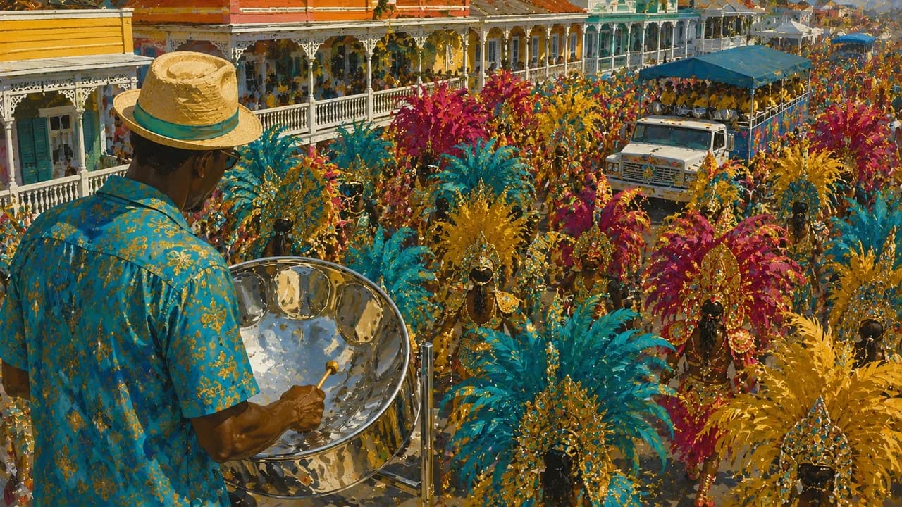
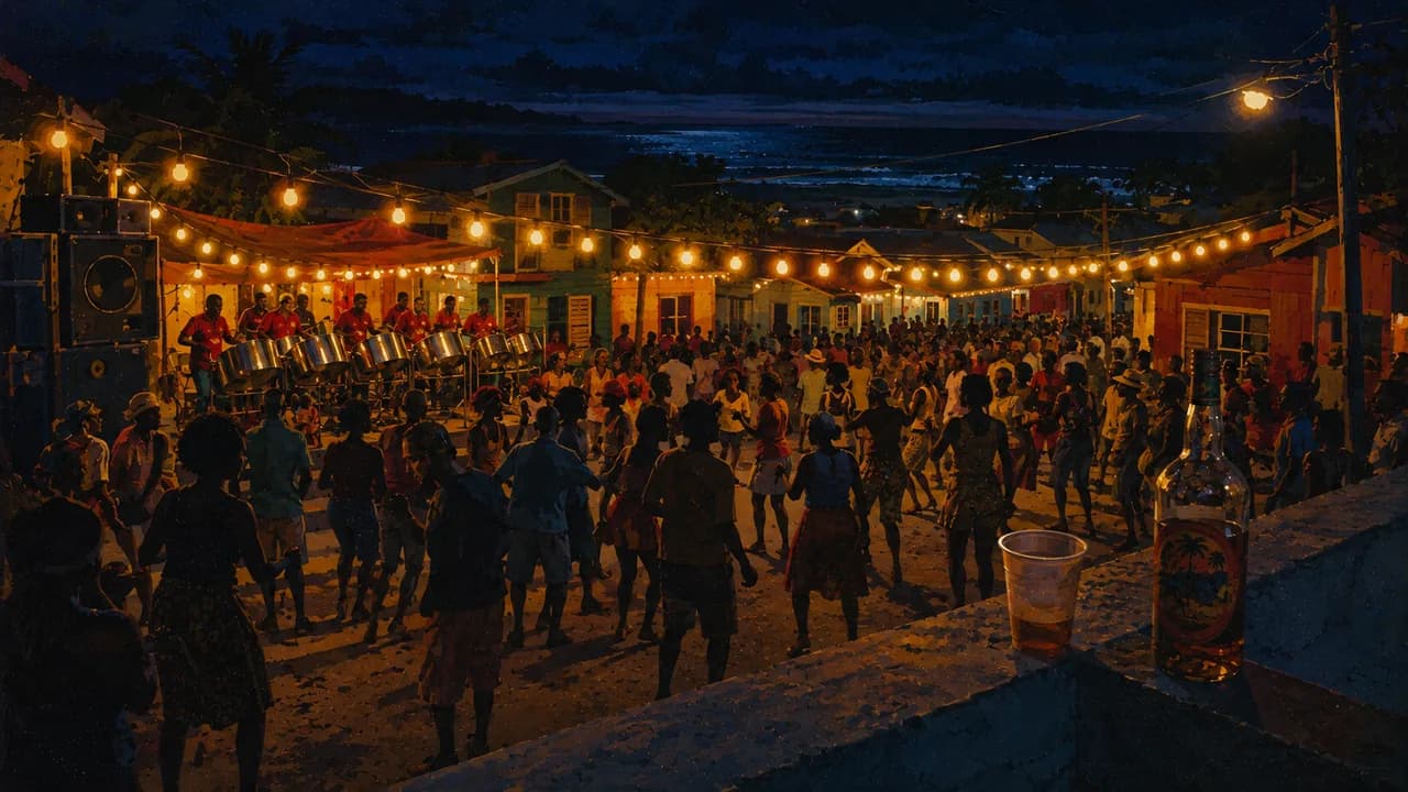
Indigenous heritage, European colonial rule, African enslavement and Indian indentured labour all contribute to the country’s history and cultural diversity. Calypso, soca and the steelpan developed here and shape its musical identity. Carnival brings costumes and street performance, while religious traditions and community festivals express other strands of island life. Food reflects these connections through doubles with curried chickpeas, roti, callaloo and Tobago’s curried crab and dumplings, alongside seafood and tropical produce.
AI edited
- 2
- Main islands The country consists of Trinidad and Tobago and smaller offshore islands. The count refers only to the two main islands.
- ≈ 1,367,800
- Population CSO provisional mid-year estimate at 30 June 2025, 1,367,764, based on the 2011 census. Rounded to 1,367,800.
- 5,128 km²
- Area Approximate combined area of Trinidad, Tobago and their smaller islands, excluding surrounding territorial waters.
- English
- Language English is the official language, used in administration, education and formal communication.
- English-based Creoles
- Other languages English-based Creoles are part of everyday speech, music and storytelling on both islands. They are not additional official languages.
- Trinidad and Tobago dollar (TTD)
- Currency The currency is the Trinidad and Tobago dollar, code TTD, not the East Caribbean dollar.
- A · B
- Socket types Types A and B, 115 V, 60 Hz. Check appliance voltage compatibility. A plug adaptor does not convert voltage.
- Port of Spain
- Capital Port of Spain, on Trinidad’s northwestern coast, is the national capital and an important centre for music and carnival.
- Left-hand traffic
- Driving side Traffic drives on the left on both islands. Forest and coastal roads can be narrow and winding.
- UTC−4
- Time zone Atlantic Standard Time throughout the year, without daylight saving. Differences from browser and home time can change when those places switch clocks.
Trinidad and Tobago on the map

Map data: geoBoundaries (CC BY 4.0), © OpenStreetMap contributors (ODbL), Natural Earth
Climate and best time to travel
The islands have a tropical climate, with a broadly drier January–May season and wetter June–December season. Forested hills receive more rain than exposed coastal areas. Outdoor month labels indicate the drier window, not guaranteed weather or sea conditions. Turtle months reflect the nesting season, while culture and food can be explored year-round.