Saint Lucia
Volcanic peaks, rainforest trails and sheltered bays meet Creole culture, cocoa traditions and the flavours of the Caribbean.
Worth coming back!
Wanderlama keeps growing with new destinations, helpful information and exciting features. Check back soon and discover what is new!
Travel to Saint Lucia
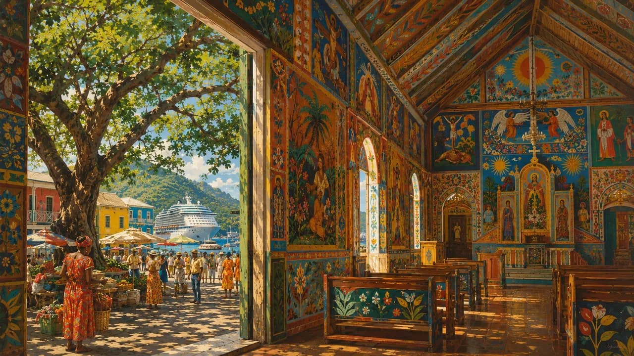
Saint Lucia is a volcanic island in the Lesser Antilles, combining forested mountains, sheltered Caribbean bays and a more exposed Atlantic coast. Its capital Castries brings together a working harbour, lively markets and colourful streets beneath the historic heights of Morne Fortune. African, European and Caribbean influences shape the island’s Creole identity. English and the French-based Creole language Kwéyòl are part of everyday life.
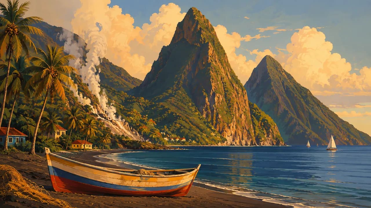
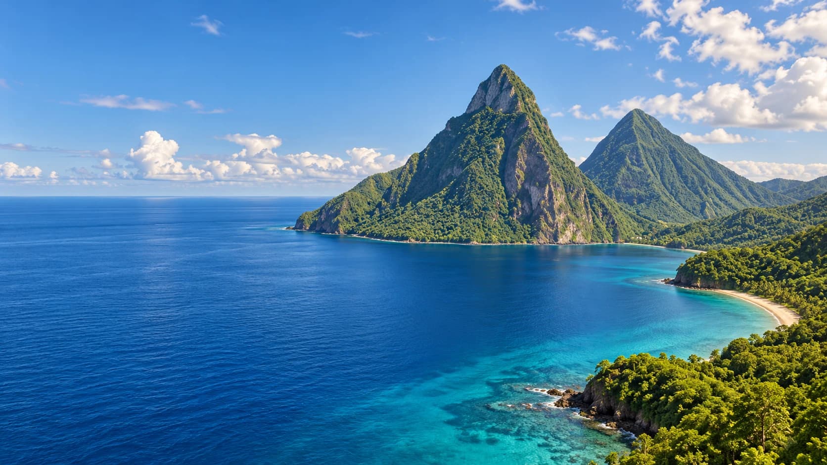
Near Soufrière, Gros Piton and Petit Piton rise above the southwestern coast. The UNESCO-listed Pitons Management Area protects more than these two peaks, encompassing forests, coastal habitats, coral reefs and geothermal features. Sulphur Springs introduces the island’s volcanic origins through steaming ground and mineral-rich waters, with mud-bathing facilities nearby. Diamond Falls Botanical Gardens adds tropical planting, a waterfall and historic mineral baths to the surrounding landscape.
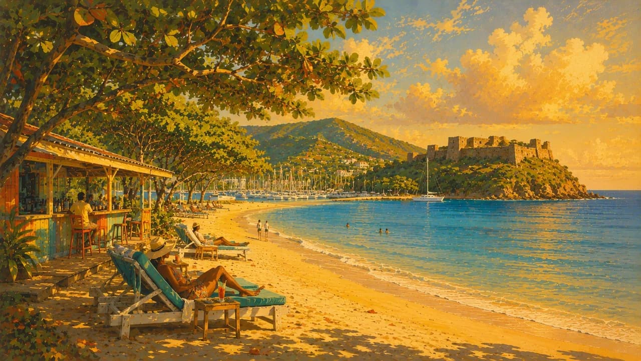
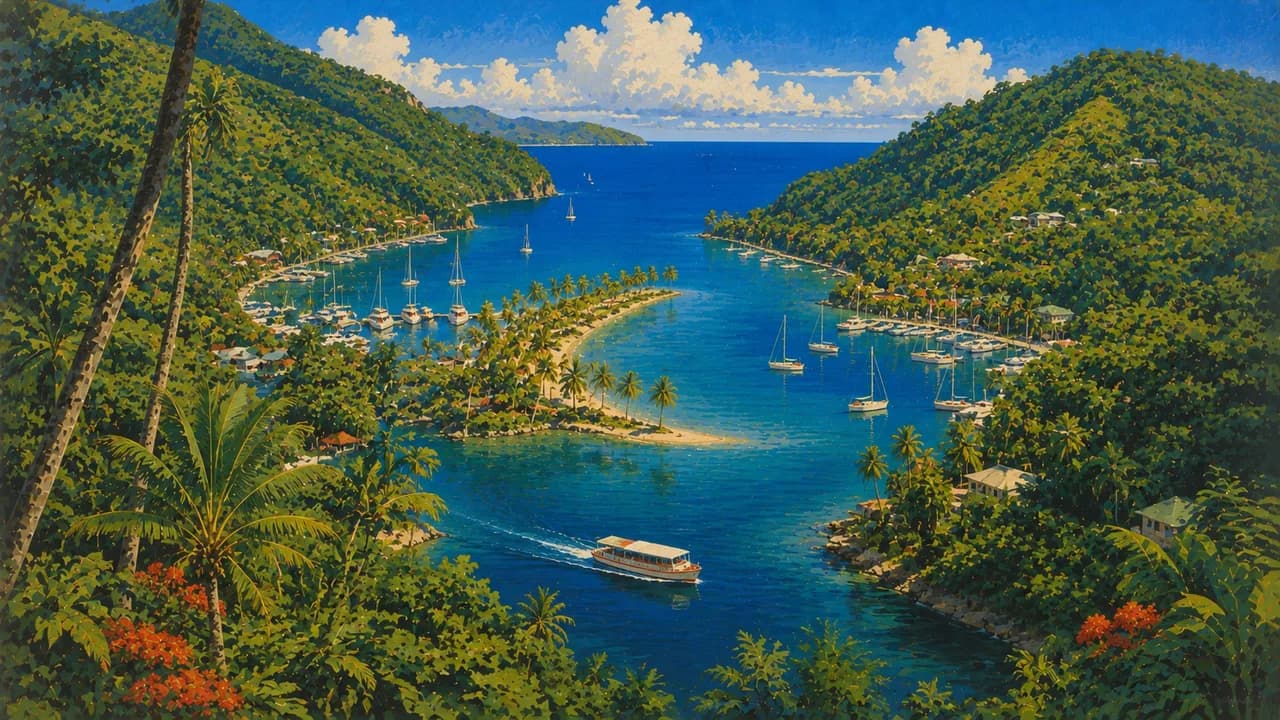
In the north, Rodney Bay combines Reduit Beach with a marina, restaurants and water sports. Nearby Gros Islet is associated with street food and music, while Pigeon Island preserves military ruins and Fort Rodney above the sea. Marigot Bay offers a contrasting setting of wooded slopes and a sheltered sailing anchorage along the west coast.
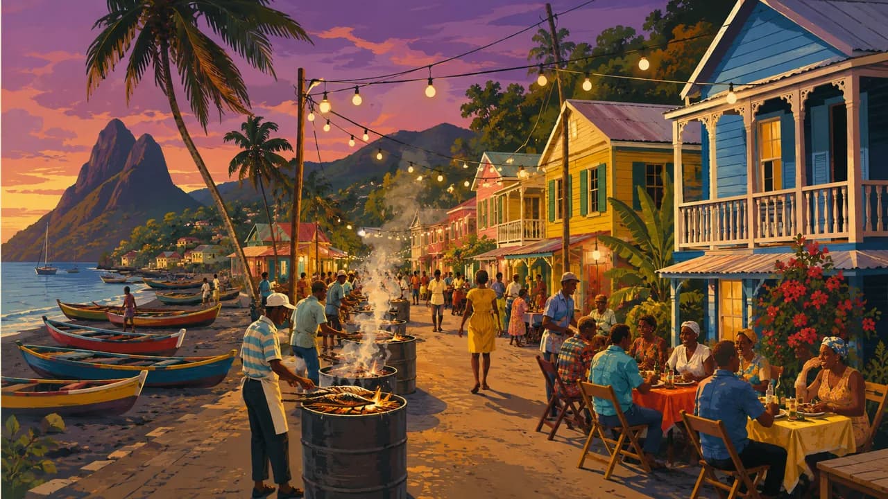
Anse La Raye retains the character of a fishing village, with boats along the waterfront and seafood central to local cooking. Farther south, Vieux Fort combines an old town with coastal views and the open shores around Sandy Beach. Inland, rainforest trails, waterfalls and zip lines reveal the mountainous interior, while cocoa estates connect farming traditions with chocolate production.
The island’s history includes Indigenous settlement, French and British colonial rule, and plantation economies built on enslaved African labour. Carnival, jazz and Jounen Kwéyòl express different strands of its contemporary culture through music, dress and celebration. Creole cooking brings together fish, root vegetables, tropical fruit and spices. Green fig and saltfish, the national dish, uses green bananas rather than figs, served with salted fish.
AI edited
- 10
- Districts Saint Lucia is an independent island state divided into ten districts.
- ≈ 172,900
- Population CSO provisional census resident population on 12/13 March 2022, 172,948. Rounded to 172,900, excluding visiting non-residents. Not a current estimate.
- 617 km²
- Area Approximate surface area of Saint Lucia, excluding surrounding territorial waters.
- English
- Language English is the official language, used in administration, education and formal communication.
- Kwéyòl
- Other languages Saint Lucian Creole, or Kwéyòl, is a French-based Creole used in everyday life, storytelling, music and cultural traditions.
- East Caribbean dollar (XCD)
- Currency The official currency is the East Caribbean dollar, code XCD, shared with other Eastern Caribbean states.
- G
- Socket type 230 V, 50 Hz. Type G has three rectangular pins. An adaptor changes neither voltage nor frequency.
- Castries
- Capital Castries is the capital and principal administrative and commercial centre, with a harbour on the northwestern coast.
- Left-hand traffic
- Driving side Traffic drives on the left. Many roads through the mountainous interior are winding.
- UTC−4
- Time zone Atlantic Standard Time throughout the year, without daylight saving. Differences from browser and home time can change when those places switch clocks.
Saint Lucia on the map

Map data: geoBoundaries (CC BY 4.0), © OpenStreetMap contributors (ODbL), Natural Earth
Climate and best time to travel
Saint Lucia has a tropical maritime climate. Coastal stations have a drier December–May season and wetter June–November season, while the mountainous interior receives more rain. December–April is the broad activity window for beaches, hiking and marine outings. Month labels do not guarantee dry trails or calm seas.