Dominica
Volcanic peaks, rainforest trails and bubbling reefs meet riverside villages, living Kalinago traditions and vibrant Creole culture.
Worth coming back!
Wanderlama keeps growing with new destinations, helpful information and exciting features. Check back soon and discover what is new!
Travel to Dominica
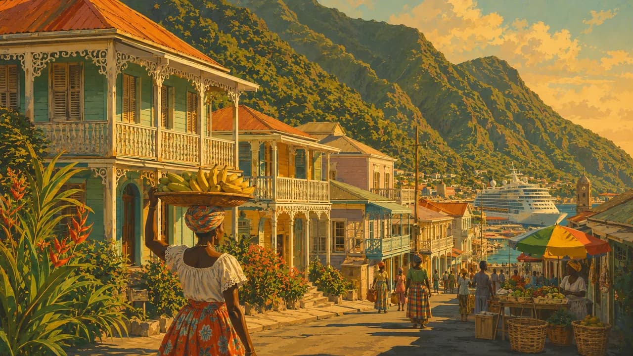
Dominica combines rainforest, volcanic mountains and river valleys between Guadeloupe and Martinique in the Lesser Antilles. Known as the Nature Island, it offers a different Caribbean experience from the region’s large beach resorts. The capital Roseau brings together colourful wooden houses, a waterfront, produce markets and botanical gardens. Its streets reveal French and British colonial influences alongside living Creole culture.
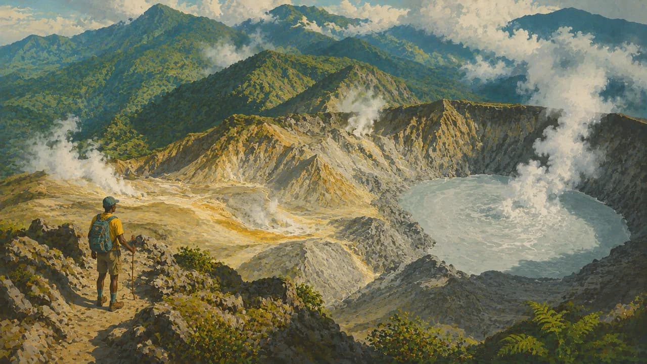
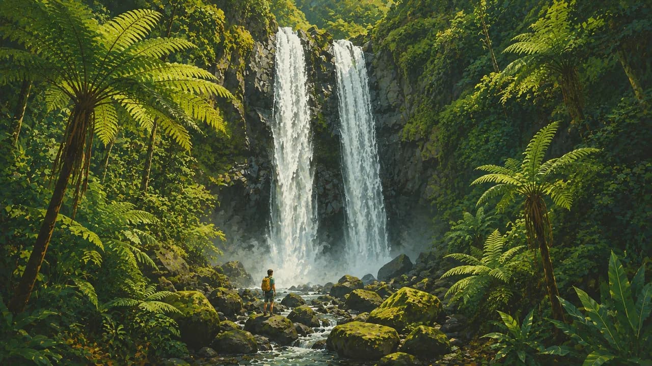
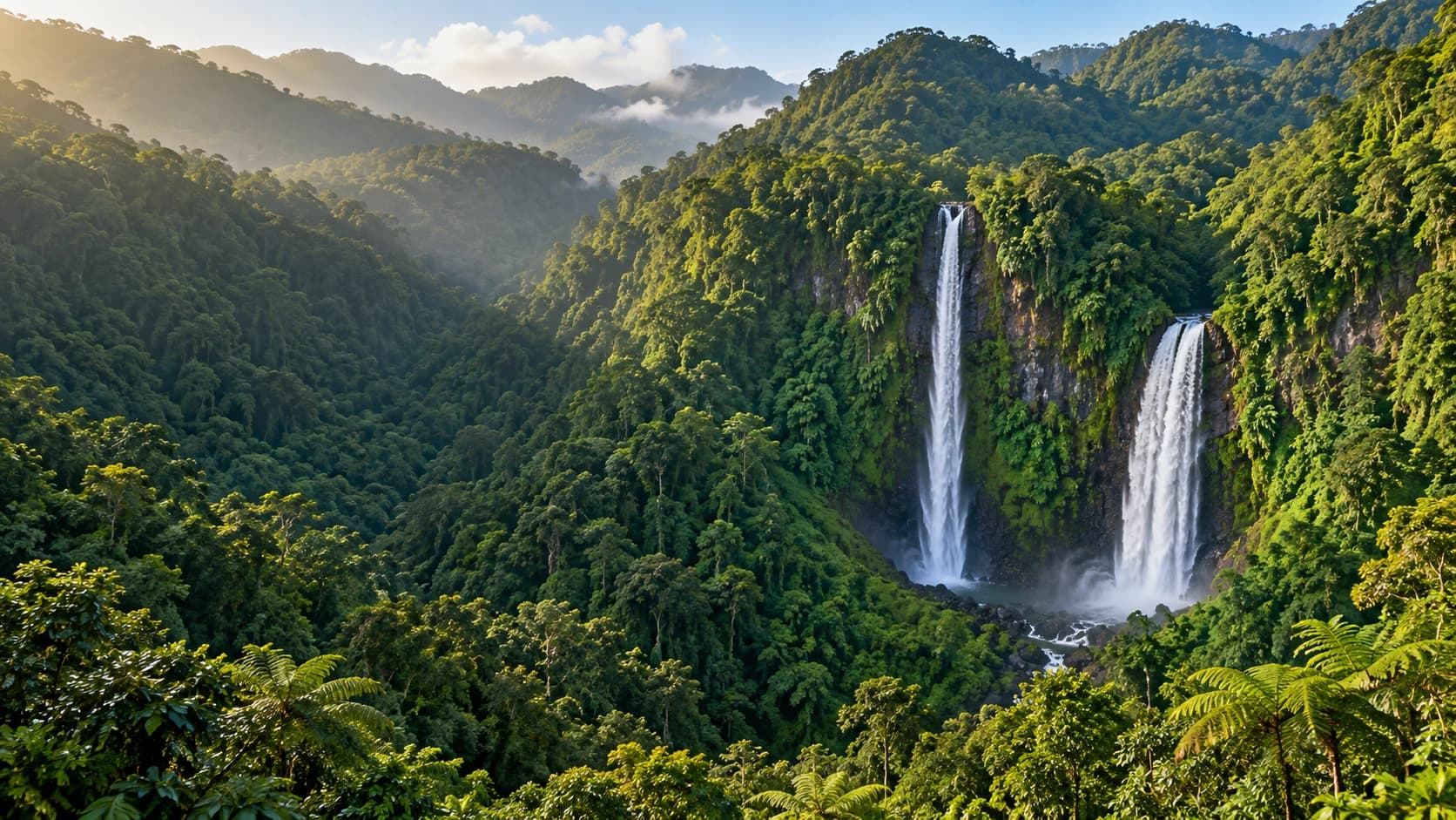
Morne Trois Pitons National Park protects a UNESCO-listed volcanic landscape of tropical forest, lakes and geothermal features. The demanding hike to Boiling Lake passes through the steaming Valley of Desolation. Emerald Pool, Titou Gorge and the twin Trafalgar Falls add contrasting waterfall and river scenery. Nearby Wotten Waven is known for its hot mineral springs. The Waitukubuli National Trail links southern Scotts Head with northern Cabrits through mountain landscapes and villages.
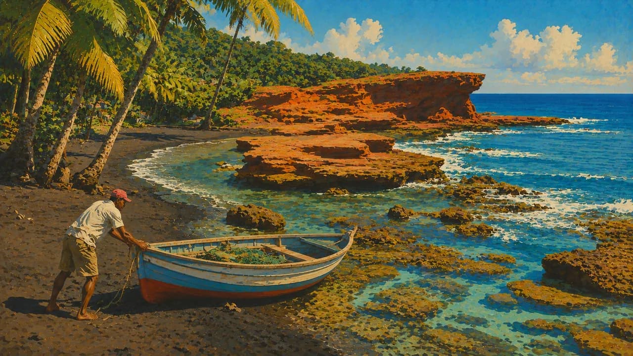
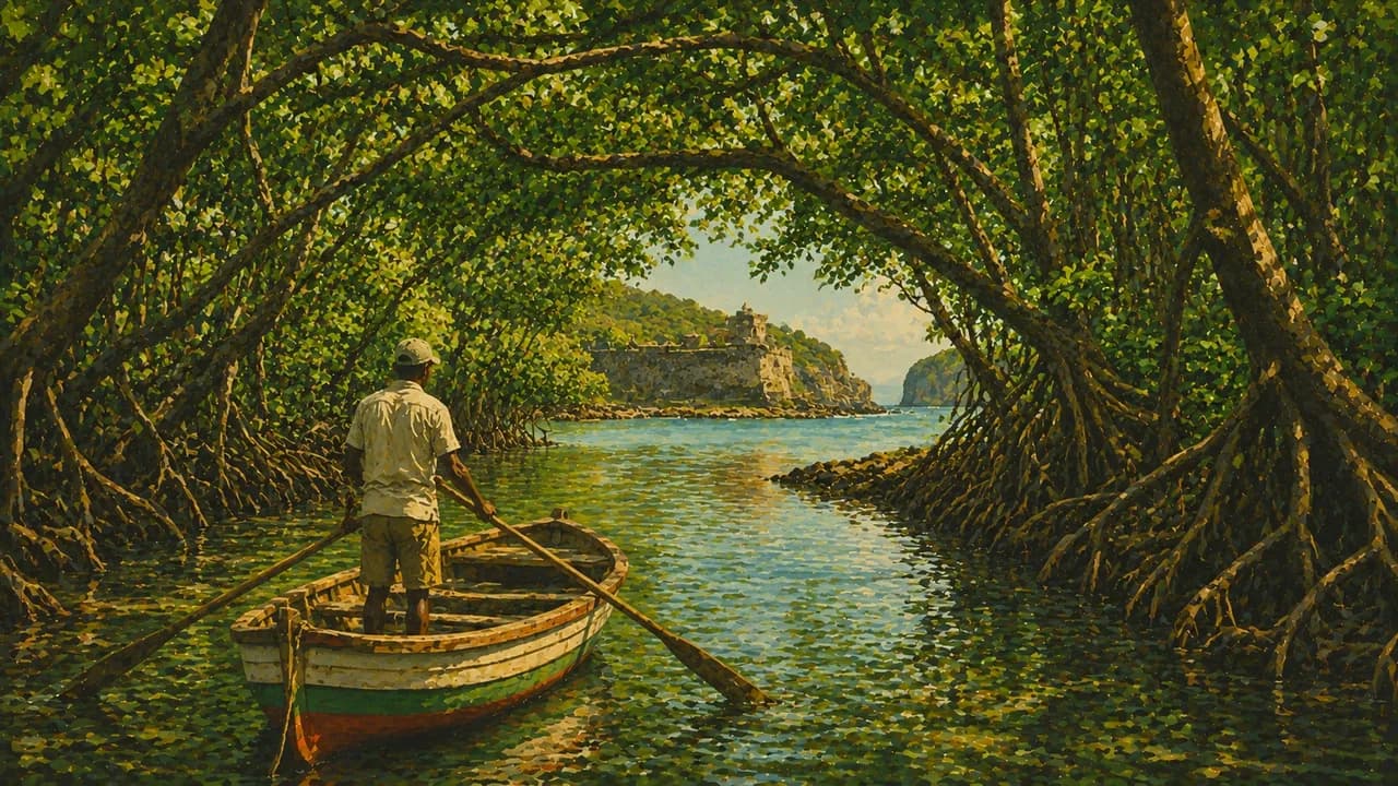
Around Portsmouth, Cabrits National Park combines wooded headlands with Fort Shirley and the island’s colonial history. Rowboat trips along the Indian River reveal shaded coastal wetlands and impressive buttressed trees. Calibishie introduces the northeast coast, with the sculpted Red Rocks and nearby palm-fringed Batibou Beach. Mero’s grey volcanic sand offers another contrast to the island’s rugged shores.
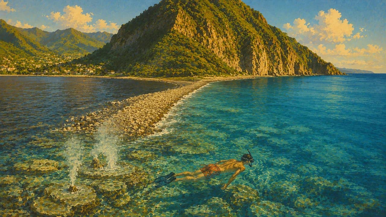
Soufrière and Scotts Head overlook a marine reserve with reefs and steep underwater walls for diving and snorkelling. At Champagne Reef, bubbles rise from geothermal vents in the seabed. Resident sperm whales inhabit the deep offshore waters throughout the year, although encounters are never guaranteed. The coast complements inland hiking rather than defining the entire island experience.
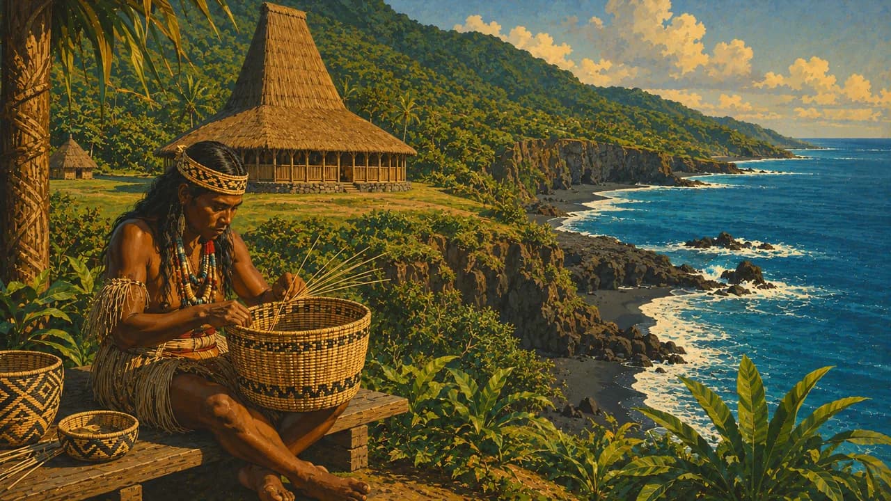
The Kalinago Territory is home to an Indigenous community whose living traditions include basket weaving, canoe building and cassava bread. Waitukubuli is the Kalinago name for the island. Creole language, bouyon music, carnival and the World Creole Music Festival express further strands of Dominican identity. Callaloo soup, made with dasheen leaves and coconut milk, joins fresh fish, root vegetables and tropical fruit in local cooking.
AI edited
- 10
- Parishes Dominica is divided into ten parishes. Roseau lies in Saint George, while Portsmouth is in Saint John.
- ≈ 66,200
- Population Population estimate for 2024, about 66,200, reported by Destatis. This is an estimate, not a census total.
- 751 km²
- Area Approximate surface area of Dominica, excluding surrounding territorial waters.
- English
- Language English is the official language, used in administration, education and formal communication.
- Kwéyòl
- Other languages Dominican Kwéyòl is a French-based Creole spoken in everyday life and an important part of the island’s cultural identity.
- East Caribbean dollar (XCD)
- Currency East Caribbean dollar, code XCD, also written EC$. Shared with other members of the Eastern Caribbean Currency Union.
- D · G
- Socket types 230 V, 50 Hz. Types D and G are used. An adaptor changes neither voltage nor frequency.
- Roseau
- Capital Roseau is the capital on the southwest coast, with markets, wooden houses and botanical gardens.
- Left-hand traffic
- Driving side Traffic drives on the left throughout Dominica.
- UTC−4
- Time zone Atlantic Standard Time throughout the year, without daylight saving. Differences from browser and home time can change when those places switch clocks.
Dominica on the map

Map data: geoBoundaries (CC BY 4.0), © OpenStreetMap contributors (ODbL), Natural Earth
Climate and best time to travel
Dominica has a humid tropical climate. December to May is generally drier, while June to November is wetter. Mountain forests receive rain throughout the year. Sheltered western bays contrast with the Atlantic-facing east. Month labels indicate broad seasonal windows, not guaranteed trail, sea or wildlife conditions.