Faroe Islands
Føroyar · Færøerne
Green mountains, sea cliffs and turf-roofed villages meet seabird colonies, living maritime traditions and a distinctive island food culture.
Worth coming back!
Wanderlama keeps growing with new destinations, helpful information and exciting features. Check back soon and discover what is new!
Travel to the Faroe Islands
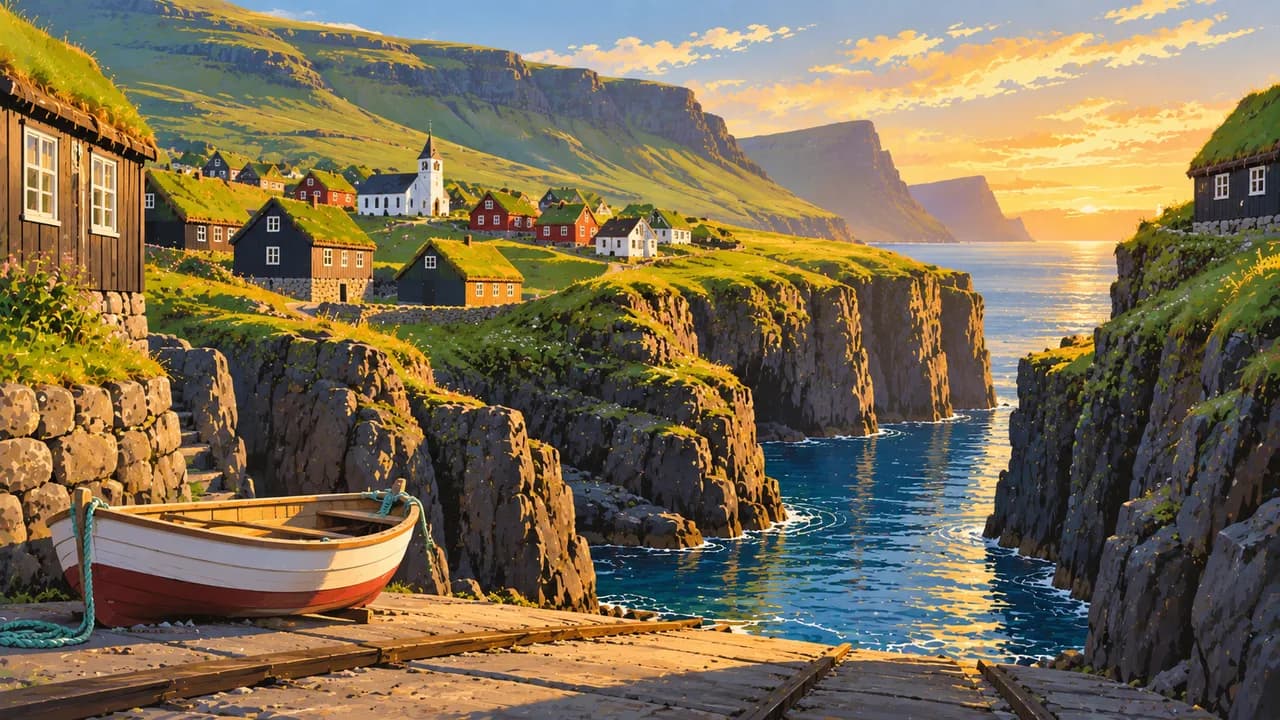
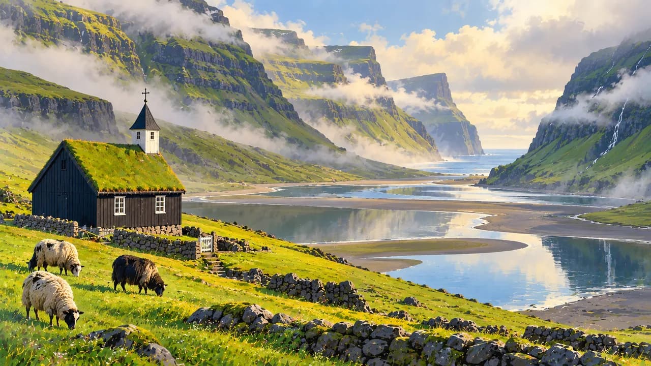
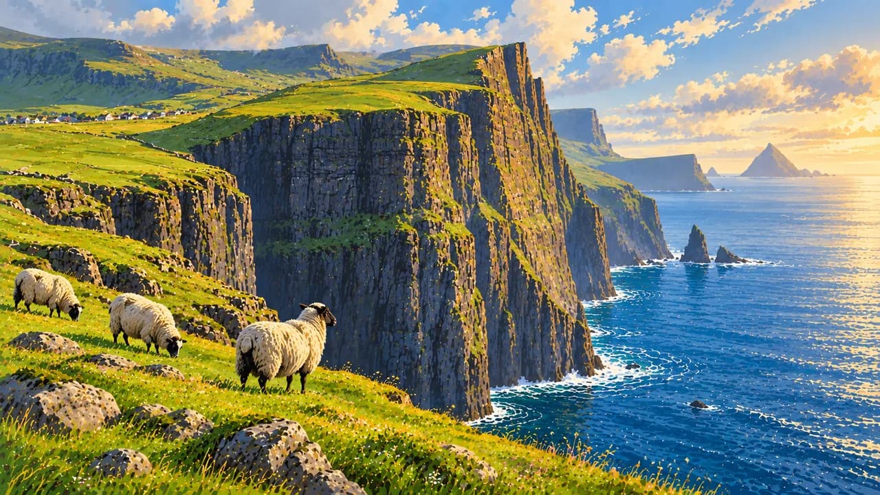
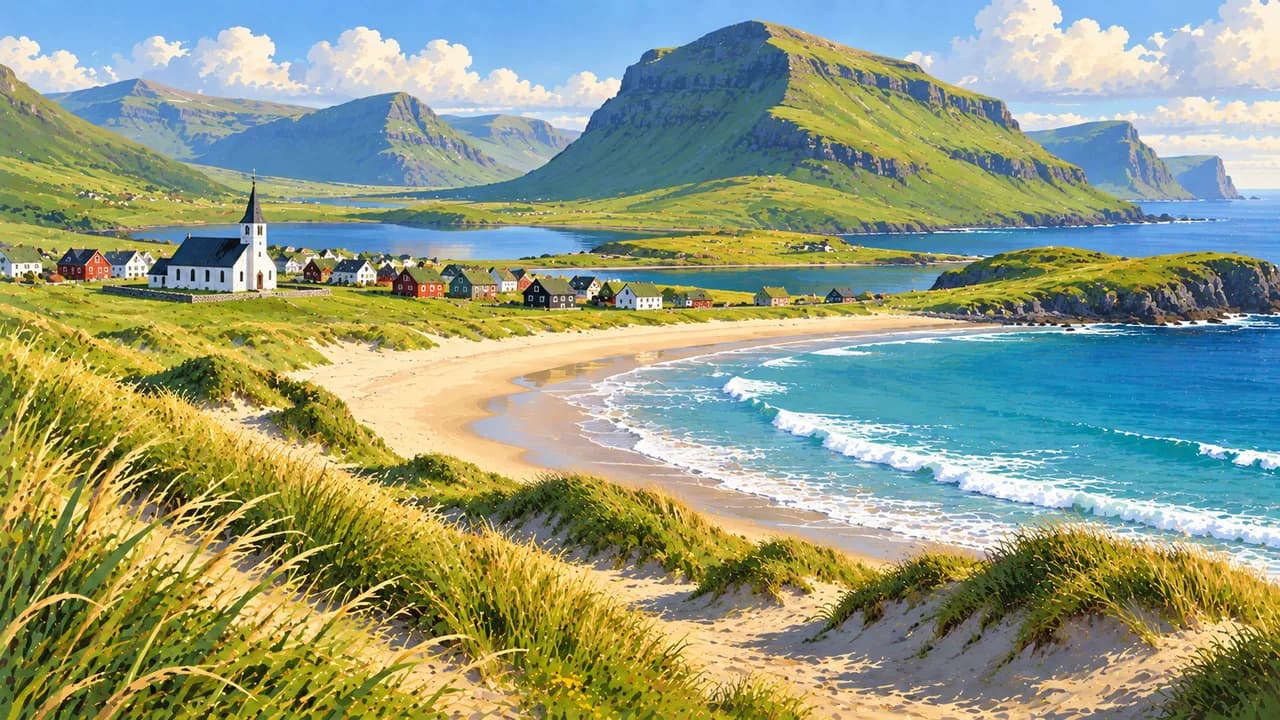
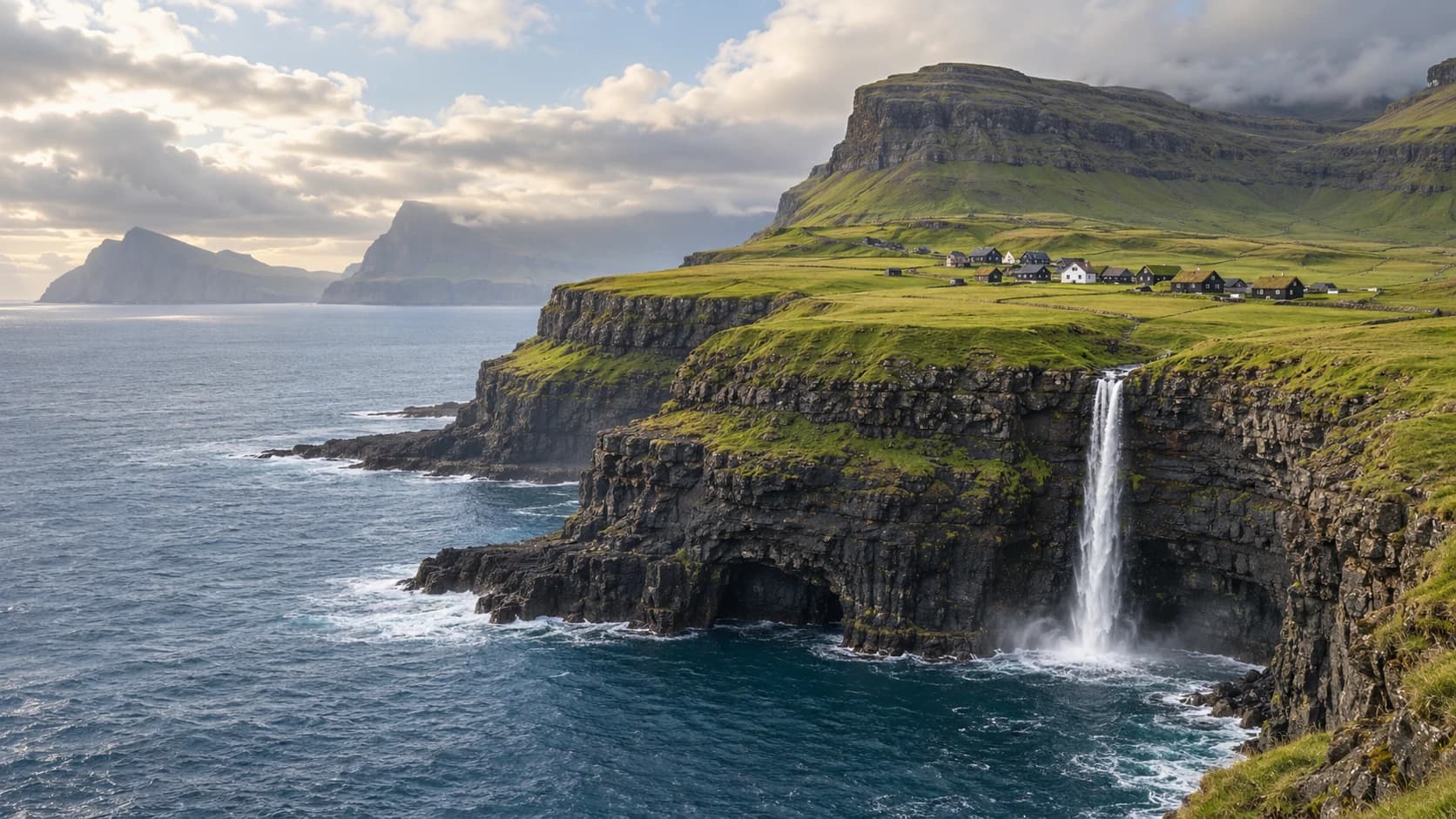
The Faroe Islands are a self-governing archipelago within the Kingdom of Denmark in the North Atlantic. Eighteen mountainous islands combine grass-covered slopes, basalt cliffs, waterfalls and villages with turf-roofed houses. The Faroese language and a strong maritime identity connect island communities with their own traditions and contemporary cultural life.
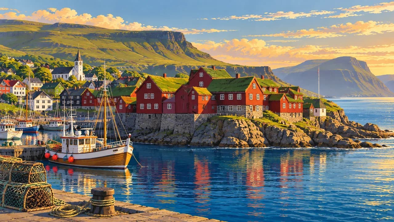
Tórshavn, the capital on Streymoy, combines Tinganes and its historic wooden buildings with a working harbour, cafés, museums and galleries. Nearby Kirkjubøur preserves medieval church heritage and a historic farmhouse. Further north, Saksun sits above a tidal lagoon, while Gjógv on Eysturoy is known for its natural harbour within a sea-filled gorge.
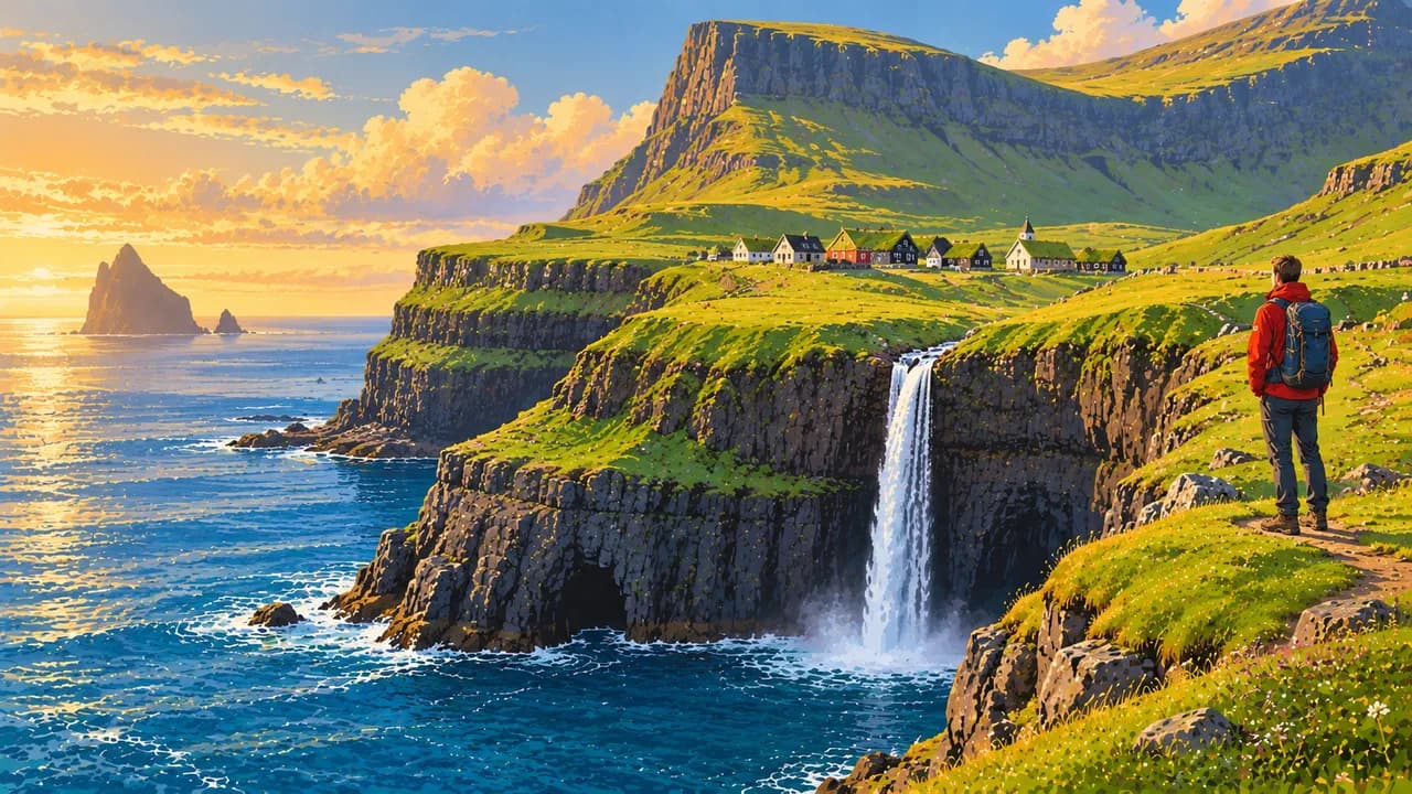
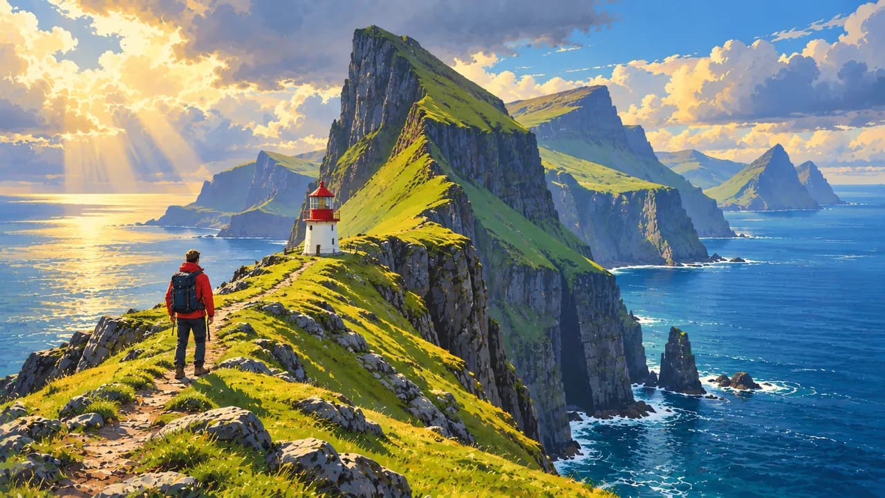
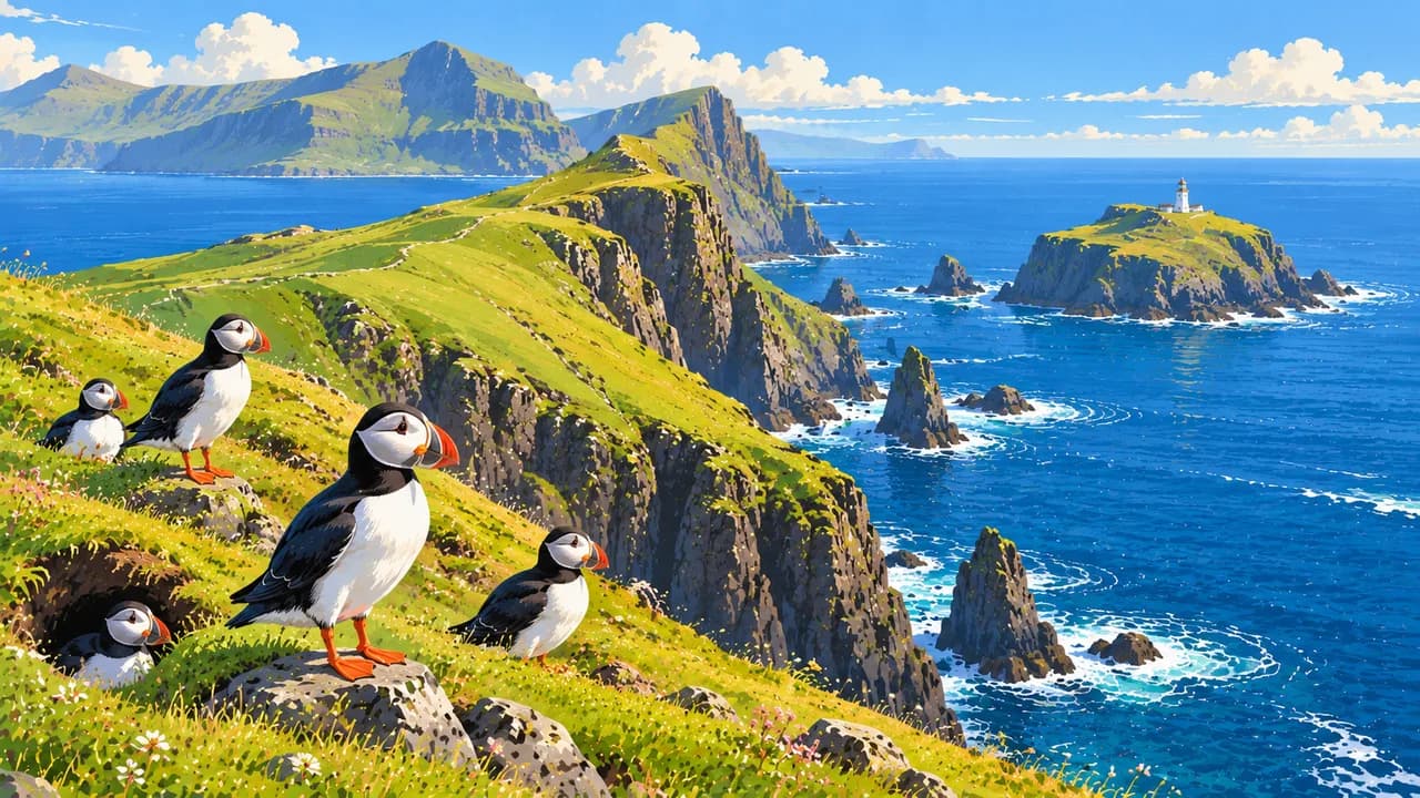
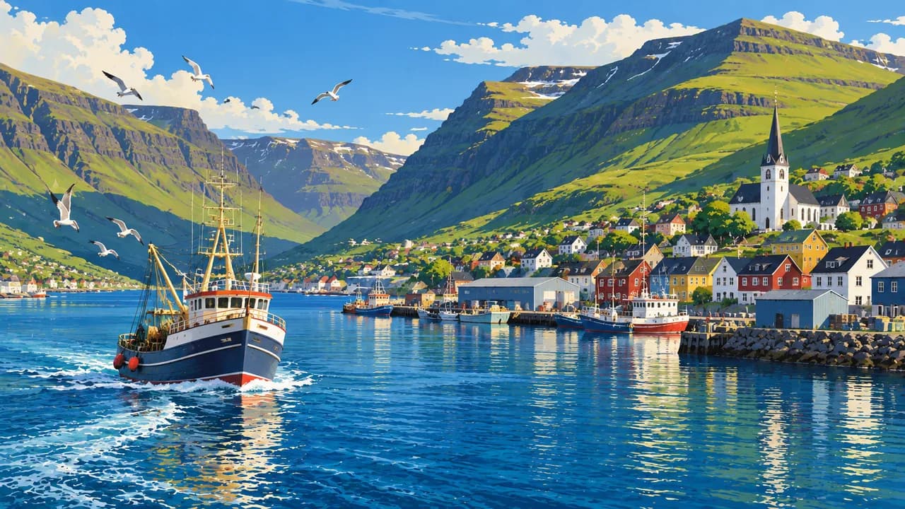
Klaksvík introduces the Northern Islands through fishing heritage, cultural venues and mountain scenery. Kalsoy adds narrow valleys, small settlements and the coastal landscape around Kallur lighthouse. On Vágar, Gásadalur and the Múlafossur waterfall contrast with lakes and mountain paths. Mykines supports summer seabird colonies, including puffins, whose presence and visibility depend on the breeding season and local conditions.
Sandoy offers gentler farmland, villages and artistic traditions, with a subsea road tunnel linking it to Streymoy. Suðuroy brings another perspective through steep western cliffs, sheltered eastern settlements and maritime heritage around Tvøroyri and Vágur. Its ferry connection requires separate planning rather than treating every island as part of one continuous driving route.
Traditional ballads and the Faroese chain dance sit alongside contemporary music, wool crafts and design. Fish, lamb, fermented specialities and home dining reveal food traditions shaped by farming and the sea. Cultural visits broaden the experience beyond viewpoints and hiking.
Long summer days provide more daylight for exploring, but wind, fog and rain can alter plans throughout the year. Ferries and boat excursions depend on sea conditions, and mountain routes require suitable preparation. Check landowner access arrangements, local guide requirements, fees and bird protection closures, especially on Mykines. Respect working farms and keep clear of exposed cliff edges.
AI edited
- Self-governing territory
- Political status The Faroe Islands are self-governing within the Kingdom of Denmark, with their own parliament and government. Their island culture and Faroese language have a distinct identity.
- 18
- Islands The archipelago comprises 18 main islands. Islands are geographical units, not municipalities. Road tunnels, bridges and ferries connect different parts of the archipelago.
- ≈ 55,600
- Population Hagstova Føroya recorded 55,640 residents on 1 September 2026, published in October 2026. Rounded to 55,600.
- ≈ 1,400 km²
- Area Approximate land area, rounded from the official 1,399 km² figure. The surrounding maritime area is much larger and is not included.
- Faroese
- Language Faroese is the principal language and belongs to the North Germanic language family. It is used in everyday life, education and cultural expression.
- Danish & English
- Other languages Danish is taught in schools and may be used in public affairs. English often helps visitors communicate, but availability varies by person and setting.
- Krone (DKK)
- Currency Faroese banknotes have the same value as Danish kroner. Danish notes and coins also circulate. Faroese notes are a local issue within the Danish currency area.
- C · F · K
- Socket types Common C/K connections, with F sockets also found. Supply is 230 V / 50 Hz. Grounded devices need compatible grounded adapters. Plug adapters do not convert voltage.
- Tórshavn
- Capital Tórshavn on Streymoy is the capital and seat of government. Its historic Tinganes district, harbour, museums and cultural venues offer complementary perspectives.
- Right-hand traffic
- Driving side Traffic keeps right. Narrow roads, older tunnels, sheep and changeable weather require attention. Check tunnel arrangements and ferry connections before setting out.
- UTC+0 / UTC+1
- Time zone The islands use UTC+0 in winter and UTC+1 during summer time. The Tórshavn clock follows Atlantic/Faroe seasonal changes, one hour behind Denmark under current arrangements.
The Faroe Islands on the map

Map data: geoBoundaries (CC BY 4.0), © OpenStreetMap contributors (ODbL), Natural Earth
Climate and best time to travel
The oceanic climate brings cool summers, relatively mild winters and changeable conditions throughout the year. May to September often suits outdoor visits, with the longest days in June and July. Fog, wind and rain can affect mountain routes and boat trips even in summer. Seabirds are seasonal, with no sighting guarantee. Check ferry schedules, landowner access, guide requirements and bird protection closures. Allow flexible travel days, respect working farms and stay clear of exposed cliff edges.