Svalbard and Jan Mayen
Arctic fjords, glacier fronts and polar history connect two separate Norwegian territories.
Worth coming back!
Wanderlama keeps growing with new destinations, helpful information and exciting features. Check back soon and discover what is new!
Travel to Svalbard and Jan Mayen
Svalbard and Jan Mayen are two geographically separate Norwegian territories grouped under one statistical code, rather than a single country or island group. Svalbard lies in the High Arctic, with Spitsbergen its largest island. Jan Mayen lies far to the southwest, north of Iceland, and has rotating station personnel rather than a permanent civilian community.
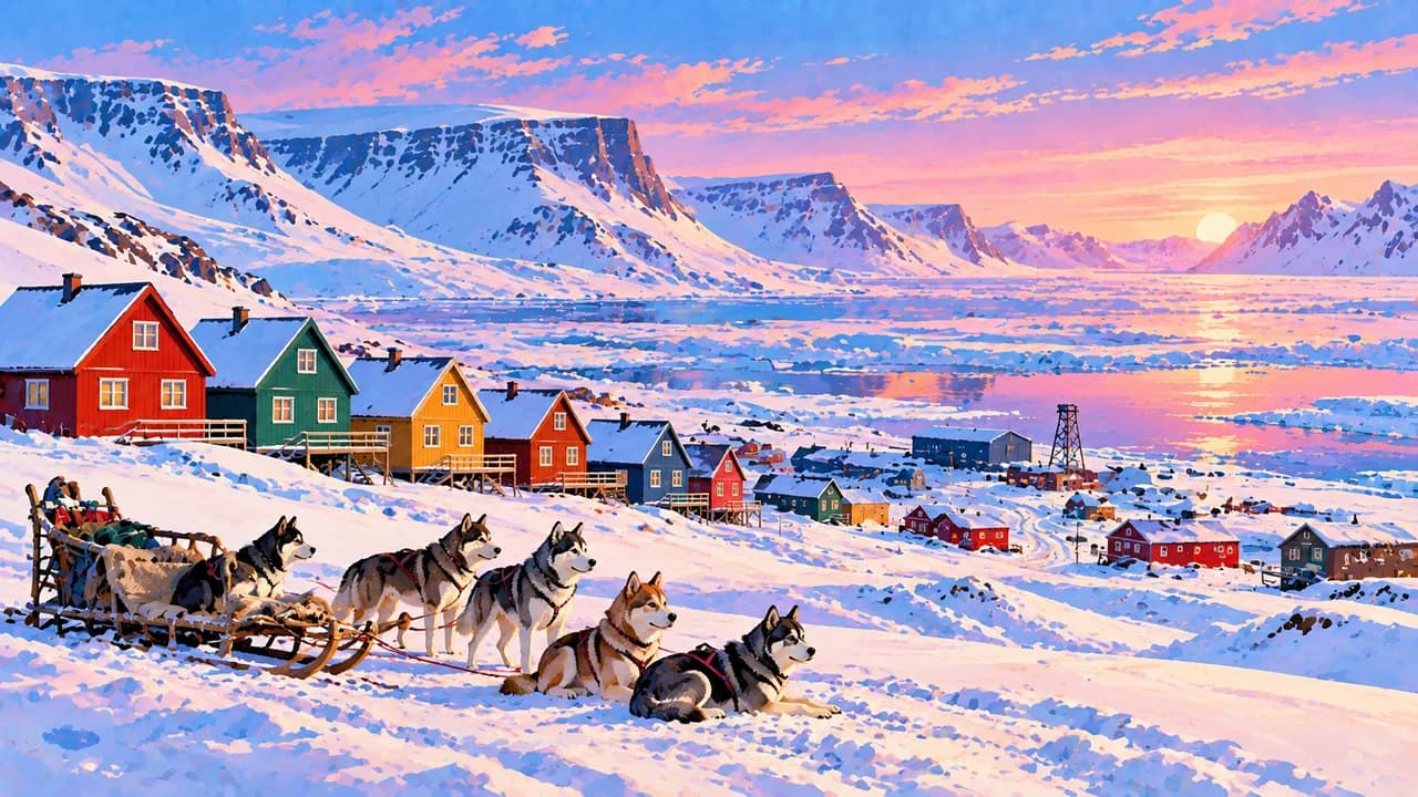
Longyearbyen, Svalbard’s main settlement, combines colourful houses, cafés and galleries with museums exploring natural history, mining and polar expeditions. Guided mine visits illuminate industrial heritage. The Global Seed Vault safeguards crop diversity, but its interior is not a public attraction. Contemporary life and international research broaden the picture beyond wilderness scenery.
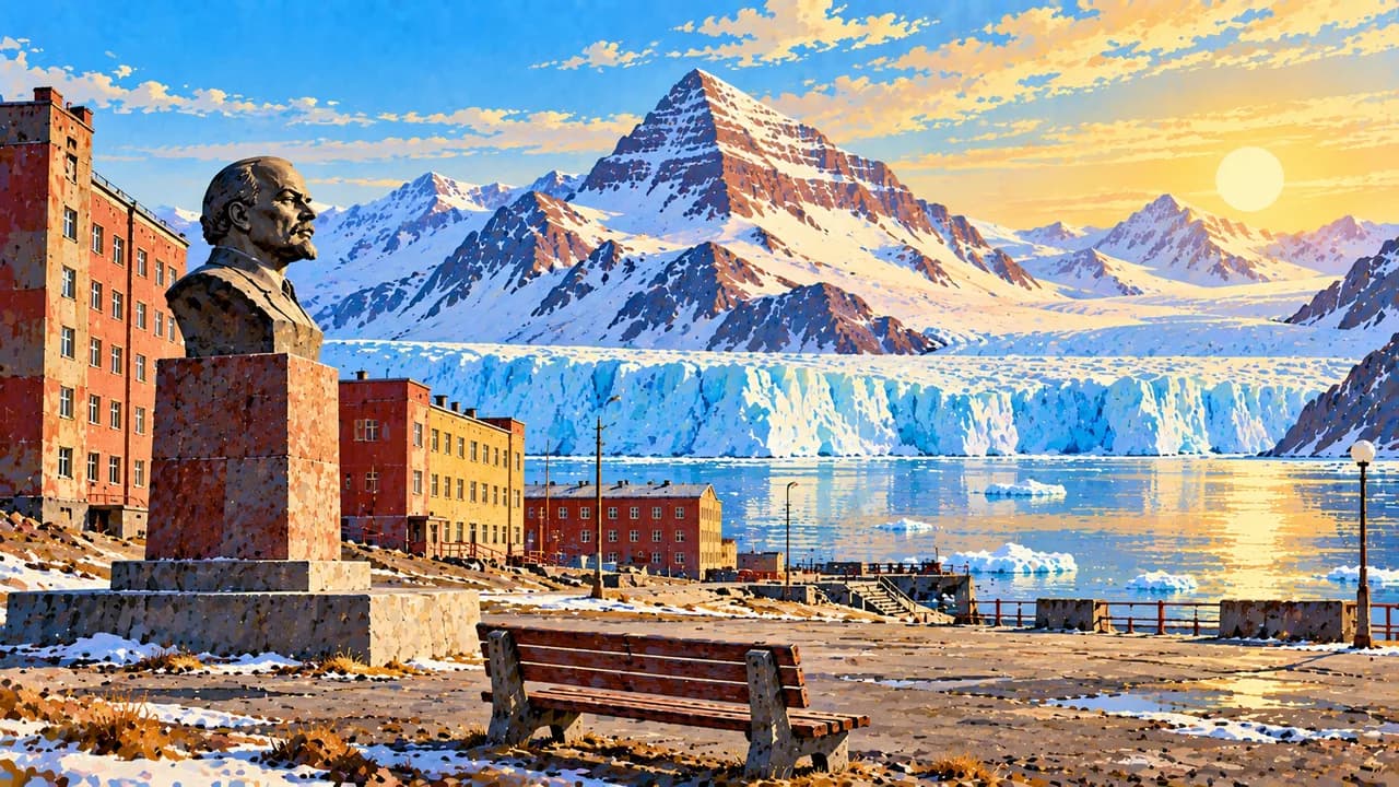
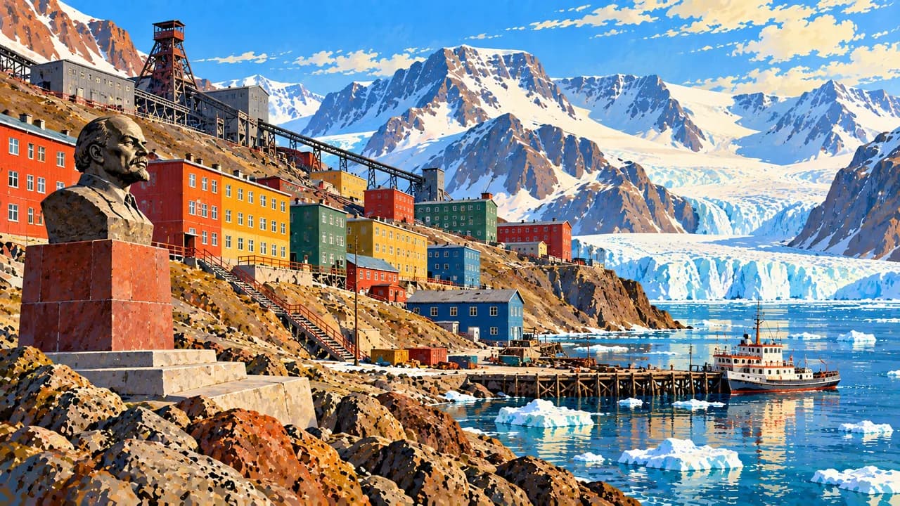
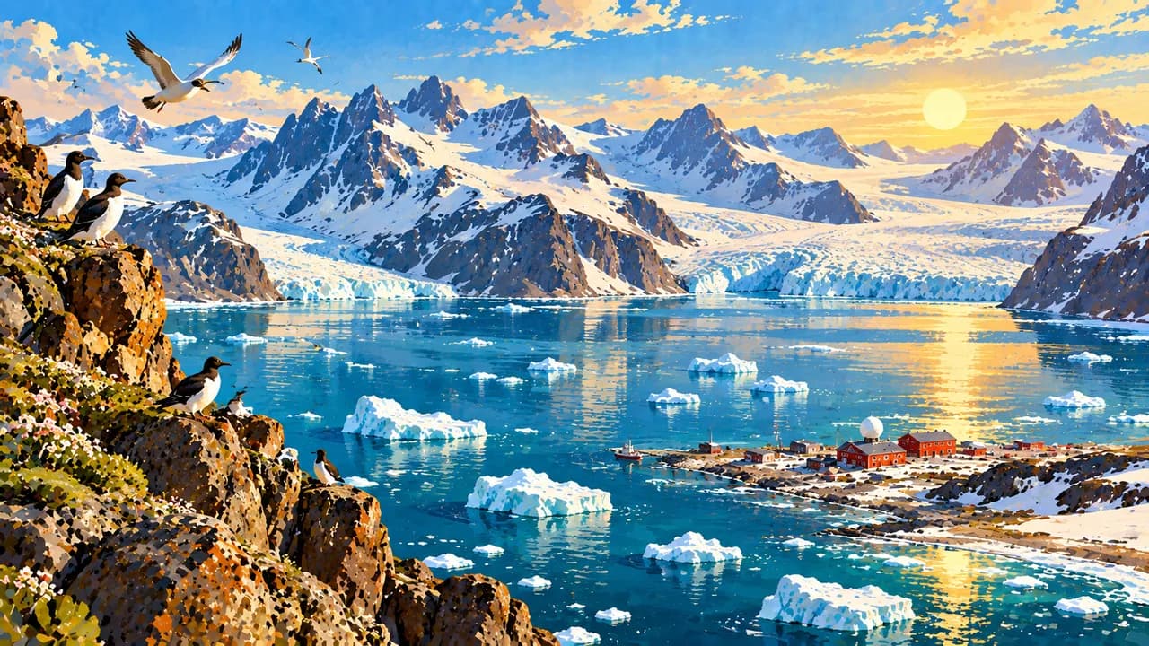
Barentsburg remains a Russian mining settlement, while Pyramiden preserves the buildings of a former Soviet mining town. Visits depend on current operators and access arrangements. Ny-Ålesund is an international research community, where visitor movements and electronic equipment are regulated to protect scientific work.
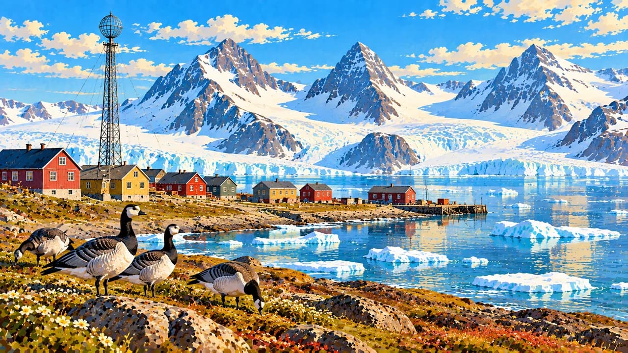
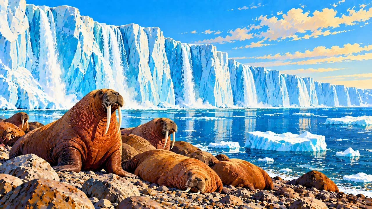
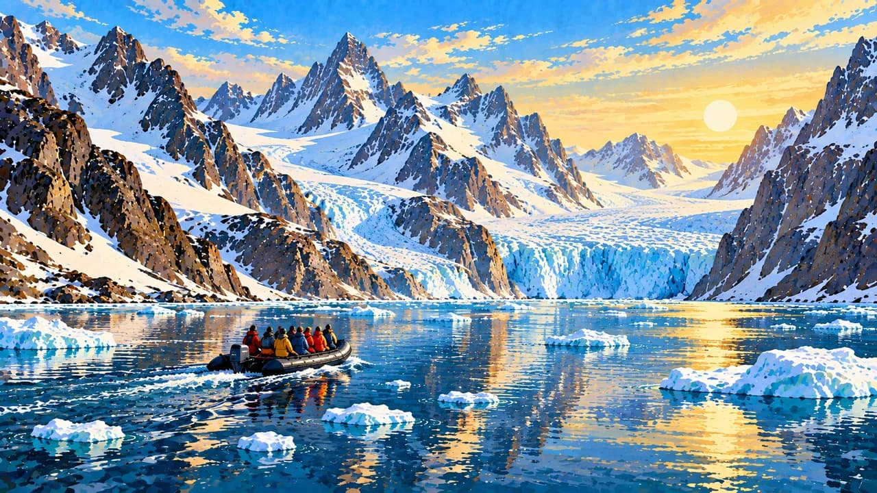
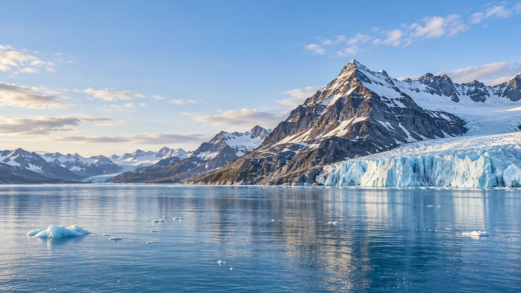
Nordaustlandet’s Austfonna ice cap contrasts with the fjords of western Spitsbergen. Liefdefjorden and Monacobreen, Magdalenefjorden’s mountain shores and Hornsund’s glaciers reveal different Arctic landscapes. Boat routes and landings depend on sea ice, weather and protected-area rules. Walruses, seabirds and reindeer enrich the region, but wildlife encounters are never guaranteed.
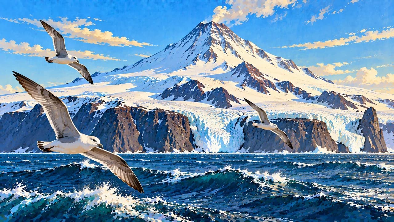
Jan Mayen combines the glacier-covered Beerenberg volcano, black volcanic shores and seabird cliffs. Its nature reserve and working station require separate permission and logistics. Weather and sea conditions decide whether an expedition ship can land.
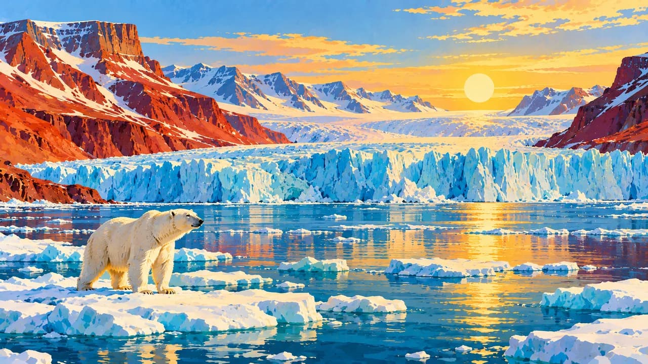
Summer brings long daylight and seasonal boat excursions, while late winter favours guided snow activities when conditions allow. Polar night offers a different atmosphere and possible aurora displays. Choose experienced local guides outside settlements, follow current polar-bear distance and landing rules, and leave wildlife and historic remains undisturbed. Remote travel needs suitable insurance and flexible plans.
AI edited
- 2
- Territories Svalbard is an Arctic archipelago. Jan Mayen is a separate volcanic island far to the southwest. Both are Norwegian territories grouped under a statistical code, without a shared local administration.
- ≈ 2,930 on Svalbard
- Population Statistics Norway records 2,933 residents across Svalbard’s settlements on 1 July 2026. Jan Mayen’s rotating station personnel are separate from this figure, with no permanent civilian community.
- ≈ 60,700 km²
- Area Rounded combined reference area. Statistics Norway gives Svalbard 60,299 km² in 2026, including inland water. The Norwegian Polar Institute gives Jan Mayen about 377 km². Coastline mapping changes published totals.
- Norwegian
- Language Norwegian is the administrative language. Svalbard’s international communities and research stations add considerable linguistic diversity.
- English, Russian & others
- Other languages English is widely used in tourism and research. Russian is used in Barentsburg and Pyramiden. Language availability depends on the settlement and operator.
- Norwegian krone (NOK)
- Currency Norwegian kroner are used on Svalbard. Longyearbyen businesses generally prefer cards. There is no bank or cash machine, so arrange any cash before departure from the mainland.
- C · F
- Socket types Type F sockets accept compatible type C plugs. Mains electricity is 230 V at 50 Hz. Check your device’s voltage rating and adapter requirements.
- Longyearbyen
- Administrative centre Longyearbyen is Svalbard’s administrative centre, not a joint capital for both territories. Jan Mayen has separate administration and a working station rather than a civilian town.
- Right-hand traffic
- Driving side Traffic keeps right on local roads. Svalbard has no roads between settlements. Boats, aircraft and guided seasonal excursions require separate arrangements. Jan Mayen is not a normal driving destination.
- UTC+1 / UTC+2
- Time zone Europe/Oslo supplies Longyearbyen’s clock, UTC+1 in winter and UTC+2 during daylight saving time. Norwegian civil time also applies to Jan Mayen. Polar daylight does not alter clock time.
Svalbard and Jan Mayen on the map

Map data: geoBoundaries (CC BY 4.0), © OpenStreetMap contributors (ODbL), Natural Earth
Climate and best time to travel
Cold, wind and fog are possible even in summer. Svalbard’s seasons follow polar light, sea ice and snow rather than a typical summer holiday calendar. Late winter can suit guided snow activities, and summer favours boat excursions where ice permits. Polar night offers possible northern lights without guaranteed sightings. Weather, wildlife rules and landing restrictions can change routes. Jan Mayen needs separate permission and logistics. Check current operator and authority information before booking.