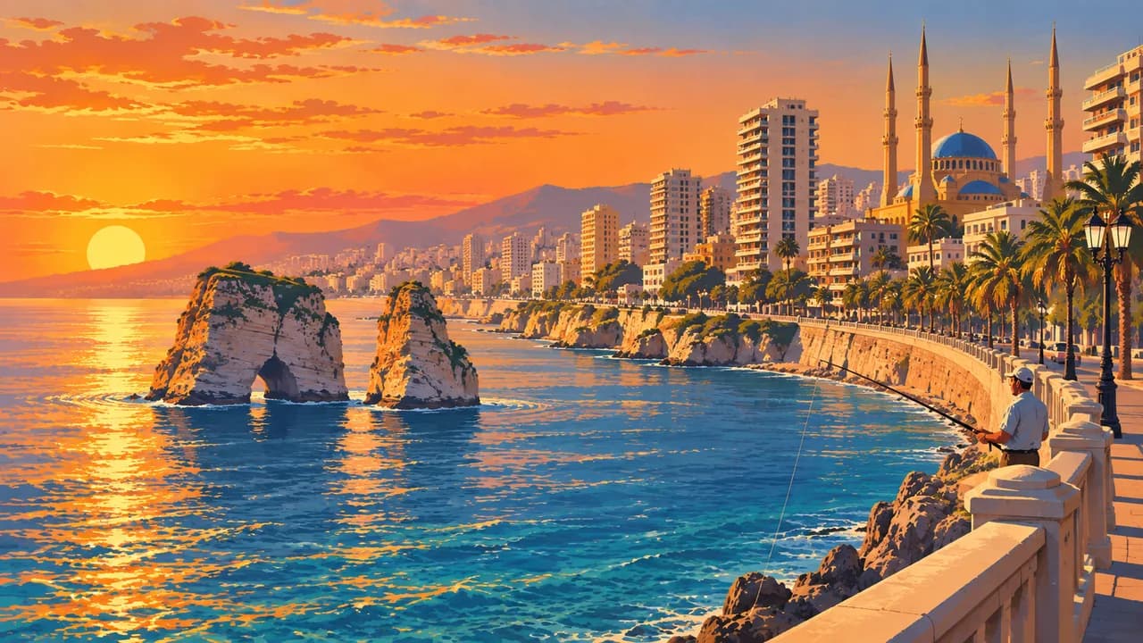
 AI generated
Beirut
Lebanon · Beirut Governorate
Short description of Beirut
Beirut (بيروت) is the capital of Lebanon and a city rebuilt many times over on the same rocky headland. Roman columns stand between glass towers downtown, the Mohammad Al-Amin Mosque and Saint George Cathedral share one square, and the Corniche runs for kilometres along the sea past the Pigeon Rocks. Museums carry the long story, from the sarcophagi of the National Museum to the mosaics of the Sursock. Mar Mikhael and Gemmayzeh fill with bars in old Ottoman houses, and the Armenian quarter of Bourj Hammoud cooks its own kitchen. For travellers Beirut is where a Lebanon trip starts.
AI edited
Worth coming back!
Wanderlama keeps growing with new destinations, helpful information and exciting features. Check back soon and discover what is new!
Recommended length of stay
Travel seasons at a glance
Best time to visit: April – May or September
- Jan
- Feb
- Mar
- Apr
- May
- Jun
- Jul
- Aug
- Sep
- Oct
- Nov
- Dec
All highlights and sights
- Corniche seaside promenade
- Pigeon Rocks at Raouché
- Mohammad Al-Amin Mosque
- Roman baths and downtown ruins
- National Museum of Beirut
- Mar Mikhael & Gemmayzeh nightlife
- Saint George Maronite Cathedral
- Sursock Museum
- Souks of Beirut
- Mezze and arak in a Lebanese tavern
- Bourj Hammoud Armenian quarter
- Pigeon Rocks sunset from the cliffs
- Zaitunay Bay marina
- Mim Mineral Museum
- Sanayeh Garden
- American University campus and its museum
- Manoushe bakeries in the morning
- Beit Beirut war museum building
Ways to get there and away
- Airports nearby:
- BEY Beirut Rafic Hariri International Airport (Beirut) · 8.3 km south(recommended)
- DAM Damascus International Airport (Damascus) · 108 km southeast
- HFA Uri Michaeli Haifa International Airport (Haifa) · 128 km south
- Seaport:
- Reachable by ship or ferry
- Nearest seaports:
- Haifa-Akko Ferry · 116 km south
- Banyas Port · 149 km north
- Nearest railway station:
- Nahariya (Rosh HaNikra🇮🇱) · 97 km southwest
Ports: © OpenStreetMap contributors
Map view
Distances
Nearest destinations
Main cities in Lebanon
Straight line. With the car symbol: road distance and pure driving time, where already worked out. Population: GeoNames (CC BY 4.0).