Bahamas
The Bahamas
Turquoise banks, sandy shores and scattered islands meet coral reefs, maritime traditions and living Junkanoo culture.
Worth coming back!
Wanderlama keeps growing with new destinations, helpful information and exciting features. Check back soon and discover what is new!
Travel to the Bahamas
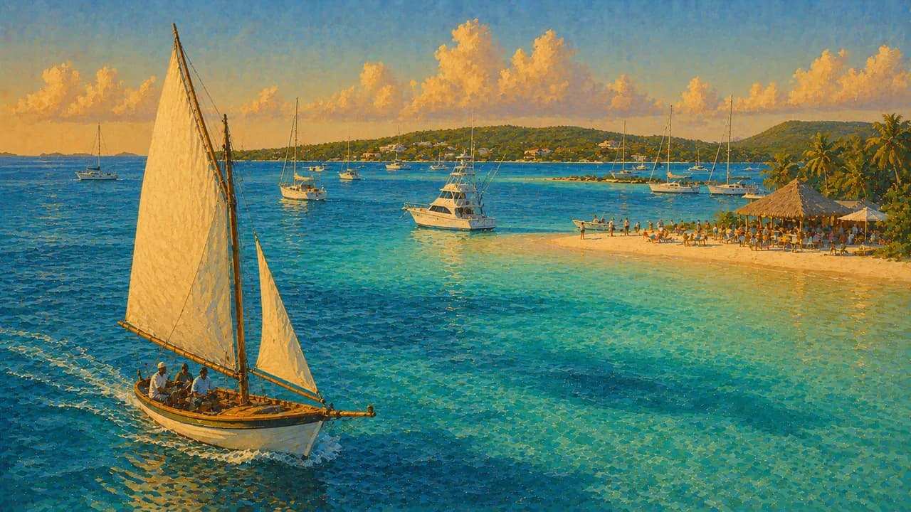
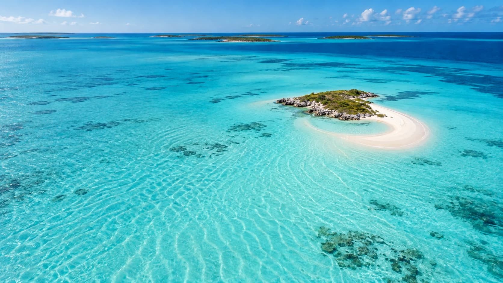
The Bahamas form an archipelago of around seven hundred islands and cays in the Atlantic, southeast of Florida and north of Cuba. Shallow turquoise banks, deeper ocean channels and long sandy shores shape a maritime landscape rather than a single island destination. Busy resort centres contrast with smaller settlements and the quieter Out Islands, where boating, fishing traditions and local community life remain important.
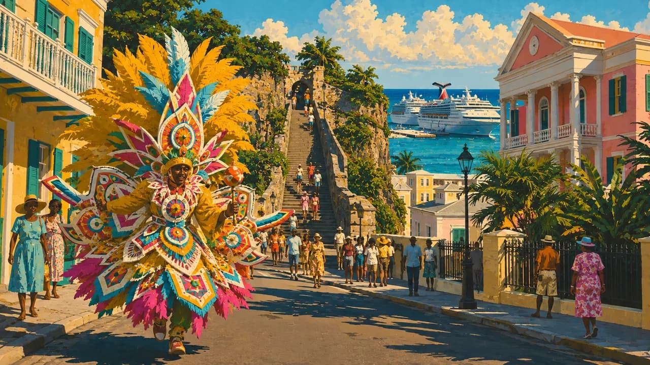
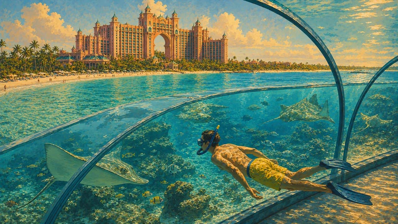
Nassau, the capital on New Providence, combines a working harbour, historic streets, forts and museums exploring Bahamian art and history. Nearby Paradise Island adds large resorts, beaches and leisure facilities. Beyond the colourful colonial buildings, the country's heritage includes the Indigenous Lucayans, European colonisation, enslavement and the enduring influence of African traditions.
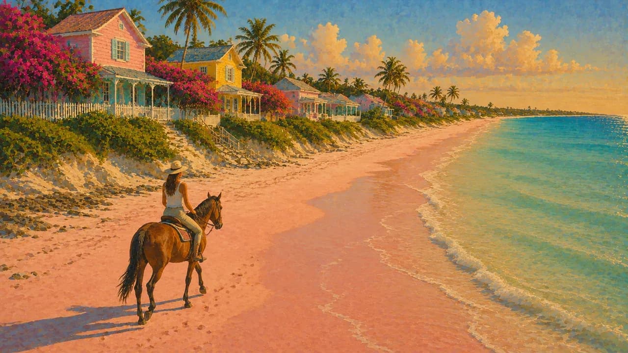
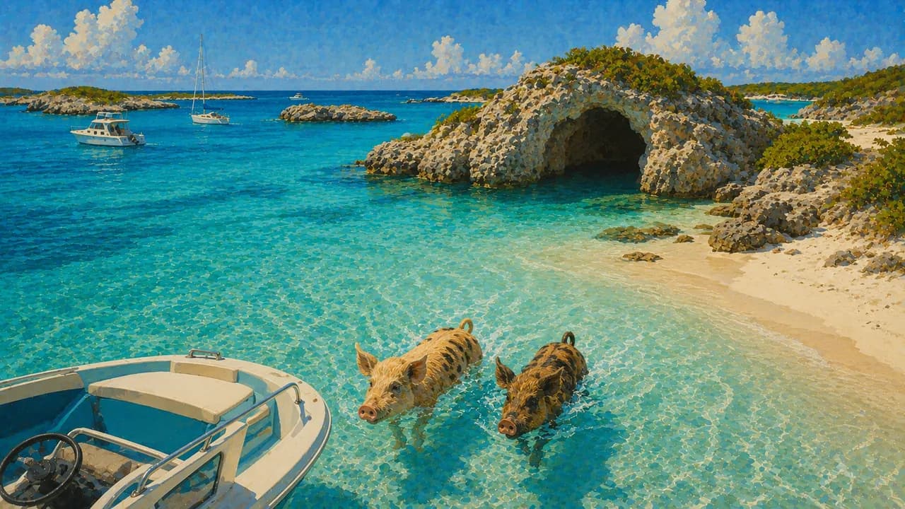
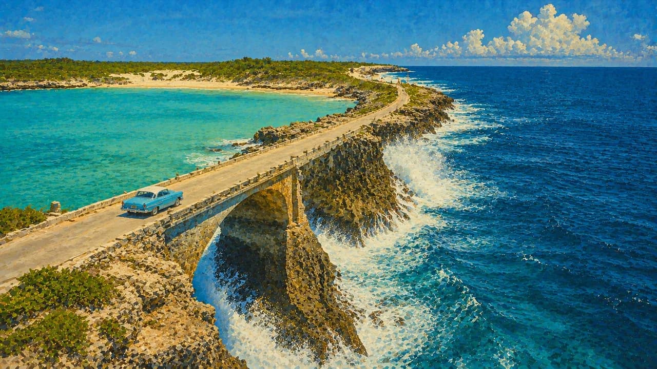
Eleuthera has a long, narrow outline, contrasting Atlantic and bank-side shores and the Glass Window Bridge, while neighbouring Harbour Island is known for its pink sand. In the Exumas, George Town serves as a settlement and boating hub on Great Exuma. Staniel Cay provides a base for the surrounding cays, including the waters around Thunderball Grotto and Big Major Cay, known for its pigs.
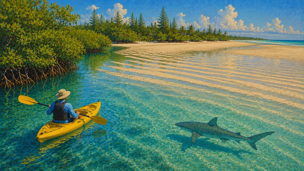
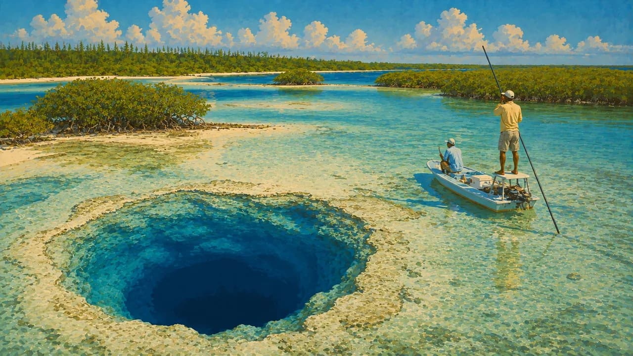
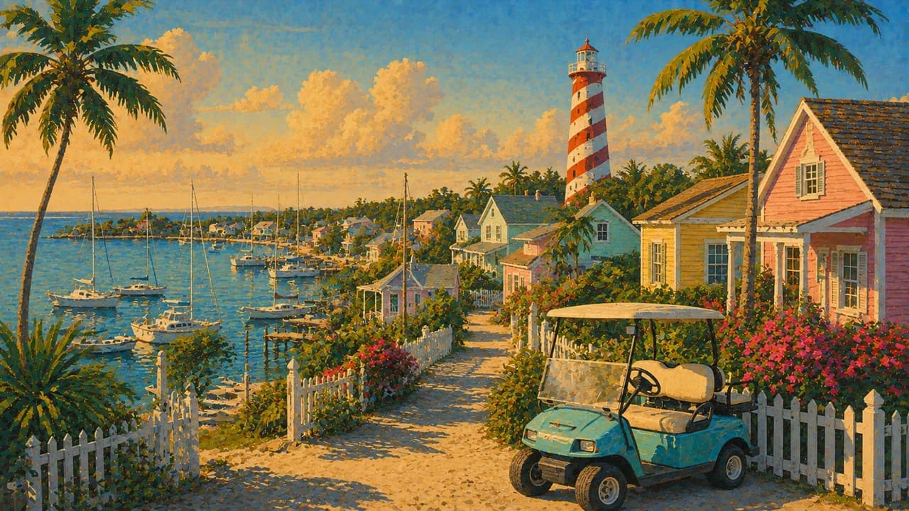
Andros brings together an extensive barrier reef, mangroves, pine woodland and blue holes, with landscapes suited to birdwatching and nature exploration. On Grand Bahama, Freeport contrasts with Lucayan National Park's caves, mangrove creeks and Gold Rock Beach. Hope Town in the Abacos combines pastel houses, a harbour and its striped lighthouse, while Bimini adds compact island settlements, fishing heritage and the Sapona shipwreck.
Junkanoo unites elaborate handmade costumes, percussion, dance and community creativity, while straw work and boatbuilding express other island skills. Bahamian cooking features conch, fish, peas and rice, and johnny cake. Flights and boat connections link parts of the archipelago, but distances between island groups mean island-hopping requires planning rather than assuming every destination is a short ferry ride away.
AI edited
- ≈ 700
- Islands & cays The archipelago comprises around seven hundred islands and cays. This is a geographic approximation, not the number of inhabited islands or administrative districts.
- ≈ 398,200
- Population Bahamas National Statistical Institute census on 4 April 2022, 398,165 residents. Rounded to 398,200. Not a live population estimate.
- ≈ 13,940 km²
- Area Rounded surface area according to UNData, including inland waters. Not the much larger maritime area or a land-only measurement.
- English
- Language English is the official language. Bahamian speech varieties shape everyday conversation alongside standard English.
- Haitian Creole
- Other languages Haitian Creole is spoken by parts of the population. It is not a nationwide second official language.
- Bahamian dollar (BSD)
- Currency The official currency is the Bahamian dollar, code BSD. It is pegged to the US dollar but remains a separate currency.
- A · B
- Socket types A and B are common, with 120 V and 60 Hz. Check your accommodation's sockets, voltage and appliance compatibility. A plug adaptor does not convert voltage.
- Nassau
- Capital Nassau on New Providence is the capital and seat of government. Paradise Island is a neighbouring island, not the name of the capital.
- Left-hand traffic
- Driving side Traffic keeps to the left. Steering-wheel positions can vary, so become familiar with the vehicle before driving.
- UTC−5 / UTC−4
- Time zone Eastern Time with daylight saving. UTC−5 in winter and UTC−4 in summer. Displayed differences from browser and home time account for the respective clock changes.
The Bahamas on the map

Map data: geoBoundaries (CC BY 4.0), © OpenStreetMap contributors (ODbL), Natural Earth
Climate and best time to travel
The Bahamas have a maritime climate with regional differences. November to April is generally drier and cooler, May to October warmer and wetter. Winter cold fronts can bring wind and cooler days. Outdoor cards follow the drier window without guaranteeing calm seas or clear underwater visibility. Culture and food can be explored year-round.