Turks and Caicos Islands
White-sand shores, turquoise banks and reef walls meet limestone caves, salt-making heritage and a living island culture.
Worth coming back!
Wanderlama keeps growing with new destinations, helpful information and exciting features. Check back soon and discover what is new!
Travel to the Turks and Caicos Islands
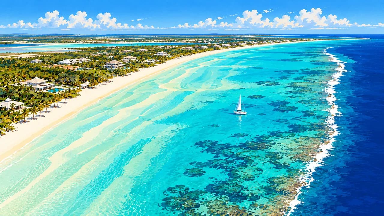
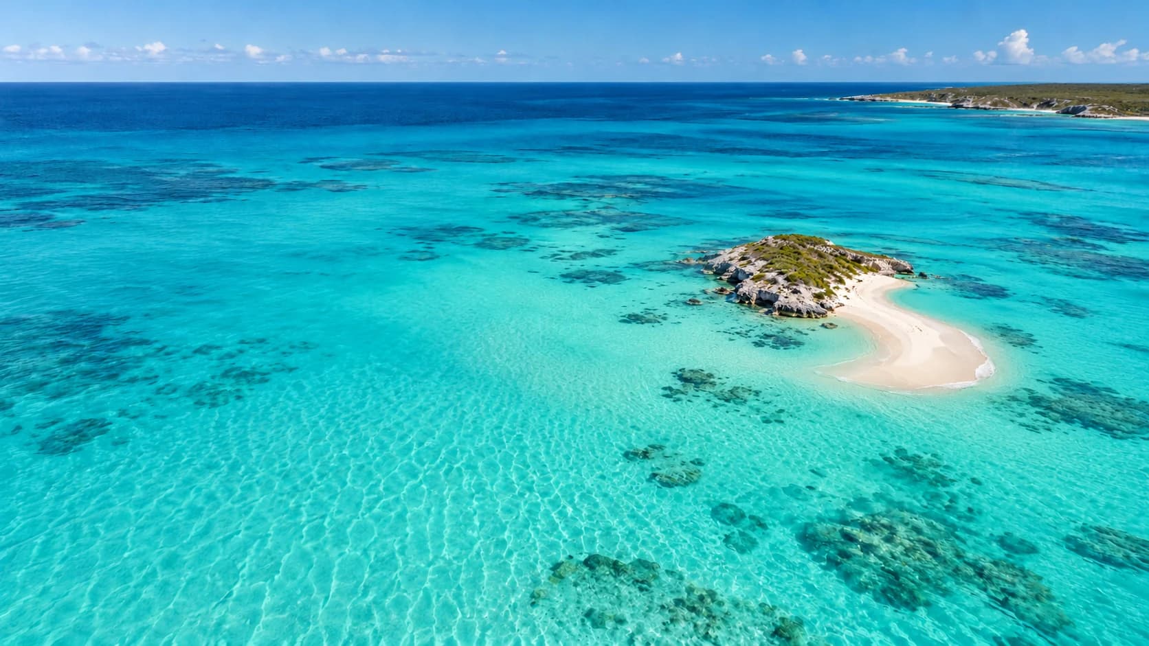
The Turks and Caicos Islands are a British Overseas Territory in the Atlantic southeast of the Bahamas, culturally part of the Caribbean. Two island groups combine white-sand shores, low limestone landscapes, mangroves and shallow turquoise banks beside deep ocean passages. Beyond the beach resorts, fishing settlements, salt ponds and historic buildings reveal island communities with distinct identities and a maritime heritage.
Providenciales is the main tourism centre, with Grace Bay’s long beach, restaurants and accommodation. Reefs and seagrass habitats offer contrasting underwater landscapes, while mangrove channels lend themselves to guided kayaking. Little Water Cay protects native rock iguanas. The appeal lies as much in these connected coastal habitats as in the beaches, with wildlife encounters dependent on natural conditions rather than guaranteed sightings.
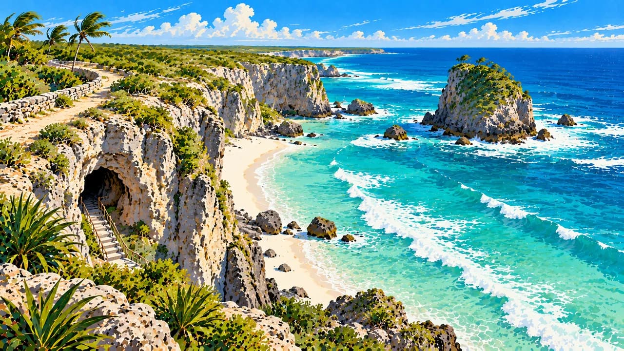
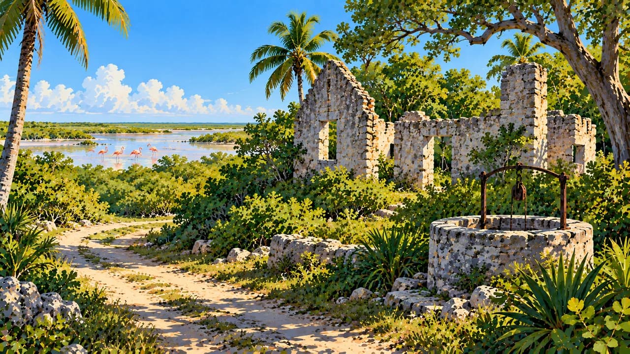
North Caicos adds greener countryside, village life and wetlands around Flamingo Pond. A causeway connects it with Middle Caicos, where Mudjin Harbour’s limestone cliffs and coves contrast with the broad sands of Bambarra Beach. Conch Bar Caves shelters stalactites, tidal pools and bats, while sections of the Crossing Place Trail trace older coastal routes. Straw weaving adds a living craft tradition to these landscapes.
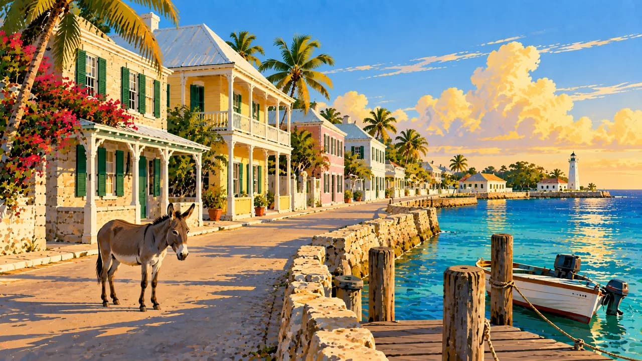
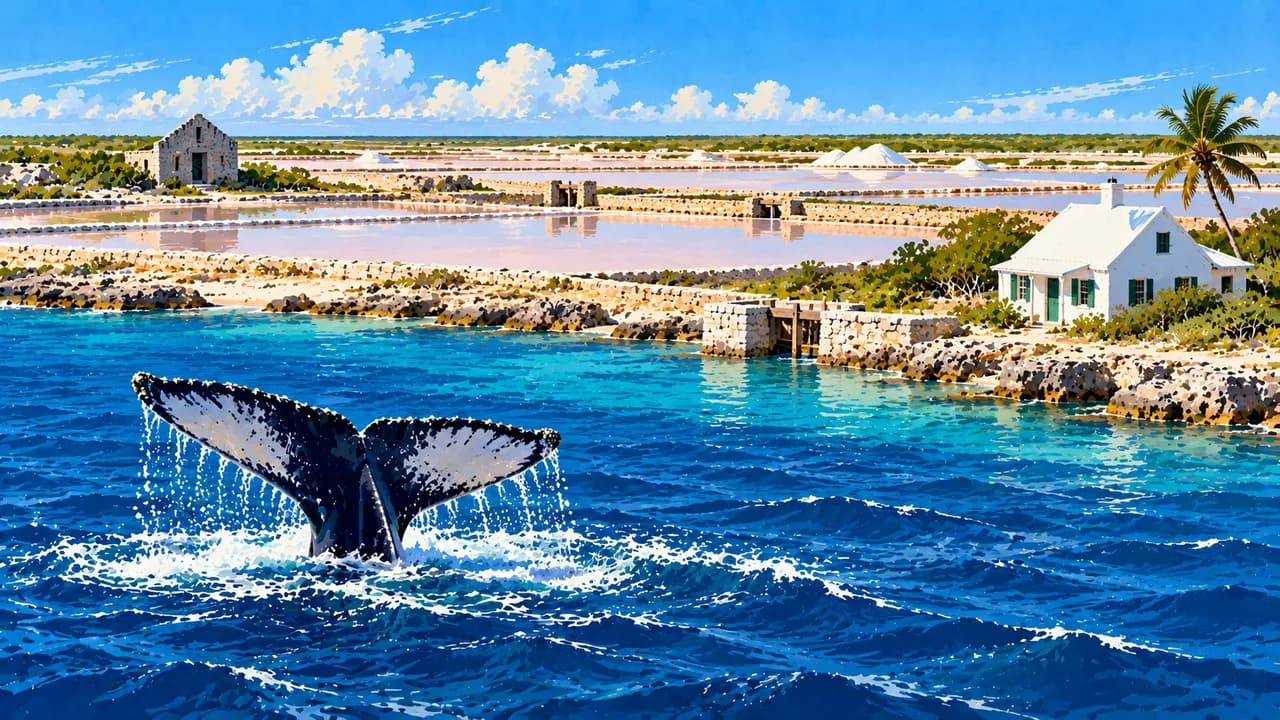
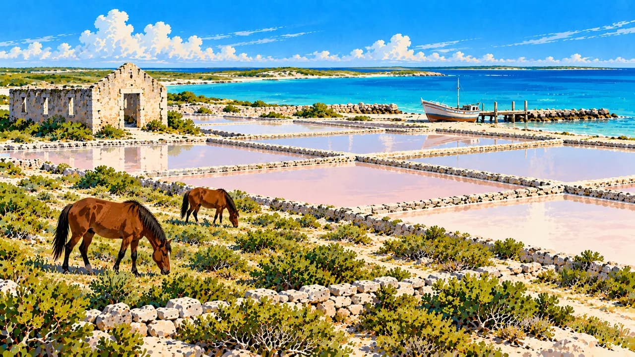
Grand Turk is home to the capital Cockburn Town, with waterfront streets, historic houses and the Turks and Caicos National Museum. Former salt ponds on Grand Turk and Salt Cay recall an industry shaped by Bermudian settlers and the labour of enslaved Africans. South Caicos combines this salt-making heritage with Cockburn Harbour’s fishing traditions. Offshore reef walls attract divers, and humpback whales migrate through nearby passages in winter.
Lucayan heritage, African roots and connections across the Caribbean shape the islands’ culture. Ripsaw music uses a scraped handsaw alongside other instruments, while Junkanoo brings costumes and percussion to celebrations. Conch dishes, fish, peas and rice reflect the relationship with the sea and neighbouring islands. Combining several islands reveals more of this variety than a beach stay on Providenciales alone.
AI edited
- 2
- Island groups The Turks Islands and Caicos Islands form a British Overseas Territory. Grand Turk and Salt Cay belong to the Turks group, Providenciales, North, Middle and South Caicos to the Caicos group.
- ≈ 52,300
- Population Provisional Statistics Authority population estimate for 2025, 52,299, rounded to 52,300. This is neither a census count nor a continuously updated population figure.
- ≈ 430 km²
- Area Approximate land area according to CARICOM. Published figures vary with how islands, cays and tidal areas are counted. Surrounding sea areas are excluded.
- English
- Language English is the official language. Local English-based speech forms are part of island culture and differ from formal administrative English.
- Creole & Spanish
- Other languages Haitian Creole and Spanish are spoken within migrant communities. They are not additional official languages and are not spoken everywhere.
- US dollar (USD)
- Currency The official currency is the US dollar, code USD. The territory’s British connection does not make pounds sterling its national currency.
- A · B
- Socket types Electrical Safety First lists A and B, 120 V, 60 Hz. Check sockets, voltage and appliance compatibility. An adaptor does not convert voltage.
- Cockburn Town
- Capital Cockburn Town on Grand Turk is the capital. It is distinct from Cockburn Harbour on South Caicos and the tourism centre of Providenciales.
- Left-hand traffic
- Driving side Traffic keeps left. A road causeway connects North and Middle Caicos. There are no continuous road links between the other main islands.
- UTC−5 / UTC−4
- Time zone Eastern Time with daylight saving. Winter UTC−5, summer UTC−4. Browser and home comparisons account for their respective clock changes. Both seasonal offsets apply across the territory.
The Turks and Caicos Islands on the map

Map data: geoBoundaries (CC BY 4.0), © OpenStreetMap contributors (ODbL), Natural Earth
Climate and best time to travel
The islands are warm throughout the year. January to April is generally drier and a little milder, while summer and autumn are hotter and often wetter. Beaches, reefs and nature span different seasons. Wind, visibility and sea conditions vary. Humpback whales pass through the channels mainly from January to March.