Bermuda
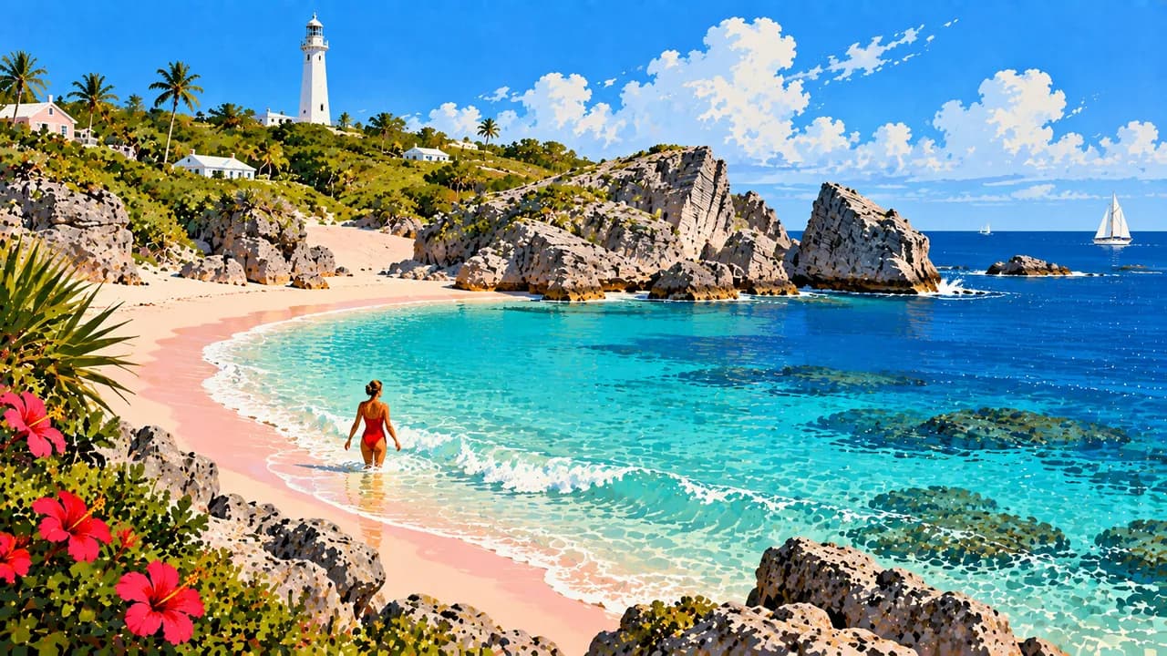
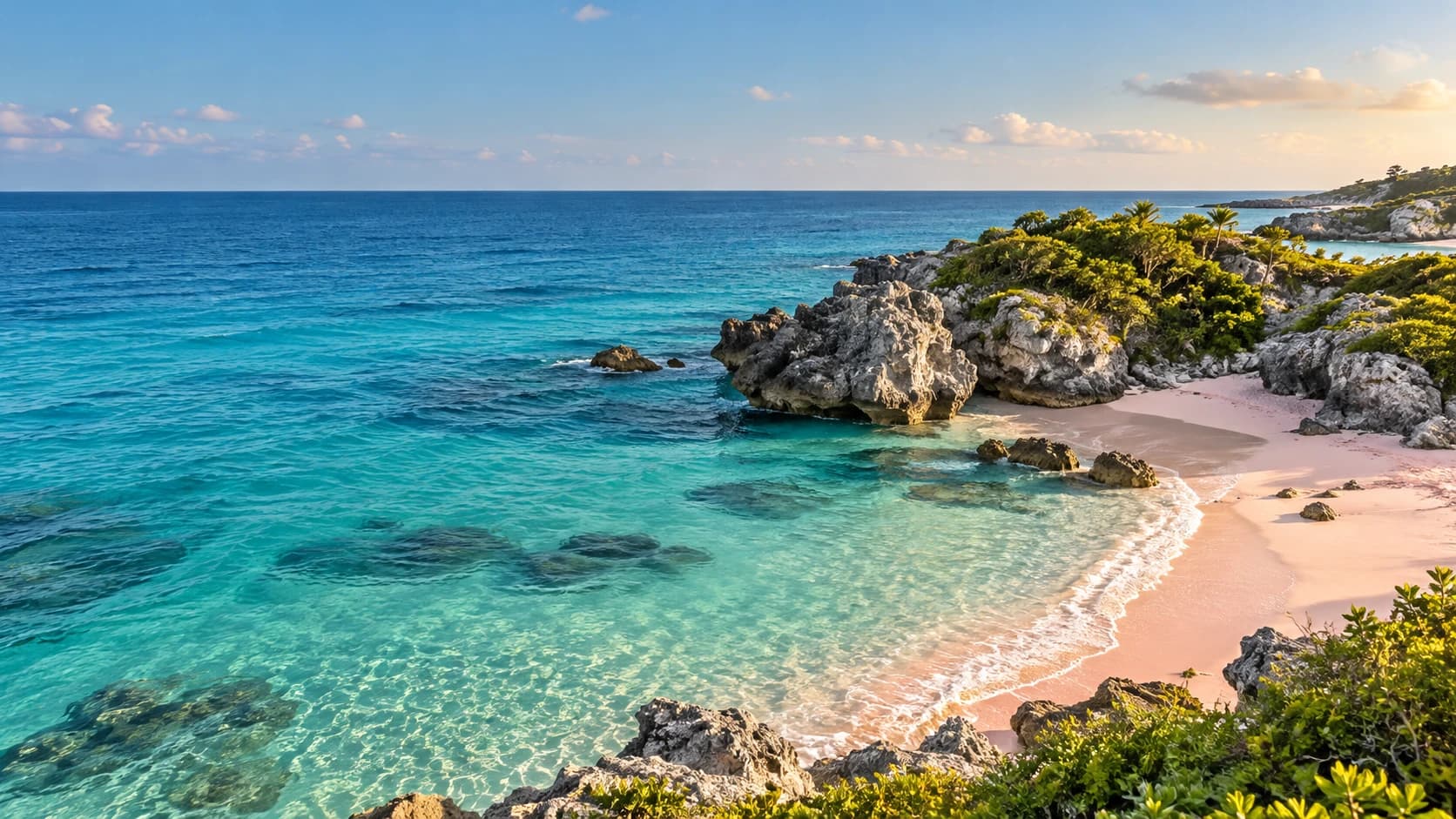
Pink-sand coves, white rainwater roofs and sheltered harbours meet maritime heritage, Gombey traditions and North Atlantic cooking.
Worth coming back!
Wanderlama keeps growing with new destinations, helpful information and exciting features. Check back soon and discover what is new!
Travel to Bermuda
Bermuda is a self-governing British Overseas Territory in the North Atlantic, not in the Caribbean Sea. Its connected islands combine pink-sand coves, limestone shores, sheltered harbours and pastel houses beneath distinctive white roofs. These stepped roofs collect rainwater, expressing an architectural tradition shaped by island life. Beyond the beaches, Bermuda offers maritime history, walking routes, art and a cultural identity with African, British, Caribbean and Portuguese influences.
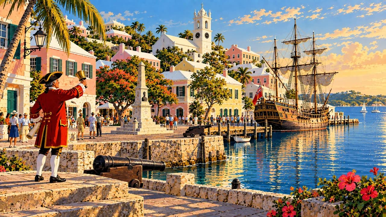
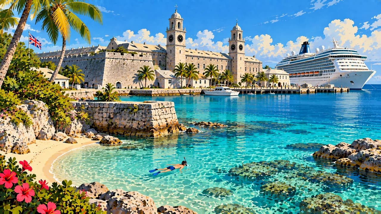
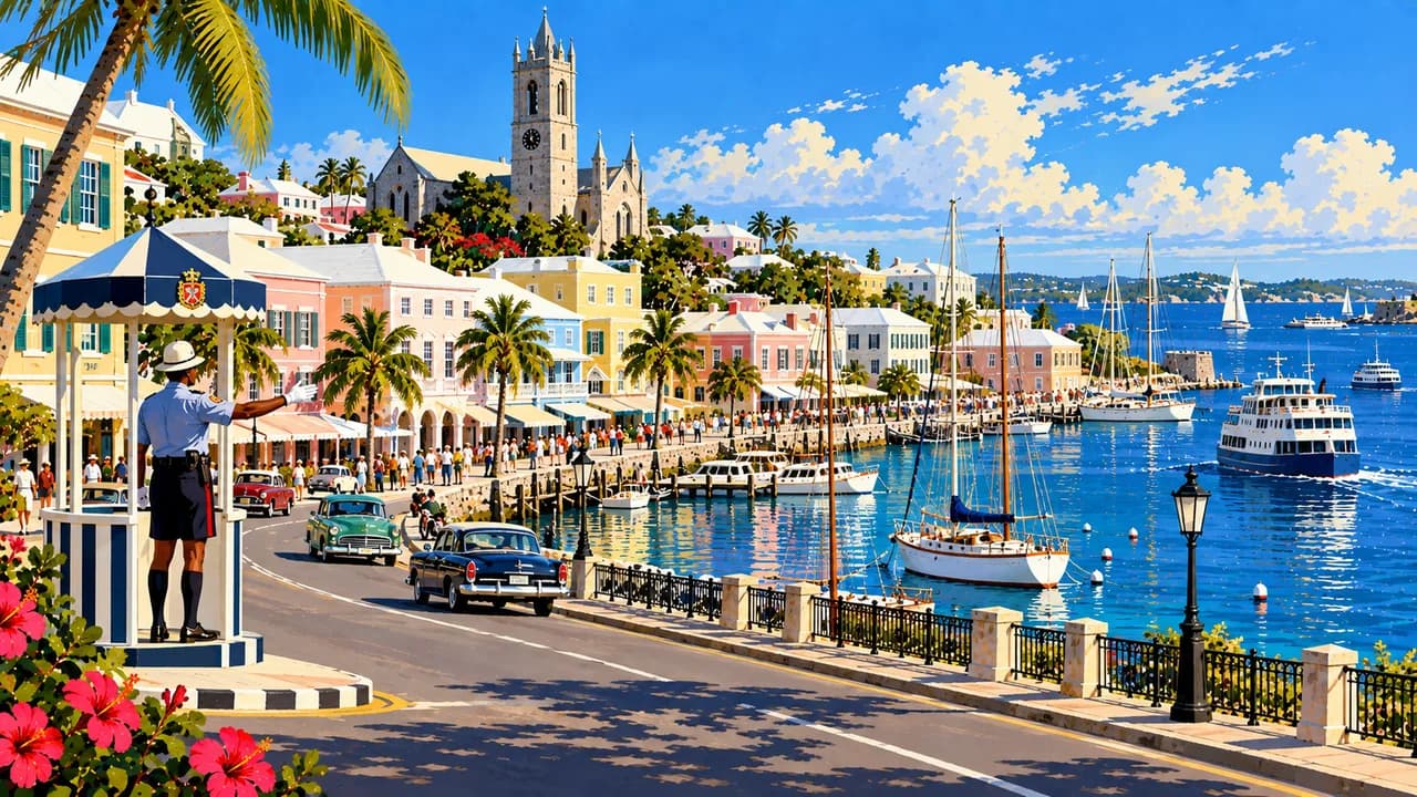
Hamilton, the capital, brings together waterfront Front Street, shops, galleries and restaurants around a working harbour. At the eastern end, St. George’s preserves narrow streets and historic buildings within a UNESCO World Heritage Site comprising the town and related fortifications. The Royal Naval Dockyard in the west has a separate naval history, with the National Museum of Bermuda exploring seafaring, enslavement and the island’s wider social past.
Horseshoe Bay combines pink sand with rocky headlands along the South Shore, where neighbouring coves provide different coastal settings rather than identical beach experiences. Gibbs Hill Lighthouse adds a landmark above the western landscape. Offshore reefs and shipwrecks offer opportunities for snorkelling and diving when conditions permit, while the Atlantic setting means water conditions vary between exposed shores and sheltered bays.
Around Bailey’s Bay, coastal paths and nearby Crystal and Fantasy Caves reveal another side of Bermuda, with limestone formations and clear underground pools. The Bermuda Railway Trail follows sections of the former railway through coastal scenery and green inland stretches. Spittal Pond adds wetland habitats and birdwatching, complementing the gardens, small woodlands and rocky shorelines encountered across the islands.
Gombey dancing and drumming, elaborate costumes and community celebrations express traditions that cannot be reduced to colonial architecture. Local cooking includes fish chowder seasoned with rum and sherry peppers, fish sandwiches and codfish breakfasts. Ferries and buses connect key places, making the journey across harbours and between settlements part of discovering an archipelago with distinct eastern, central and western areas.
AI edited
- 9
- Parishes Bermuda is divided into nine parishes. The self-governing British Overseas Territory is not an independent state. Its two municipalities are not additional parishes.
- ≈ 63,200
- Population Year-end 2024 population estimate in the Bermuda Digest of Statistics 2025, 63,179. Rounded to 63,200. Not a census count or live population estimate.
- ≈ 54 km²
- Area Approximate land area of the archipelago, excluding surrounding territorial waters. Bridges and causeways connect the main islands.
- English
- Language English is the official language used in administration and everyday life. Bermudian speech varieties are part of local identity.
- Portuguese
- Other languages Portuguese is spoken within the Portuguese-descended community, particularly with Azorean connections. It is not a second official language.
- Bermudian dollar (BMD)
- Currency The official currency is the Bermudian dollar, code BMD. It is pegged to the US dollar but remains a separate currency.
- A · B
- Socket types Electrical Safety First lists A and B, 120 V, 60 Hz. Check your accommodation's sockets, voltage and appliance compatibility. A plug adaptor does not convert voltage.
- Hamilton
- Capital The City of Hamilton is the capital and seat of government. It lies in Pembroke and is distinct from Hamilton Parish and the historic town of St. George’s.
- Left-hand traffic
- Driving side Traffic keeps to the left. Narrow, winding coastal roads shape the road network. Buses, ferries and taxis complement local transport.
- UTC−4 / UTC−3
- Time zone Atlantic Time with daylight saving. UTC−4 in winter and UTC−3 in summer. Displayed differences from browser and home time account for the respective clock changes.
Bermuda on the map

Map data: geoBoundaries (CC BY 4.0), © OpenStreetMap contributors (ODbL), Natural Earth
Climate and best time to travel
Bermuda lies in the North Atlantic and has distinct seasonal differences. May to October generally offers warmer water for beaches and underwater activities. Spring and autumn suit walks and nature exploration in milder temperatures. Rain is possible year-round, with changing winds and sea conditions. Culture and food can be explored throughout the year.