Azerbaijan
Azərbaycan
Walled cities, fire landscapes and Caucasus villages meet living craft traditions and the flavours of the Caspian coast.
Worth coming back!
Wanderlama keeps growing with new destinations, helpful information and exciting features. Check back soon and discover what is new!
Travel to Azerbaijan
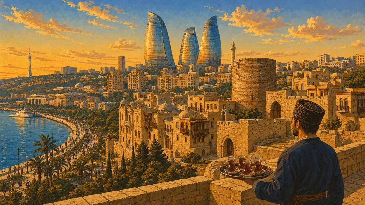
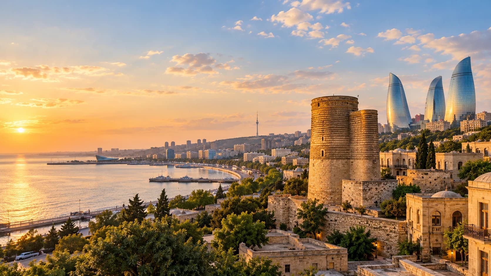
Azerbaijan stretches from the western shore of the Caspian Sea to the high Caucasus, combining dry lowlands, wooded slopes and mountain villages. Oil wealth has shaped Baku, where the UNESCO-listed walled old city, Maiden Tower and Palace of the Shirvanshahs contrast with the Flame Towers, contemporary architecture and a long waterfront boulevard.
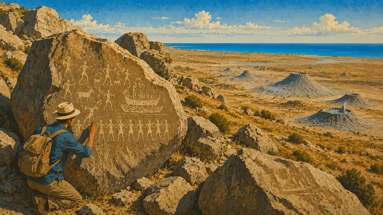
Beyond the capital, Gobustan preserves prehistoric rock carvings in a stark rocky landscape, with mud volcanoes elsewhere in the surrounding region. The Absheron Peninsula adds the Ateshgah fire temple and the gas-fed flames of Yanar Dag. Together these places connect archaeology, geology and the religious significance of fire, rather than simply extending Baku’s modern skyline.
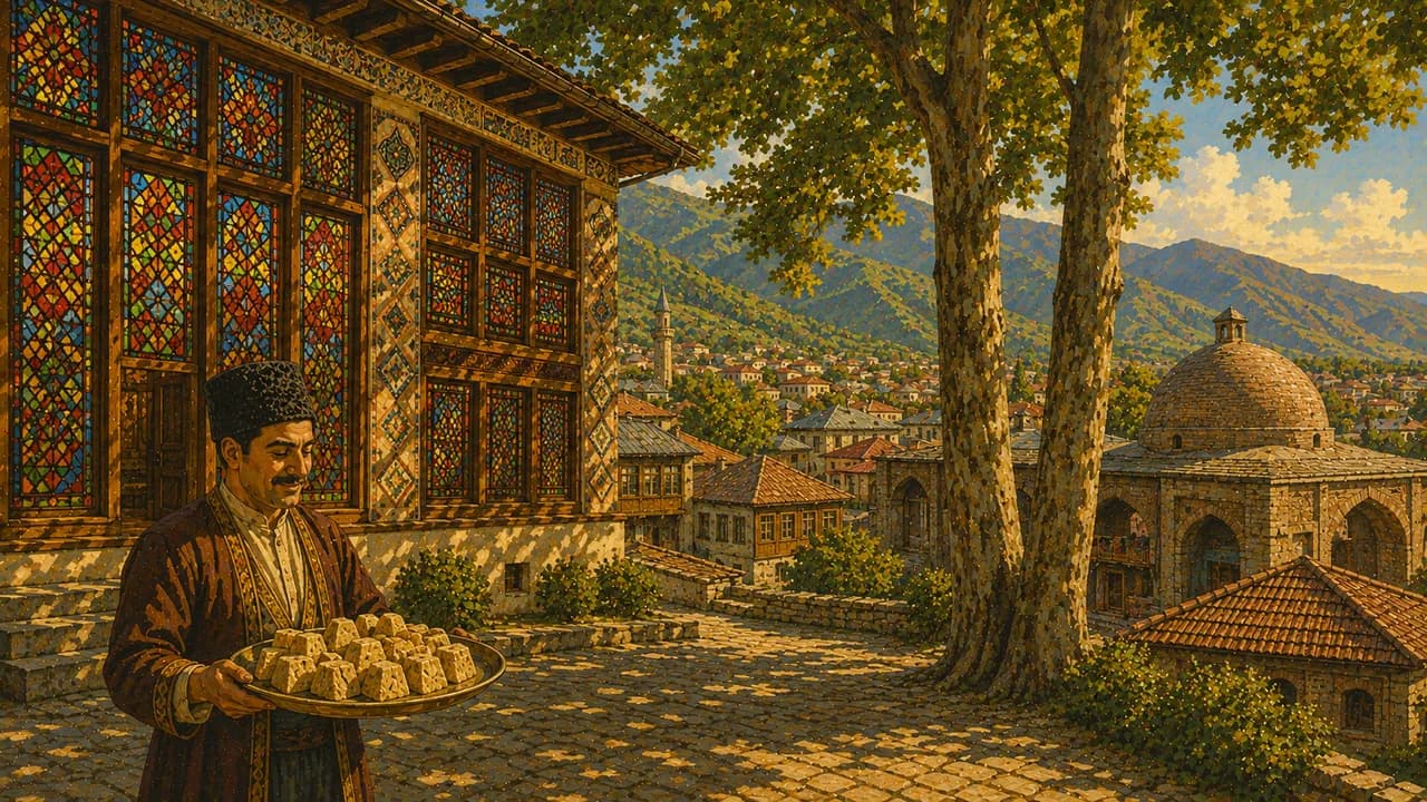
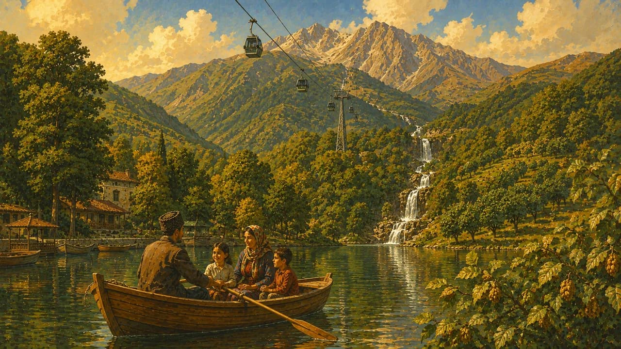
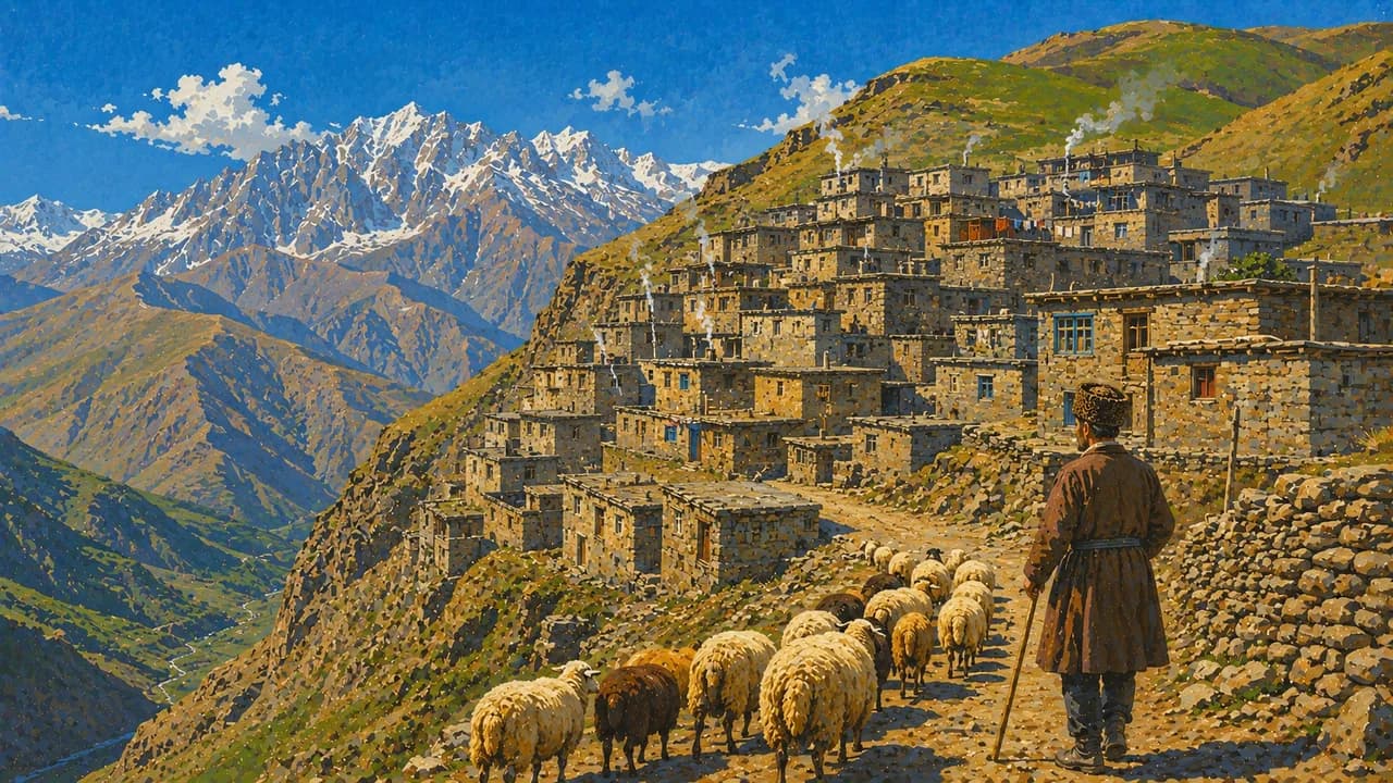
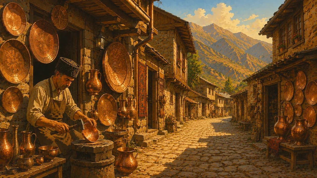
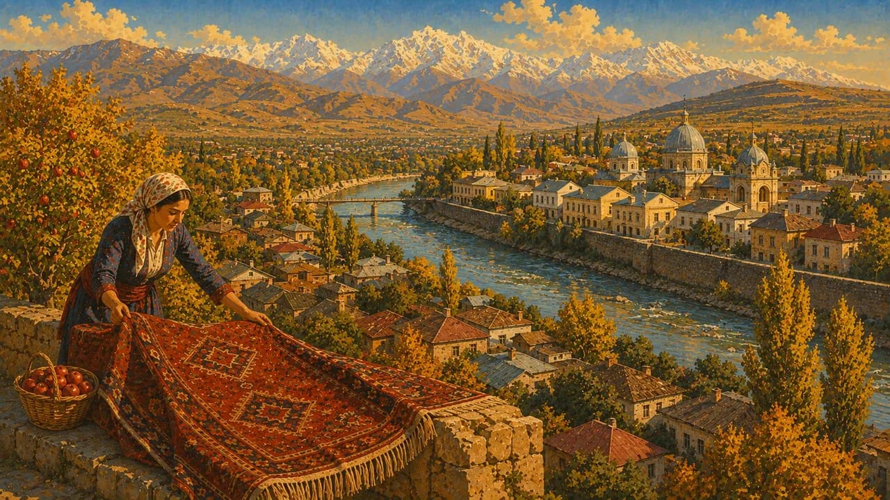
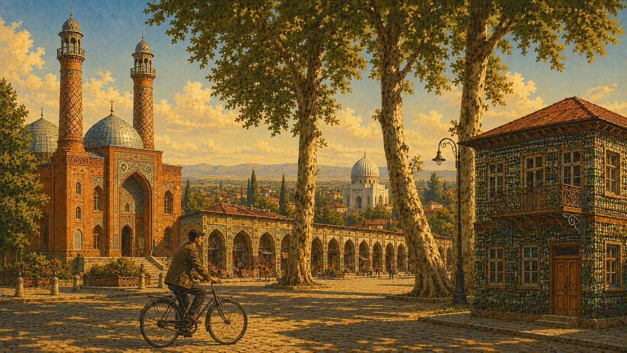
In the Greater Caucasus foothills, Sheki combines a decorated khan’s palace, coloured glass latticework and caravanserais linked to historic trade. Lahij preserves cobbled streets and coppersmith workshops. Quba offers carpet traditions and access to the Mountain Jewish heritage of nearby Red Village. Higher up, Khinalug forms part of a UNESCO cultural landscape shaped by seasonal pastoral migration. Gabala adds forested scenery, lakes and the Tufandag mountain resort.
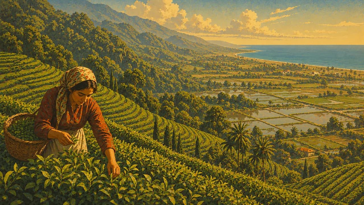
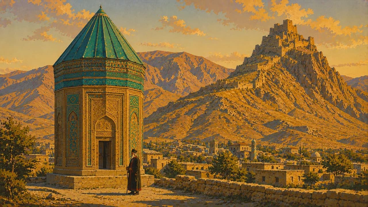
Ganja brings mosques, brick architecture and the legacy of the poet Nizami, with mountain landscapes around Lake Goygol nearby. In the wetter south, Lankaran contrasts with the dry capital region through tea gardens, citrus orchards and the Hyrcanian forests. The separate exclave of Nakhchivan adds the patterned brickwork of the Momine Khatun Mausoleum and arid mountain scenery, requiring its own transport planning.
Herbs, saffron rice, dolma, regional sweets and tea served in pear-shaped glasses accompany everyday encounters. Spring and autumn often suit cities and lower landscapes, while summer opens more mountain routes. Heat, snow and road conditions vary strongly with elevation. Check regional travel advice, access restrictions and current transport arrangements before remote or border-area journeys, and follow protected-area routes.
AI edited
- 14
- Economic regions Fourteen economic regions under the division adopted in 2021, including Baku and Nakhchivan. These are regional economic groupings, not a count of administrative districts.
- ≈ 10.26 million
- Population The official population series records 10,262.4 thousand residents at the beginning of 2026.
- 86,600 km²
- Area National territory published by the Ministry of Foreign Affairs, including the Nakhchivan exclave.
- Azerbaijani
- Language Azerbaijani is the official language and uses a Latin-based alphabet.
- Russian & English
- Other languages Russian and English are encountered in tourism, especially in Baku. Availability varies outside major visitor areas.
- Azerbaijani manat
- Currency The currency is the manat, code AZN and symbol ₼. Cash can be useful outside larger towns.
- C · F
- Socket types Types C and F sockets. The tourism board lists 220 V at 50 Hz. Check device and adapter compatibility.
- Baku
- Capital Baku, locally Bakı, is the capital. The clock follows Asia/Baku.
- Right-hand traffic
- Driving side Vehicles drive on the right. Mountain roads and winter conditions can lengthen journeys.
- UTC+4
- Time zone Local time is UTC+4 throughout the year. Seasonal clock changes ended in 2016.
- 4
- UNESCO cultural sites Four UNESCO cultural inscriptions cover Baku, Gobustan, Sheki and the Khinalig cultural landscape. The transboundary Hyrcanian Forests are a separate natural inscription, making five properties overall.
Azerbaijan on the map

Map data: geoBoundaries (CC BY 4.0), © OpenStreetMap contributors (ODbL), Natural Earth
Climate and best time to travel
Azerbaijan varies from dry, hot lowlands to cooler Caucasus elevations and the wetter southern coast. Spring and autumn often suit cities, craft towns and lower heritage routes. Summer opens more mountain walks, while heat can affect exposed lowland sites. Southern forests and wetlands have different rainfall and wildlife seasons. Snow sports depend on snow and resort operation. Check mountain access, protected-area rules and current regional travel advice. Nakhchivan requires separate transport planning. Month chips indicate typical planning windows, with no guarantee of weather, sightings or access.