United States of America
Vast canyons, vibrant cities and remarkable national parks between Pacific shores, mountain landscapes and tropical islands.
Worth coming back!
Wanderlama keeps growing with new destinations, helpful information and exciting features. Check back soon and discover what is new!
Travel to the United States of America
The United States of America stretches from the Atlantic to the Pacific and from the Arctic to the tropics. New York combines Central Park, the Statue of Liberty and Manhattan's museums. Washington, D.C., Boston and Philadelphia offer national museums and sites of the country's founding history.
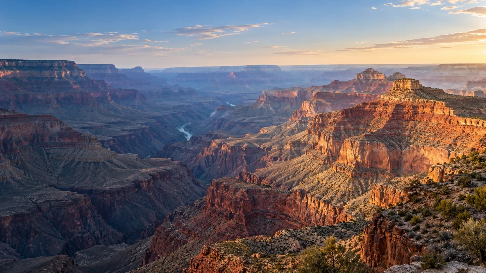
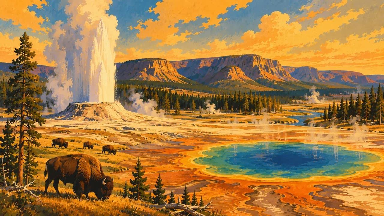
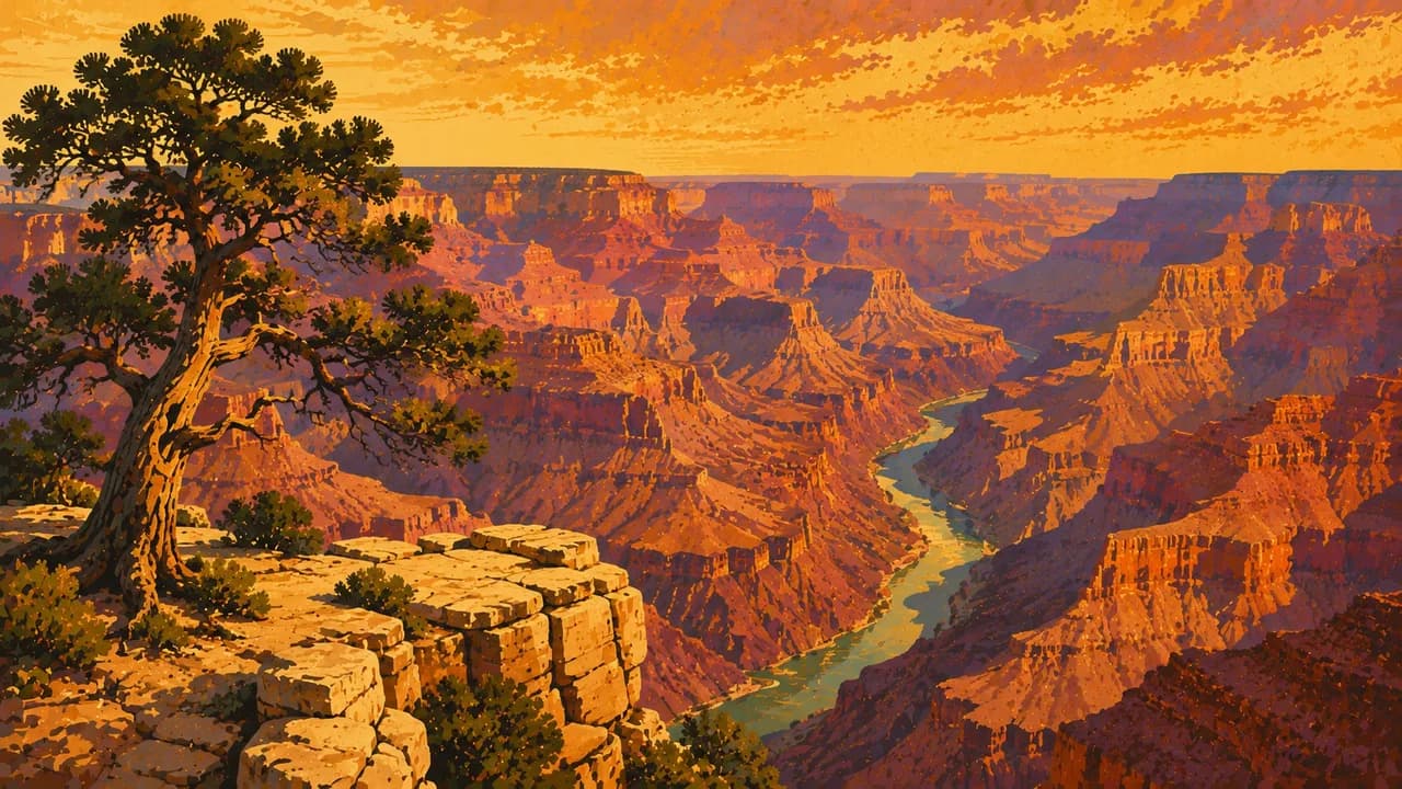
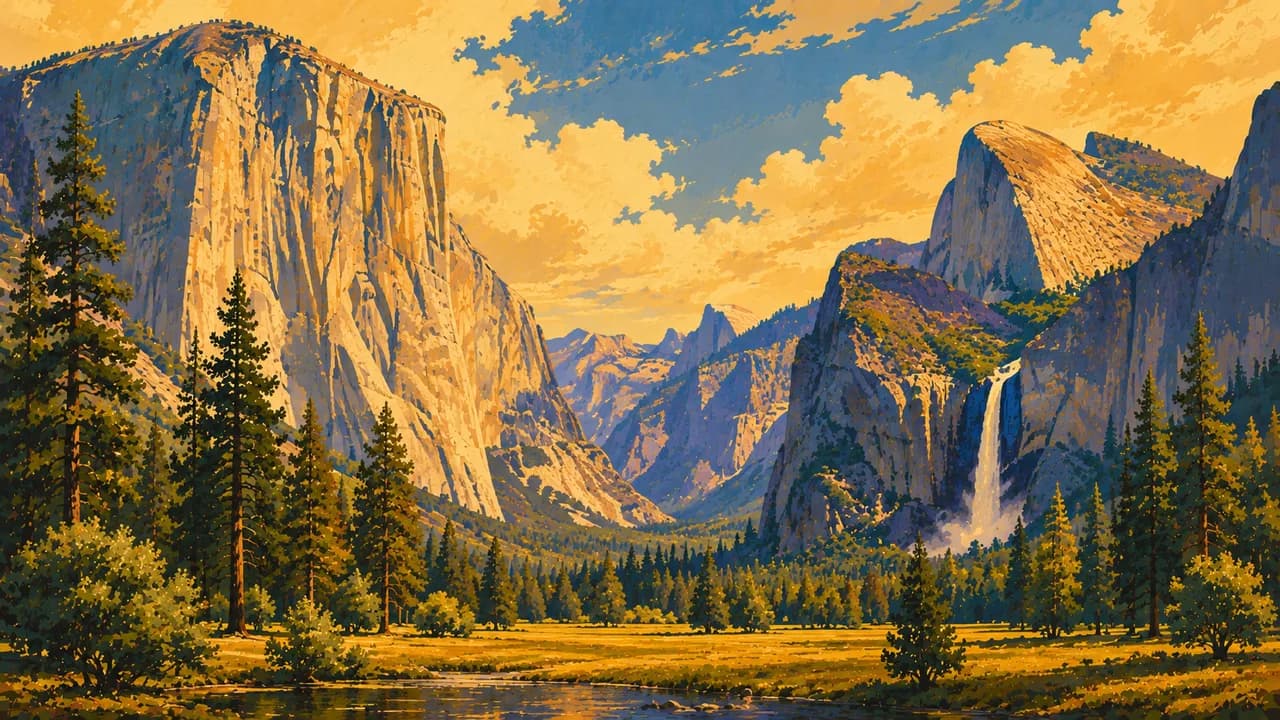
New England adds coastal towns and autumn foliage, while Chicago introduces the architecture and shores of the Great Lakes. The Appalachian Mountains and Great Smoky Mountains offer forest trails. Florida combines beaches, the Keys and the wetlands of the Everglades. Jazz in New Orleans, country music in Nashville and regional barbecue express the South's varied traditions. The Rocky Mountains, Yellowstone, Grand Canyon, Zion and Yosemite reveal mountains, geothermal landscapes and deep canyons.
Indigenous communities share living cultures through museums, guided visits and regional food. San Francisco, Los Angeles and Seattle complement Pacific beaches, forests and wine regions. Road trips follow sections of historic Route 66 or the Pacific Coast Highway. Alaska offers glaciers and wildlife, including the landscapes of Denali National Park. Hawaii combines volcanic scenery, beaches and Native Hawaiian culture. Regional cuisines reflect Indigenous traditions, African American heritage and successive waves of immigration.
Long distances and regional differences in climate make focused routes and seasonal planning worthwhile. National parks, popular museums and remote routes can have separate reservation or access arrangements. City neighbourhoods and smaller regional centres deserve time alongside the best-known landmarks, rather than serving only as overnight stops.
AI edited
- 50
- States
- 64
- National parks
- 341.8 million
- Population
- 9,833,517 km²
- Area
- English
- Language
- Spanish & other languages
- Other languages Spanish is widely spoken. Depending on the region, other languages include Chinese, Tagalog, Vietnamese and Indigenous languages. Additional language skills vary by region and person.
- US dollar (USD)
- Currency
- A · B
- Socket types
- Washington, D.C.
- Capital
- Right-hand traffic
- Driving side
- UTC−10 to UTC−4
- Time zones Six standard time zones in the 50 states, nine including inhabited territories. Daylight saving varies regionally. The clock starts with Washington, D.C.
- 13
- UNESCO cultural sites
The United States of America on the map

Map data: geoBoundaries (CC BY 4.0), © OpenStreetMap contributors (ODbL), Natural Earth
Climate and best time to travel
There is no single best travel season for the USA. Spring and autumn are often pleasant for cities in the Northeast, around the Great Lakes and in the South. Autumn foliage peaks vary with latitude, elevation and weather. Southwestern deserts and canyons are often more comfortable in spring and autumn, while extreme summer heat can make hiking dangerous. Summer is favourable for many high-elevation national parks and Alaska, but snow and seasonal road closures can persist well into spring and return in autumn. The Pacific coast often offers good conditions from May to October, with local coastal fog and cool water. South Florida's dry season falls mainly in winter and spring. The Atlantic hurricane season runs from June to November. Hawaii can be visited year-round, with generally drier months from May to October and often powerful winter surf. The months shown are guidelines. Check weather, wildfire conditions, park access and local warnings before outings.
Destinations in the United States of America
 AI generated
 AI generated
 AI generated
 AI generated
 AI generated
 AI generated
 AI generated
 AI generated
 AI generated
 AI generated
 AI generated
 AI generated