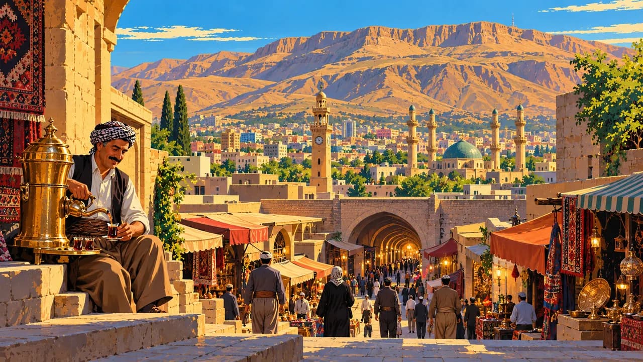
 AI generated
Sulaymaniyah
Iraq · Sulaymaniyah Governorate · 880 m
Short description of Sulaymaniyah
Sulaymaniyah (سلێمانی) is the cultural capital of Iraqi Kurdistan, a young university city ringed by mountains. The Amna Suraka museum occupies a former security headquarters and documents the campaign against the Kurds in the building where it was run. The Sulaymaniyah Museum holds the second largest antiquities collection in Iraq, and the covered bazaar runs for blocks around it. Goizha Mountain above the city is walked at sunset, and the lakes, gorges and waterfalls of the province fill with picnics on holidays. Halabja with its memorial lies to the southeast, and the terraced villages of Hawraman rise near the Iranian border.
AI edited
Worth coming back!
Wanderlama keeps growing with new destinations, helpful information and exciting features. Check back soon and discover what is new!
Recommended length of stay
Travel seasons at a glance
Best time to visit: April – May or September
- Jan
- Feb
- Mar
- Apr
- May
- Jun
- Jul
- Aug
- Sep
- Oct
- Nov
- Dec
All highlights and sights
- Amna Suraka Red Security Museum
- Sulaymaniyah Grand Bazaar
- Sulaymaniyah Museum
- Goizha Mountain walk
- Azadi Park
- Lake Dukan(Day trip)
- Ahmed Awa waterfall(Day trip)
- Halabja memorial and monument(Day trip)
- Tawela and Biyara in the Hawraman valley(Day trip)
- Sarchinar springs and teahouses
- Chavi Land amusement park and cable car
- Bazaar tea rooms and Kurdish sweets
- Jasana and Zalm gorge picnic grounds
- Skiing on Mount Korek and the Zagros passes (January - March)(Day trip)
Ways to get there and away
- Airports nearby:
- ISU Jalal Talabani International Airport (Sulaymaniyah) · 11 km west(recommended)
- KIK Kirkuk International Airport (Kirkuk) · 99 km west
- SDG Sanandaj Airport · 146 km east
- Nearest railway station:
- Samarra (Samarra) · 208 km southwest
Map view
Distances
Nearest destinations
Main cities in Iraq
Straight line. With the car symbol: road distance and pure driving time, where already worked out. Population: GeoNames (CC BY 4.0).