Bonaire
Boneiru
Reefs, mangrove lagoons and salt landscapes meet cactus-covered hills, village traditions and the flavours of the southern Caribbean.
Worth coming back!
Wanderlama keeps growing with new destinations, helpful information and exciting features. Check back soon and discover what is new!
Travel to Bonaire
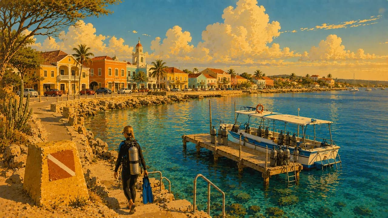
Bonaire is an island in the southern Caribbean and forms part of the Netherlands as a special municipality. Coral reefs, mangrove lagoons and salt flats contrast with cactus-covered hills and a rugged northern coast. Kralendijk, the island’s main town, combines colourful waterfront buildings, a harbour and restaurants, providing a starting point for exploring both the coast and the dry interior.
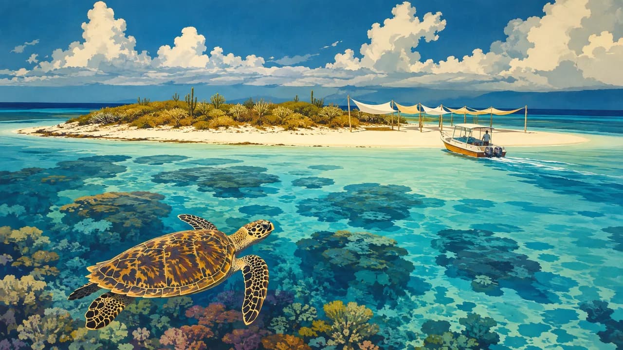
The Bonaire National Marine Park protects waters around Bonaire and Klein Bonaire from the high-water mark to a depth of sixty metres, including reefs, seagrass and mangroves. Numerous marked shore-diving sites allow underwater exploration without a boat, where access and conditions permit. Offshore, uninhabited Klein Bonaire adds sandy shores and turtle-nesting habitat rather than a developed resort island.
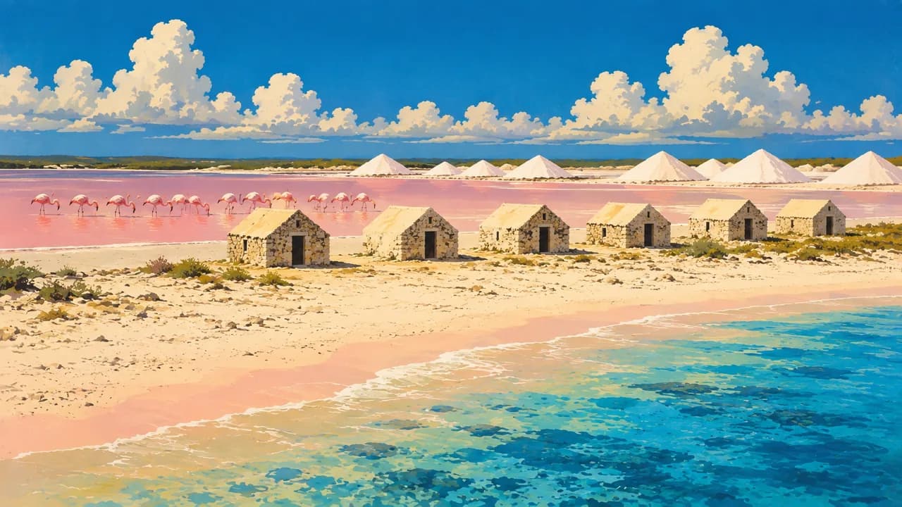
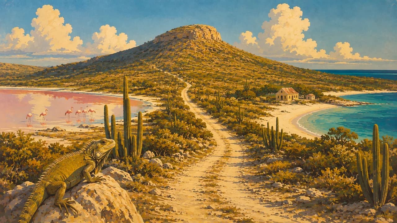
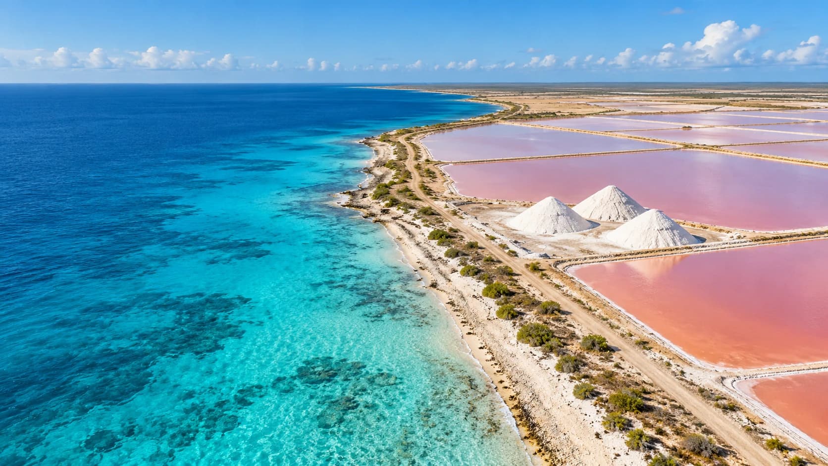
In the south, Pink Beach provides a coastal stop near the salt-producing landscape. White salt heaps, evaporation ponds and Pekelmeer reveal connections between industry and wetland habitats, including flamingo breeding grounds. The small former shelters for enslaved salt workers recall the exploitation behind the island’s colonial economy. The protected flamingo sanctuary is not a walk-in attraction, and wildlife sightings are never guaranteed.
Washington Slagbaai National Park preserves the northwest’s dry woodland, rocky bays and hills, with trails around Brandaris and habitats for parrots, flamingos and reptiles. Inland Rincon adds a different perspective through its village streets, local food and agricultural heritage. Its traditions connect the surrounding landscape with community life rather than presenting Bonaire solely as a diving destination.
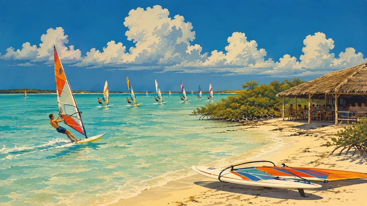
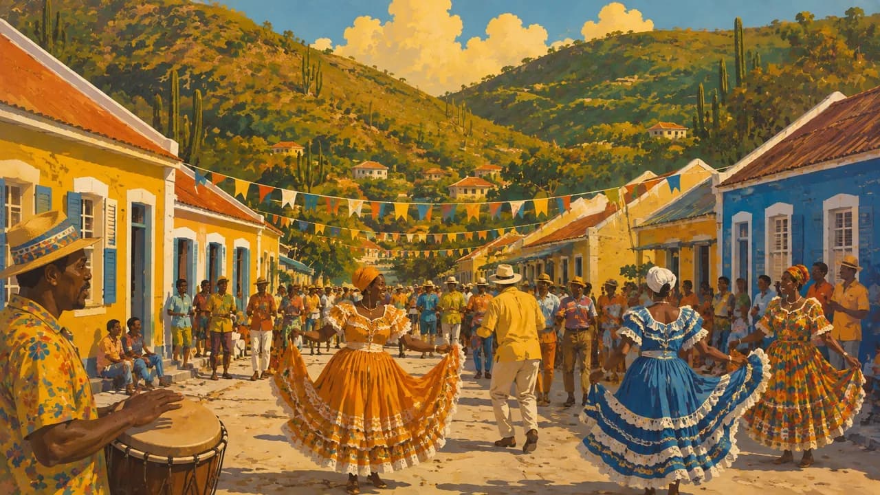
On the east coast, Sorobon borders Lac Bay, where shallow lagoon waters support windsurfing and mangrove forests shelter young marine life. Papiamentu, music and Simadan harvest traditions express the island’s living culture alongside its Indigenous and colonial history. Fish dishes, goat stews and tropical fruits reflect local and wider Caribbean influences. Together, these coastal, natural and cultural settings offer variety beyond the reef.
AI edited
- Special municipality
- Political status Bonaire is a public body within the Netherlands, often called a special municipality. It is not an autonomous Kingdom country or an independent state.
- ≈ 27,600
- Population CBS registered population on 1 January 2026, 27,611. Rounded to 27,600. This figure is for Bonaire, not the three Caribbean Netherlands islands combined.
- 288 km²
- Area Approximate land area of Bonaire’s public body, excluding surrounding territorial waters.
- Papiamentu & Dutch
- Languages Papiamentu is central to island life. Papiamentu and Dutch are used in local administration, with Papiamentu also recognised as a regional language.
- English & Spanish
- Other languages English and Spanish are also spoken. Their everyday use does not imply that every resident speaks all four languages.
- US dollar (USD)
- Currency The official currency is the US dollar, code USD, not the euro, Aruban florin or Caribbean guilder.
- A · C
- Socket types Electrical Safety First lists A and C, 127 V, 50 Hz. Check your accommodation’s actual outlet, voltage and appliance compatibility. An adaptor does not convert voltage.
- Kralendijk
- Main town Kralendijk is the administrative centre and main harbour town. Bonaire is not an independent state with a separate national capital.
- Right-hand traffic
- Driving side Traffic drives on the right. Rough northern tracks and paved coastal roads are different environments, so a suitable vehicle matters.
- UTC−4
- Time zone Atlantic Standard Time throughout the year, without daylight saving. Differences from browser and home time can change when those places switch clocks.
Bonaire on the map

Map data: geoBoundaries (CC BY 4.0), © OpenStreetMap contributors (ODbL), Natural Earth
Climate and best time to travel
Bonaire has a warm, dry tropical climate shaped by trade winds. February–June is generally drier, while September–January is wetter. Outdoor cards follow the drier window, not guaranteed visibility, calm seas or wildlife sightings. Lagoon and mangrove activities depend on local conditions, while village culture and food can be explored year-round.