Aruba
White-sand bays, cactus-covered hills and a rugged coast meet colourful streets, living island traditions and Caribbean flavours.
Worth coming back!
Wanderlama keeps growing with new destinations, helpful information and exciting features. Check back soon and discover what is new!
Travel to Aruba
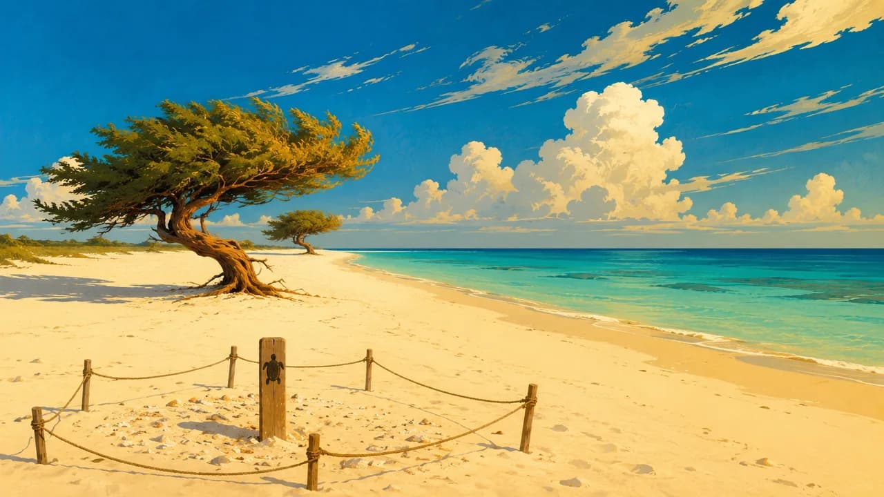
Aruba is an island near Venezuela and an autonomous country within the Kingdom of the Netherlands. White-sand shores contrast with cactus-covered hills, wind-shaped trees and a rugged northeastern coast. Its compact size brings beaches, towns and dry landscapes close together, while the differences between the resort coast and the interior give the island more variety than a beach-only holiday suggests.
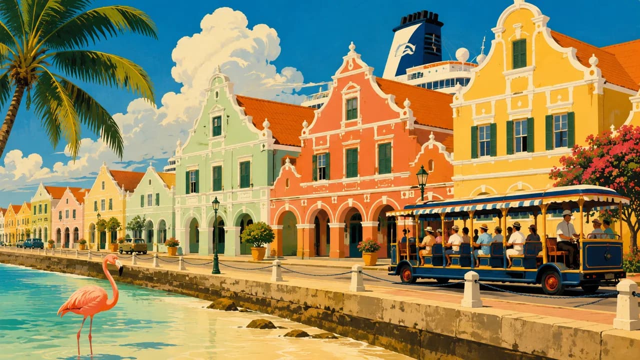
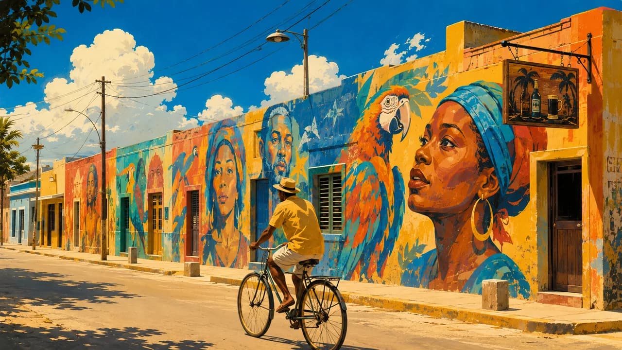
Oranjestad, the capital, combines colourful historic buildings, a waterfront and museums. Fort Zoutman and the National Archaeological Museum introduce different layers of island history, including Indigenous Caquetio heritage and colonial rule. In San Nicolas, murals by local and international artists add a contemporary cultural focus beyond the main hotel districts.
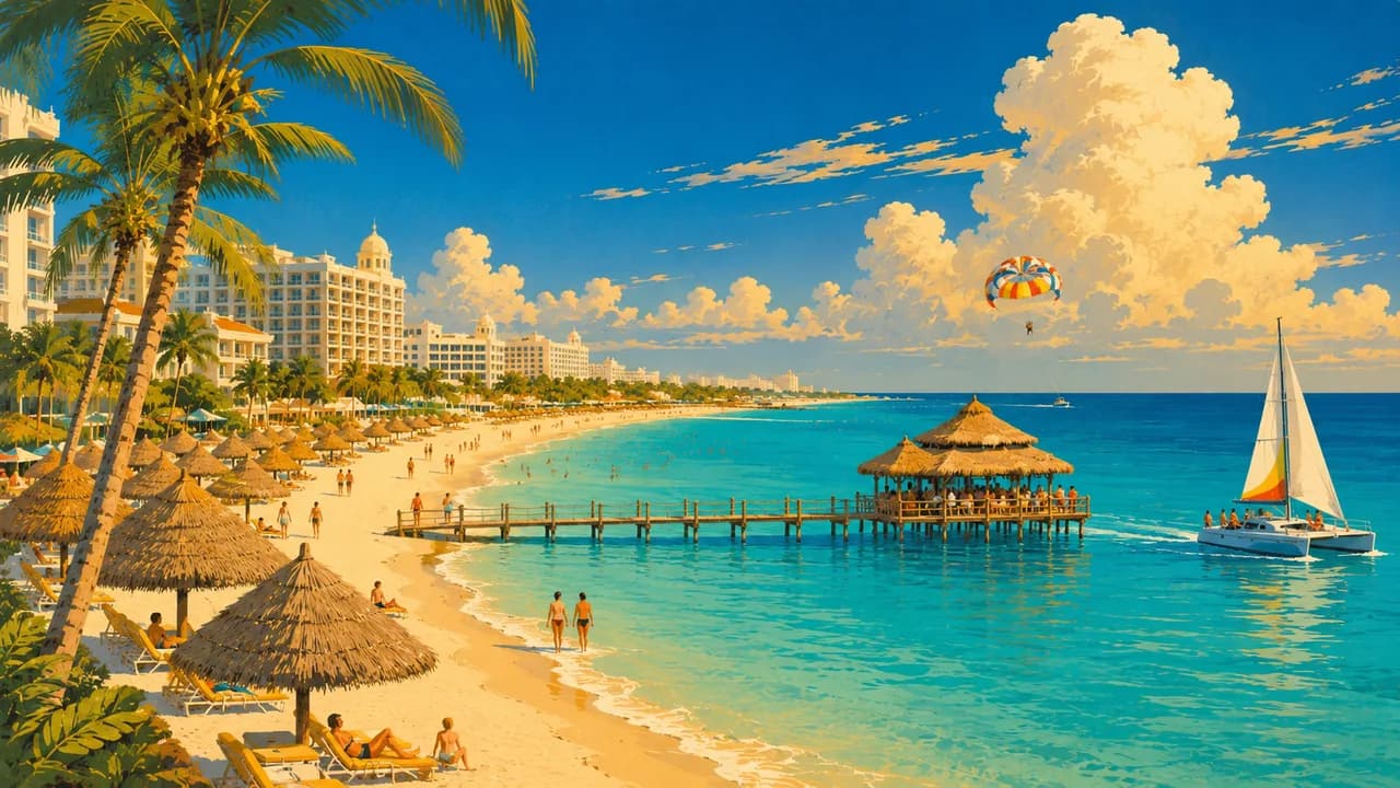
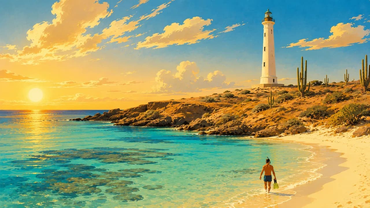
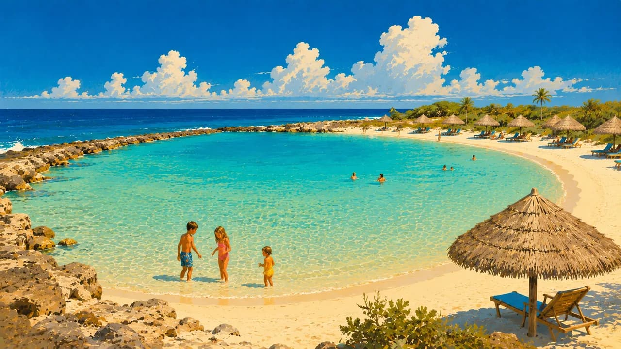
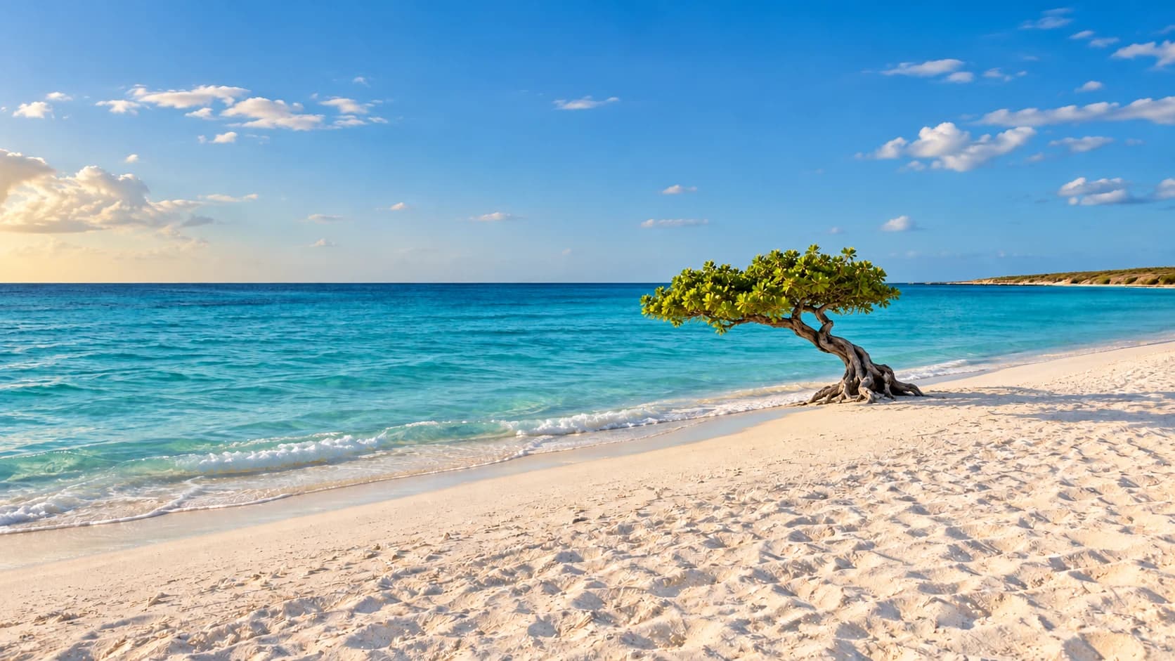
Eagle Beach offers a broad sweep of pale sand and distinctive fofoti trees, while Palm Beach has a livelier hotel and restaurant strip. Arashi Beach lies near the California Lighthouse in the northwest, with rocky coastal scenery around nearby Malmok. In the southeast, Baby Beach forms a sandy bay near San Nicolas, adding another coastal setting rather than a guarantee of uniformly calm water.
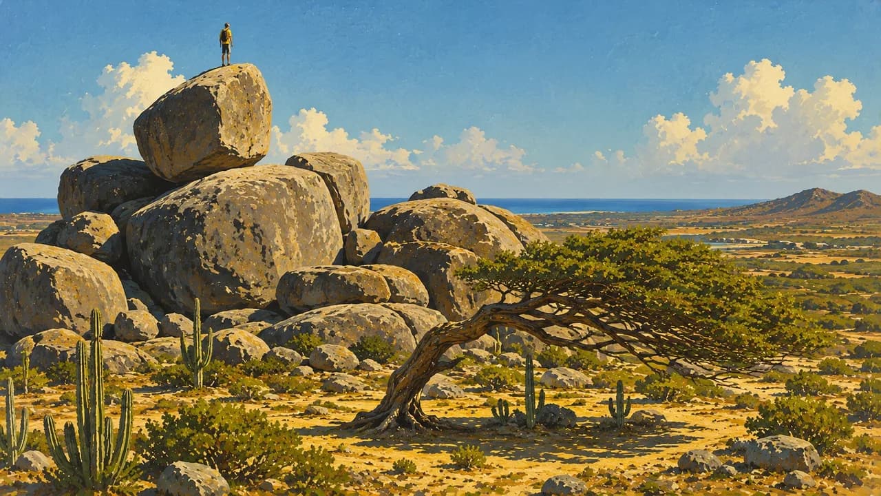
Arikok National Park protects arid landscapes with cacti, limestone caves and a wave-exposed coast. Fontein Cave preserves Indigenous rock drawings, while Quadirikiri reveals naturally lit chambers. The Natural Pool, also called Conchi, lies among volcanic rocks on this rugged shoreline. Inland, Casibari and the nearby Ayo formations add large boulders, walking paths and views across the island.
Papiamento, music and carnival traditions express Aruba’s Caribbean identity alongside Dutch and Latin American influences. Local food includes pastechi pastries, keshi yena and fish dishes. Trade winds support windsurfing and kitesurfing, while reefs and wrecks offer underwater exploration when conditions suit. The climate is warm and relatively dry, but rainfall varies seasonally rather than disappearing throughout the year.
AI edited
- Autonomous country
- Political status Aruba is an autonomous country within the Kingdom of the Netherlands, not an independent sovereign state or a Dutch municipality.
- ≈ 109,400
- Population CBS and Civil Registry population figure at the end of the second quarter of 2025, 109,435. Rounded to 109,400, not a live count.
- 180 km²
- Area Approximate land area of Aruba, excluding surrounding territorial waters.
- Papiamento & Dutch
- Languages Papiamento and Dutch are Aruba’s official languages. Papiamento is central to everyday conversation and island cultural expression.
- English & Spanish
- Other languages English and Spanish are widely spoken alongside the official languages, but are not additional official languages.
- Aruban florin (AWG)
- Currency The official local currency is the Aruban florin, code AWG. It is distinct from the Caribbean guilder used on other islands.
- A · B · F
- Socket types Types A, B and F, 120 V, 60 Hz according to Electrical Safety First. Confirm the outlet voltage and appliance compatibility. A plug adaptor does not convert voltage.
- Oranjestad
- Capital Oranjestad, on the southwestern coast, is the capital, with a harbour, museums and historic buildings.
- Right-hand traffic
- Driving side Traffic drives on the right. Paved roads and rough park tracks are different environments, not interchangeable routes for an ordinary rental car.
- UTC−4
- Time zone Atlantic Standard Time throughout the year, without daylight saving. Differences from browser and home time can change when those places switch clocks.
Aruba on the map

Map data: geoBoundaries (CC BY 4.0), © OpenStreetMap contributors (ODbL), Natural Earth
Climate and best time to travel
Aruba has a warm, semi-arid climate. February–May is the dry season, June–August a transition and September–January the wetter period. Beach, reef and landscape cards show the drier window. Wind-sport months reflect stronger average trade winds, not guaranteed conditions. Culture and food can be explored year-round.