Bouvet Island
Bouvetøya
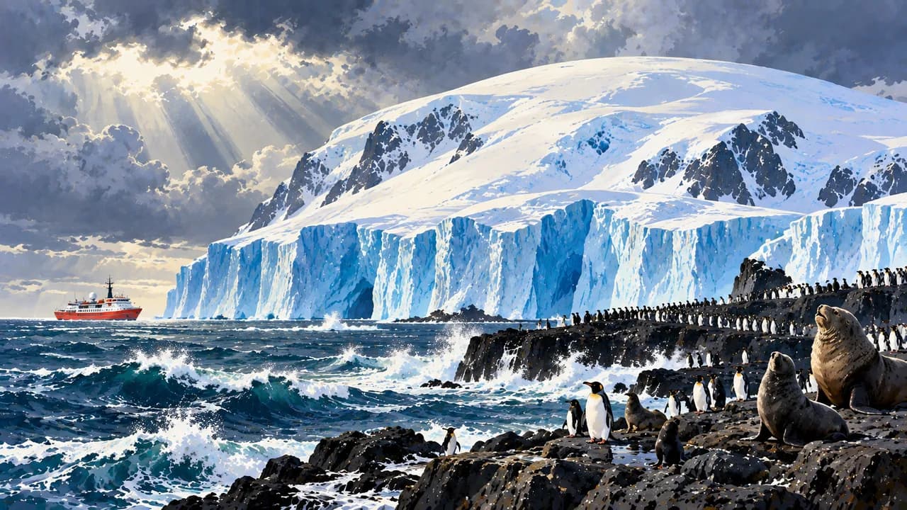
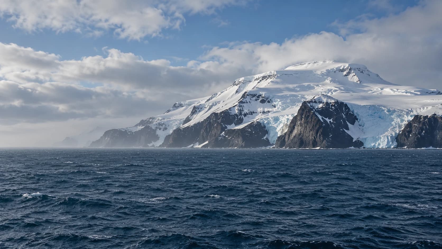
Ice-covered volcanic slopes, steep shores and wildlife colonies define a remote reserve without permanent settlements.
Worth coming back!
Wanderlama keeps growing with new destinations, helpful information and exciting features. Check back soon and discover what is new!
Travel to Bouvet Island
Bouvet Island is an uninhabited Norwegian dependency in the southern Atlantic, north of the Antarctic Treaty area. This isolated volcanic island has no permanent population or conventional visitor infrastructure. The island and its surrounding territorial waters form a nature reserve, where conservation takes priority over expedition visits.
An ice cap covers most of the roughly 49 square kilometres, rising towards Olavtoppen at 780 metres. Glaciers, exposed rock and steep coastal cliffs shape the landscape. Nyrøysa on the western side is a landslide terrace with a research station, rather than the island's only ice-free ground.
Antarctic fur seals, elephant seals, chinstrap penguins and macaroni penguins inhabit the coast. Mosses and lichens grow on exposed ground, while surrounding waters sustain seals and seabirds. Norwegian researchers monitor wildlife as part of the CCAMLR ecosystem programme. Sightings from a vessel depend on visibility and distance.
The French expedition leader Bouvet de Lozier sighted the island in 1739, and the Norwegian Norvegia expedition claimed it in 1927. Its history is tied to exploration, sealing and scientific work, not to towns or settled communities. Field installations are not visitor facilities.
Access is an exceptional expedition undertaking, not a routine cruise stop. There is no blanket island-wide tourist landing ban, but strict protection rules apply. Nyrøysa has a seasonal access closure, and helicopter landings require specific permission. Organisers must confirm current requirements with the Norwegian Polar Institute. Fog, swell, unstable slopes and glacier crevasses can prevent operations. There is no local rescue service, so self-sufficient logistics and emergency planning are essential. Neither a landing nor a circumnavigation is guaranteed.
AI edited
- Norwegian dependency
- Political status Subantarctic volcanic island north of the Antarctic Treaty area.
- ≈ 49 km²
- Area Rounded island area excluding surrounding territorial waters.
- Uninhabited
- Population Research deployments do not constitute permanent settlement.
- 780 m
- Highest point Olavtoppen rises above the largely glaciated island.
- Since 1971
- Nature reserve The island and territorial waters are protected. Wildlife, vegetation and terrain must not be disturbed or damaged.
- Nyrøysa
- Research location The field station serves scientific work and is not a visitor facility.
- Expeditions only
- Getting there No regular connection. Landings depend on weather, helicopter landings require permission.
- No rescue service
- Local support Expeditions require self-sufficient logistics and emergency preparedness.
- Cold & foggy
- Climate Maritime polar climate with frequently limited visibility. No reliable visitor season.
Bouvet Island on the map

Map data: geoBoundaries (CC BY 4.0), © OpenStreetMap contributors (ODbL), Natural Earth
Climate & access conditions
Bouvetøya has a cold, foggy maritime polar climate with frequent wind and swell. The southern summer from November to March brings the mildest conditions, longer days and the breeding season of seals and seabirds. Even then, fog, swell and unstable shores can prevent any landing. The island is a nature reserve, and visits require permits from the Norwegian Polar Institute. Equipment must be protected against introducing non-native species.